Willow Creek Ridge - Level 1
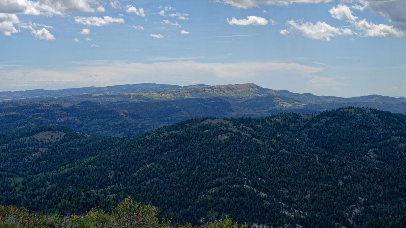
This route follows forest roads through high timber and open ridgeline in central Utah, in the Uinta-Wasatch-Cache National Forest, with a string of dispersed camping spots along the way. Views open up on the hilltop sections, and the road alternates between shaded stands of trees and open slopes.
The road also crosses private property for a short stretch, so it suits a relaxed day drive or an overnight trip with a camp along the way.
Trail Summary
- LocationUtah County, Utah
- Distance14.2 miles
- DifficultyLevel 1
- Elevation8,824 ft to 9,792 ft with a 968 ft change
- Travel Time2 hours 14 minutes
Difficulty
Suitable for high clearance 2WD
Level 1 is easy and suitable for high clearance 2WD. Stock equipment is enough. Expect dirt or rocky road with gentle grades, and obstacles such as rocks, dips or ruts under 5 inches. Roads are typically two vehicles wide. The driver rated the hardest spot on this route as level one at most, a shallow dip where a long trailer might ground out. Short shelf sections are wide enough to pass, at about one and a half vehicles wide, and one short narrow shelf of roughly 200 yards is noted near the end.
Terrain
The route runs on dirt forest road along ridges and through timber, with some open, exposed stretches. Several short shelf sections cut across hillsides. Side roads lead to camp areas, some of them tight between trees.
Highlights
Dispersed camping is plentiful. Sites range from a single small rig on a view point to large areas that fit several rigs, with a mix of shade, open ground and privacy. One side road has five or six sites, but vehicles need to fit between the trees. Remember that the road passes through private land, so stay on the road.
Map
The interactive map needs JavaScript. Every waypoint is also listed below.
Waypoints
Waypoint 1 (39.98652, -111.15370)
Start of the trail, number 70754.
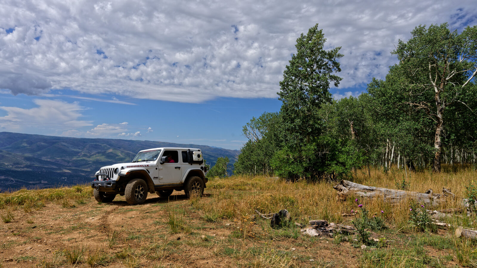
Waypoint 2 (39.98526, -111.14817)
Small camp spot with a great view that fits one smaller rig. It is private and has no shade.
Waypoint 3 (39.98753, -111.14220)
Another campsite right by the road. It is not private, has shade, and may hold three or four rigs.
Waypoint 4 (39.98994, -111.13451)
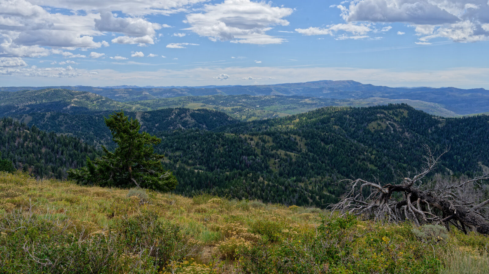
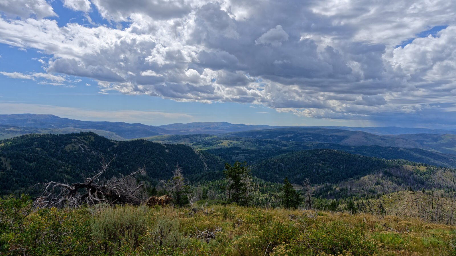
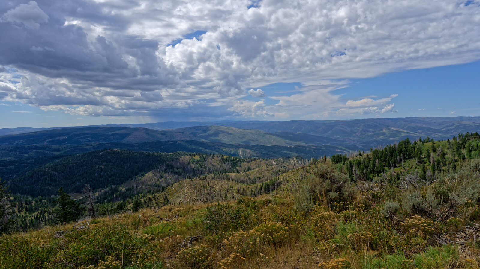
Boondocking down a short side road with five or six sites. Vehicles must fit through the trees, and shade and privacy vary.
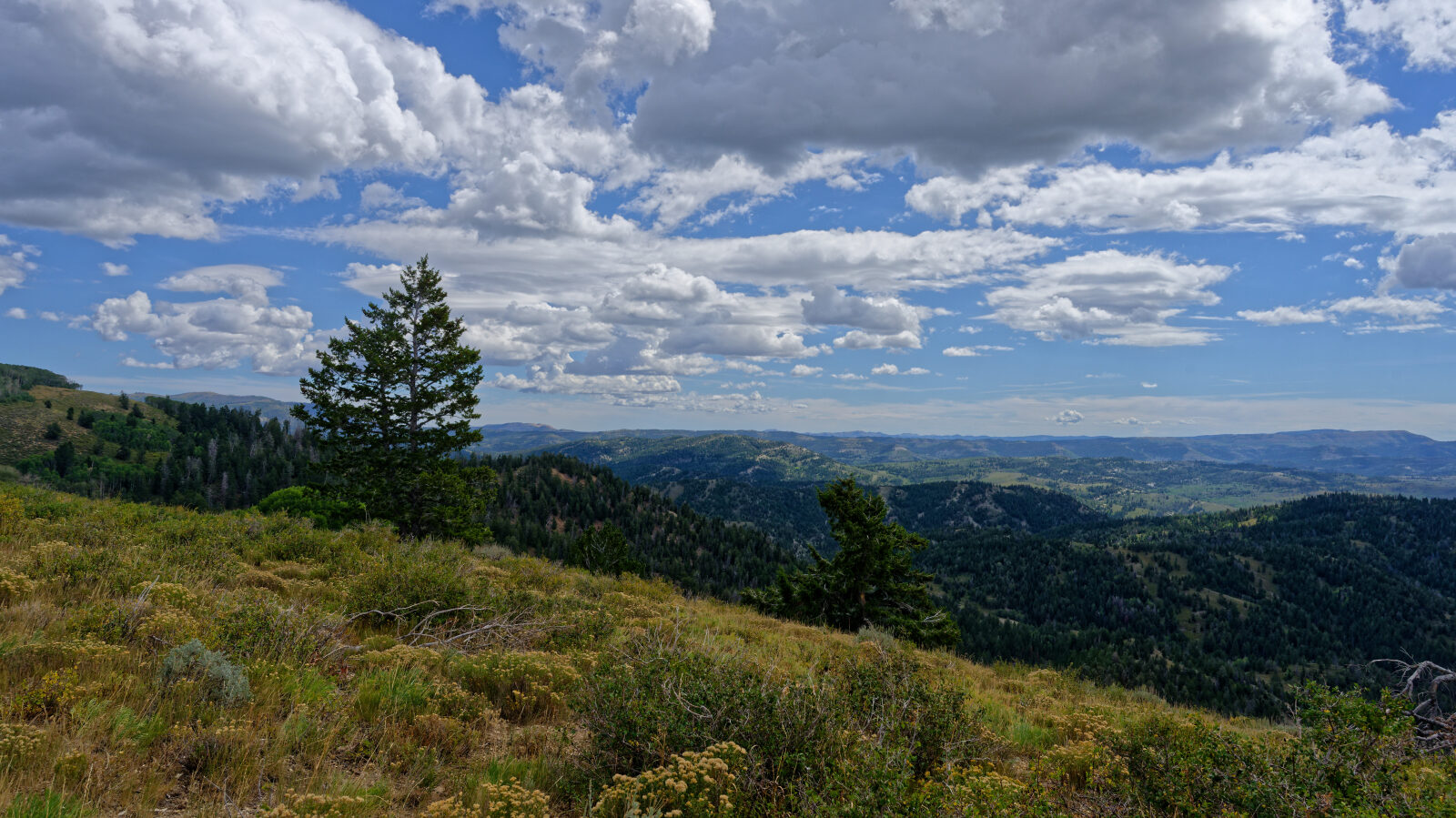
Waypoint 5 (39.99264, -111.12612)
Three or four very large camp sites, some shaded and some open. Privacy is possible.
Waypoint 6 (39.99749, -111.12135)
Short shelf road, wide enough for about one and a half vehicles, so there is room to pass.
Waypoint 7 (39.99761, -111.11875)
Shady camp spot for four or five rigs. It is not private.
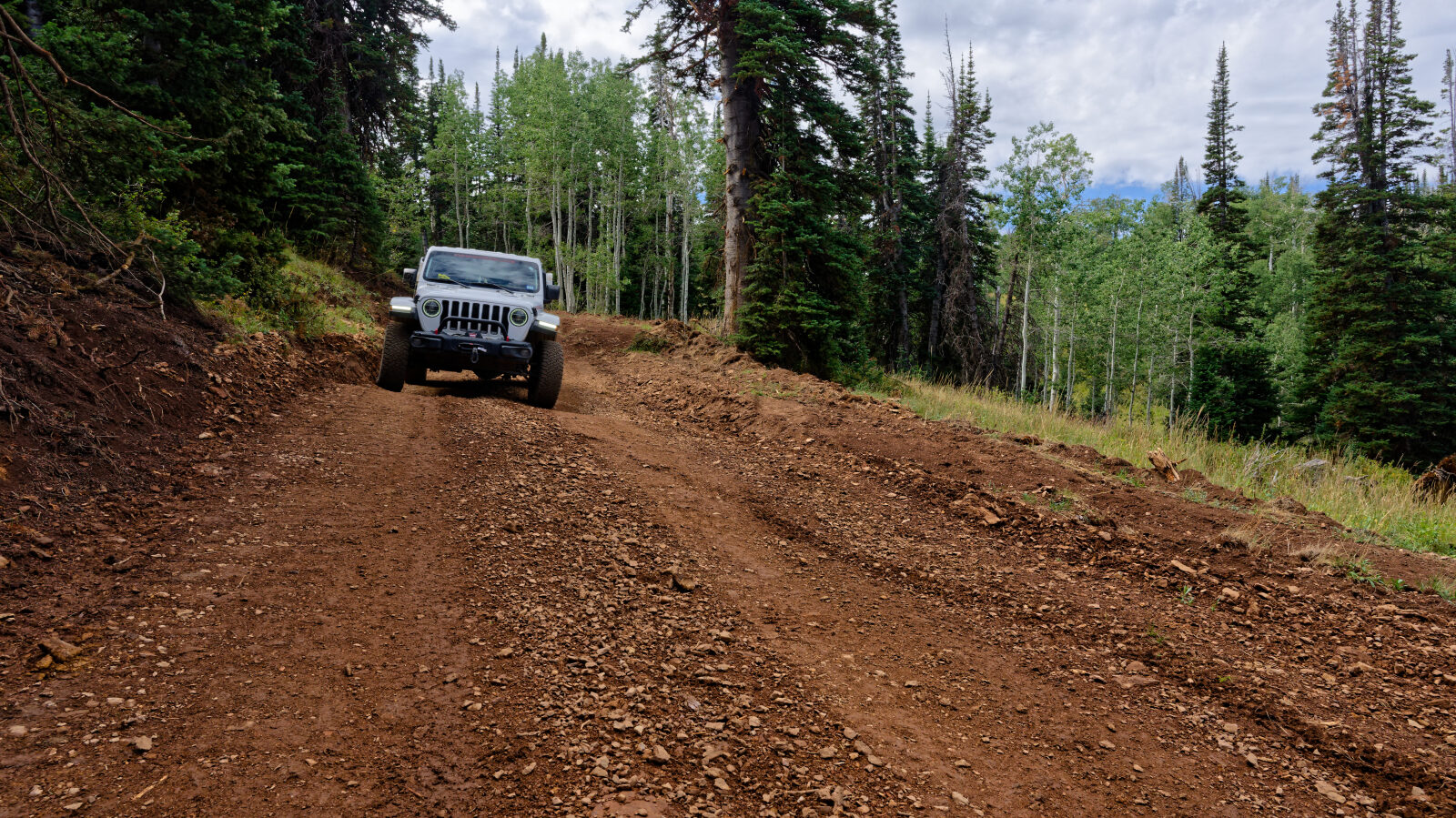
Waypoint 8 (40.00325, -111.11306)
The hardest spot on the route, level one at most. A long trailer might ground out, but the dip is not deep.
Waypoint 9 (40.01664, -111.08613)
Little shelf road that is fairly wide and easy to drive up and down.
Waypoint 10 (40.02158, -111.08216)
The road crosses private property. Respect the rules and stay on the road.
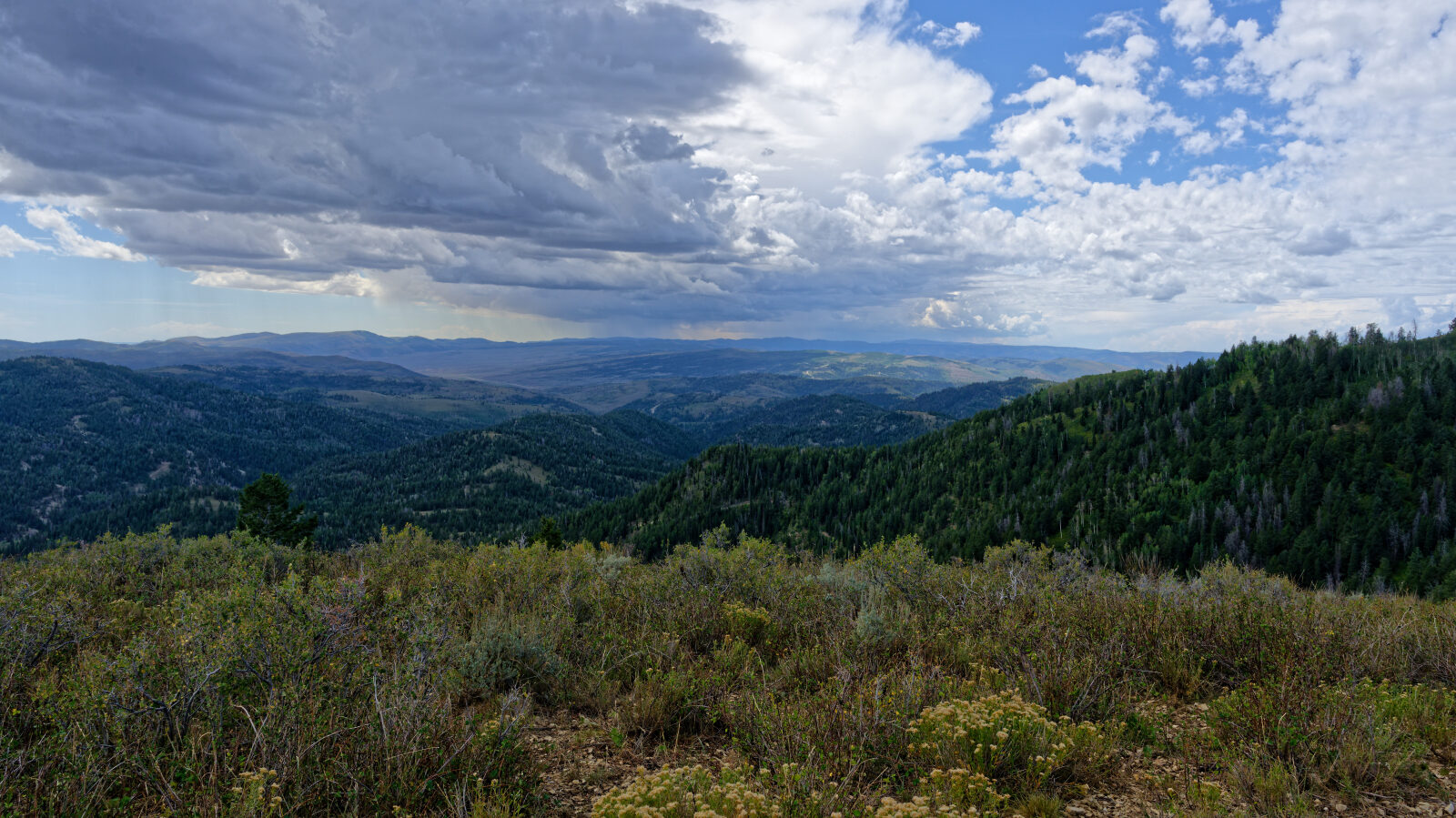
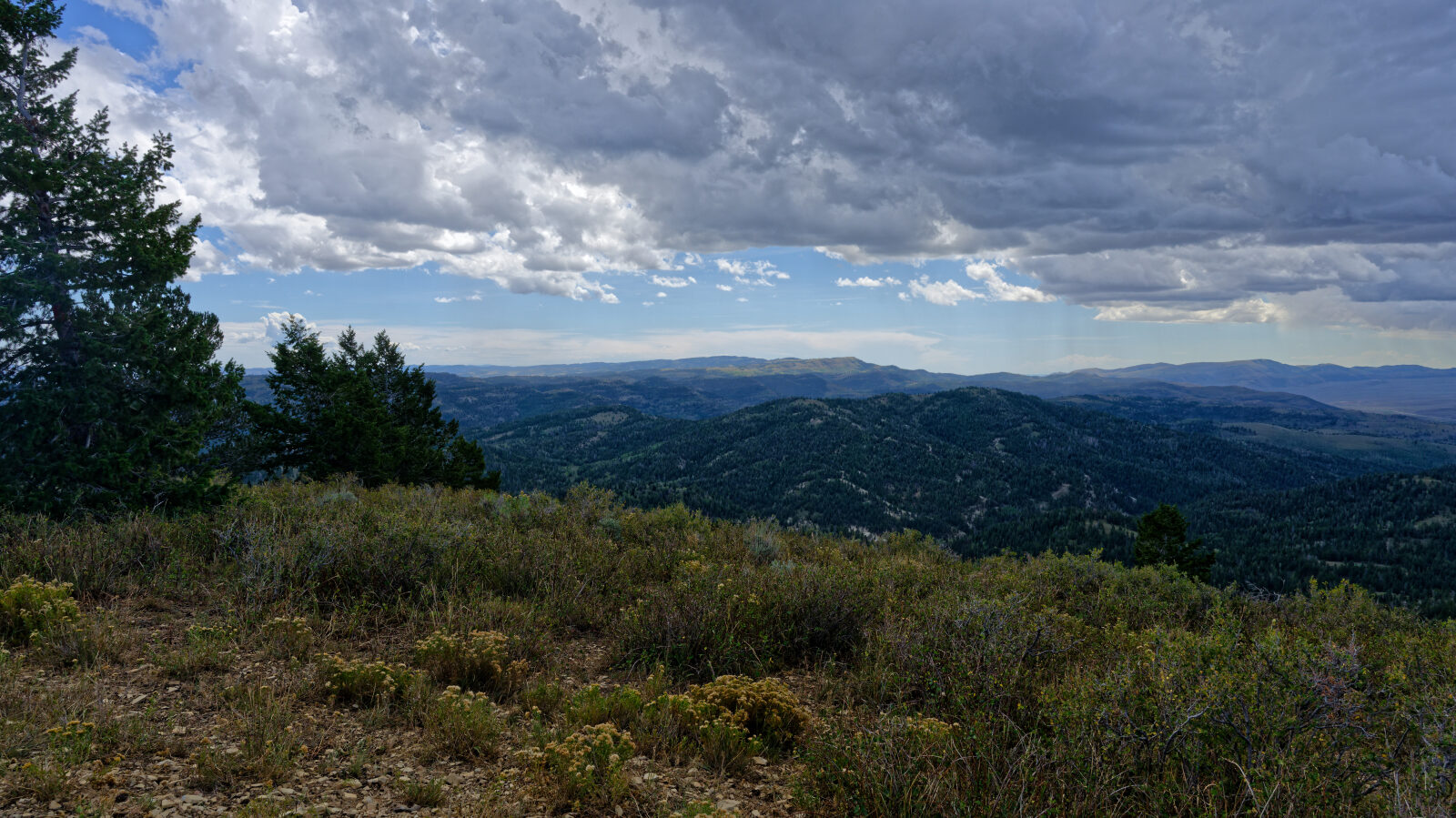
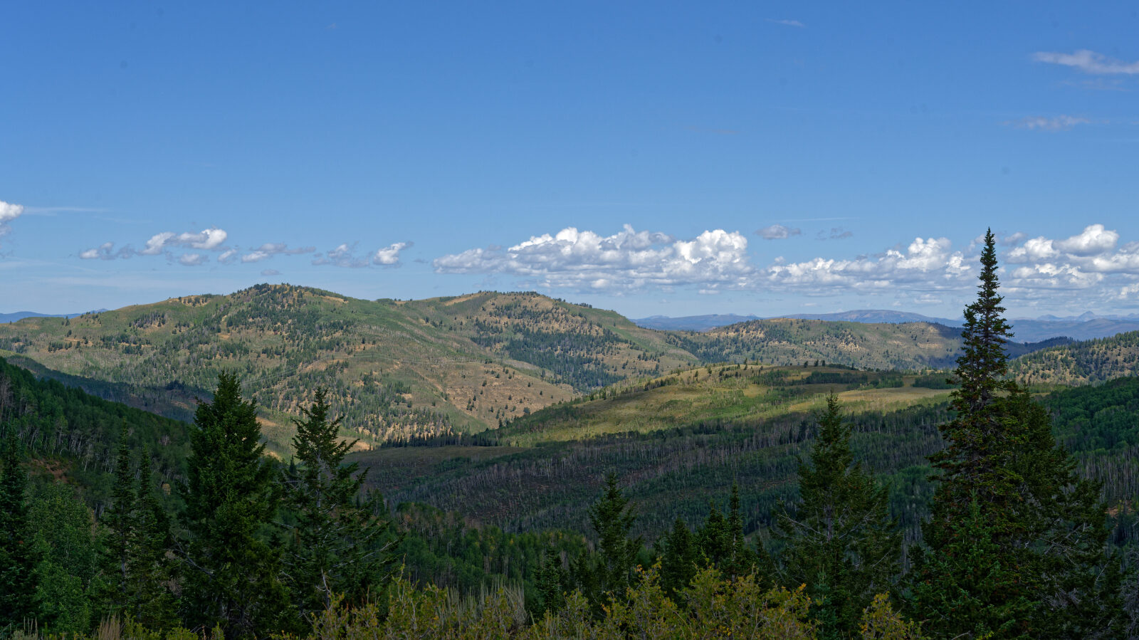
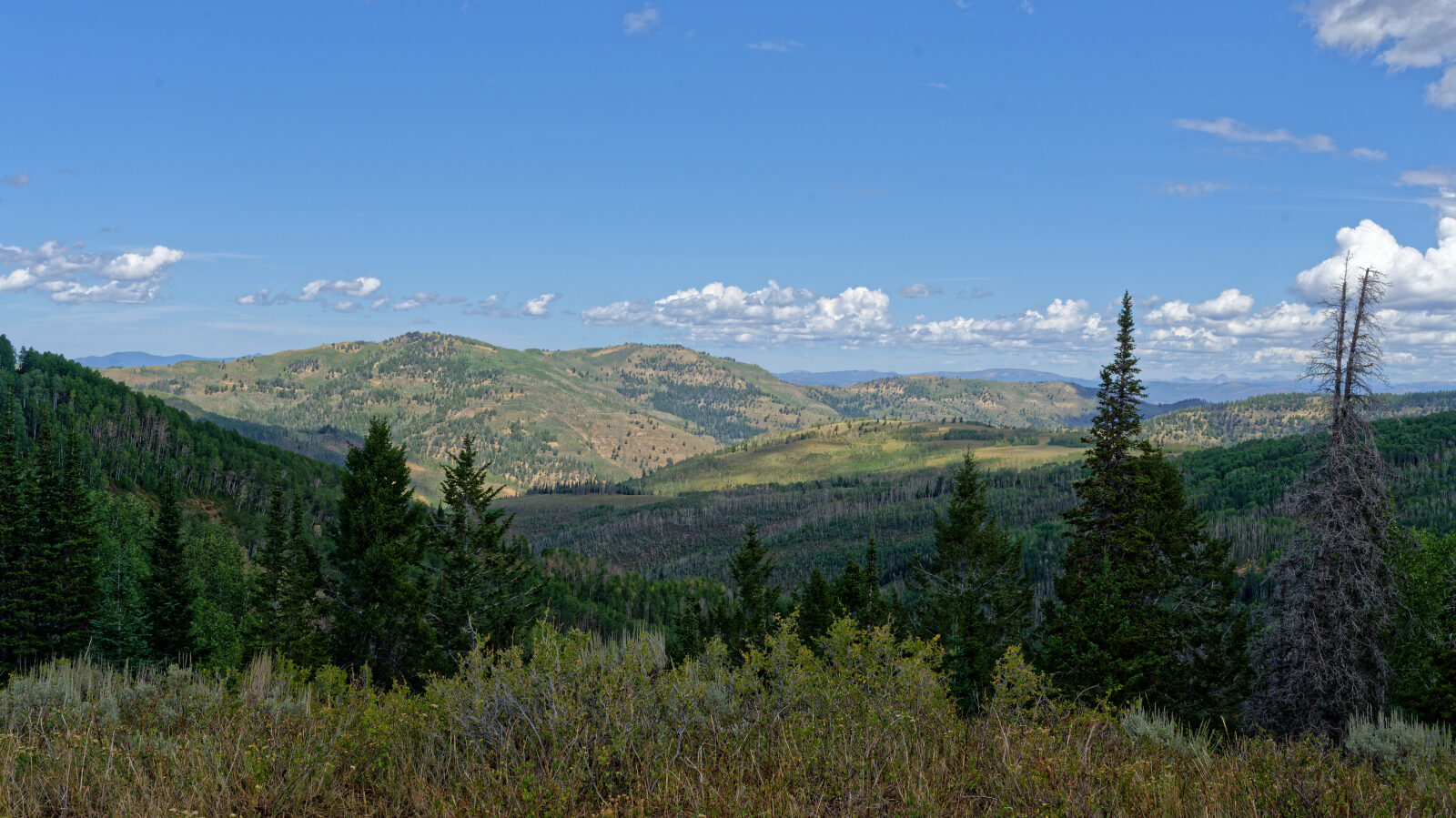
Waypoint 11 (40.02172, -111.07806)
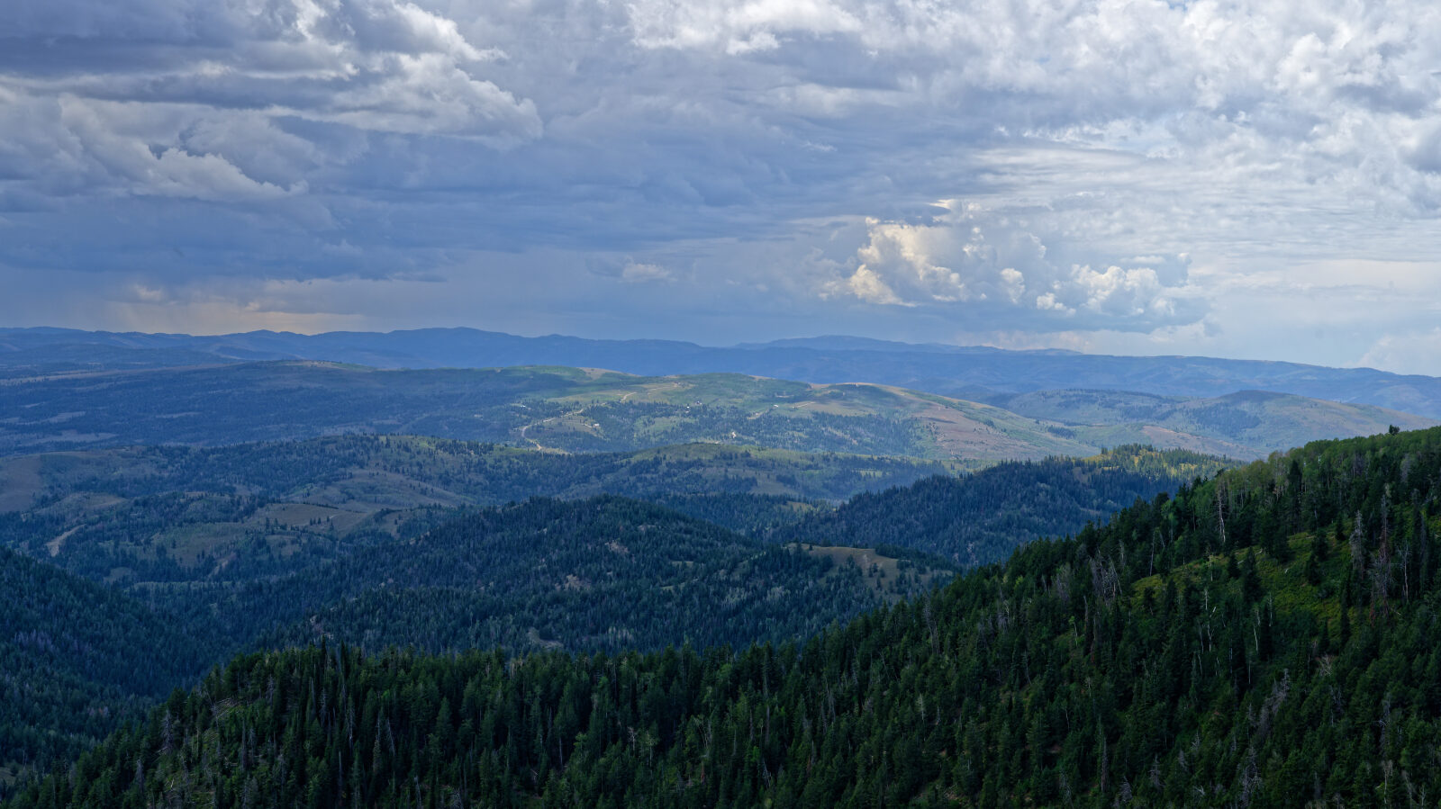
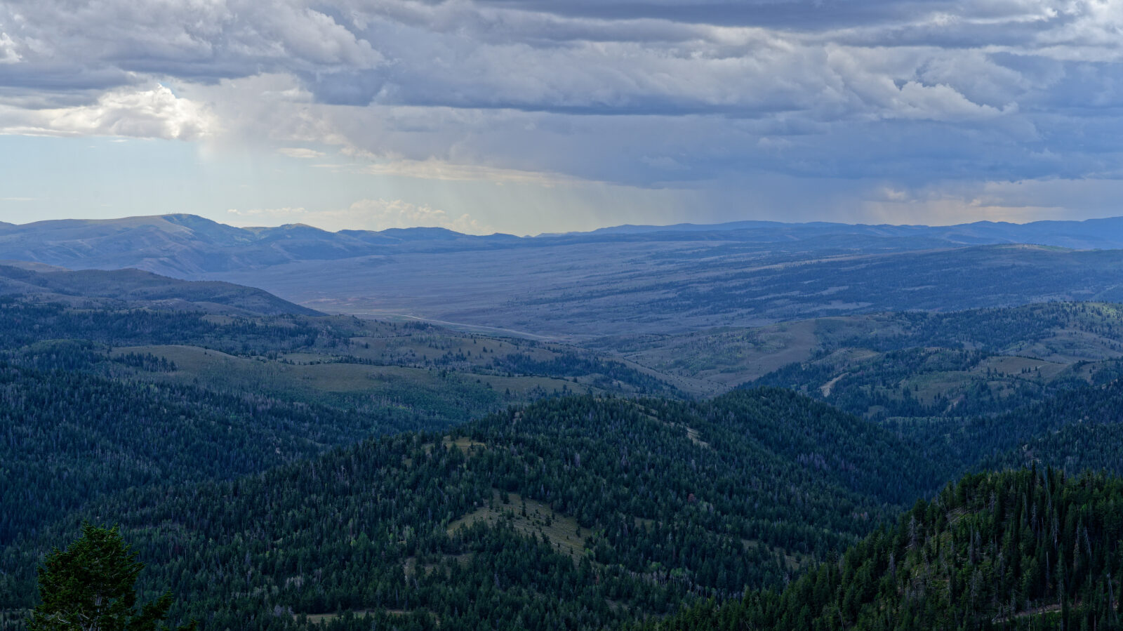
Waypoint 12 (40.02286, -111.07283)
Small camp spot for one small rig with great views and no shade. It sits on a hill but close to the road.
Waypoint 13 (40.04745, -111.02097)
A few camp spots in this area, some shaded and some in the open.
Waypoint 14 (40.04702, -111.01705)
Short, narrow shelf road of about two hundred yards.
Waypoint 15 (40.03971, -111.01151)
The driver went too far down FR147. The route should end earlier, where the road actually ends.