Bowery Creek Yankee - Level 2
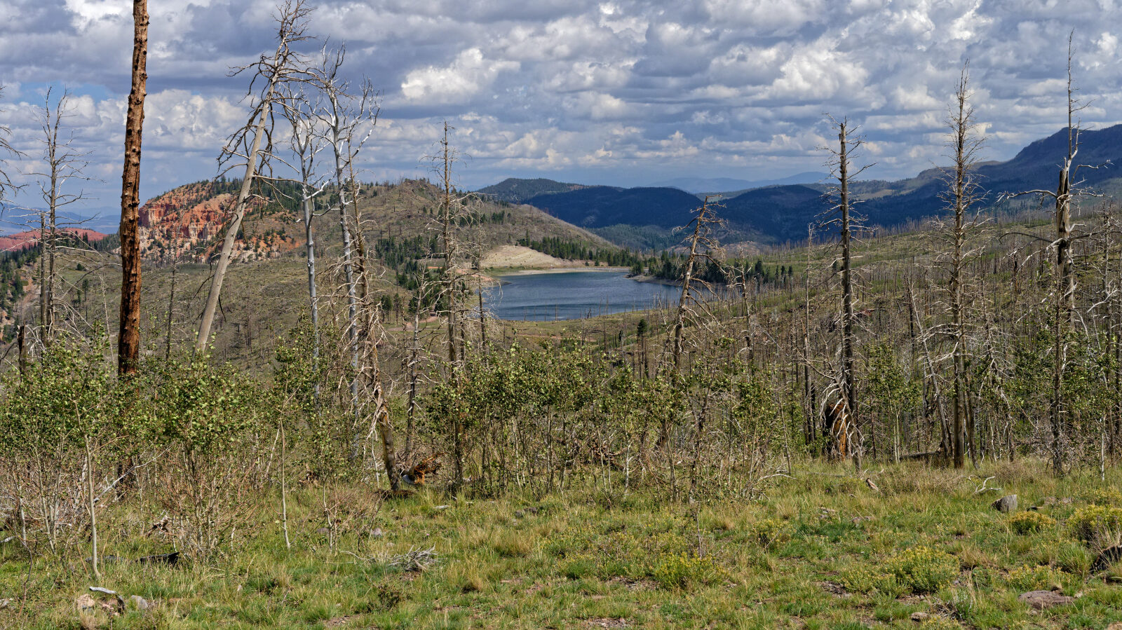
Bowery Creek Yankee is a short backcountry road on the Markagunt Plateau in Iron County, southern Utah. It starts near the Bowery Creek area and climbs through open and wooded country toward Yankee Meadows Reservoir.
The road joins the reservoir road partway along and continues to the end of the reservoir. It suits a casual drive with time to stop and look around.
Trail Summary
- LocationIron County, Utah
- Distance5.1 miles
- DifficultyLevel 2
- Elevation8,145 ft to 8,983 ft with a 838 ft change
- Travel Time2 hours
Difficulty
Typically suitable for high clearance 2WD
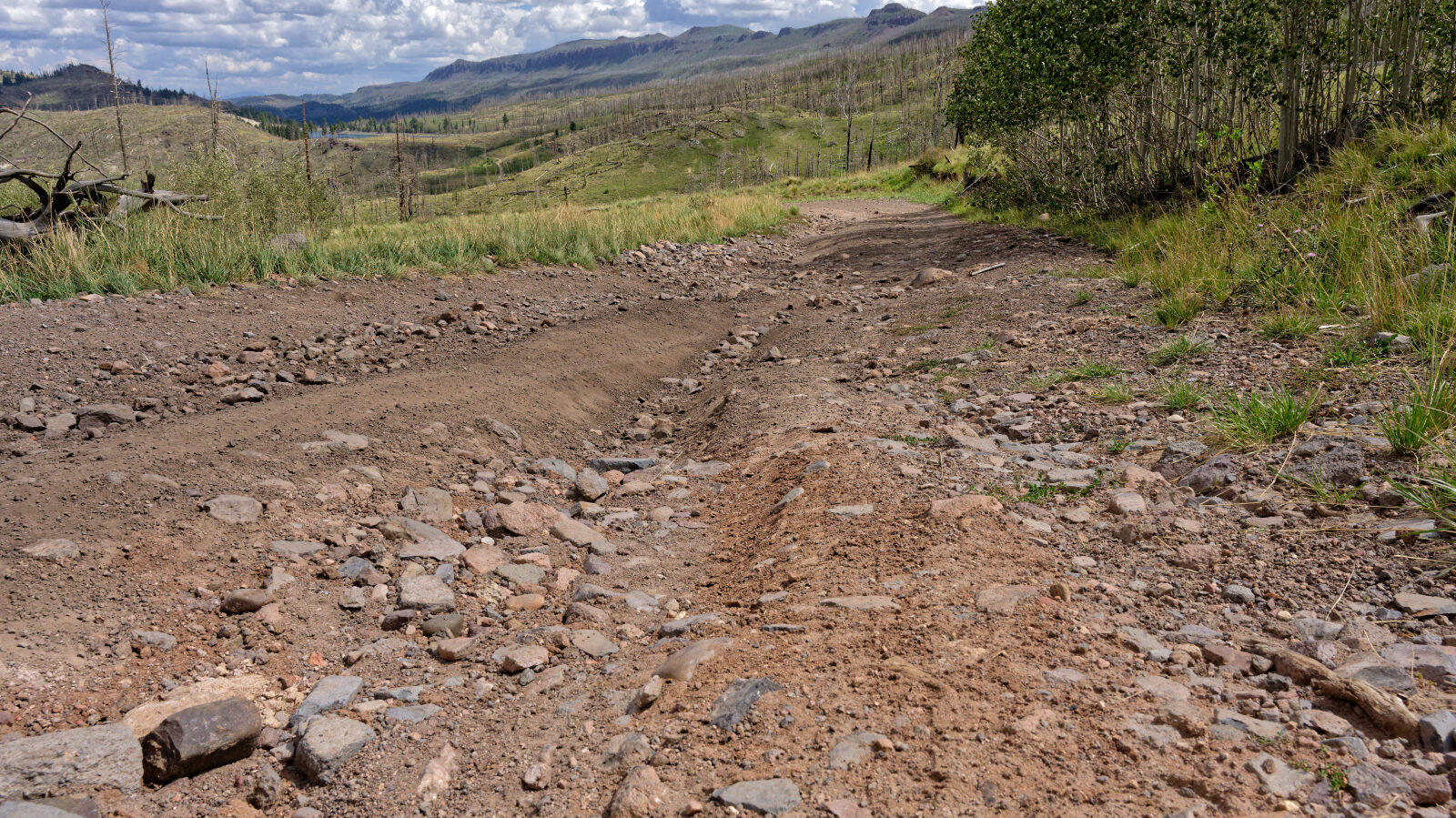
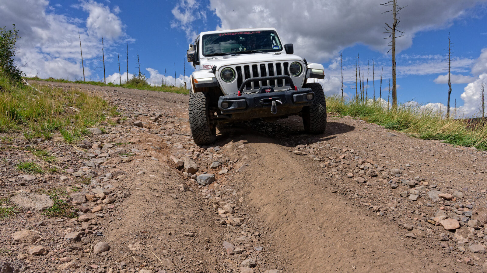
This trail is rated Level 2, which is Easy. It is typically suitable for a high clearance 2WD vehicle, and stock equipment is sufficient. Expect dirt and rocky sections with rocks, dips or ruts under 9 inches, possibly small ledges under 12 inches, and the road may be unmaintained after rain or snow. The log marks two harder spots at Level 2, one at the start (waypoint 1) and one a little farther along (waypoint 4). After the road joins Yankee Meadows Reservoir Road at waypoint 5, the driver found it very simple and easy, closer to Level 0 or 1, though the trail keeps its Level 2 rating.
Highlights
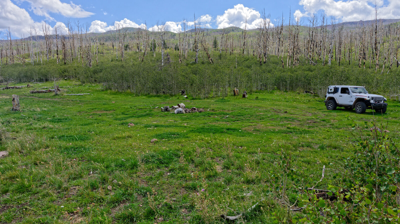
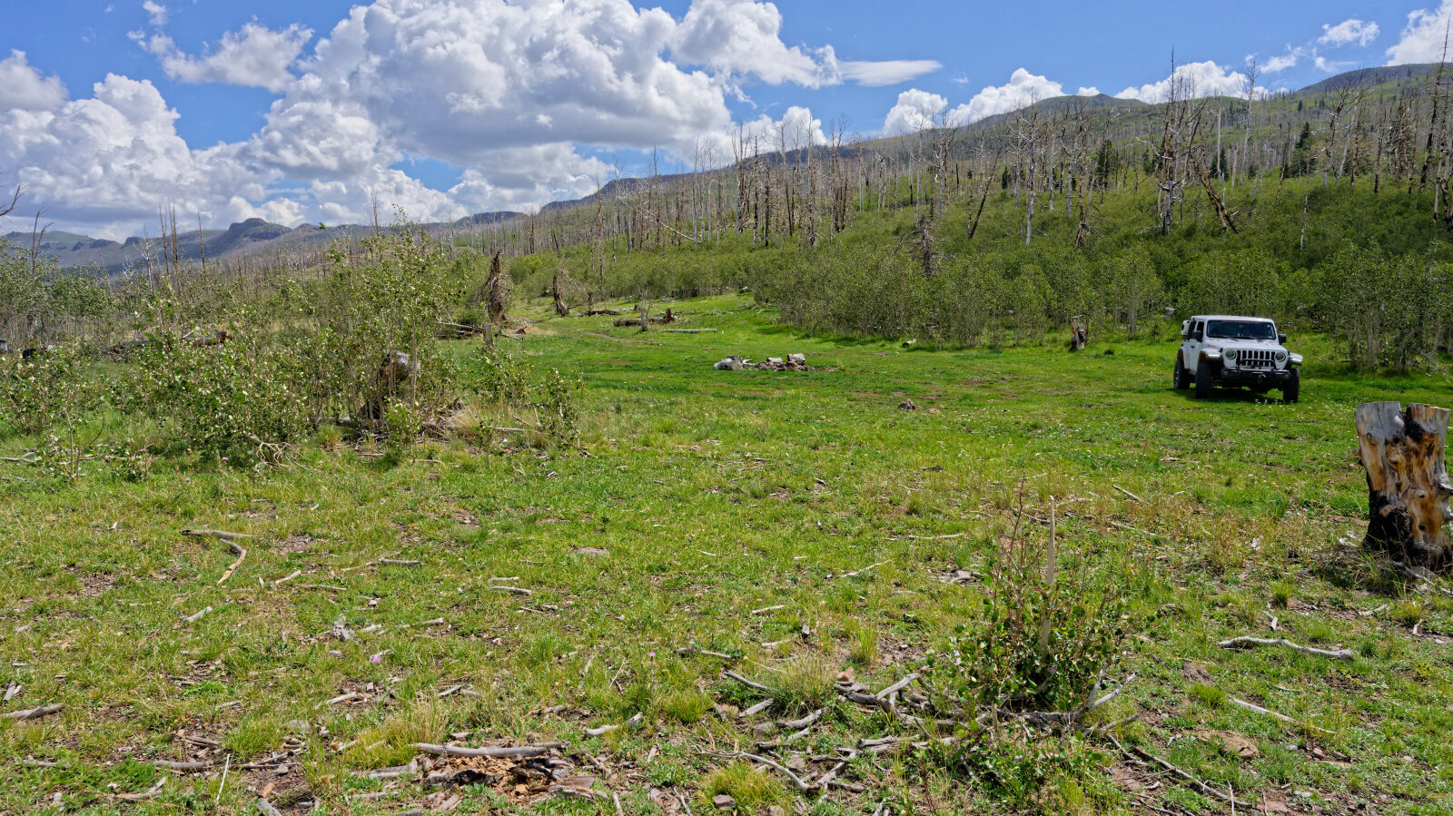
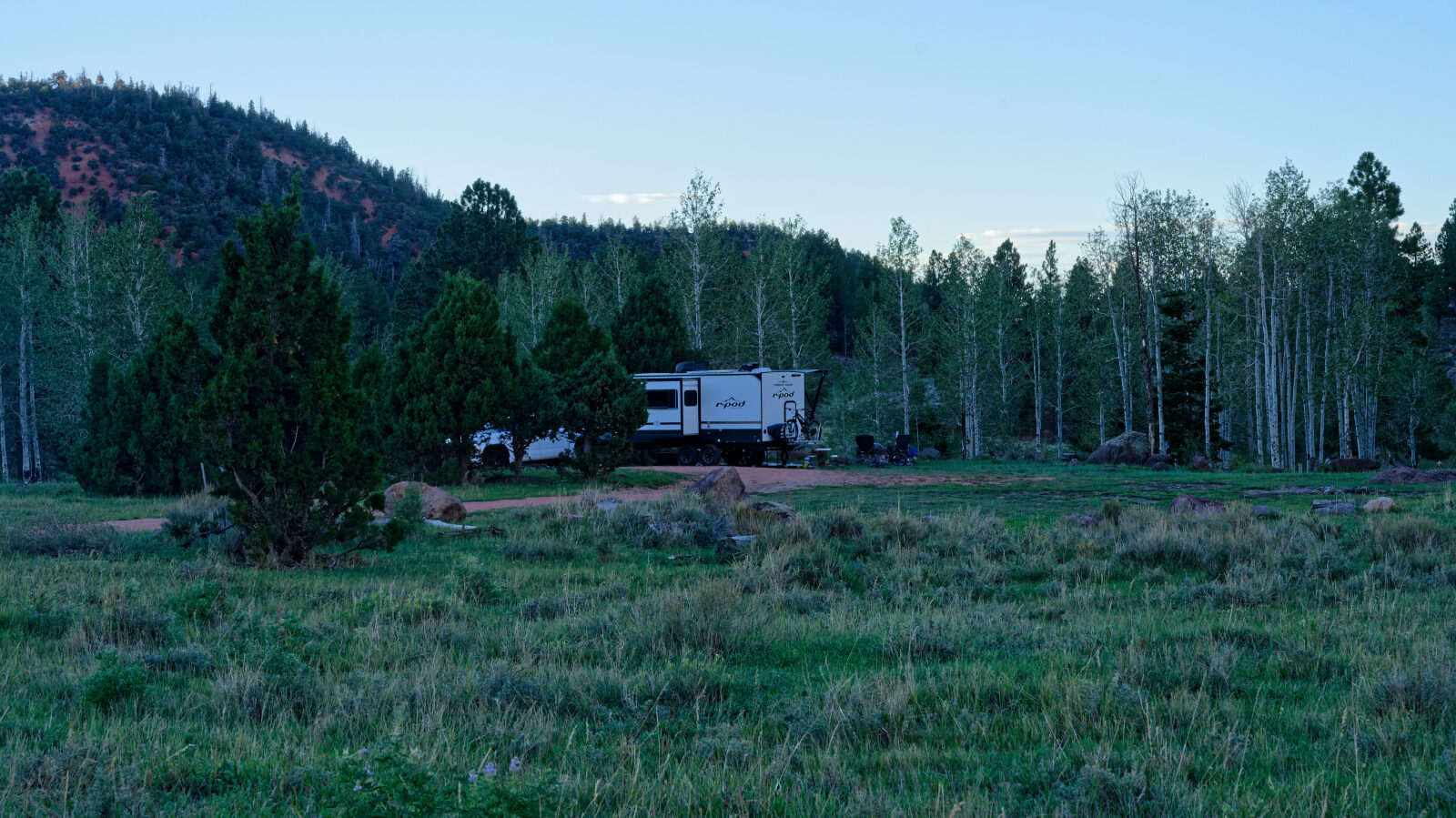
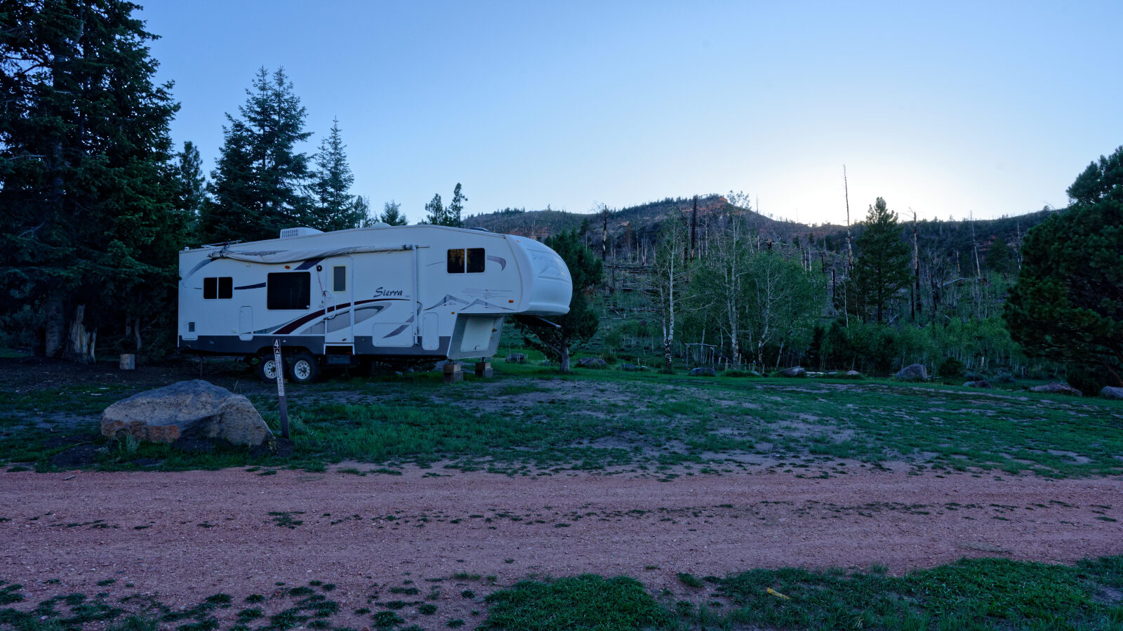
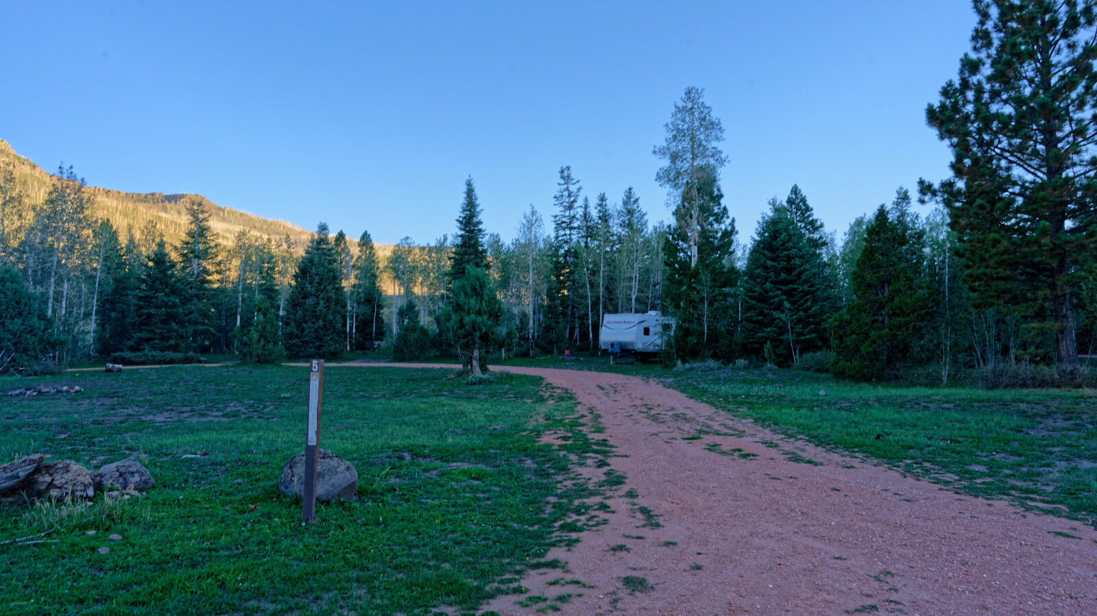
There is a camp spot near the start at waypoint 3. It is not shaded and is slightly private. It should hold two or three smaller rigs, but it is unknown whether a large trailer would fit because that road has not been driven yet. The trail ends at the far end of Yankee Meadows Reservoir.
Map
The interactive map needs JavaScript. Every waypoint is also listed below.
Waypoints
Waypoint 1 (37.73478, -112.78505)
Start of road 30049, Yankee Road. This is a harder spot, Level 2.
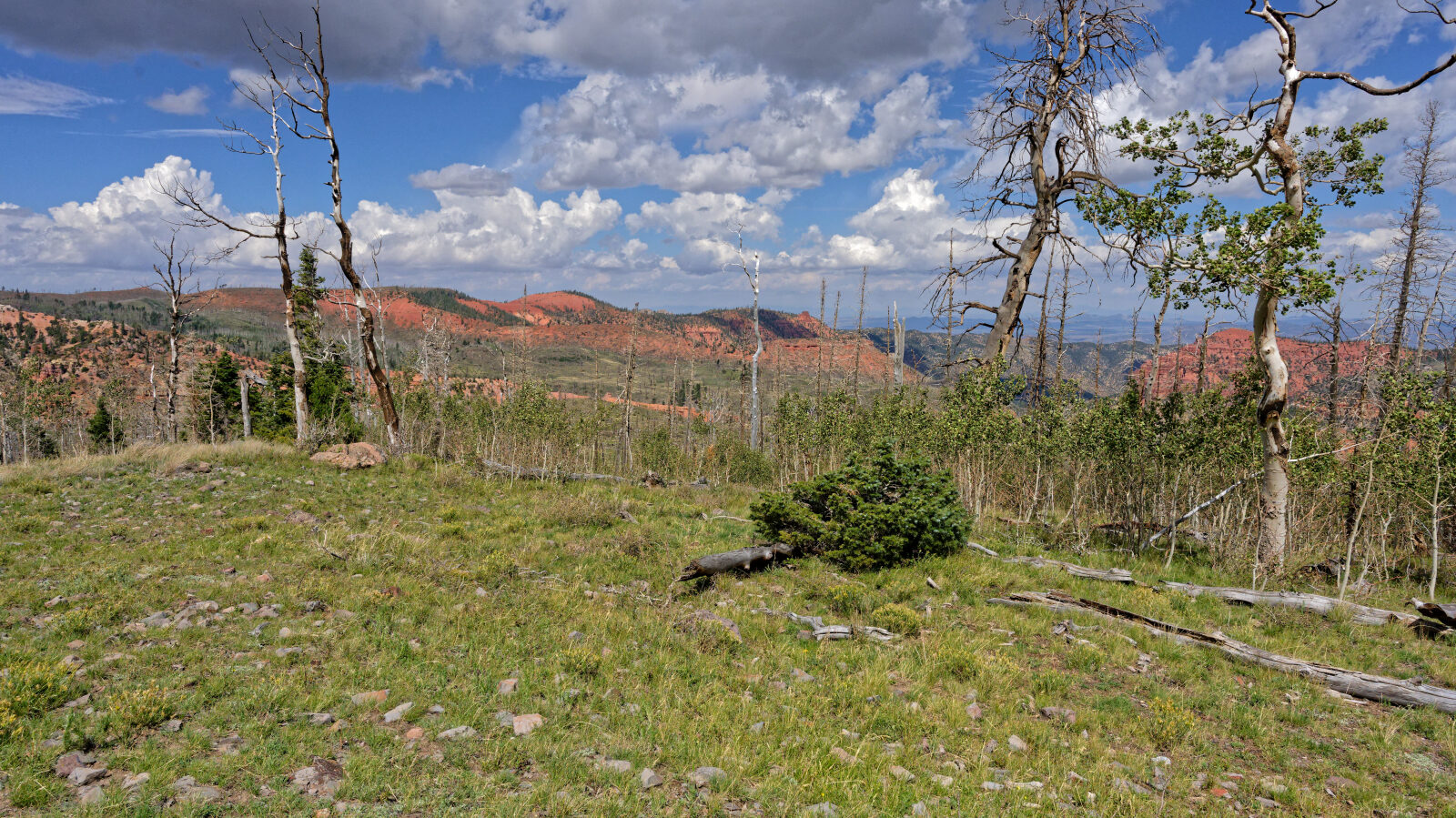
Waypoint 2 (37.73652, -112.78247)
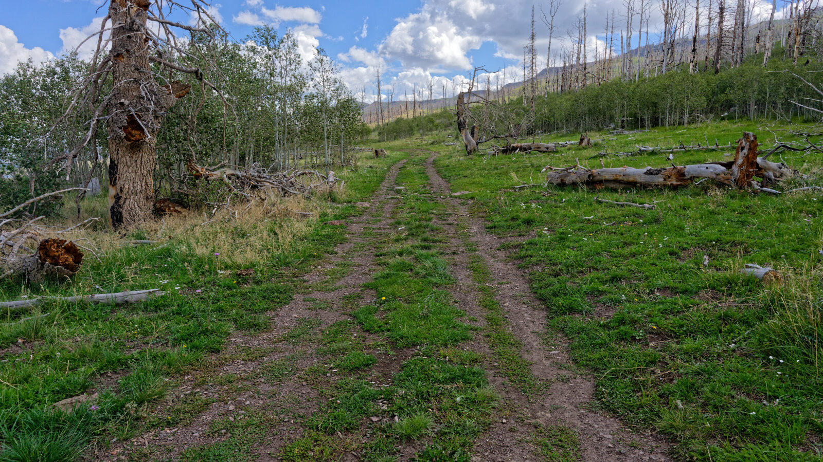
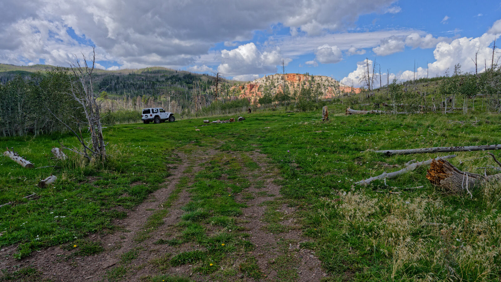
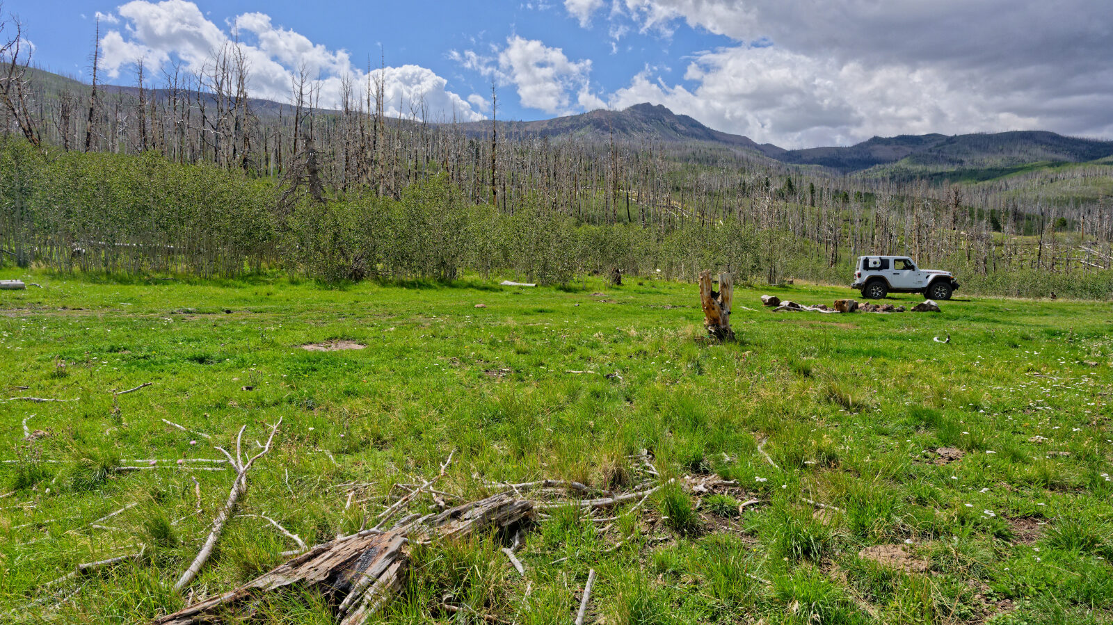
Waypoint 3 (37.73741, -112.78681)
Camping spot that holds two or three smaller rigs. Not shaded and slightly private. Unknown whether a big trailer will fit.
Waypoint 4 (37.73835, -112.78622)
A harder part of the road, Level 2.
Waypoint 5 (37.74918, -112.77696)
The road joins Yankee Meadows Reservoir Road. It is still the same road and is very easy, probably Level 0 or 1.
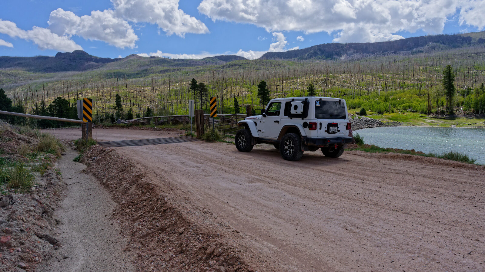
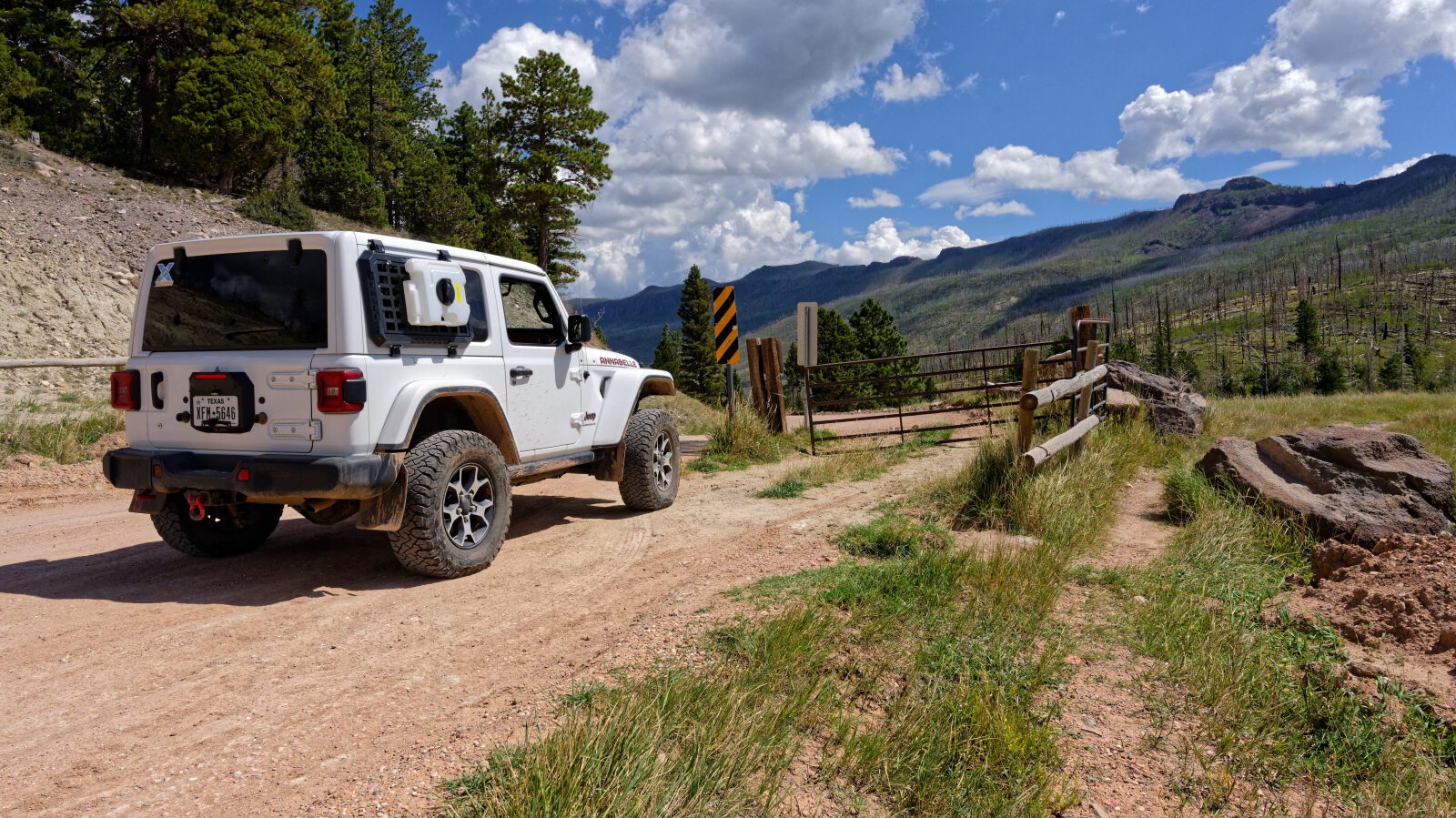
Waypoint 6 (37.75453, -112.77256)
The road ends at the end of Yankee Meadows Reservoir.
Waypoint 7 (37.76683, -112.75782)
Waypoint 8 (37.76955, -112.75297)