Mahogany Hill - Level 3
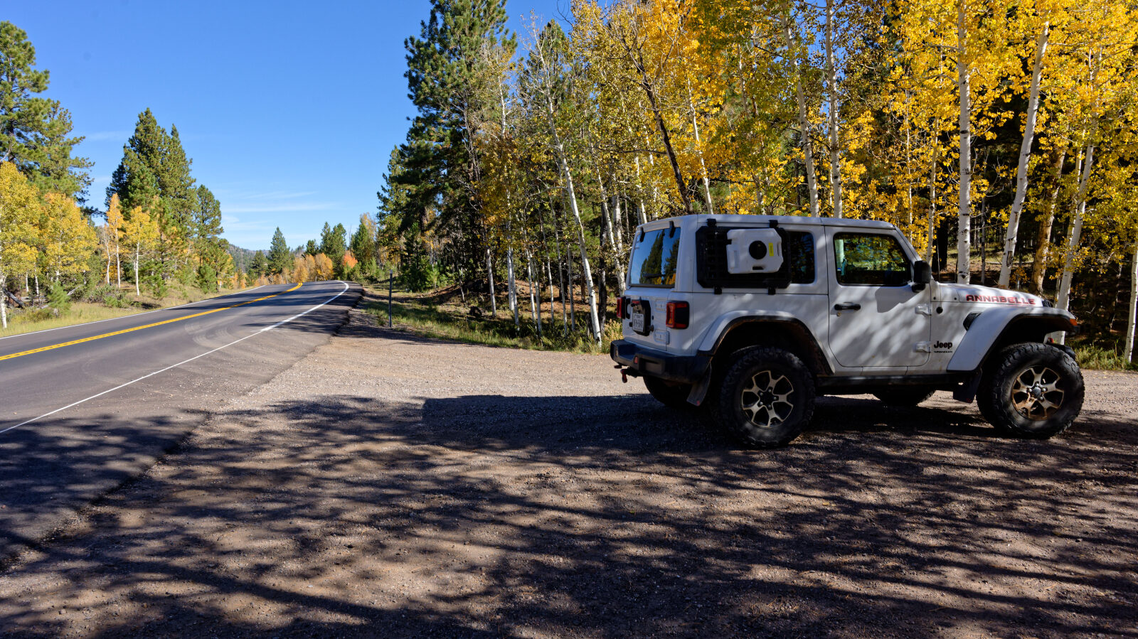
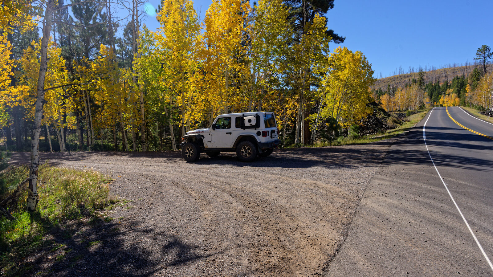
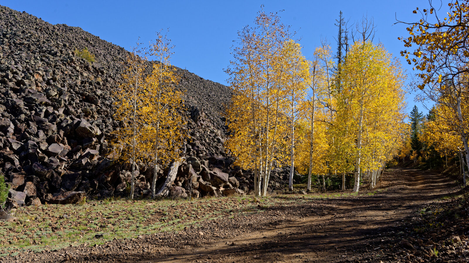
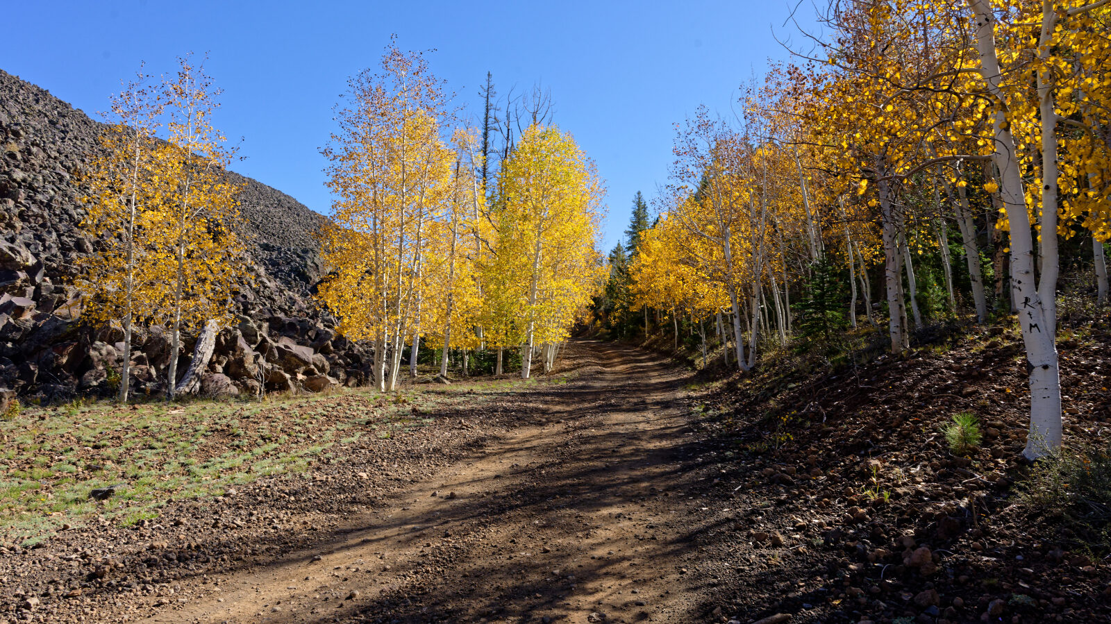
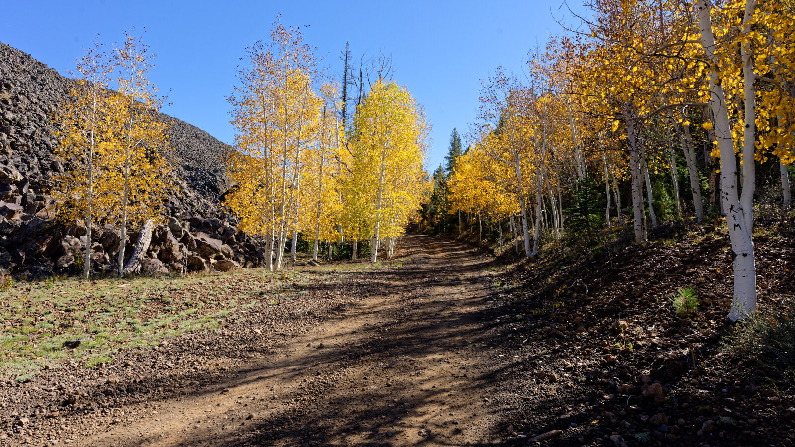
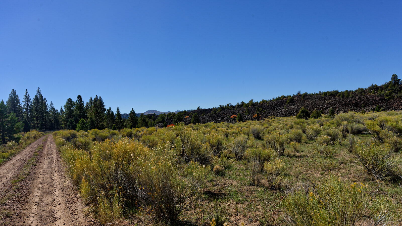
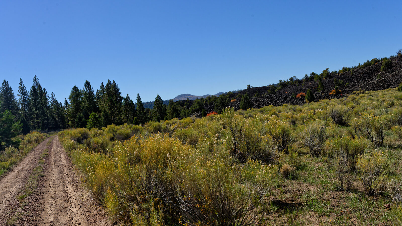
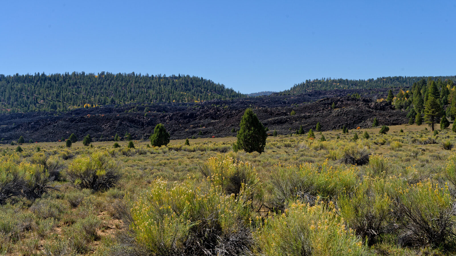
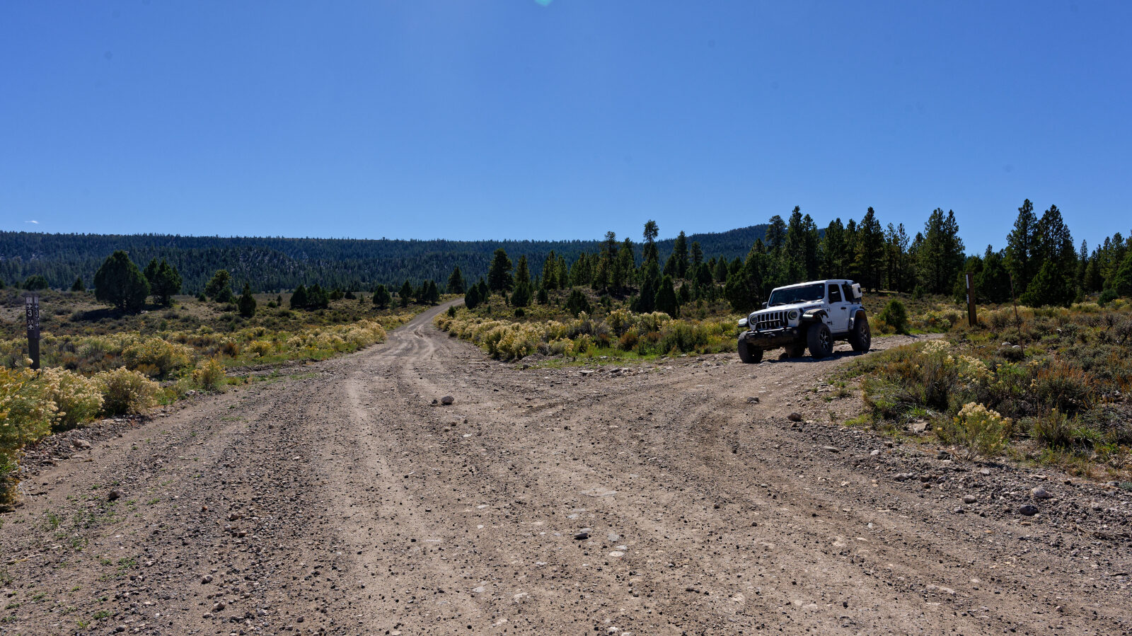
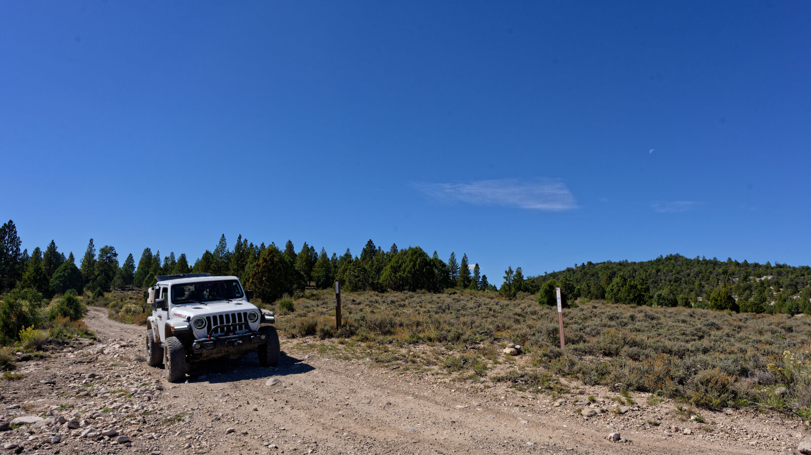
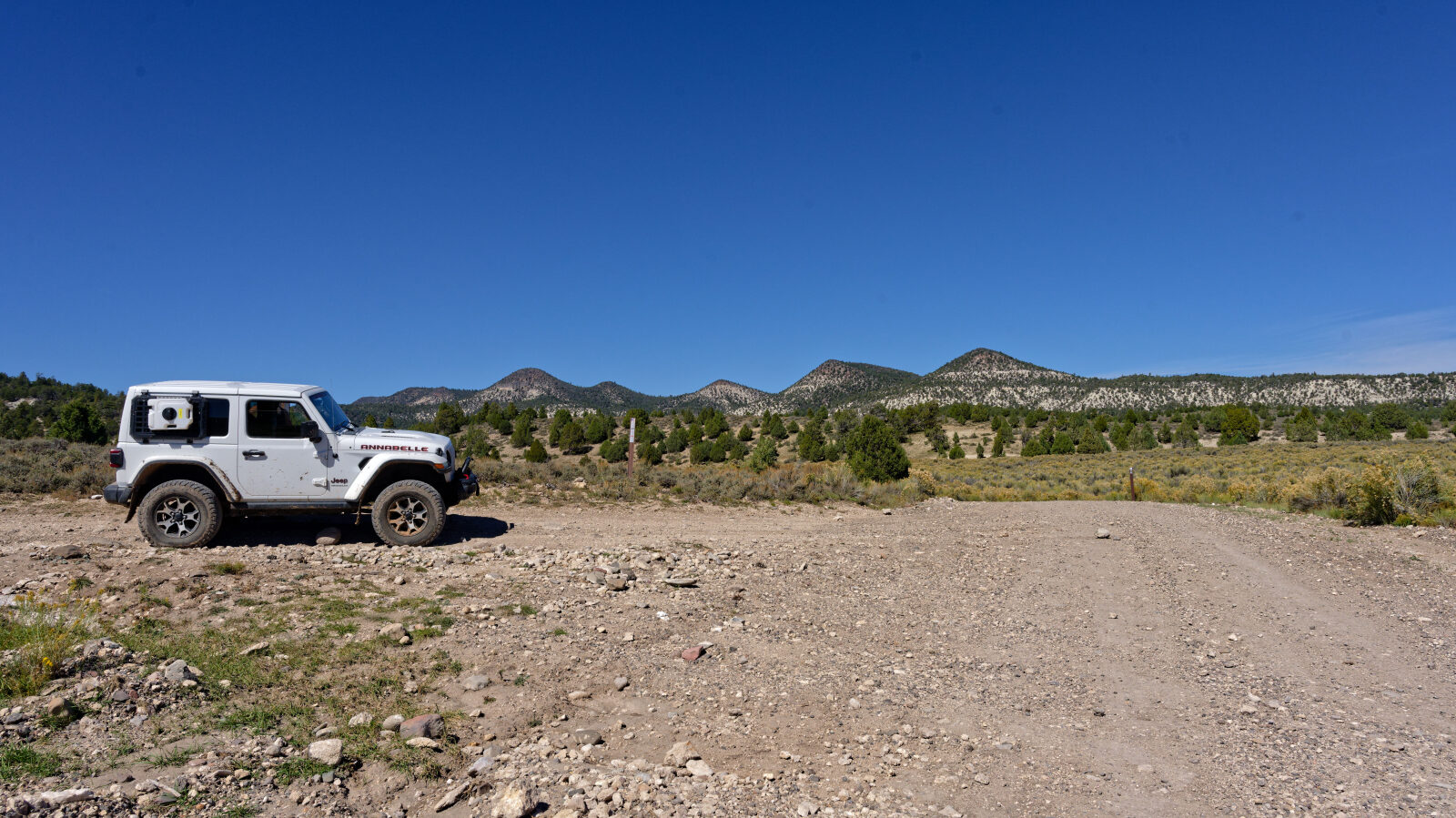
Mahogany Hill Road, Forest Service road 30069, runs east through forested country on the Dixie National Forest in southern Utah. It starts near an informational board and follows the hills past several tree-covered camp spots and a stretch between two lava rock hills.
The road crosses a few short sections of private land before it finishes near more private property. Stay on the road through those parts.
Trail Summary
- LocationGarfield County, Utah
- Distance14.0 miles
- DifficultyLevel 3
- Elevation7,627 ft to 8,717 ft with a 1,090 ft change
- Travel Time2 hours 28 minutes
Difficulty
Best suited for a high clearance 4x4
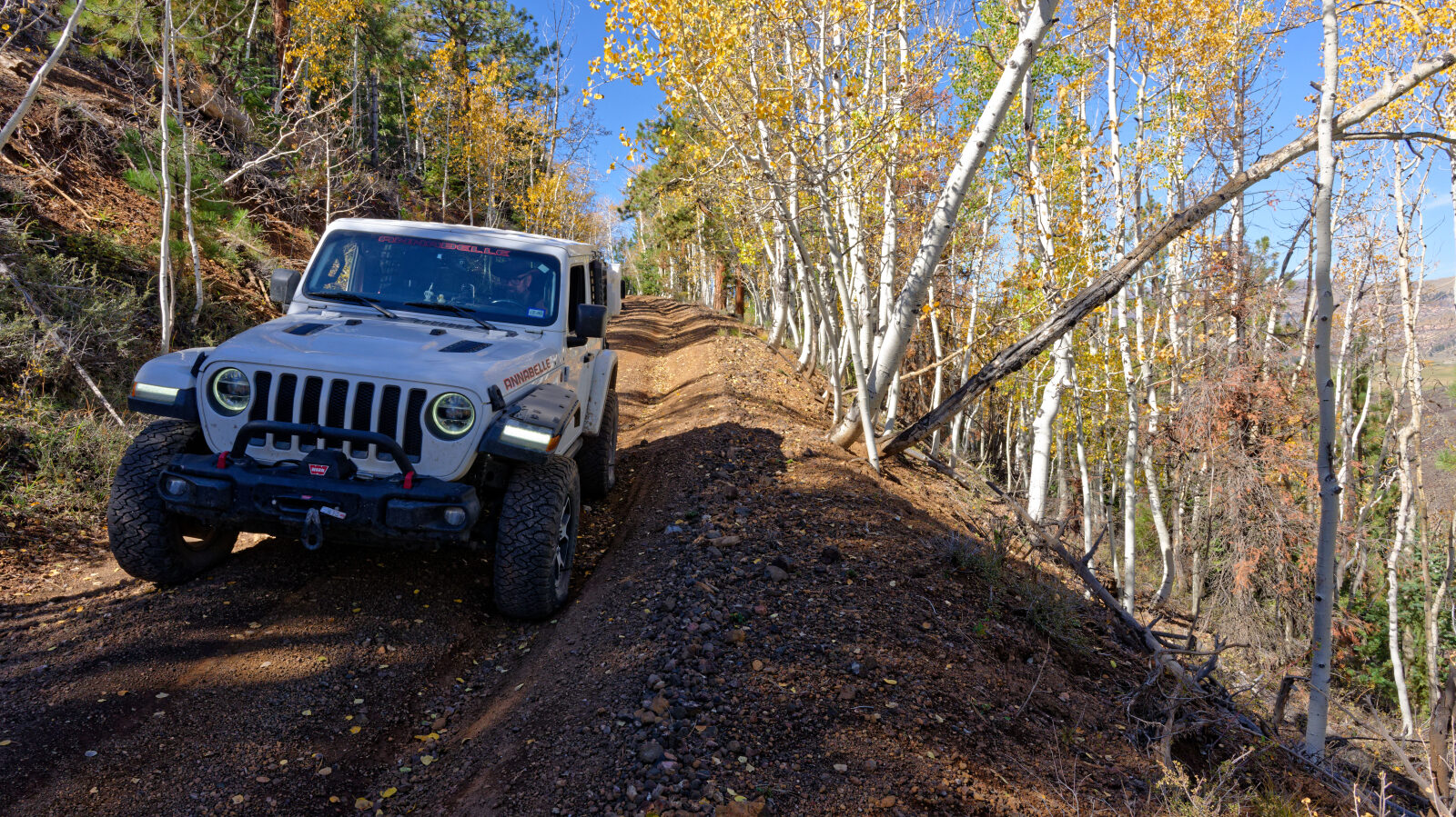
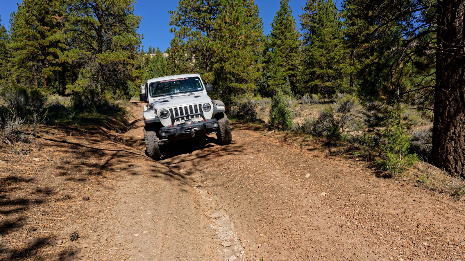
Moderate (Level 3) suits a stock high clearance 4x4 with off-road tires. Expect uneven, rutted dirt with loose rock and possible sandy washes. Obstacles stay under 12 inches, such as ledges, short steep grades and shallow water. The road is usually one vehicle wide with places to pass. On this trail the log marks a couple of Level 2 hard spots early on, and the rest of the road is Level 2. Only the deep ruts of about 11 inches that cannot be avoided are Level 3. Tire placement matters there. A short shelf road is one Jeep wide and just narrow, so take it slowly.
Terrain
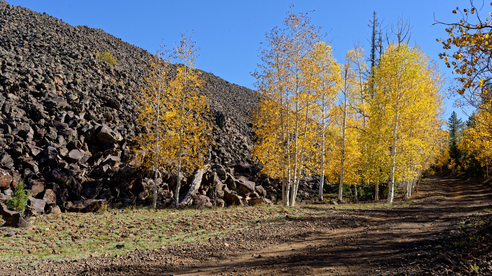
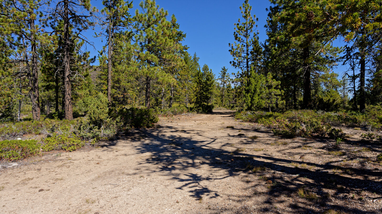
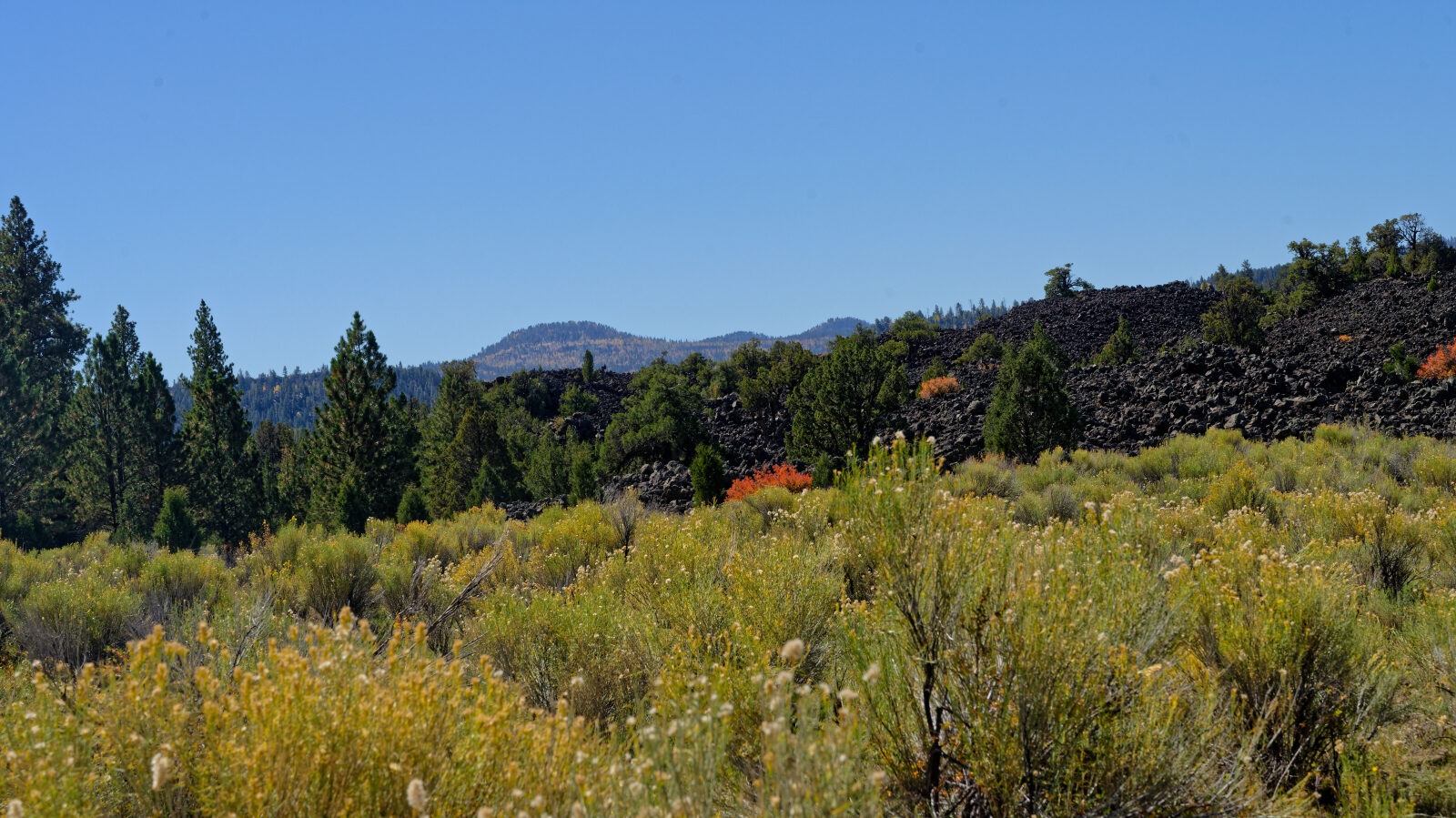
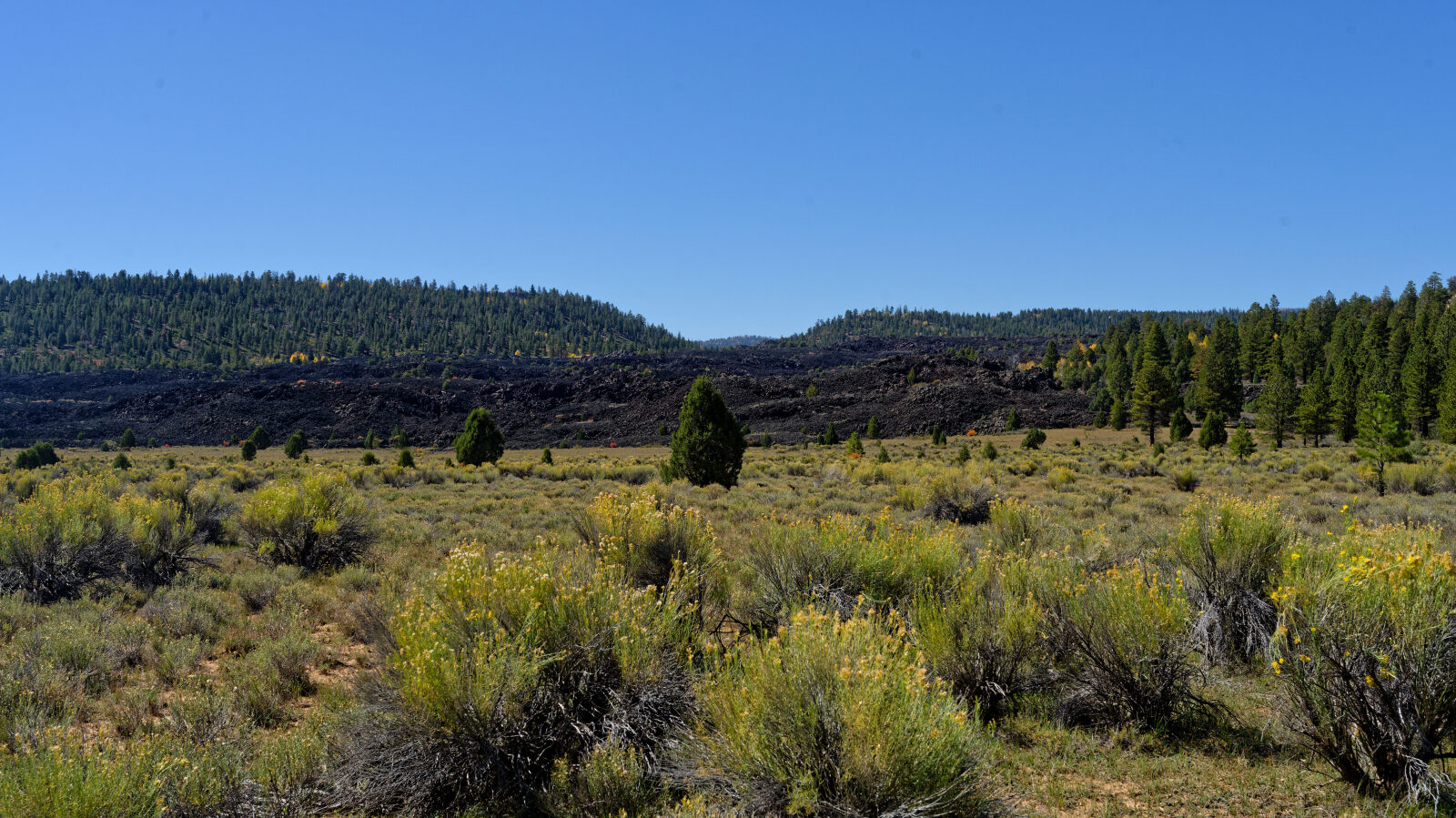
The road passes through shaded trees and over lava rock. It runs between two lava rock hills partway along. Most of the surface is dirt with ruts in places. A short shelf section narrows to about one vehicle wide.
Highlights
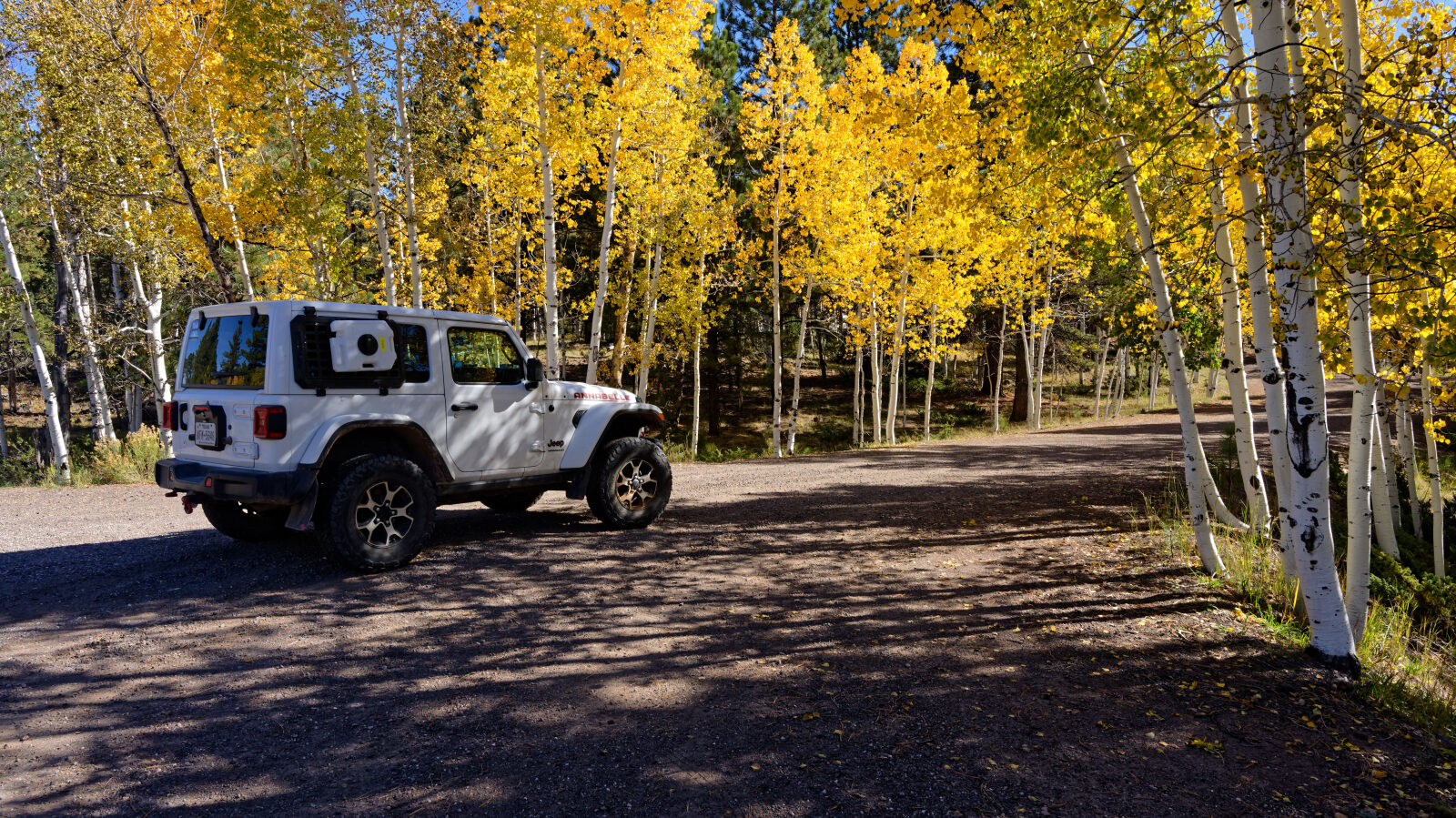
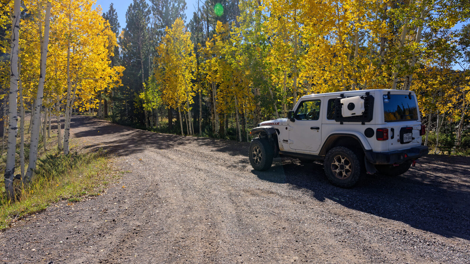
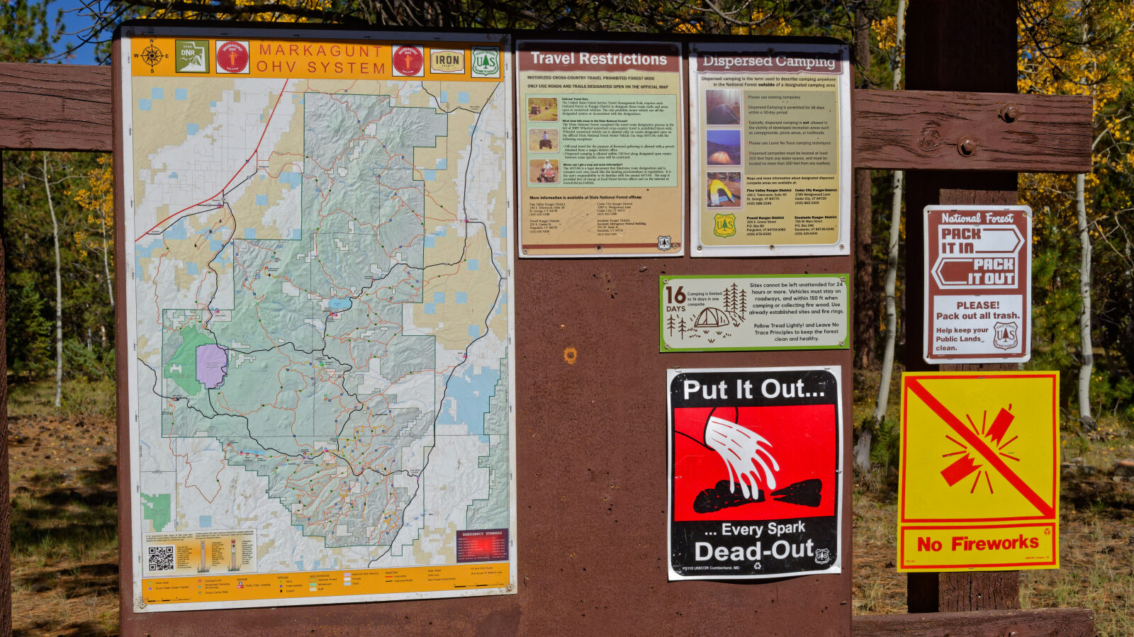
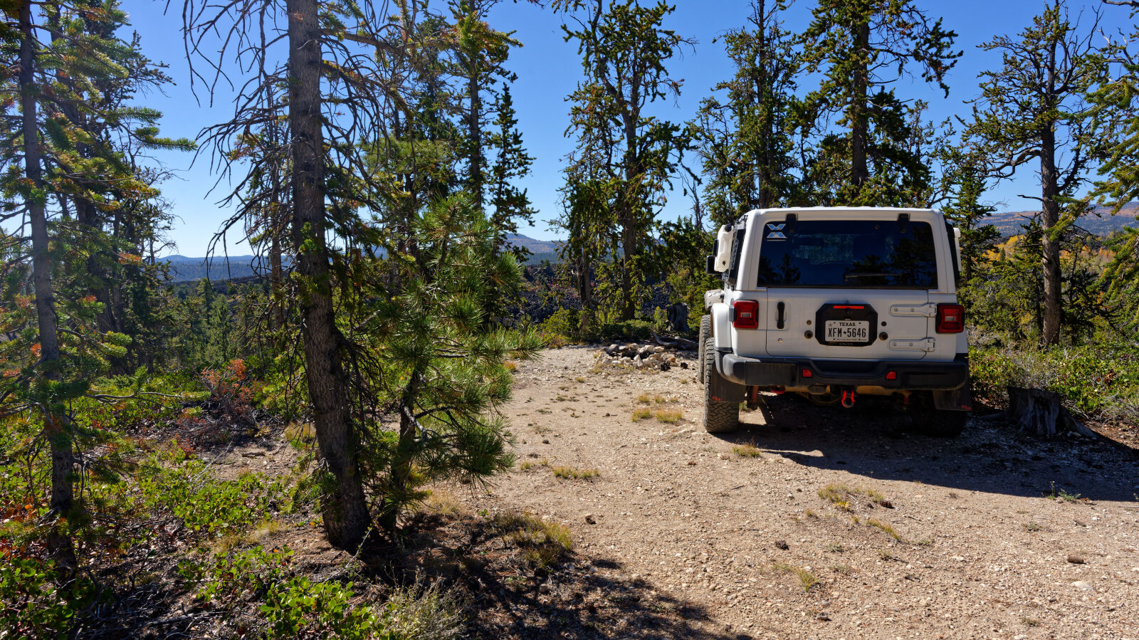
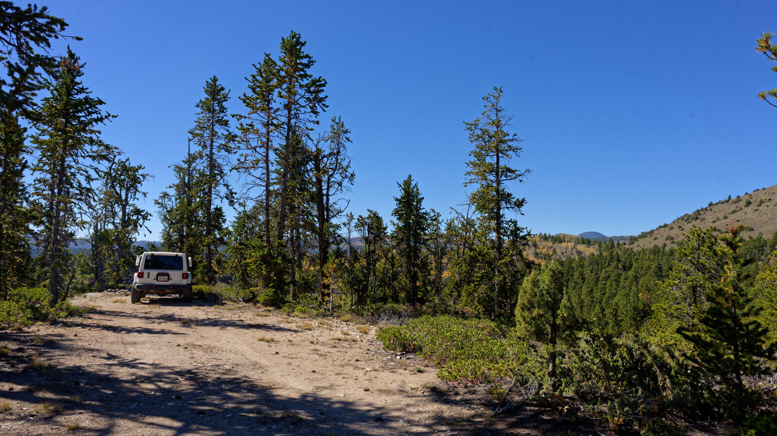
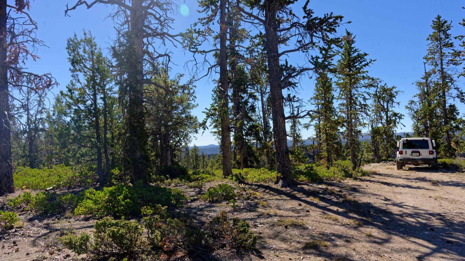
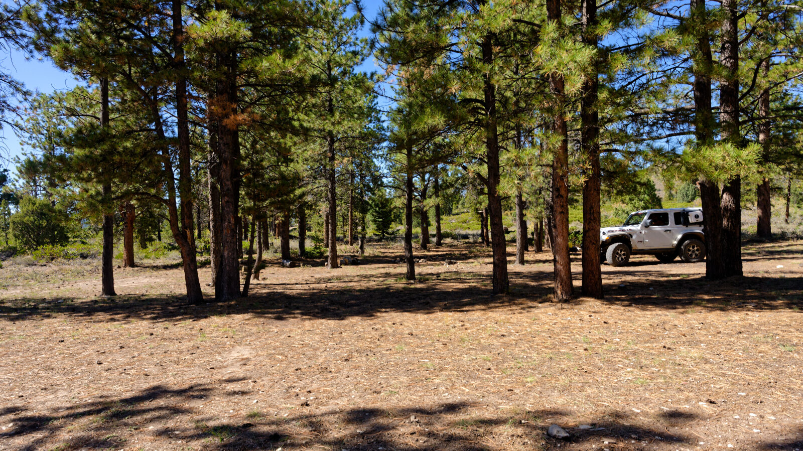
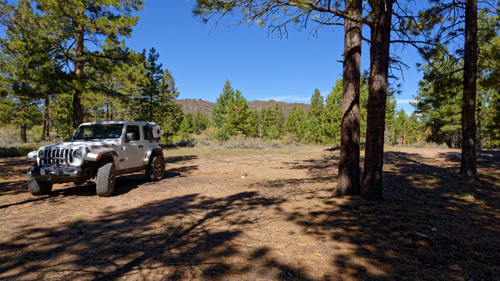
Several camp spots sit in the trees along the route. The first, near the start, fits at least three rigs and has shade. Others farther east are smaller, and one only fits a single rig. The road has a 16-day stay limit for camping, posted on the informational board near the start.
Map
The interactive map needs JavaScript. Every waypoint is also listed below.
Waypoints
Waypoint 1 (37.67184, -112.66719)
Start of Mahogany Hill Road #30069.
Waypoint 2 (37.67229, -112.66550)
Informational board. The road has a 16-day stay limit for camping.
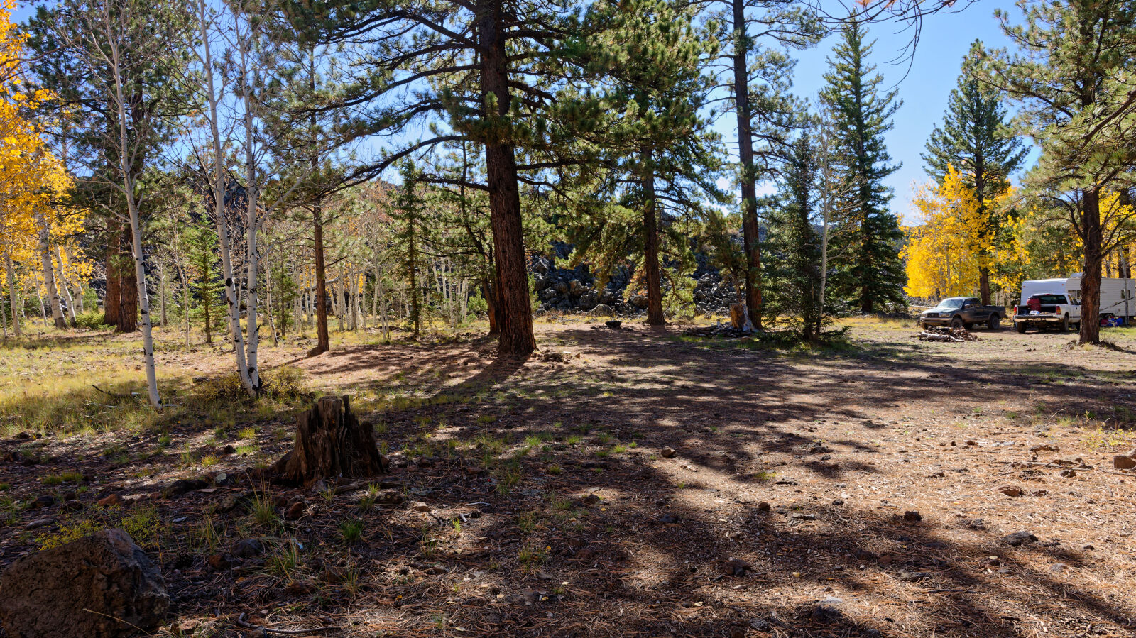
Waypoint 3 (37.67281, -112.66466)
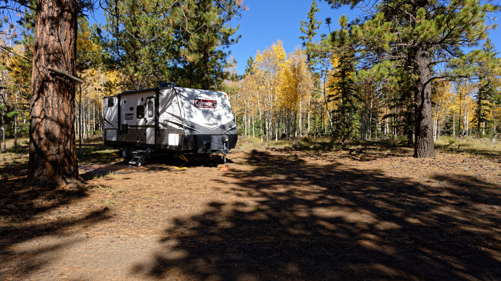
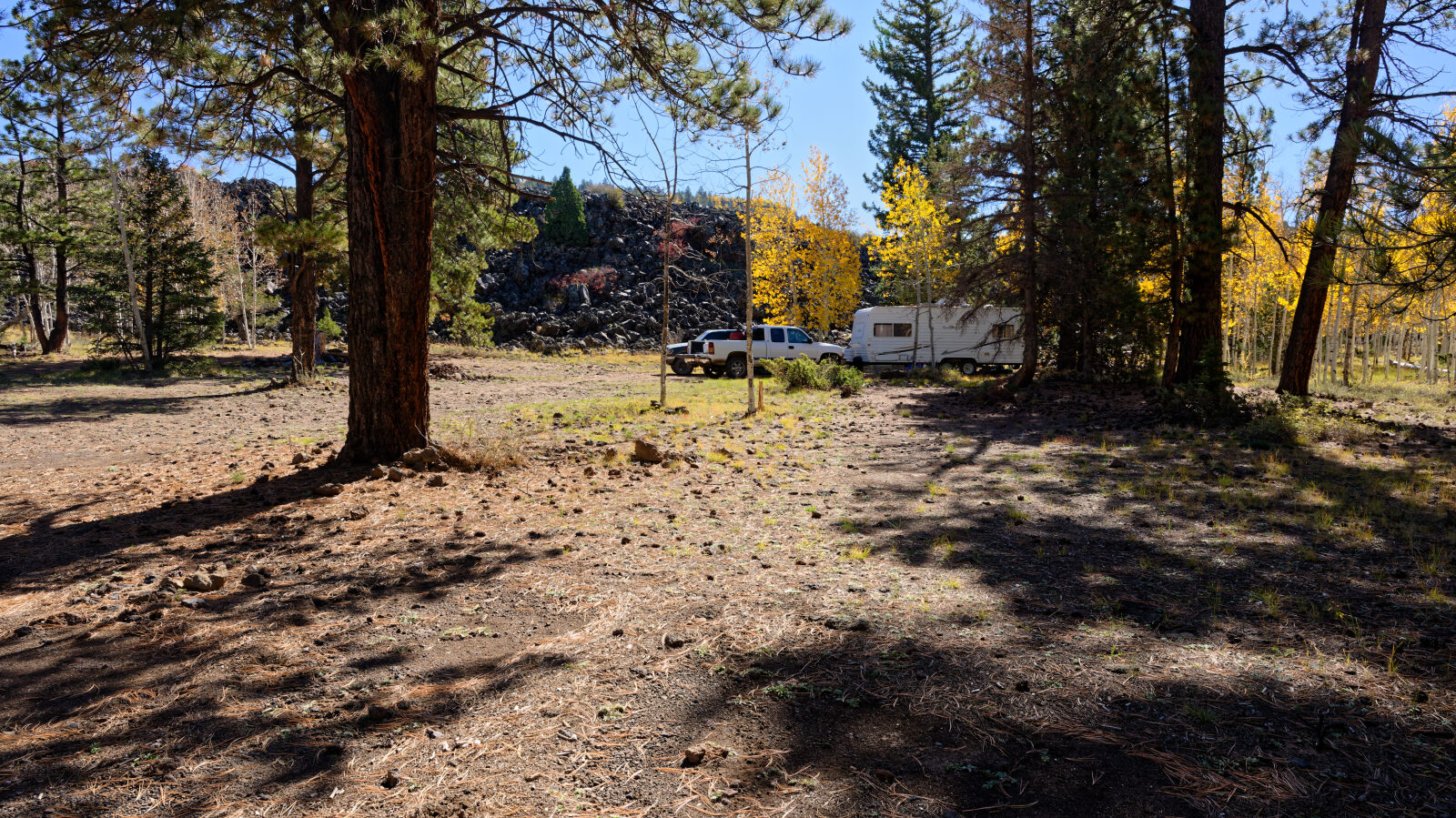
Shady camp spot in the trees, not private. Room for at least three rigs.
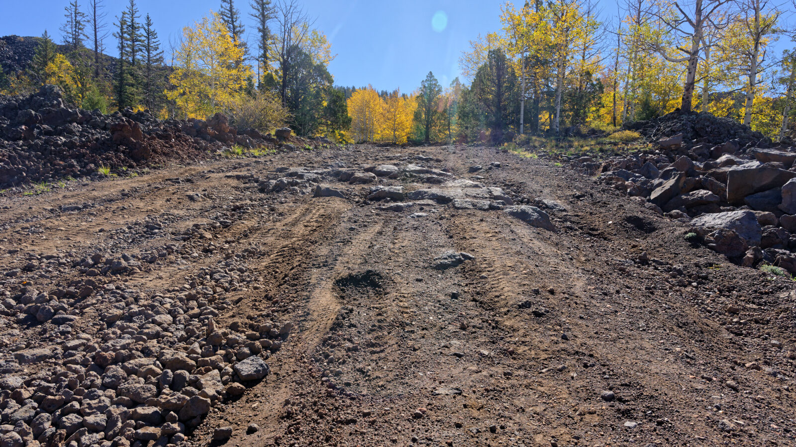
Waypoint 4 (37.67405, -112.66176)
Level 2 hard spot.
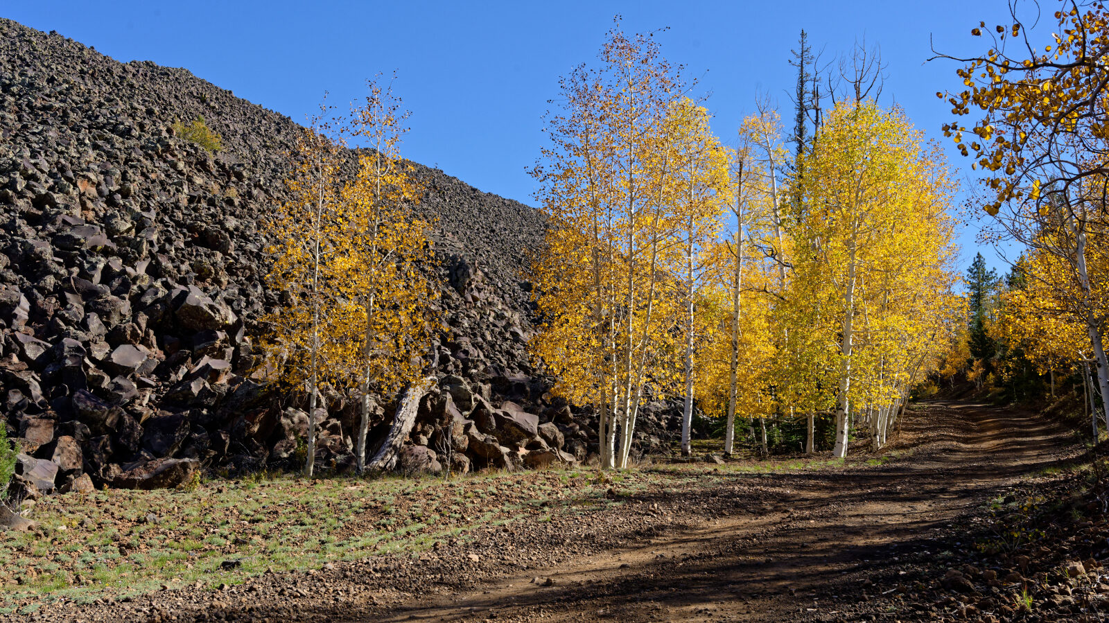
Waypoint 5 (37.67260, -112.65659)
The road passes between two hills of lava rock.
Waypoint 6 (37.67228, -112.65519)
Waypoint 7 (37.67103, -112.64992)
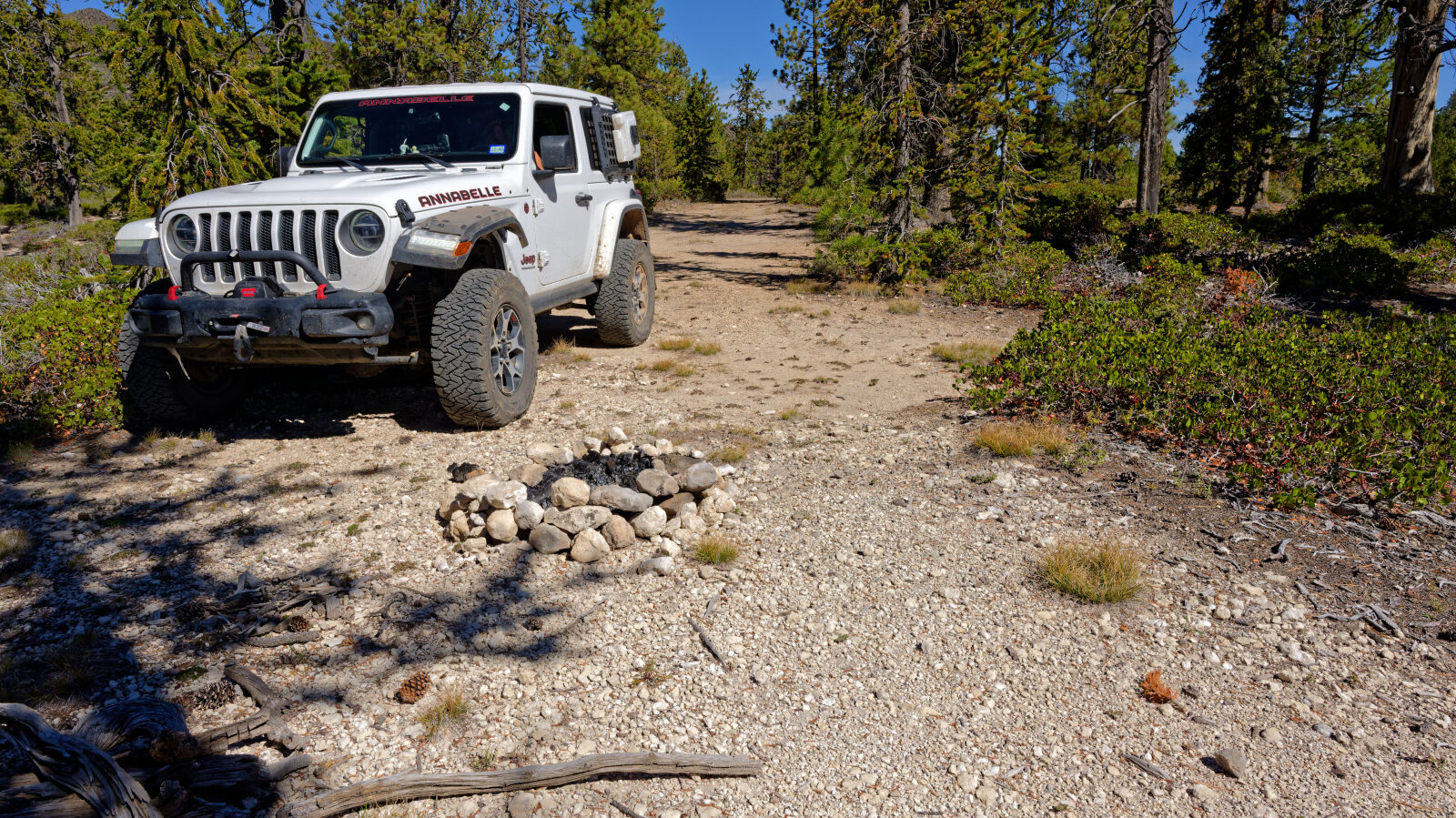
Waypoint 8 (37.66908, -112.64269)
Very small camp spot that barely fits one rig. In the trees with some privacy and little shade.
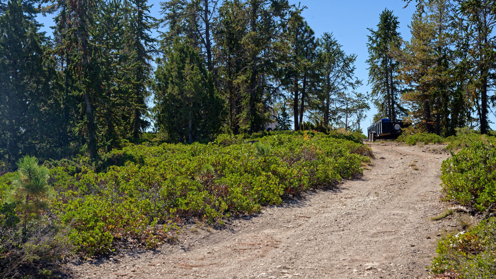
Waypoint 9 (37.66839, -112.64131)
Camp spot with room for a couple of rigs, some shade and a little privacy.
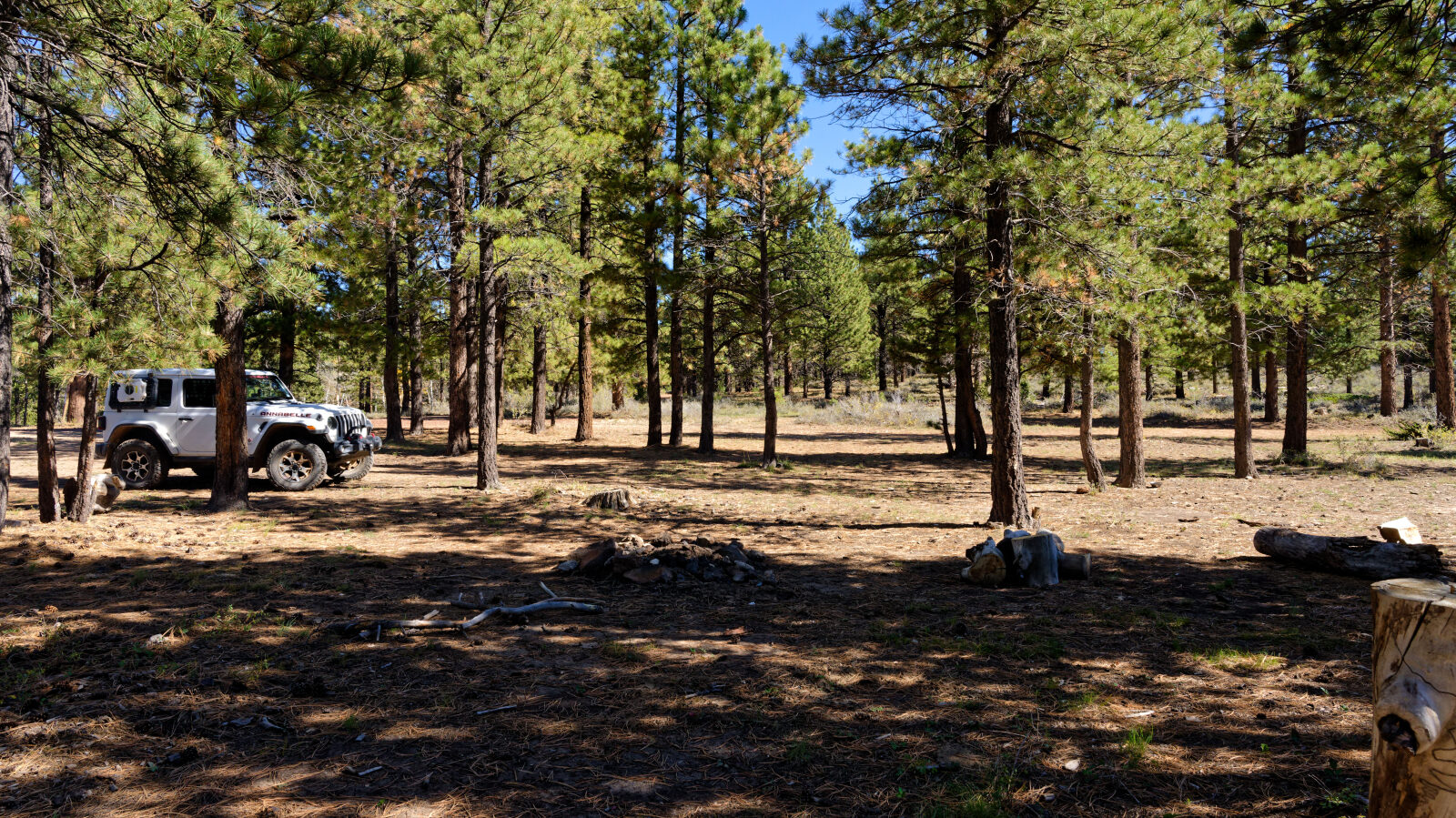
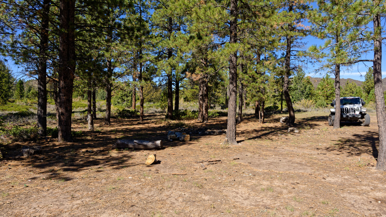
Waypoint 10 (37.66830, -112.63942)
Shady camp spot, not private. Fits 2 to 4 rigs if they are short.
Waypoint 11 (37.66628, -112.63982)
Shelf road that is one Jeep wide for a short stretch.
Waypoint 12 (37.66634, -112.62486)
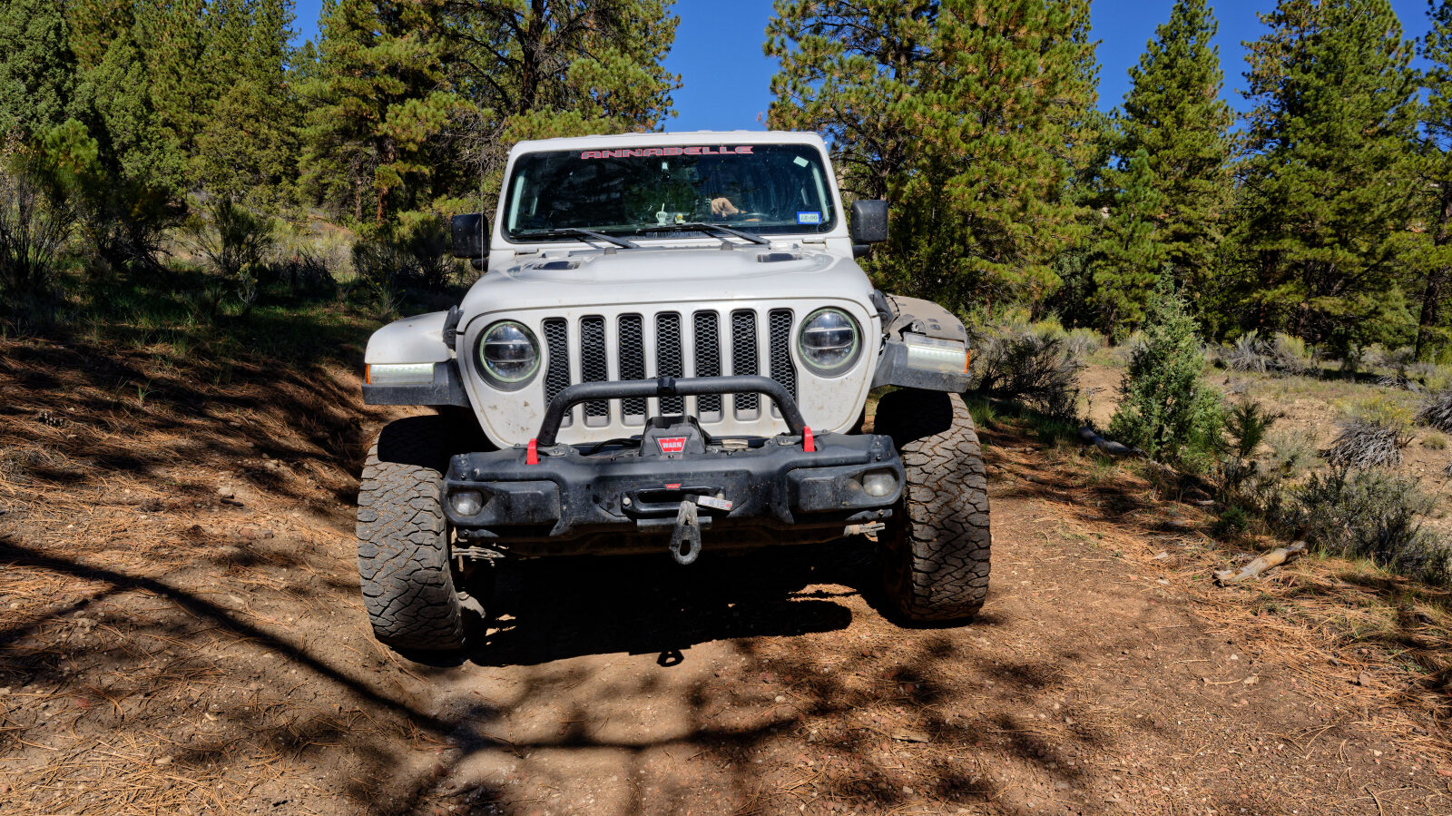
Deep ruts of about 11 inches that cannot be avoided. Level 3 spot.
Waypoint 13 (37.65996, -112.62508)
Waypoint 14 (37.64660, -112.62318)
Waypoint 15 (37.64193, -112.59487)
Private property here. Stay on the road.
Waypoint 16 (37.64467, -112.59186)
Back on Forest Service land.
Waypoint 17 (37.68290, -112.53949)
End of the trail. Private property is nearby.