Miller Knoll Road - Level 3
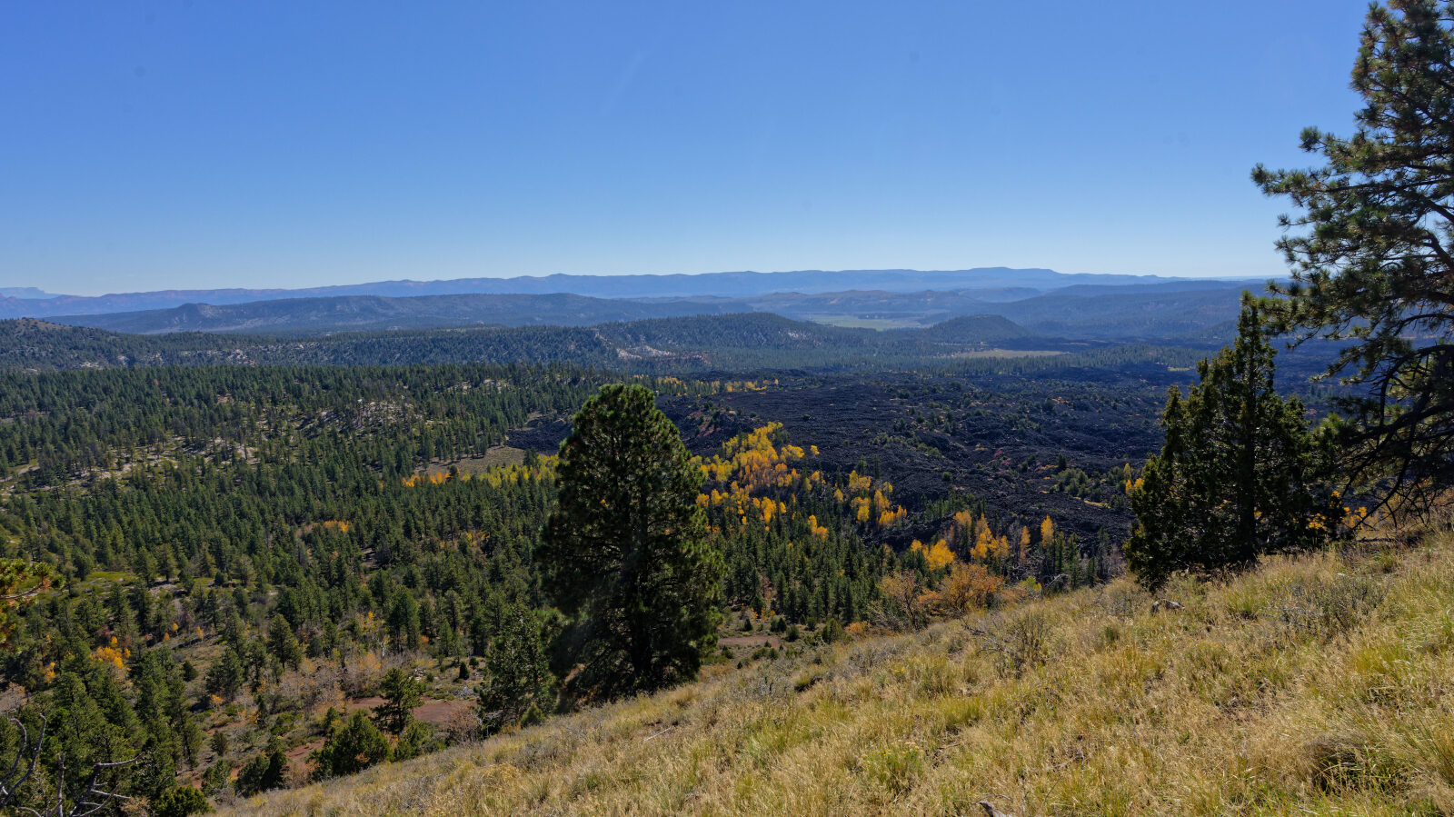
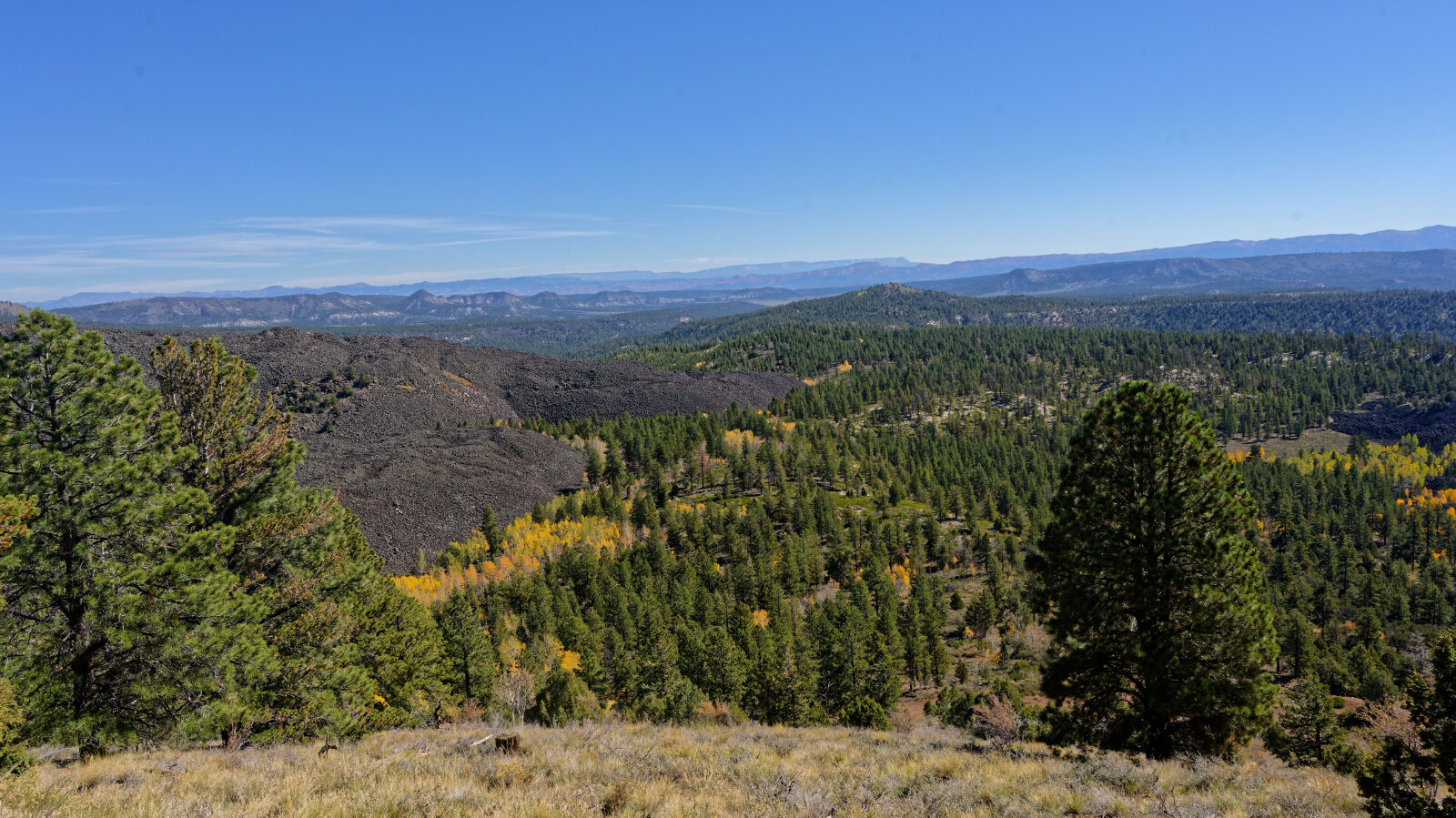
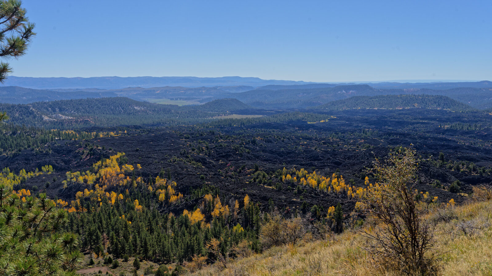
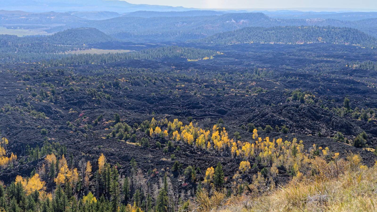
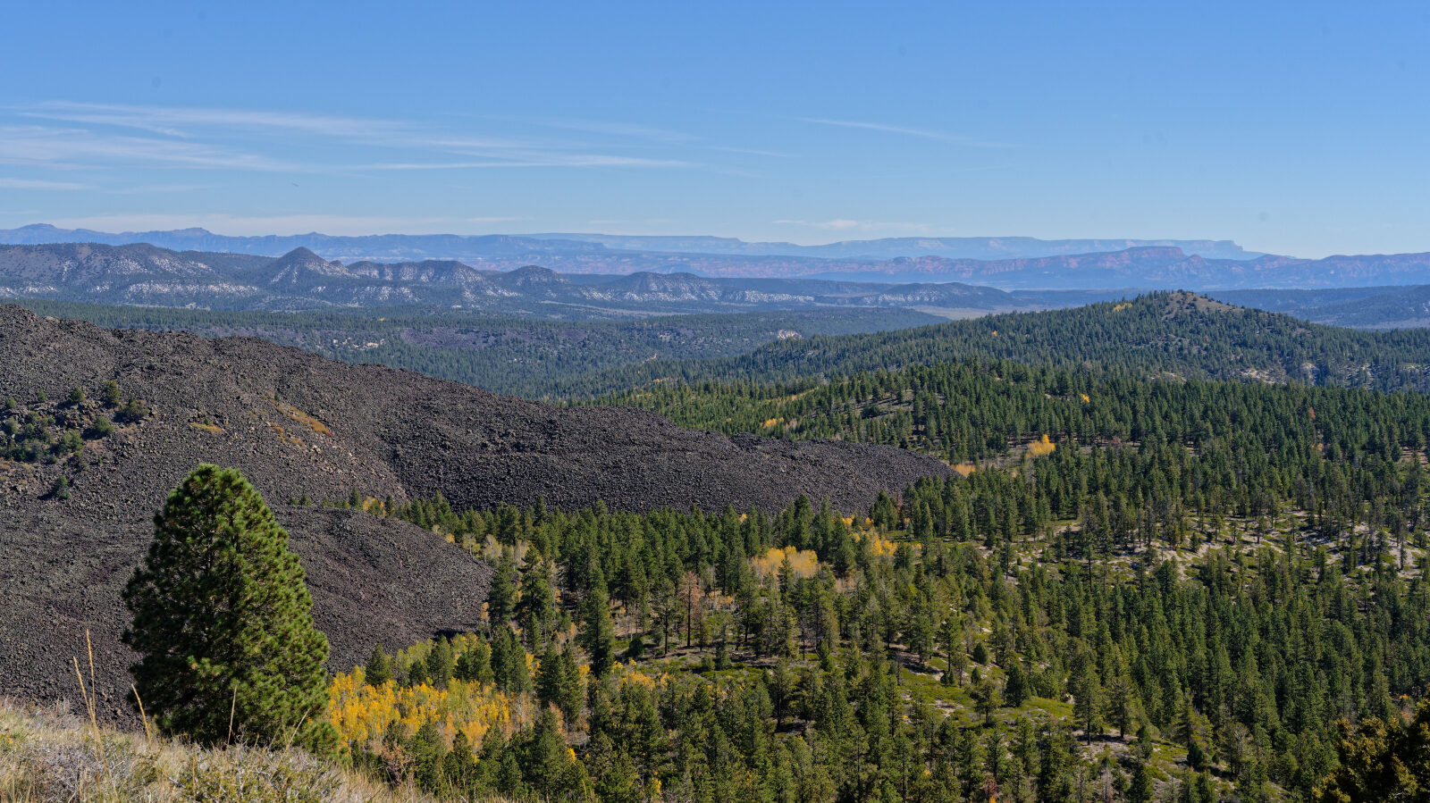
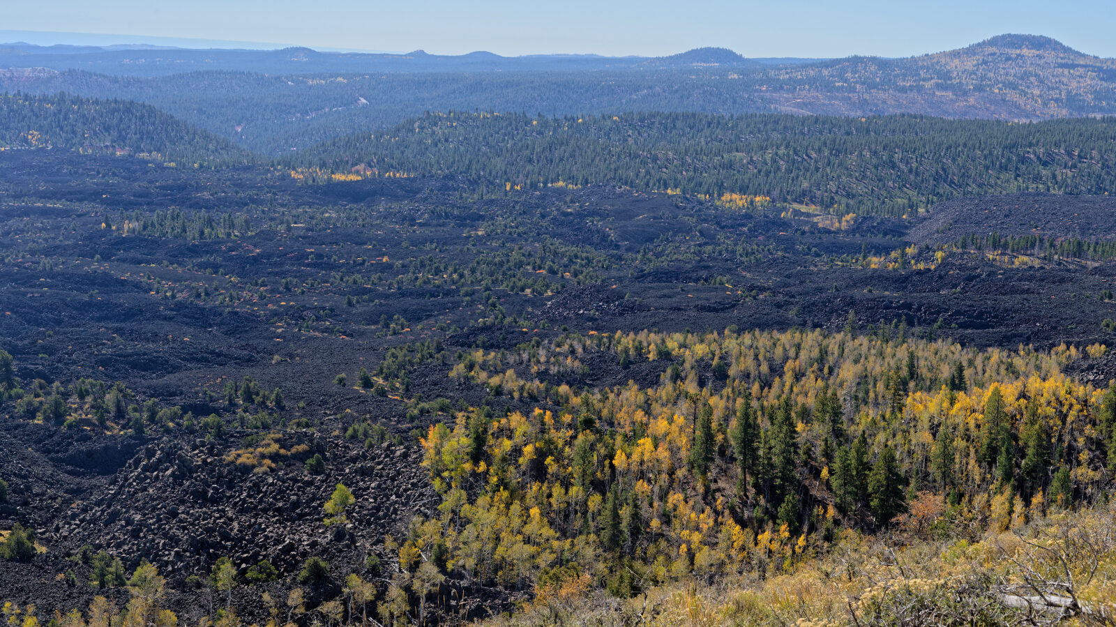
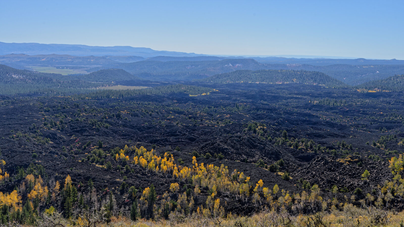
Miller Knoll Road is a short spur in Dixie National Forest, Garfield County, Utah, on the high plateau country near Panguitch. It climbs onto a knoll and ends at a small area of dark volcanic rock.
The route is quick to drive and works as a side trip when exploring the surrounding forest roads.
Trail Summary
- LocationPanguitch, Utah
- Distance1.3 miles
- DifficultyLevel 3
- Elevation8,700 ft to 9,028 ft with a 328 ft change
- Travel Time30 minutes
Difficulty
Best suited for a high clearance 4x4
This trail is rated Moderate (level 3), best suited to a high clearance 4x4. Expect an uneven, rutted road with loose rock, short steep grades and obstacles up to about 12 inches. The road is generally one vehicle wide with places to pass. The log marks one hard spot where the ruts run for roughly 300 feet. They are deeper than 9 inches and cannot be avoided, so careful tire placement and good clearance are needed. The early part is a narrow shelf road about one Jeep wide, so watch for oncoming traffic.
Terrain
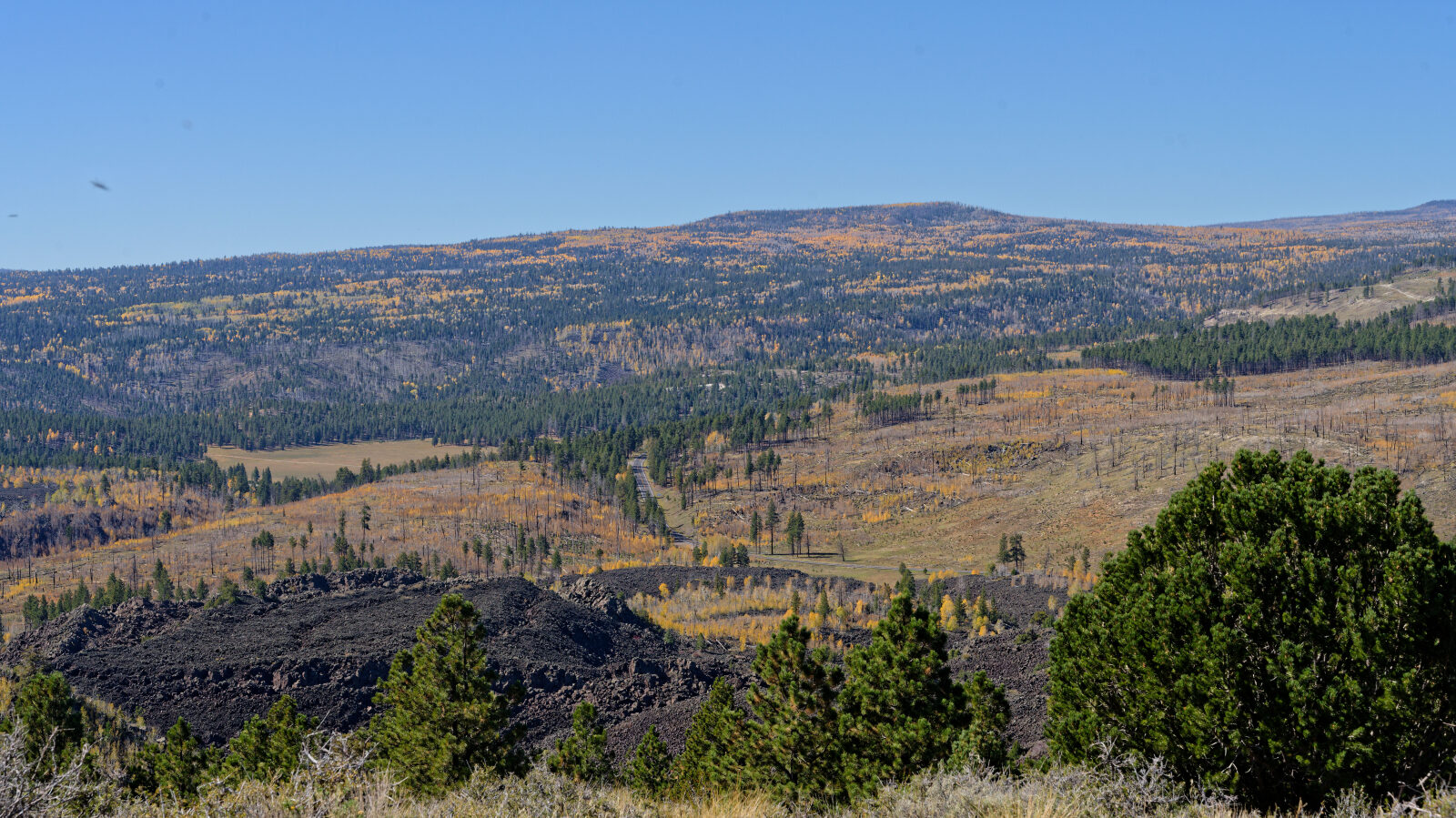
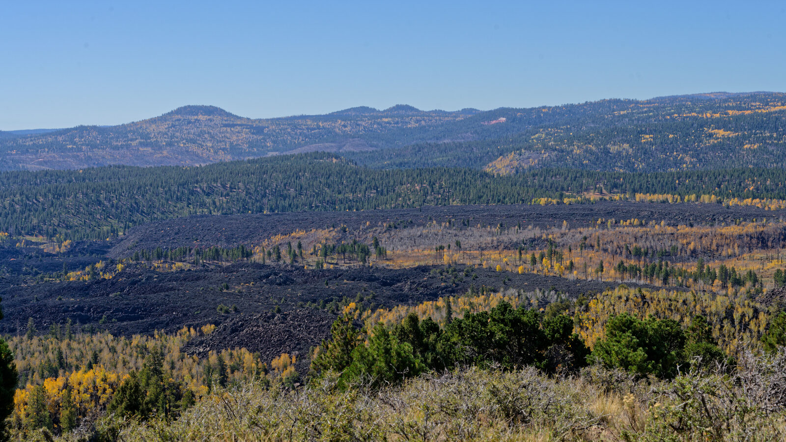
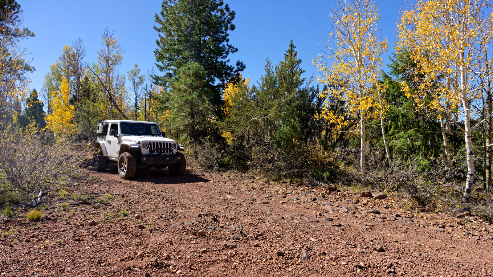
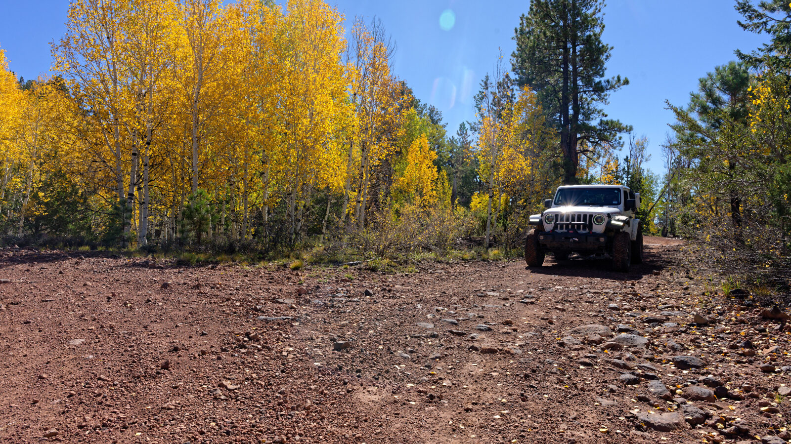
The trail starts on a narrow shelf road and then follows a rutted track. Later the surface changes to small, gravelly lava rock that is very loose on the hills. The setting is high elevation plateau country in southern Utah.
Highlights
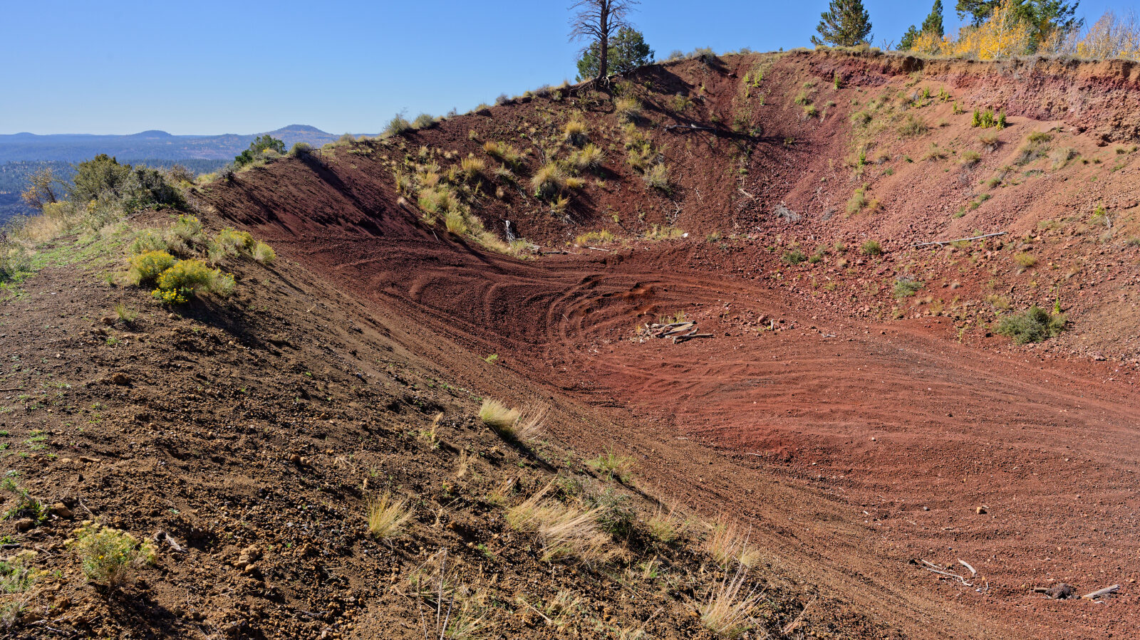
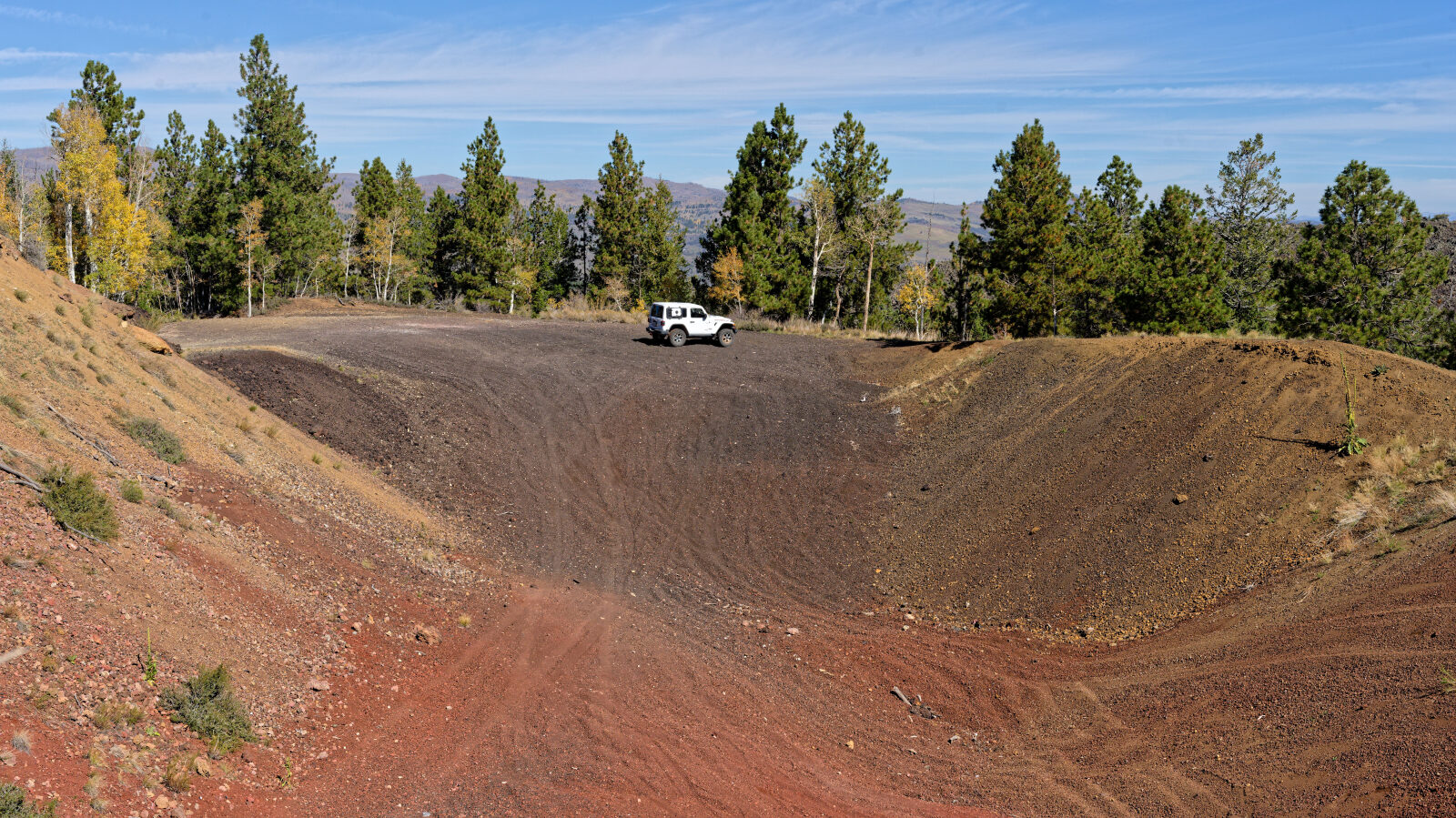
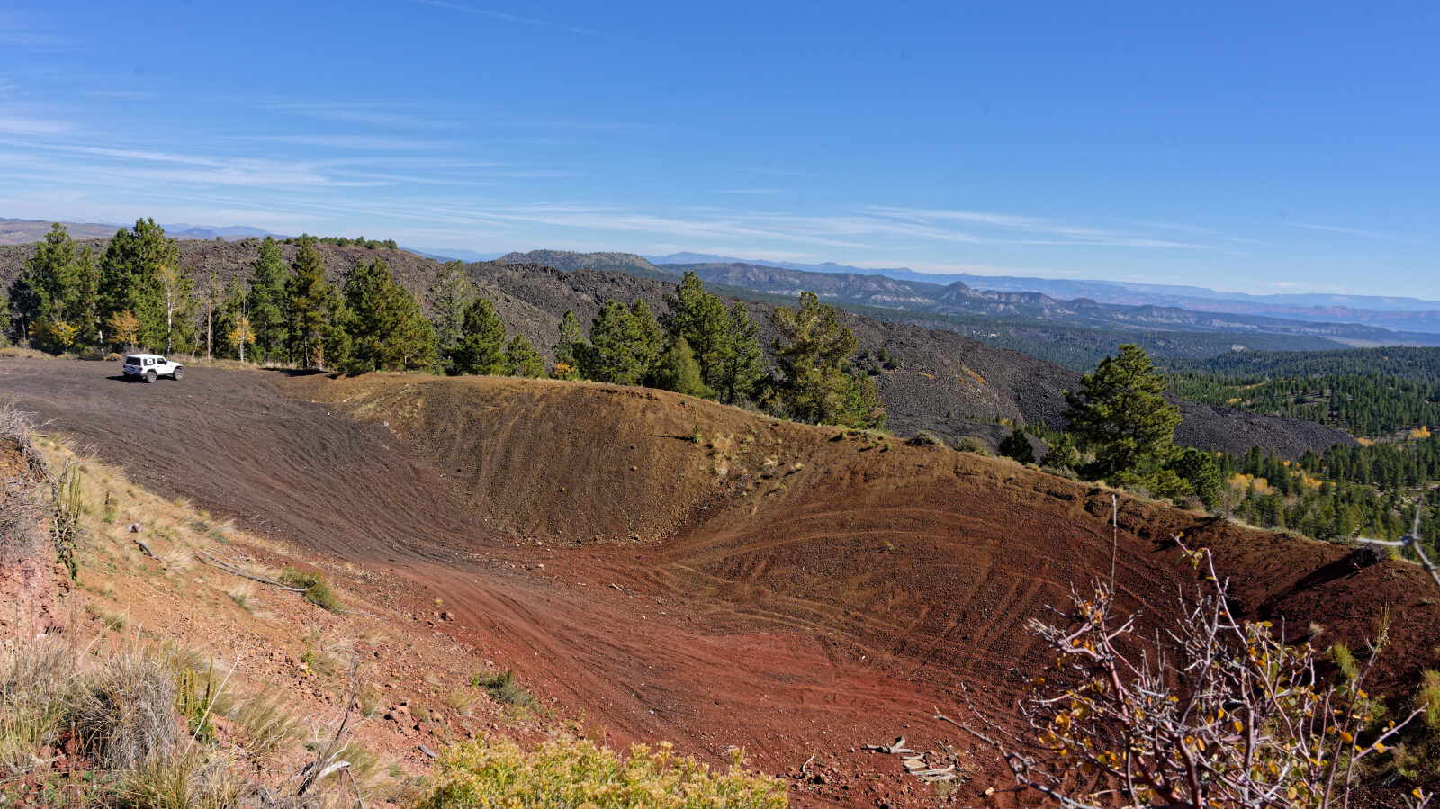
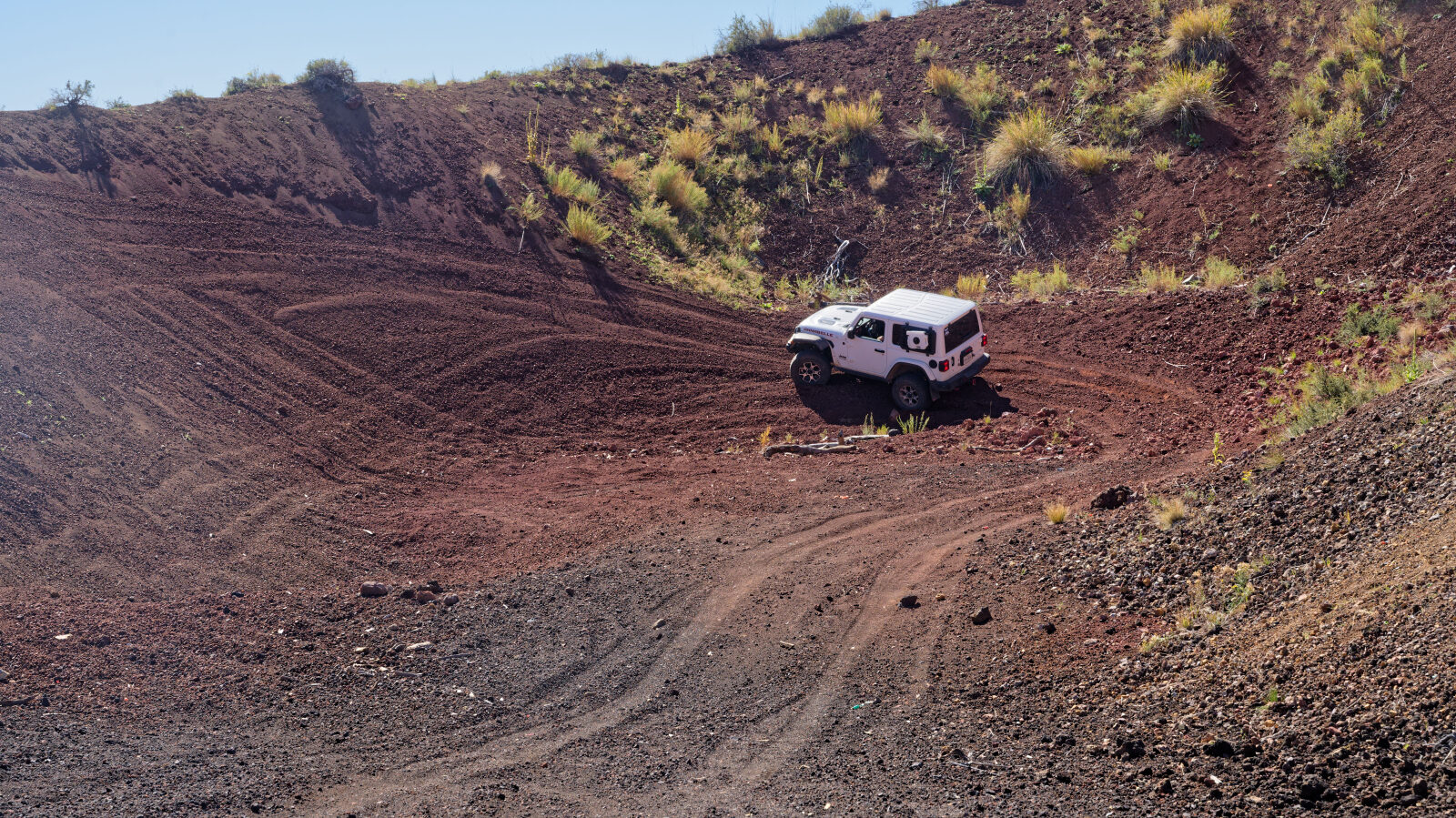
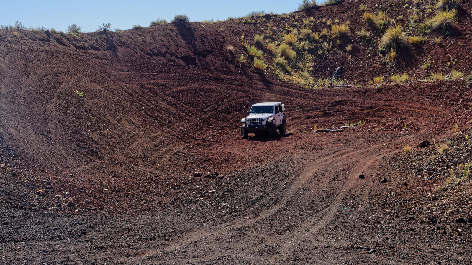
Near the end there is a small play area in the loose lava rock, a handy spot to turn around and look around before heading back out. The road ends at a clear stopping point. The road is signed as forest road 32118.
Map
The interactive map needs JavaScript. Every waypoint is also listed below.
Waypoints
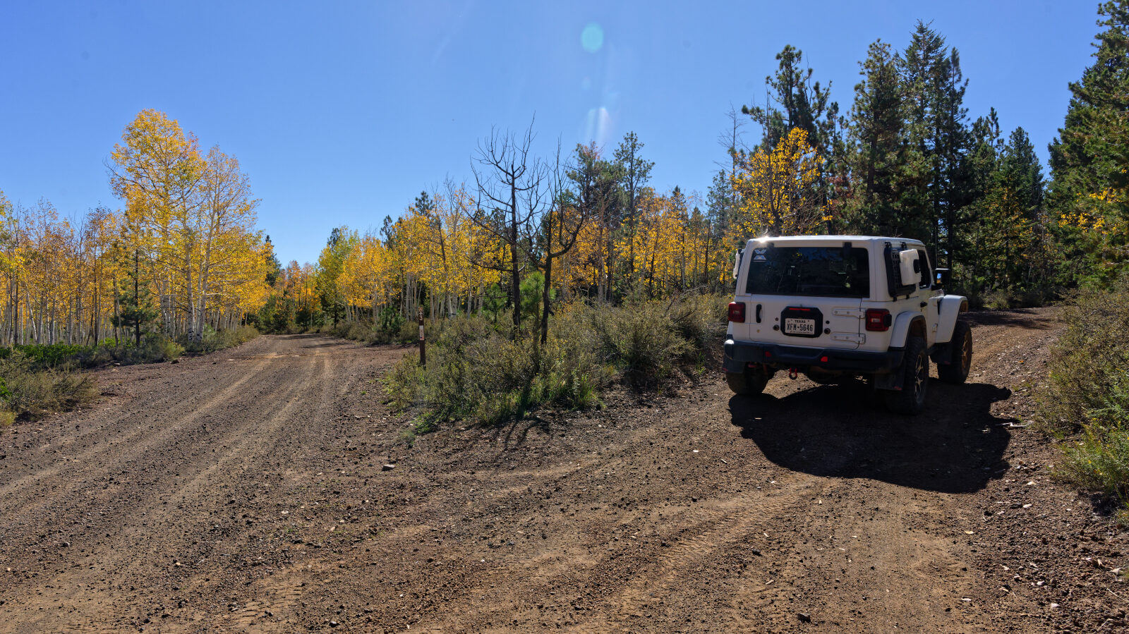
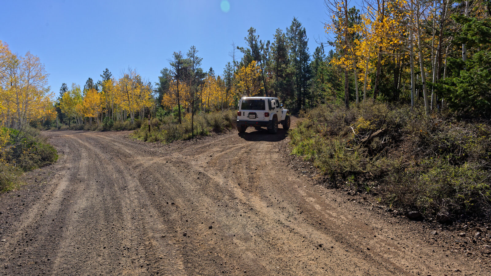
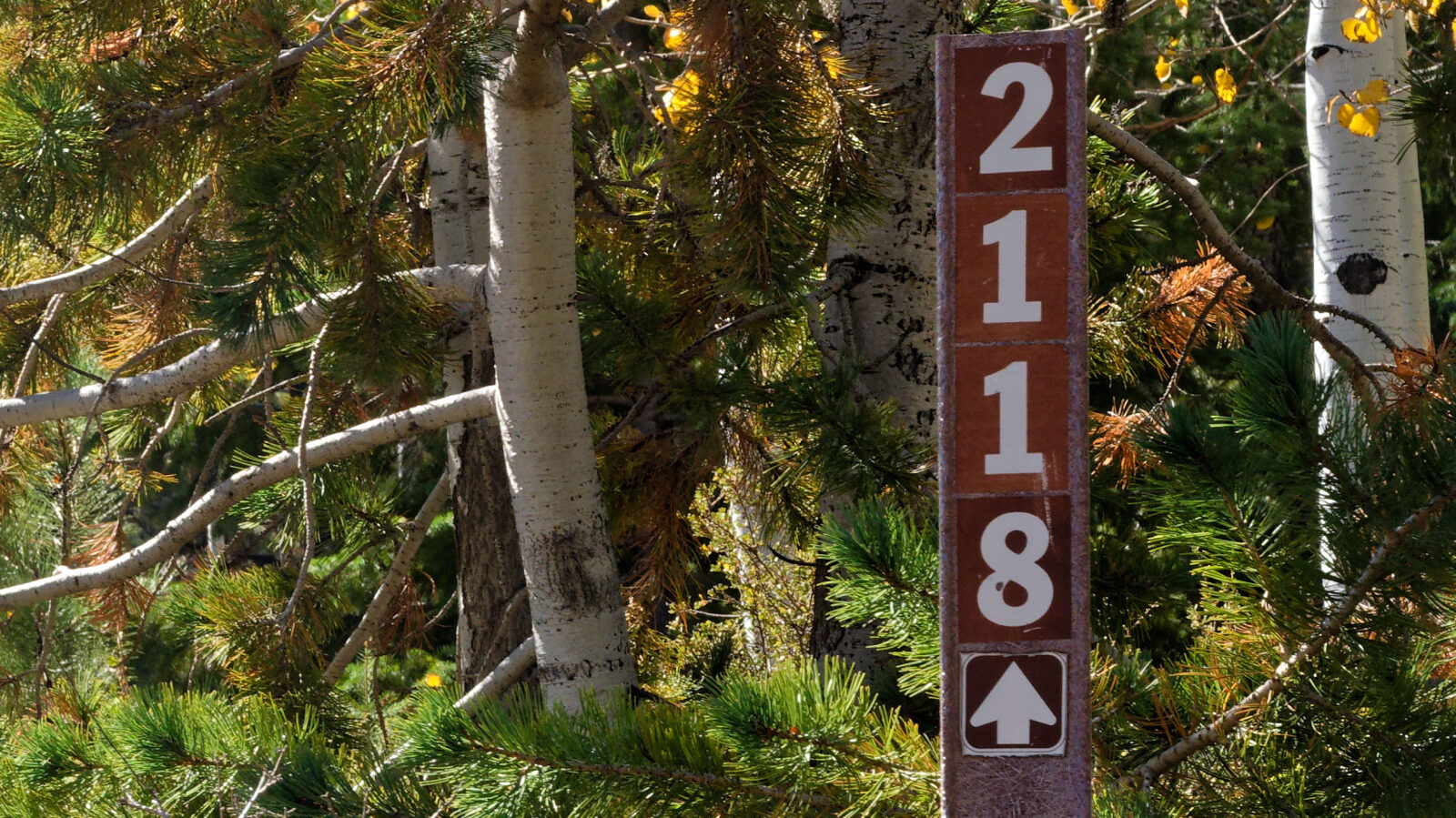
Waypoint 1 (37.67097, -112.64990)
Miller Knoll 32118.
Waypoint 2 (37.67046, -112.65083)
Narrow shelf road, one Jeep wide. Watch for oncoming traffic.
Waypoint 3 (37.67125, -112.65270)
Level 3 hard spot. The ruts run for about 300 ft., are deeper than 9 in. and cannot be avoided.
Waypoint 4 (37.66996, -112.65242)
A small play area in gravelly lava rock. The rock is very loose on the hills, so take care going up and down.
Waypoint 5 (37.66935, -112.65234)
Waypoint 6 (37.66911, -112.65512)
This is the end of Miller Knoll Road.