Monroe Canyon - Level 2
Monroe Canyon Road climbs from the Sevier Valley side of Monroe Mountain into the Fishlake National Forest, passing dispersed camp spots, aspen stands and several viewpoints over the valley. The road crosses a short stretch of private land and passes a memorial and a few interpretive signs along the way.
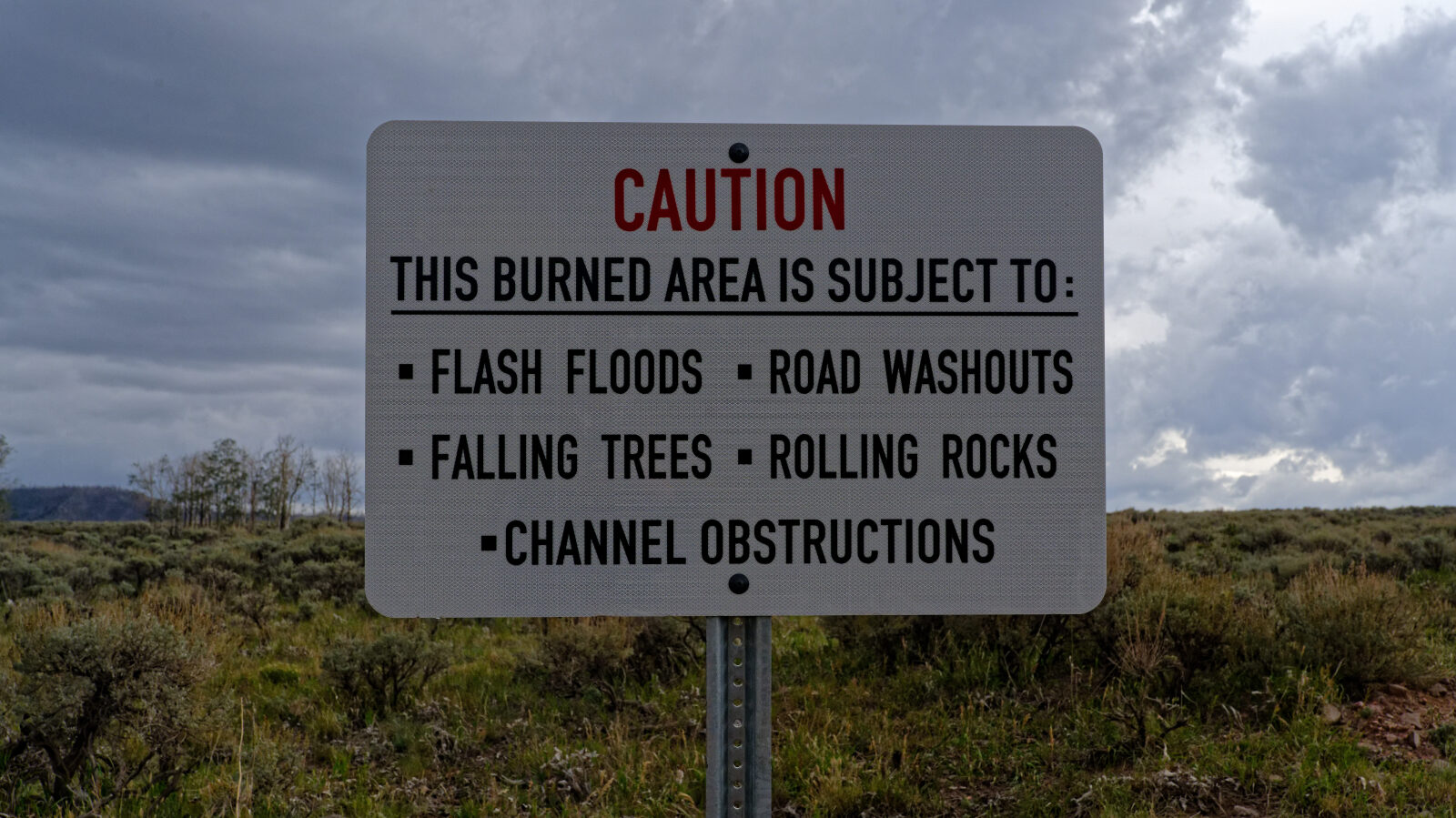
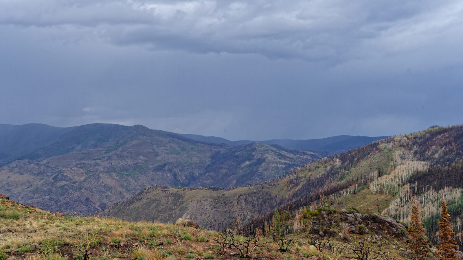
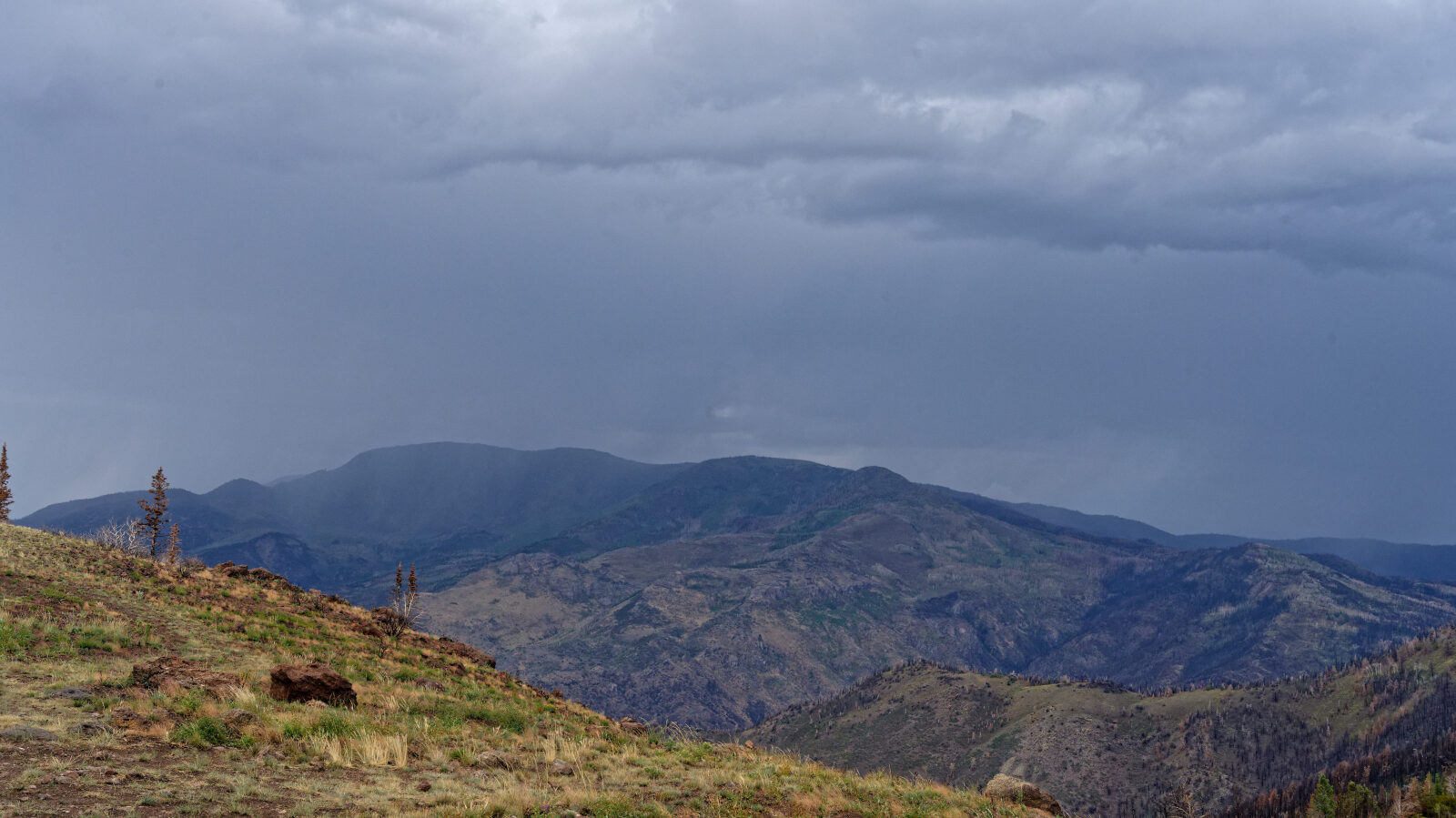
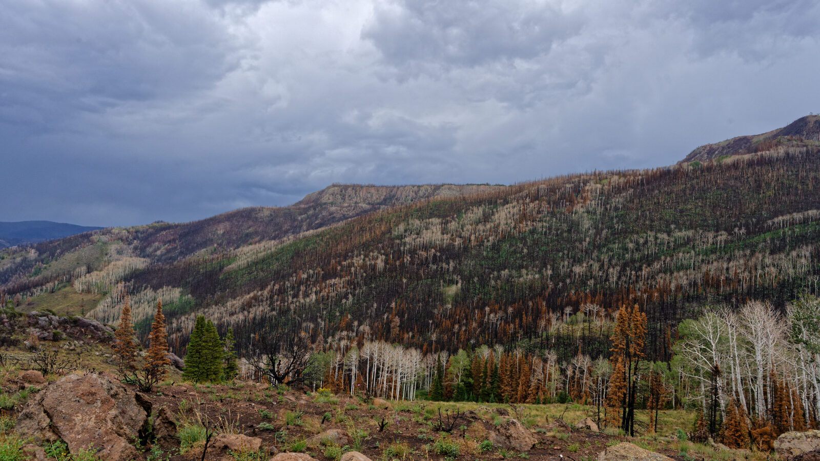
Much of the upper route runs through the burn scar of the 2025 Monroe Canyon Fire, so the scenery changes from green timber to open, blackened slopes.
Trail Summary
- LocationPiute County, Utah
- Distance17.3 miles
- DifficultyLevel 2
- Elevation6,307 ft to 10,336 ft with a 4,029 ft change
- Travel Time1 hour 20 minutes
Difficulty
Typically suitable for high clearance 2WD
Level 2 is Easy and is typically suitable for high clearance 2WD. Stock equipment is enough, but the surface can test tire traction and ground clearance. Expect dirt or rocky road with obstacles under 9 inches, such as rocks, dips and ruts, plus possible shallow water crossings and small ledges under 12 inches. The road is usually one to two vehicles wide and is not maintained after rain or snow. On this trail the log marks a few spots to watch. Several shelf road sections are about one and a quarter to one and a half vehicles wide, and the Moore Shelf Road is a bit narrower, so watch for oncoming traffic, especially around bends. The log notes two hard spots: one it rates as a level one hard spot, and one it rates as a level two hard spot at a short creek crossing. The crossing looks washed out by past flooding and is passable with care for a high clearance 2WD vehicle. Take extra care if it is raining. The road is open.
Terrain
The road is dirt and rock, running from lower elevations through timber and open flats up to the high slopes of Monroe Mountain. Parts of the route follow a canyon bottom and cross a small creek. Higher up it traverses shelf sections on the mountainside with views west over the valley. Burned areas have little shade and open views, and the canyon shows signs of earlier flash flooding and debris flow.
Highlights
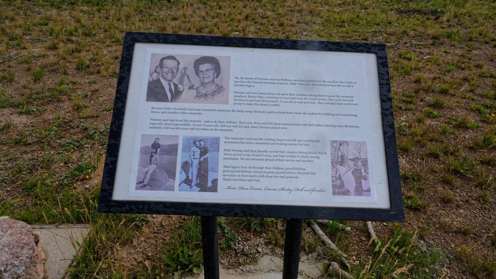
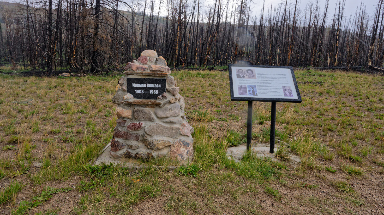
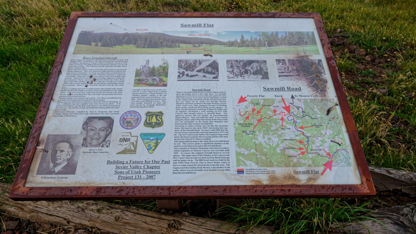
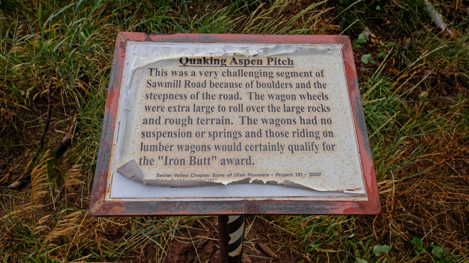
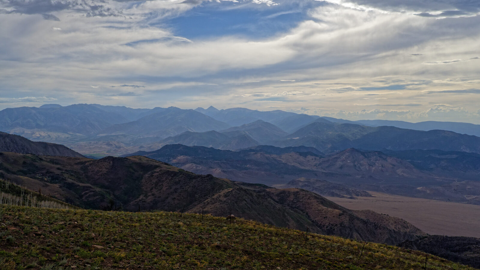
Dispersed camping is spread along the route. Spots range from sunny and open to shaded in trees, and one small site is known as Devil's Dutch Oven. Display signs mark Solomon Hill Flat, Tom's Pitch and Quaking Aspen Pitch. There is a memorial to Norman Robinson (1908-1965) near the private land section. The viewpoints look west over the Sevier Valley, where Richfield and Monroe sit. Pit toilets are at the end of the road.
Map
The interactive map needs JavaScript. Every waypoint is also listed below.
Waypoints
Waypoint 1 (38.49259, -111.99843)
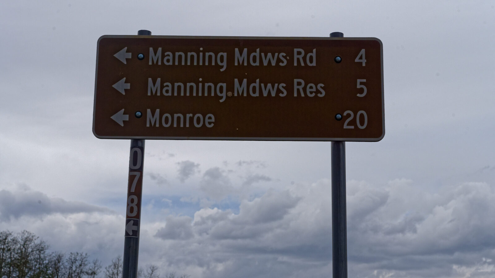
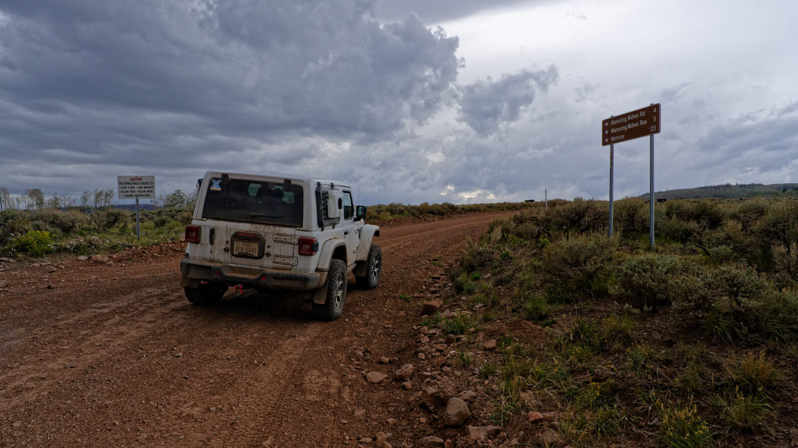
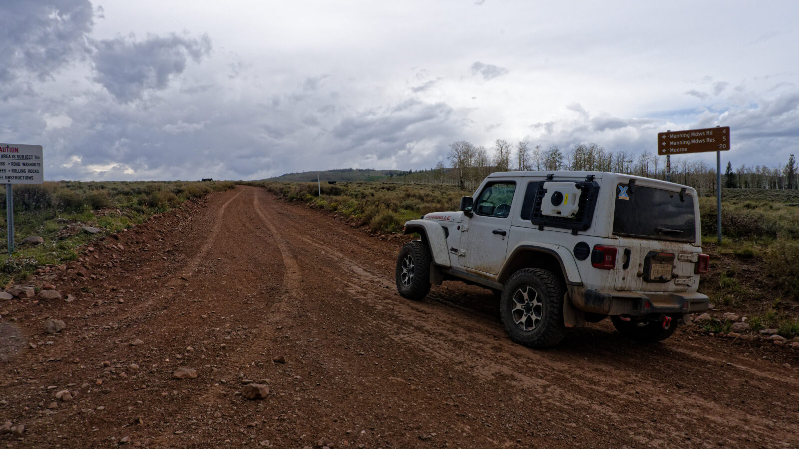
Start of Monroe Canyon Road, number 40078.
Waypoint 2 (38.49479, -112.00332)
Waypoint 3 (38.49634, -112.00475)
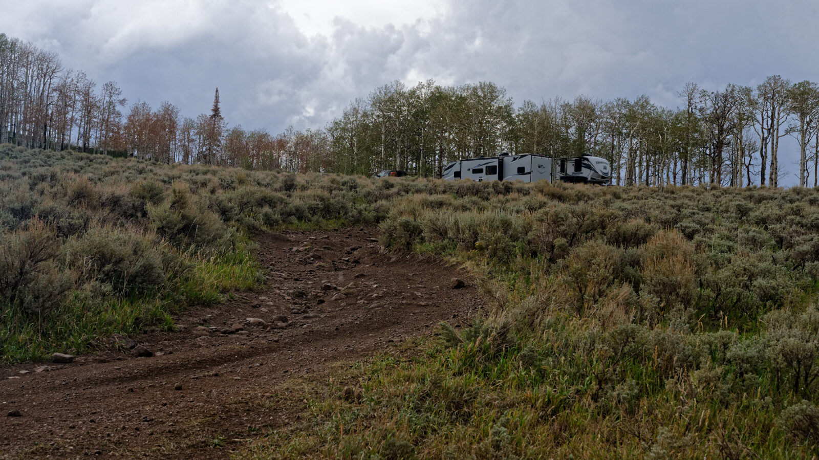
Camp spot in the sun with some trees and no privacy. Two large trailers were here and it could hold more.
Waypoint 4 (38.49801, -112.01367)
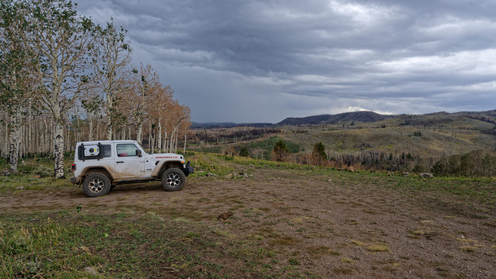
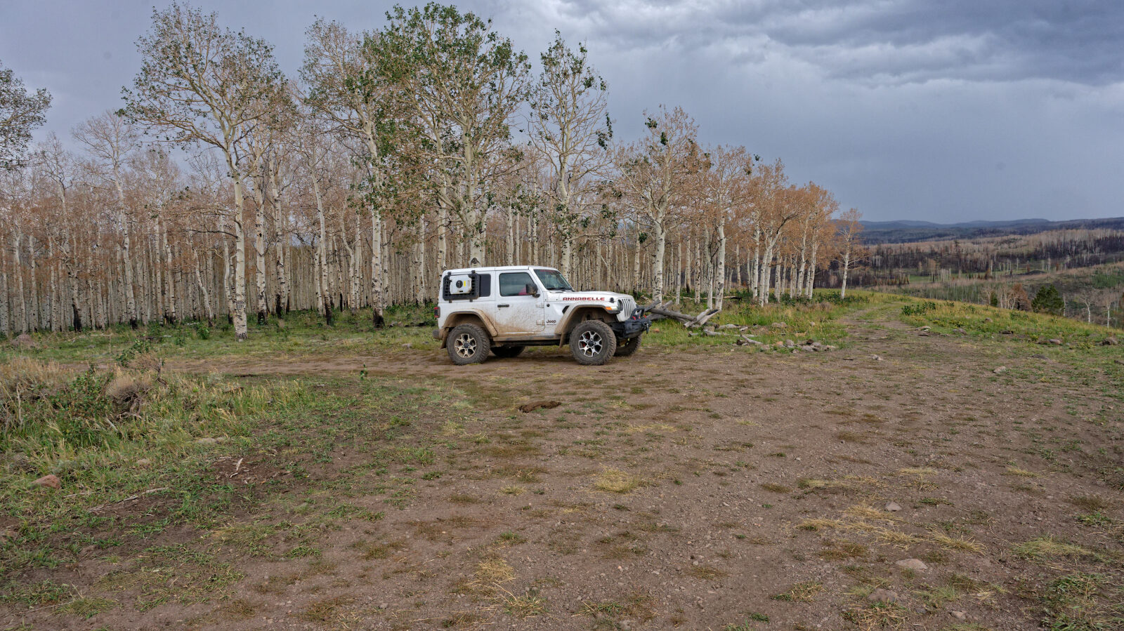
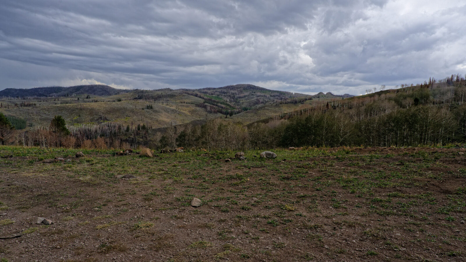
Camp spot with some trees, a little shade and a view, but no privacy.
Waypoint 5 (38.50099, -112.01680)
Camp spot nearby in the trees, with shade and possibly privacy.
Waypoint 6 (38.50137, -112.01948)
Large camp spot tucked into the trees. It has some shade and is semi-private. Three rigs were already here.
Waypoint 7 (38.50631, -112.03155)
The road enters the burn area of the 2025 Monroe Canyon Fire.
Waypoint 8 (38.50432, -112.03385)
The road enters private property.
Waypoint 9 (38.53369, -112.05215)
Waypoint 10 (38.53358, -112.05687)
Memorial for Norman Robinson, 1908-1965.
Waypoint 11 (38.53058, -112.06131)
Back in the National Forest.
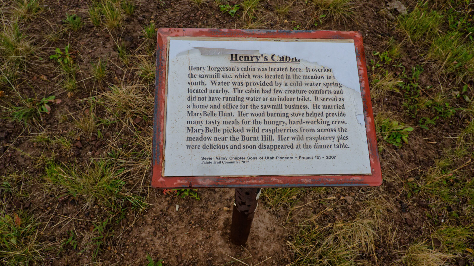
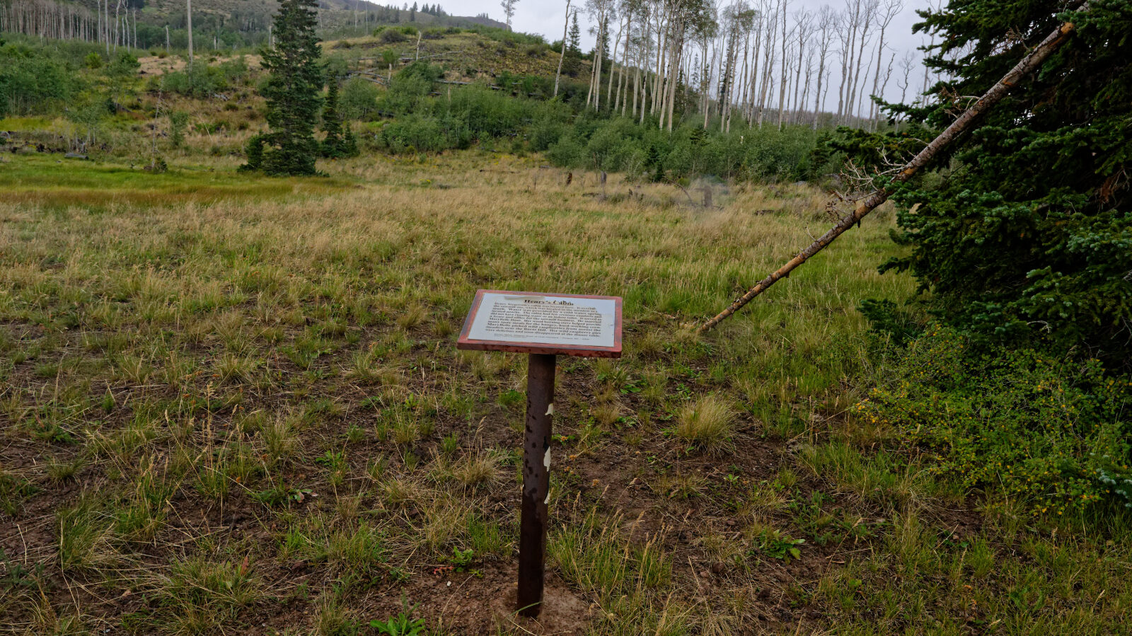
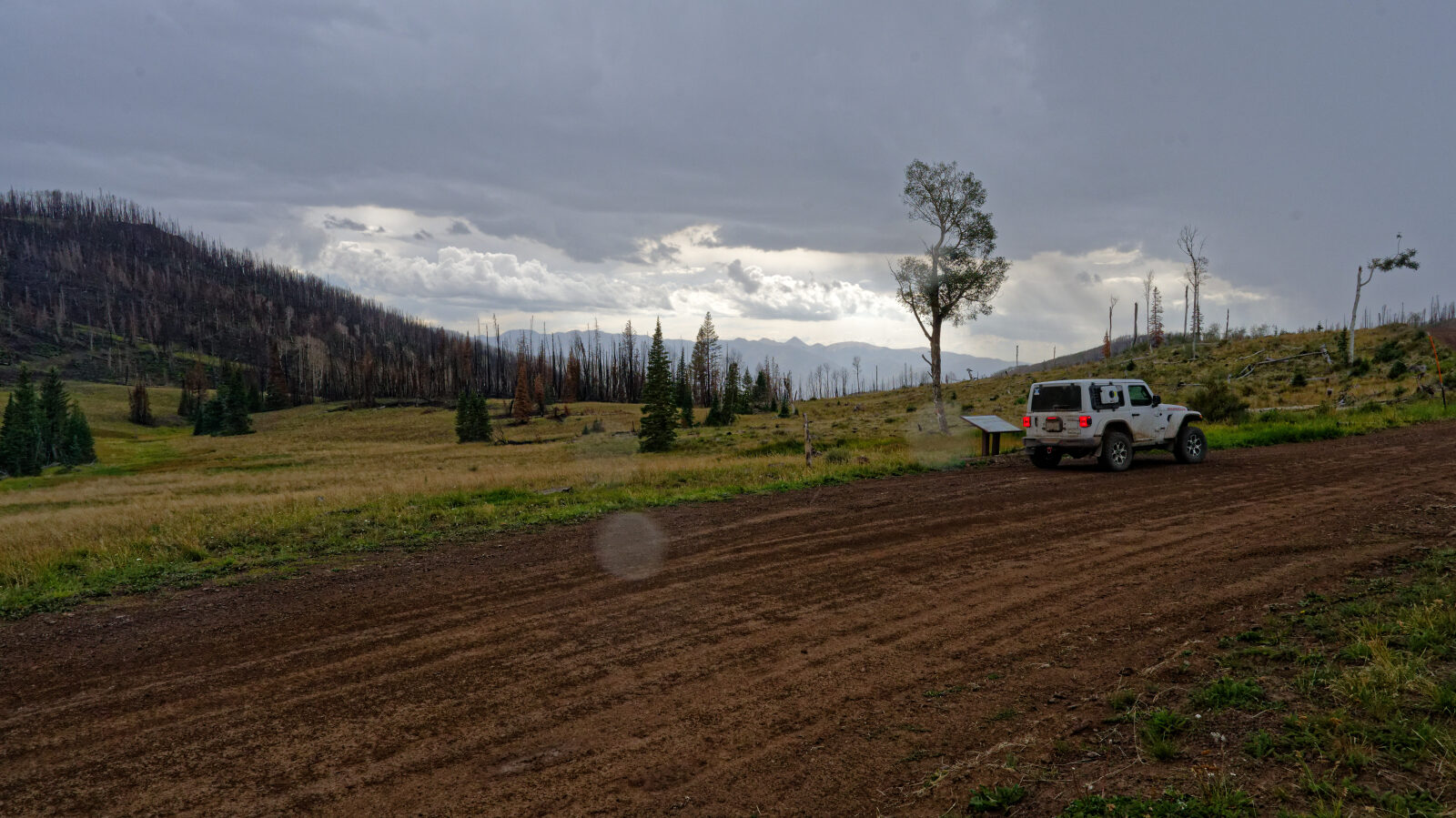
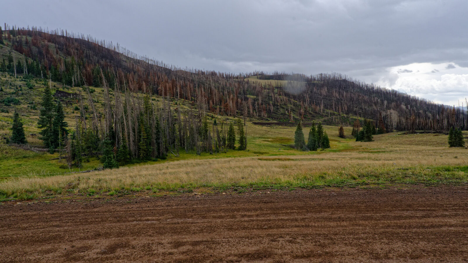
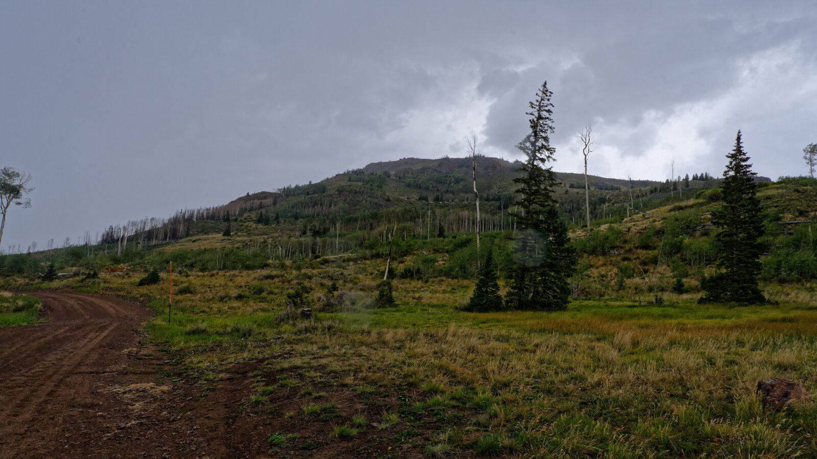
Waypoint 12 (38.52736, -112.06401)
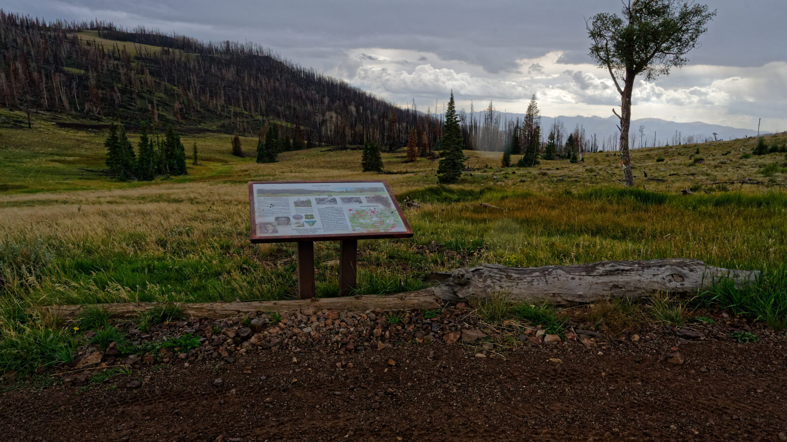
Informational sign for Solomon Hill Flat.
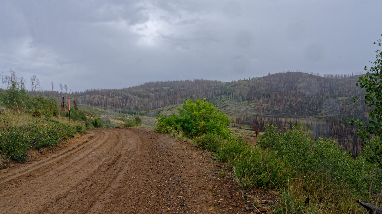
Waypoint 13 (38.52875, -112.06842)
Waypoint 14 (38.52886, -112.07127)
Deep in the area burned by the 2025 Monroe Canyon Fire.
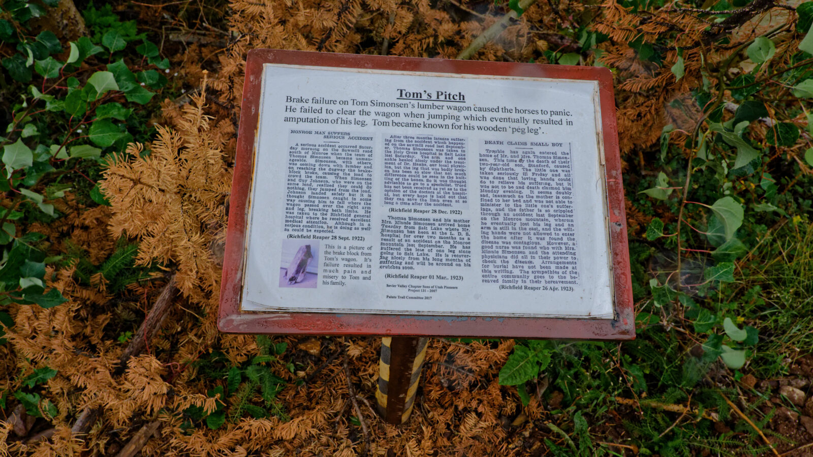
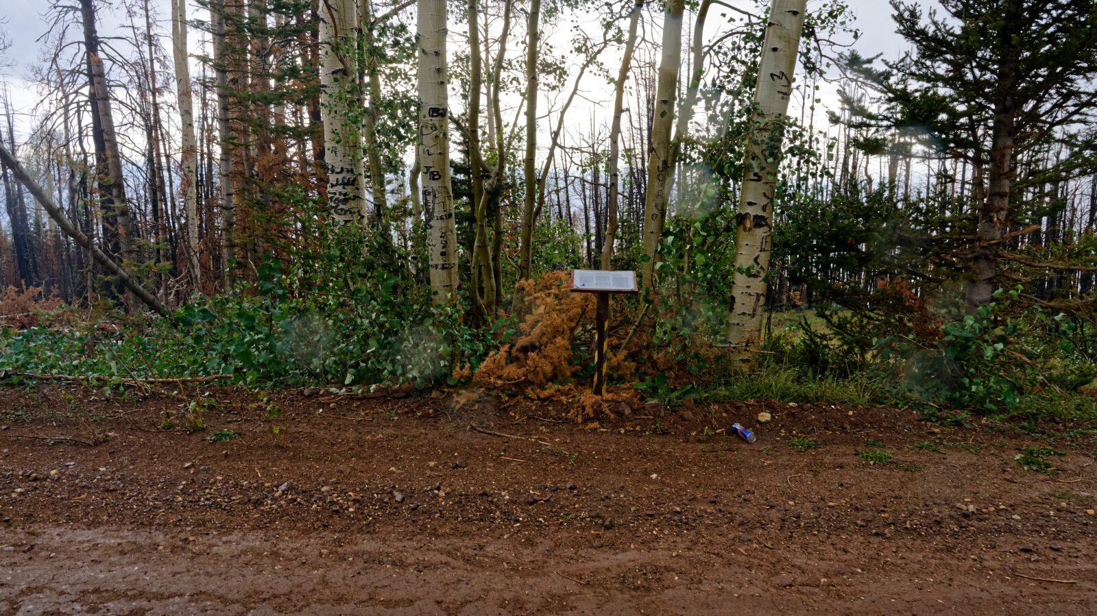
Waypoint 15 (38.53174, -112.08231)
Display sign for Tom's Pitch.
Waypoint 16 (38.53566, -112.08198)
A moderate shelf road, nothing too bad and wide enough for a couple of cars.
Waypoint 17 (38.54373, -112.08027)
Camp spot right by the road with no shade, room for two rigs at most. The location is called Devil's Dutch Oven.
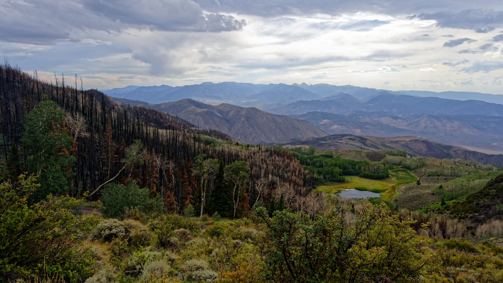
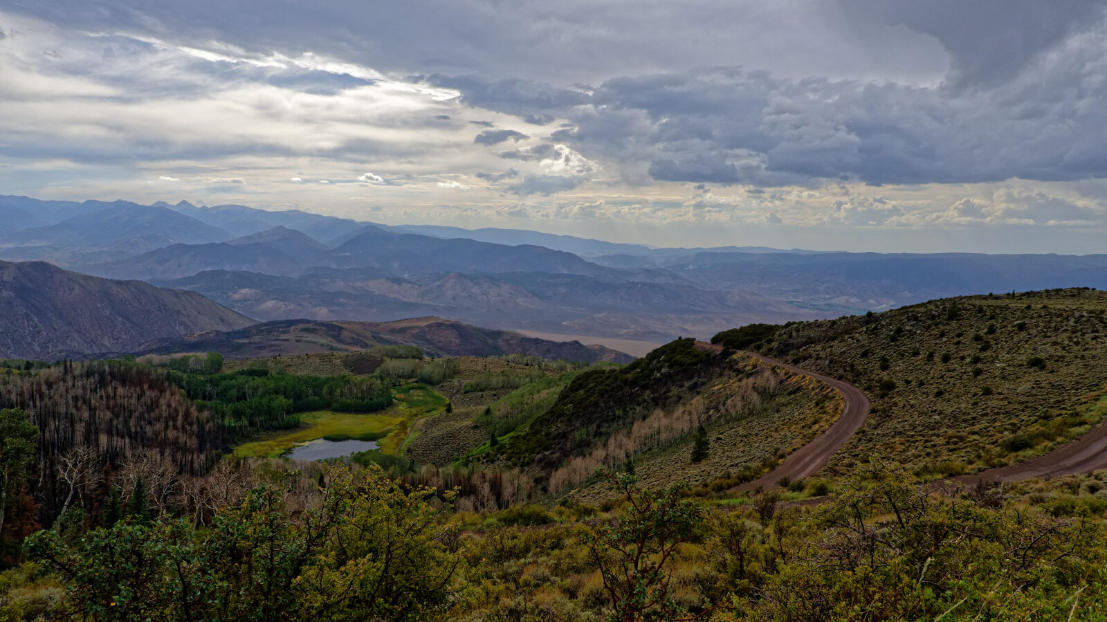
Waypoint 18 (38.54702, -112.08256)
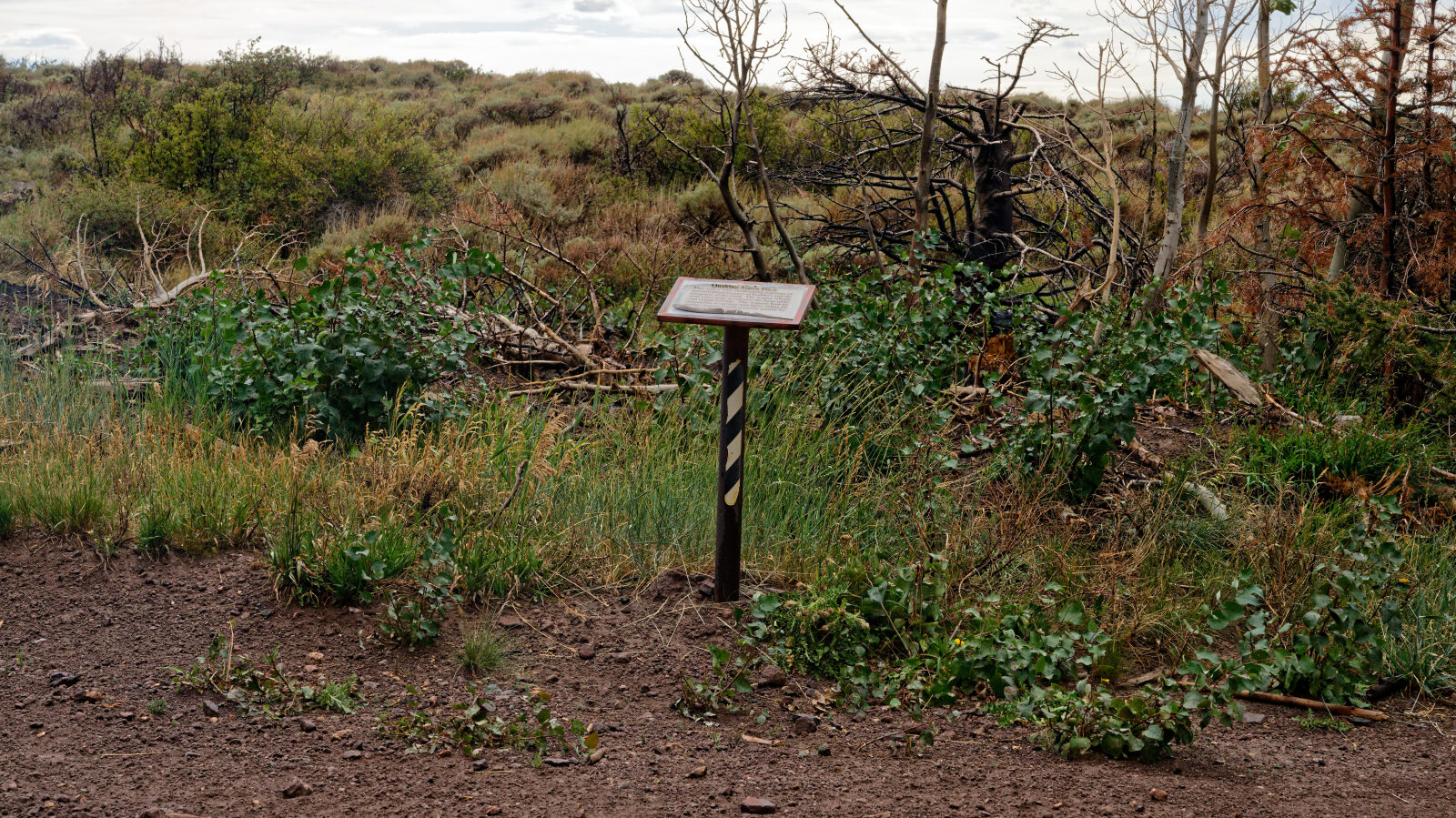
Waypoint 19 (38.54817, -112.08363)
Good spot for photos of the valley. Sign for Quaking Aspen Pitch.
Waypoint 20 (38.54766, -112.08550)
Morris Shelf Road, about one and a half vehicles wide. Watch for oncoming traffic.
Waypoint 21 (38.55419, -112.08767)
Waypoint 22 (38.55596, -112.09383)
Another shelf road, about one and a quarter vehicles wide. Watch for oncoming traffic, especially around the bend.
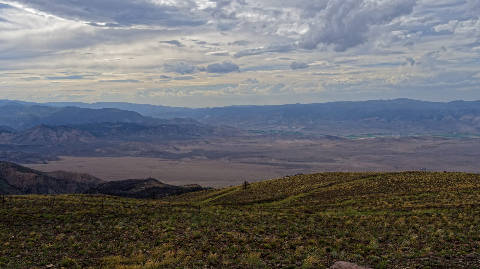
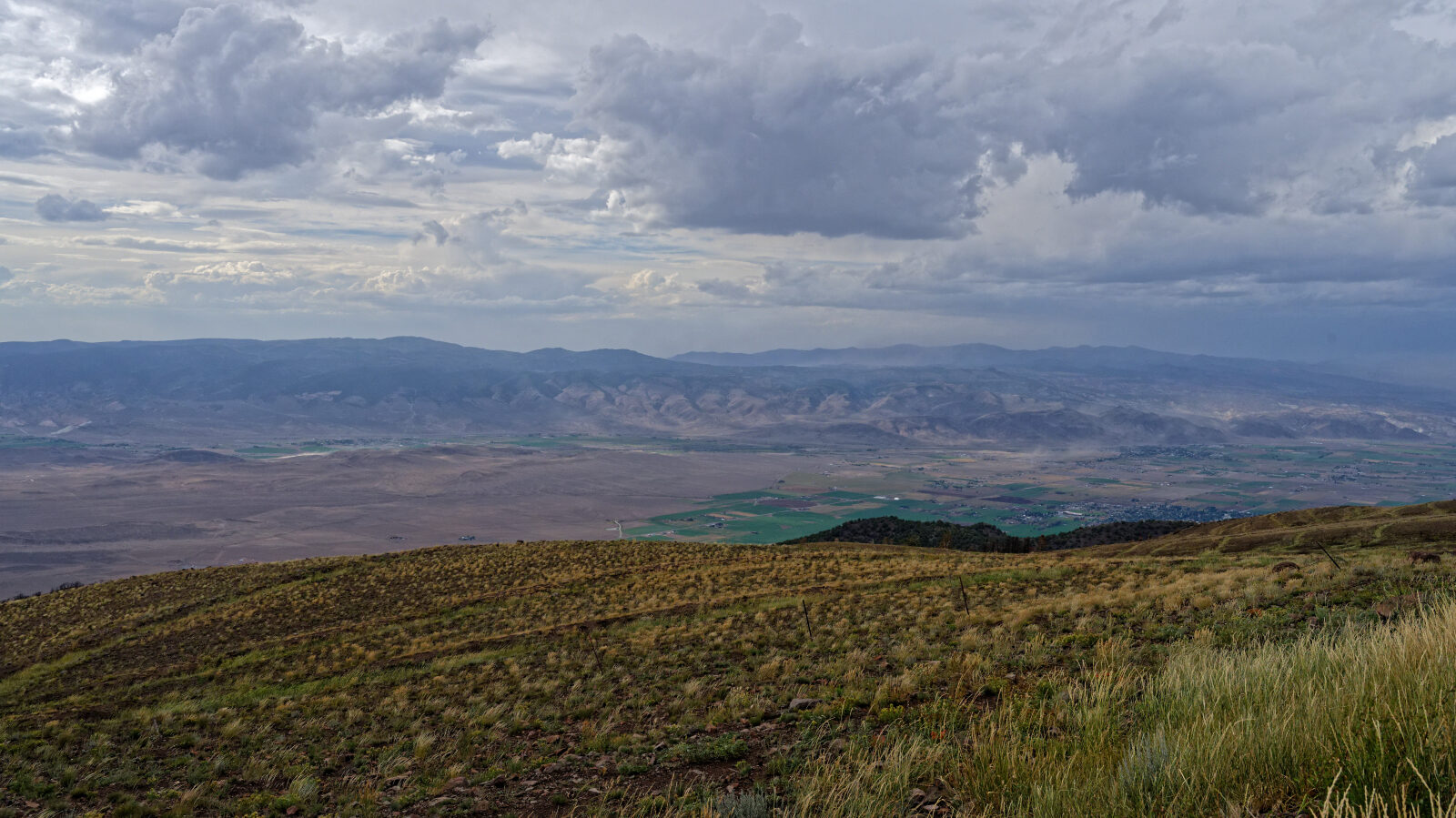
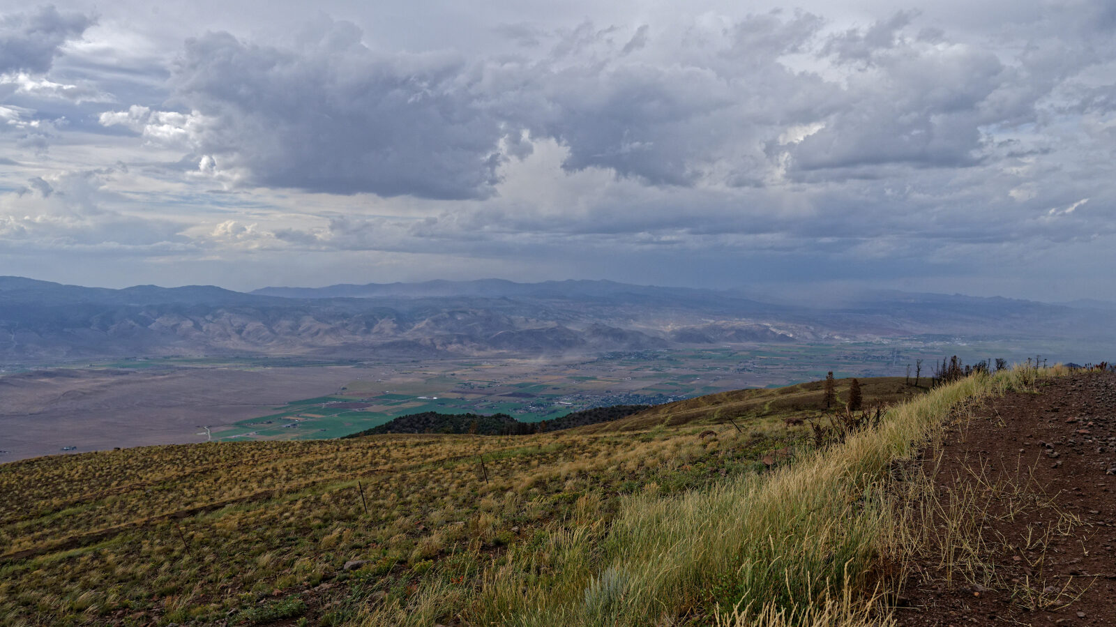
Waypoint 23 (38.55813, -112.09465)
Great view west over the Sevier Valley, home to Monroe and Richfield.
Waypoint 24 (38.56156, -112.08844)
Another great viewpoint.
Waypoint 25 (38.56124, -112.07987)
Two or more camp spots. One is open with no shade or privacy, the other is in the trees with shade and some privacy if tucked back.
Waypoint 26 (38.56330, -112.07802)
Spot the driver noted as a hard spot.
Waypoint 27 (38.56655, -112.08033)
Morris Shelf Road, about 1.25 vehicles wide. Watch for oncoming traffic.
Waypoint 28 (38.57876, -112.08384)
Moore Shelf Road, a little narrower. Watch for oncoming traffic.
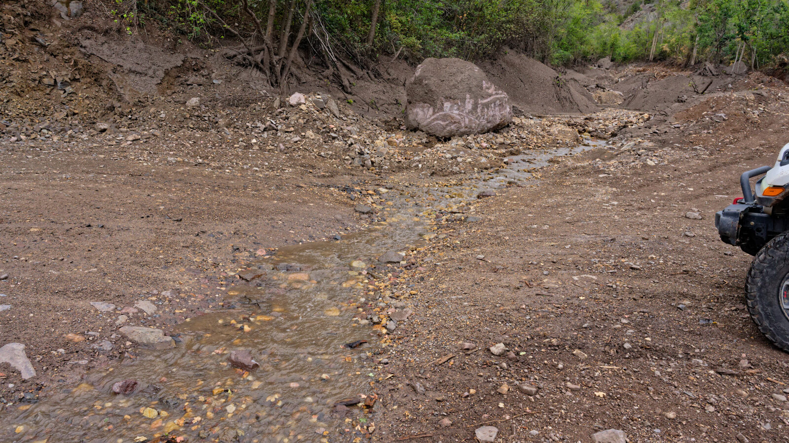
Waypoint 29 (38.57783, -112.08368)
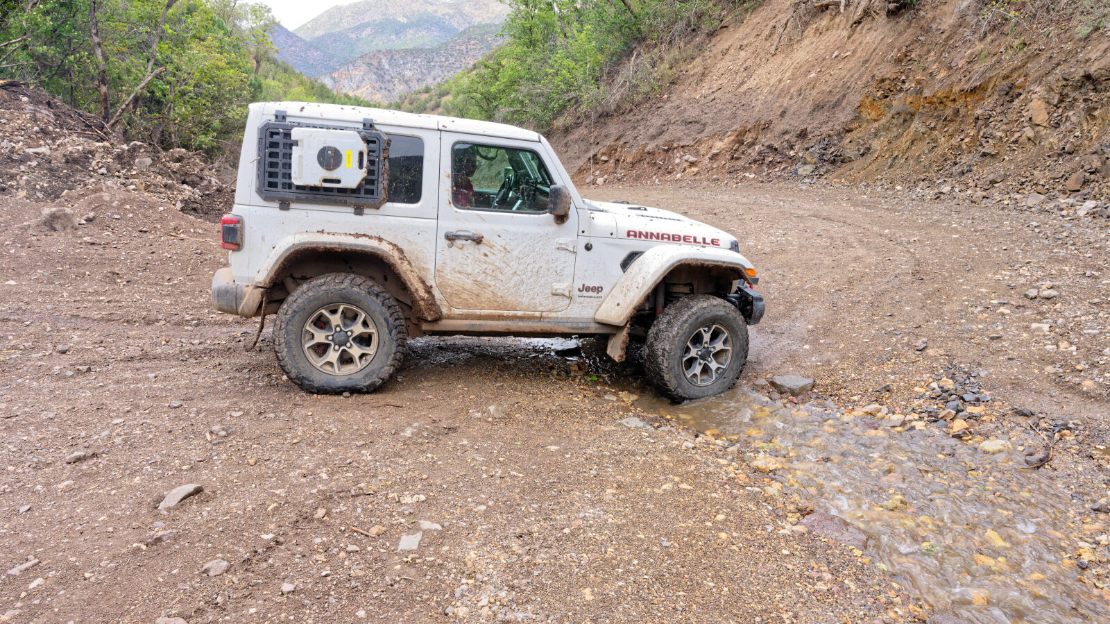
Hard spot with a small creek crossing that looks washed out by past flooding. Be careful if it is raining.
Waypoint 30 (38.58127, -112.08168)
The canyon shows signs of a large flash flood or debris flow.
Waypoint 31 (38.59334, -112.07773)
Waypoint 32 (38.59499, -112.07775)
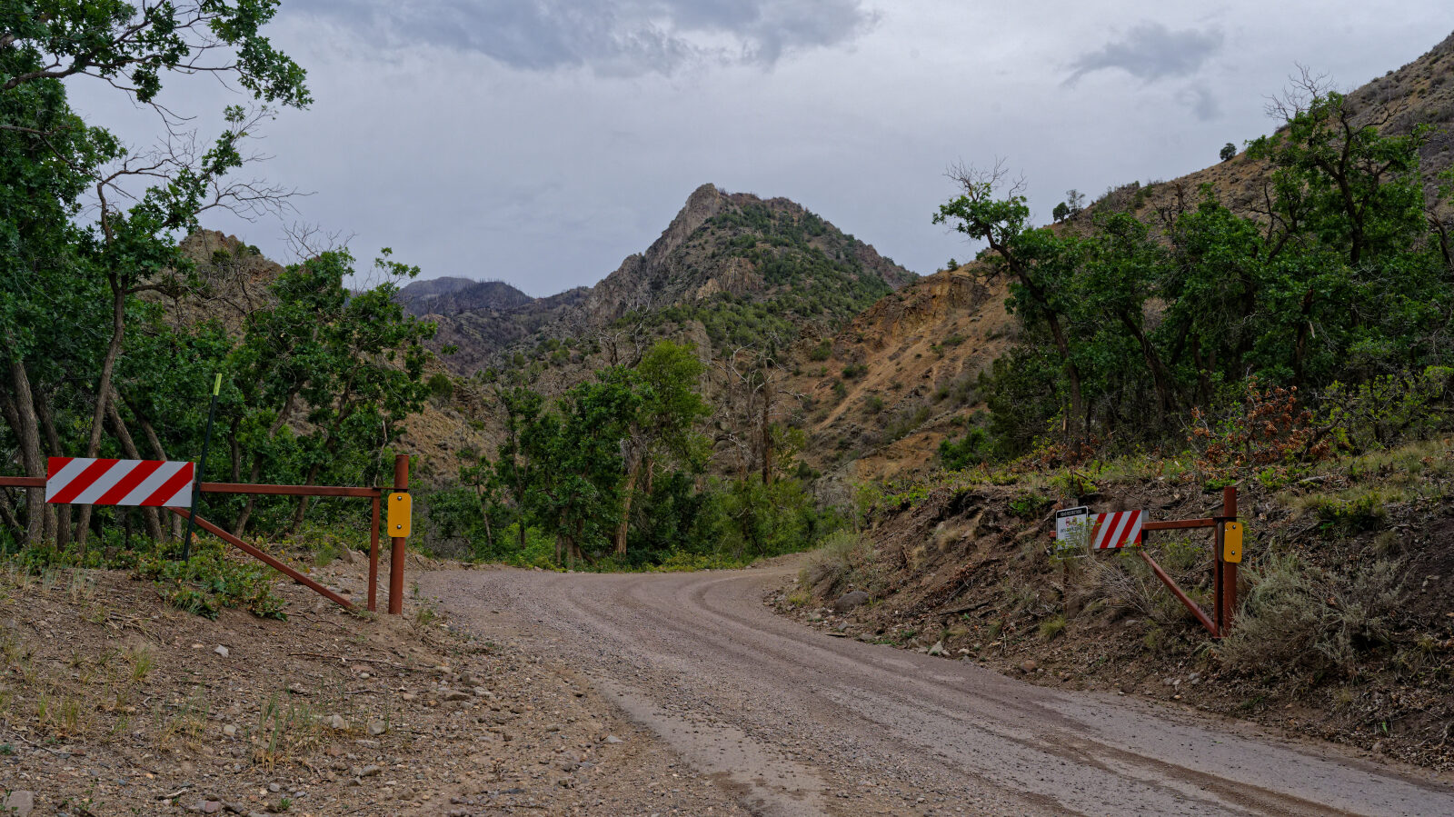
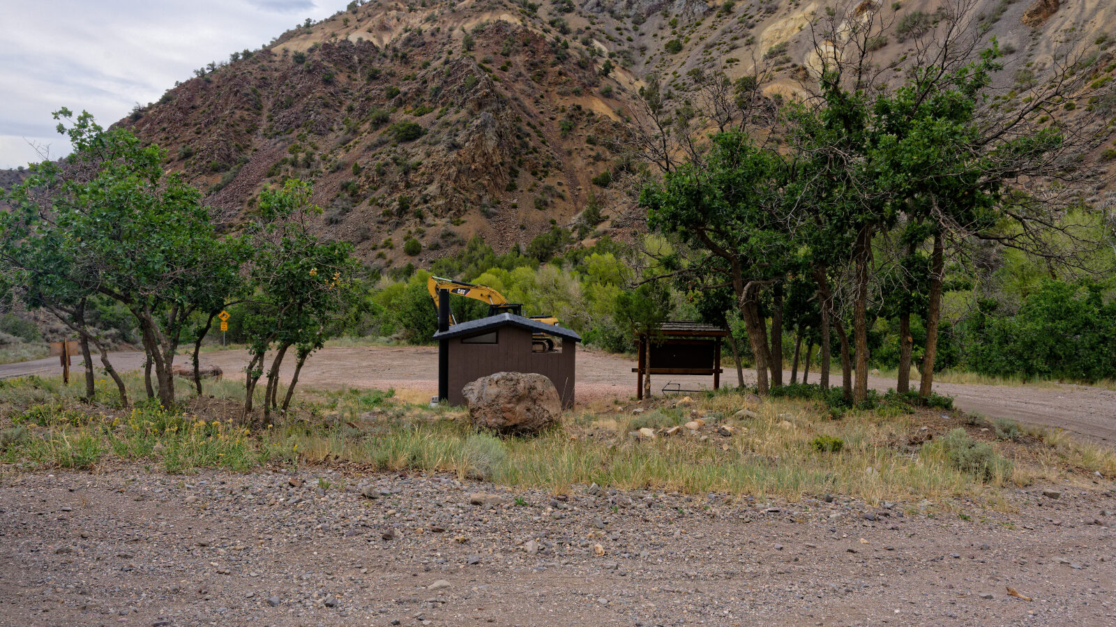
End of Monroe Canyon Road, with pit toilets at this end of the road.