Monroe Peak Road - Level 1
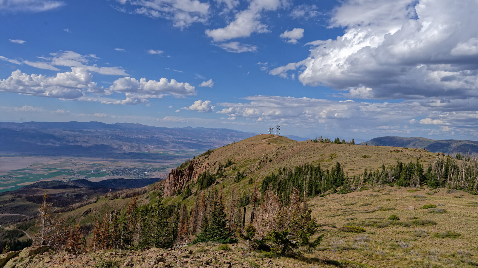
Monroe Peak Road climbs to the summit of Monroe Peak on the Monroe Mountain plateau in central Utah. The route follows Forest Service Trail 165 through high-elevation forest, with views opening up along the way.
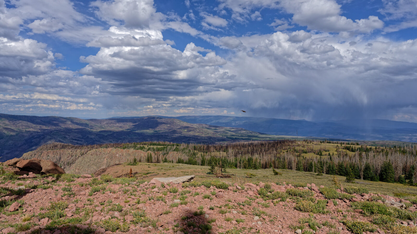
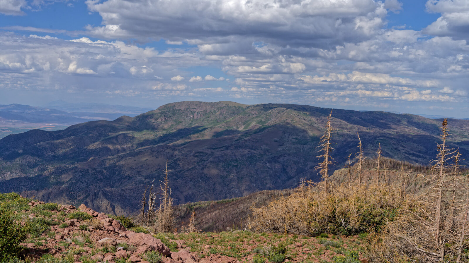
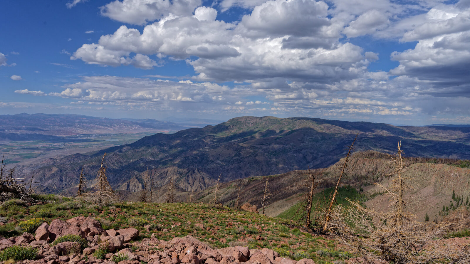
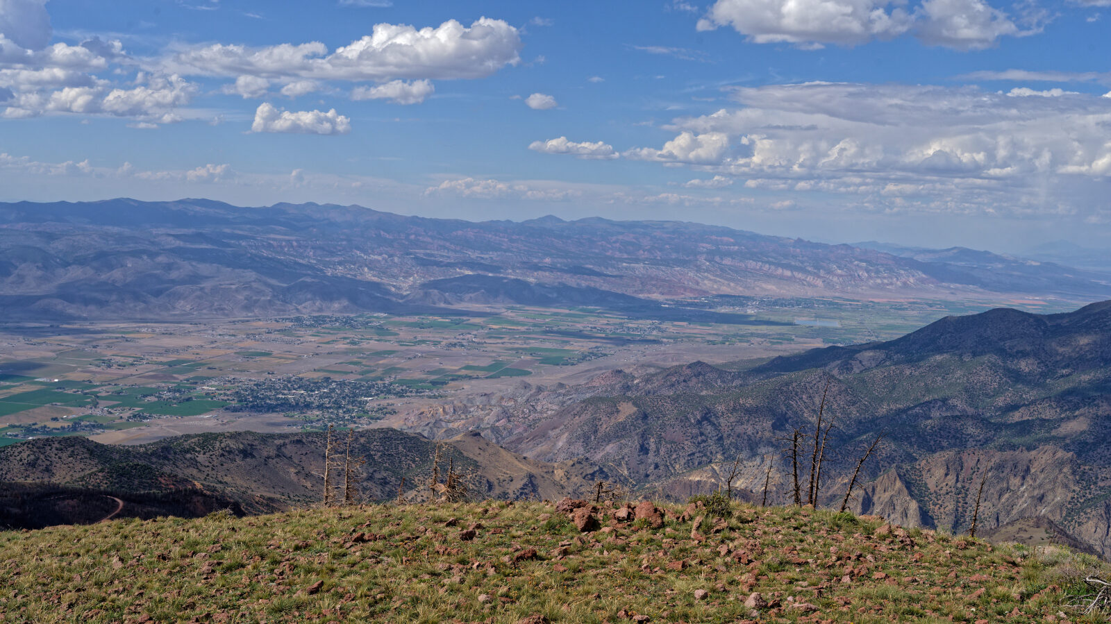
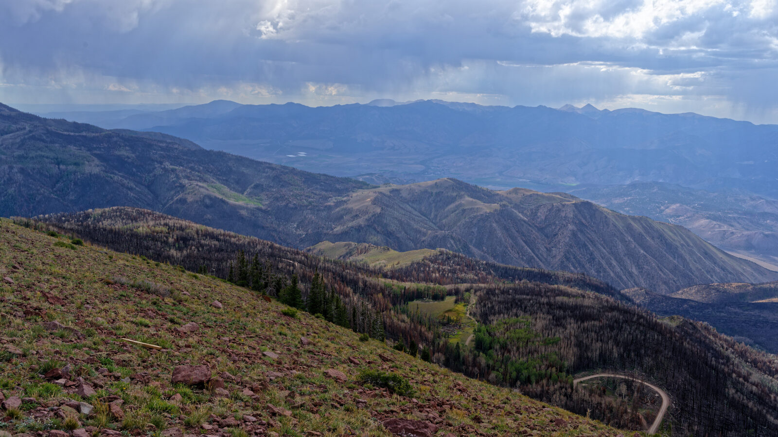
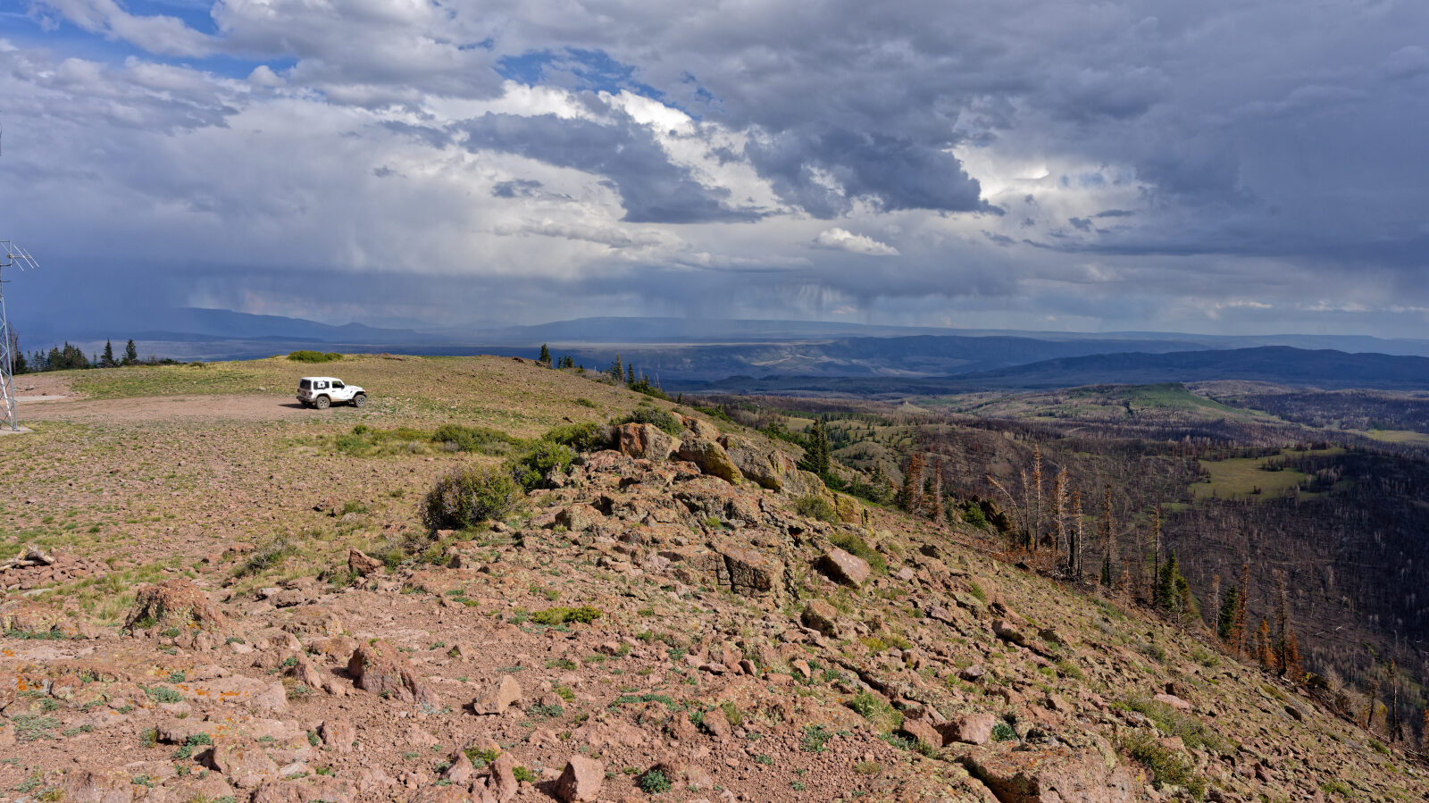
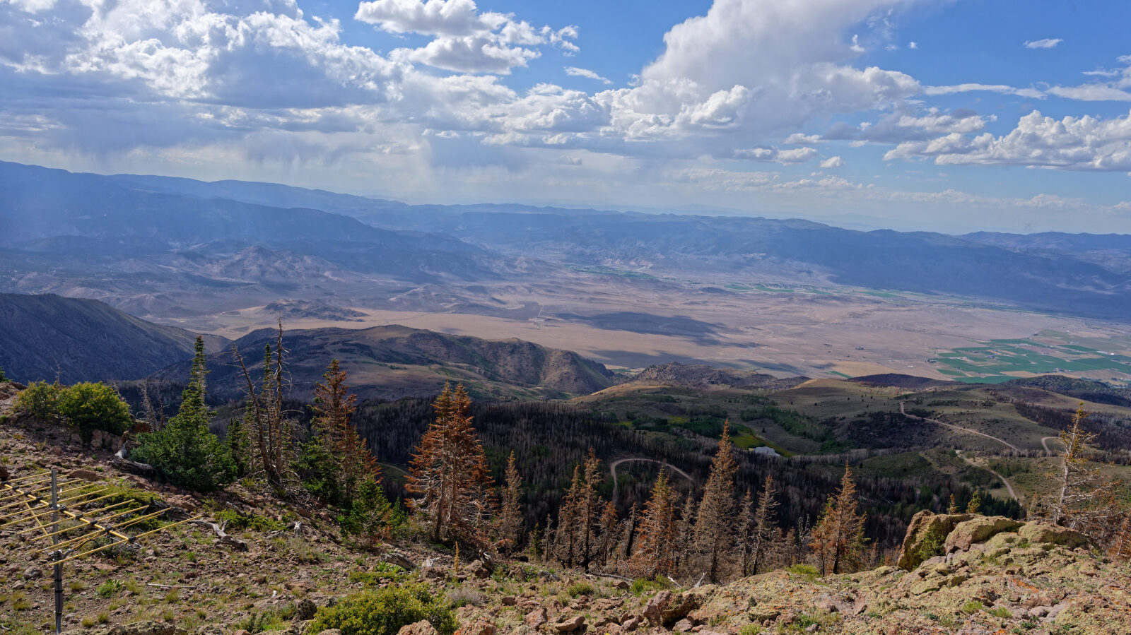
Much of the route now runs through burned timber from the 2025 Monroe Canyon Fire, so the scenery is more open than it used to be.
Trail Summary
- LocationSevier County, Utah
- Distance3.7 miles
- DifficultyLevel 1
- Elevation10,221 ft to 11,177 ft with a 956 ft change
- Travel Time27 minutes
Difficulty
Suitable for high clearance 2WD
This is an Easy, level 1 trail. Stock equipment is enough, and a high clearance 2WD vehicle can drive it. The surface is dirt or rocky road with gentle grades and obstacles under 5 inches. The log calls out one spot as the hardest on the trail, still a level 1. It is a somewhat narrow shelf road, and some sections are single lane, so watch for oncoming traffic.
Terrain
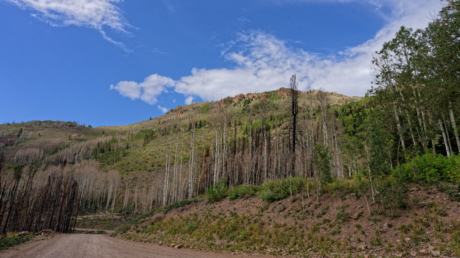
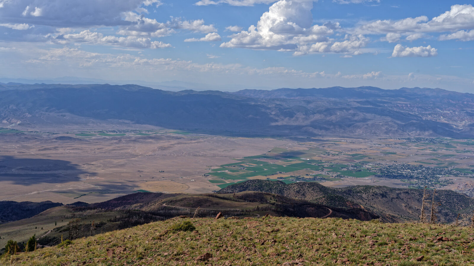
The road is dirt and rock, built as a shelf road along the mountain in places. Parts of it are wide enough for about a vehicle and a half, and other parts narrow to a single lane. Along the upper stretches the road passes through standing burned trees left by the 2025 Monroe Canyon Fire. The fire burned across Monroe Mountain within the Fishlake National Forest.
Highlights
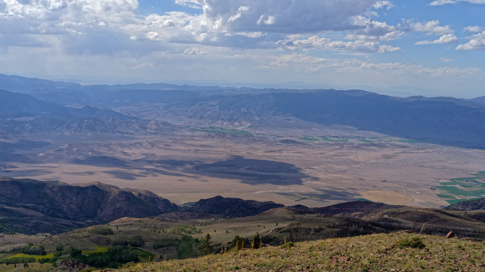
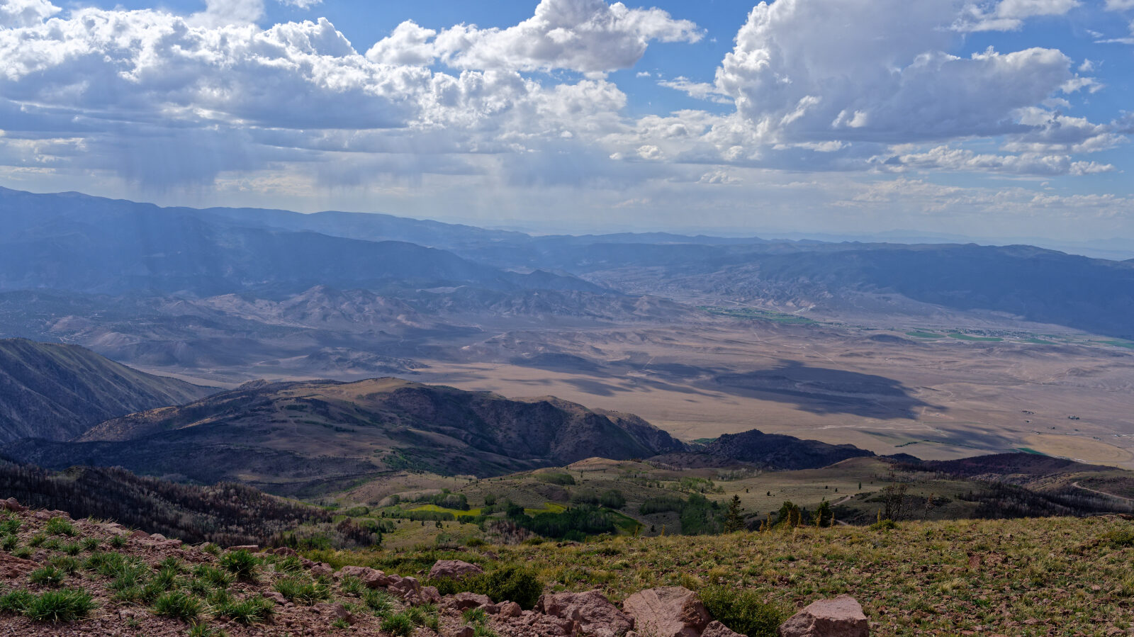
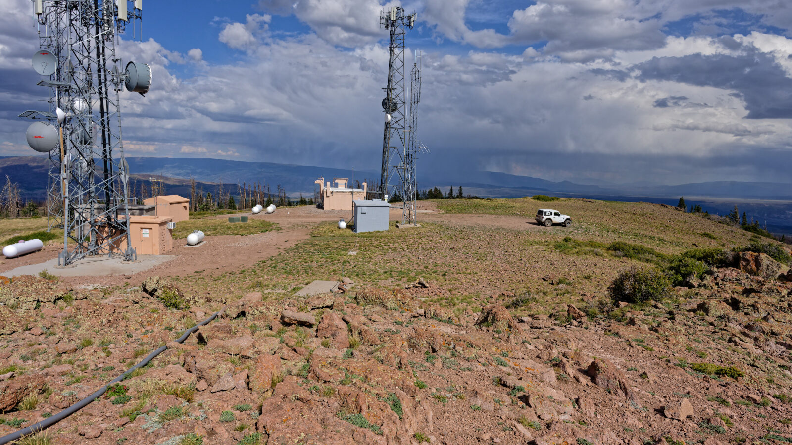
Monroe Peak carries communications infrastructure, which was threatened during the fire. The burned slopes give wide views across the plateau. Camping is not allowed on this trail.
Map
The interactive map needs JavaScript. Every waypoint is also listed below.
Waypoints
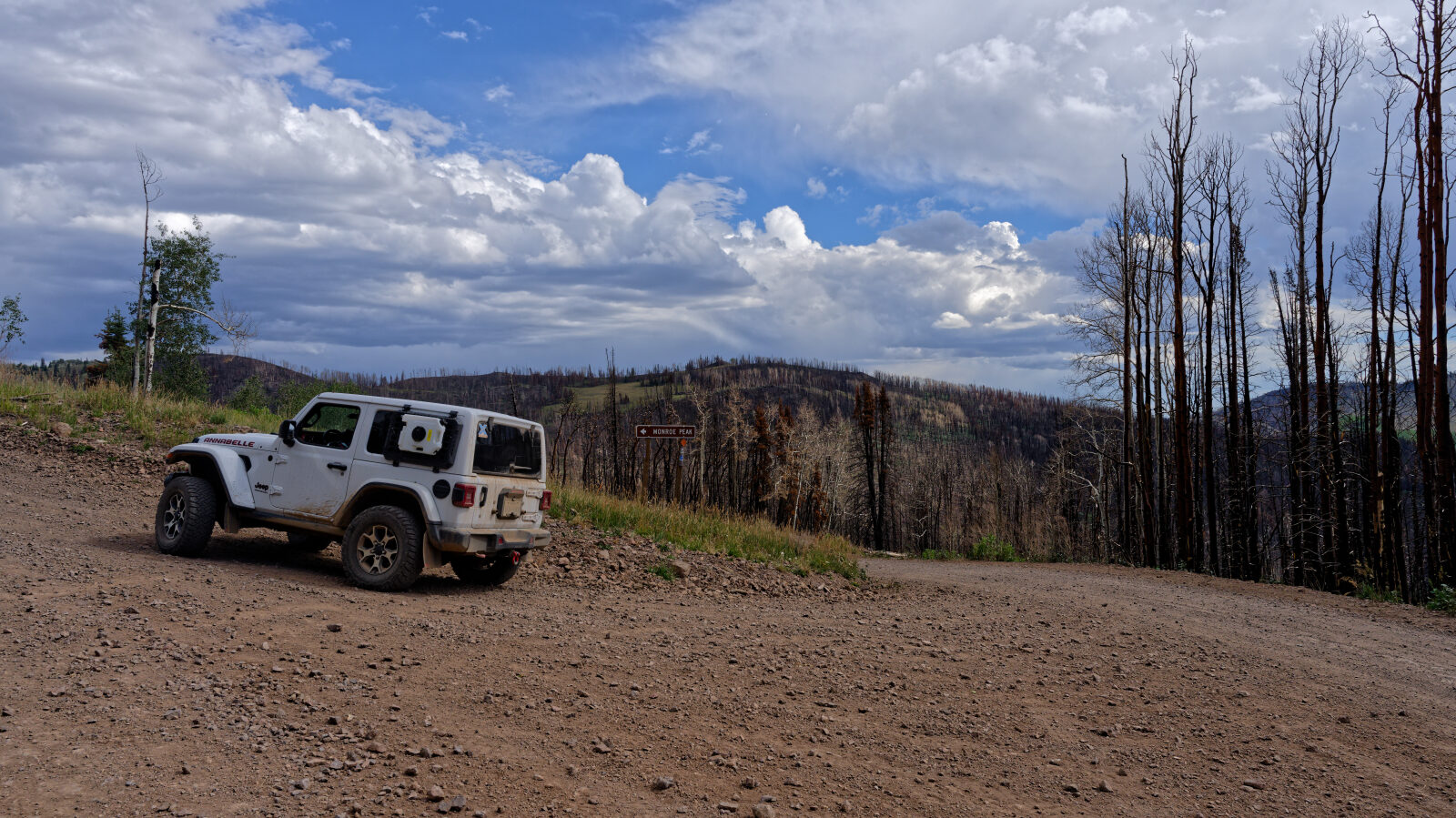
Waypoint 1 (38.52982, -112.07276)
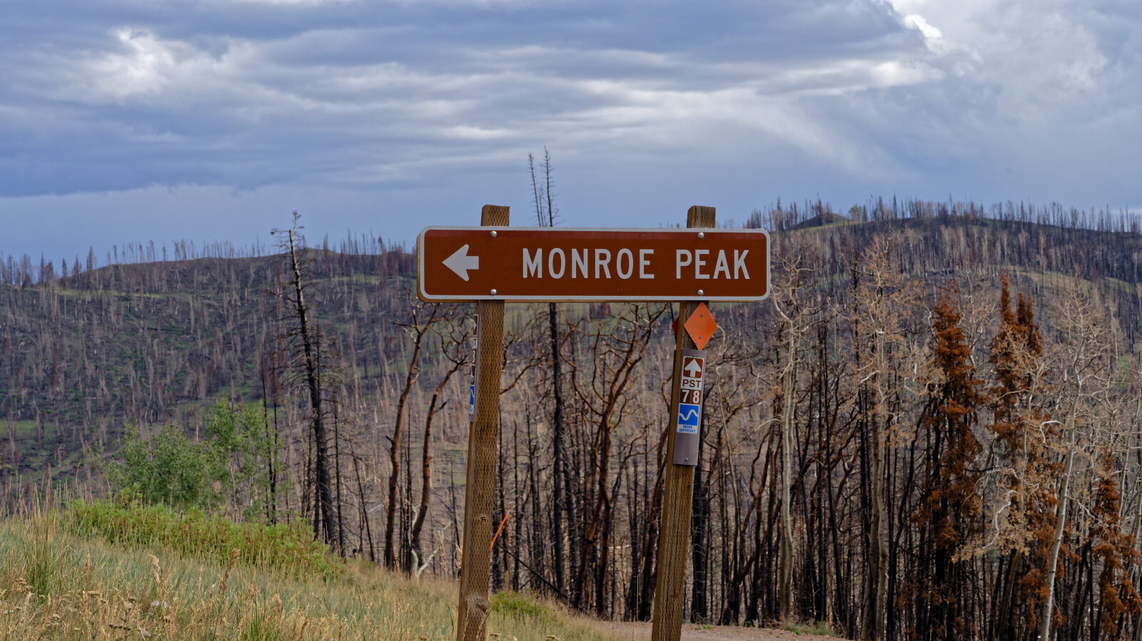
Start of Trail 165, Monroe Peak.
Waypoint 2 (38.53404, -112.06424)
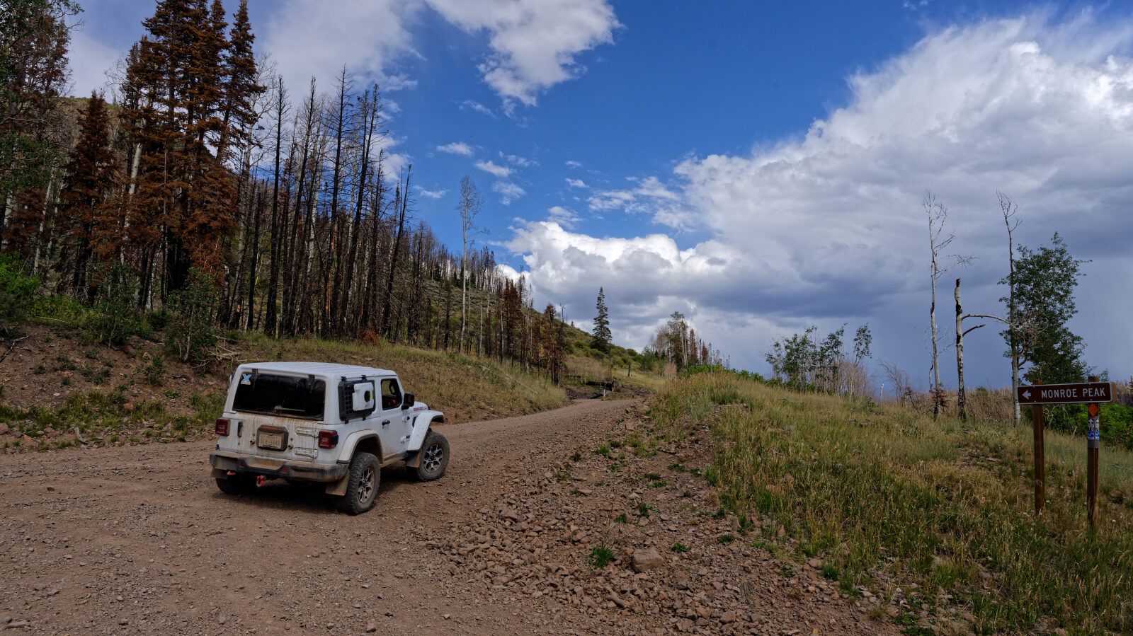
A shelf road section. It is not particularly narrow and fits about a vehicle and a half. It is an easy shelf road.
Waypoint 3 (38.53954, -112.05975)
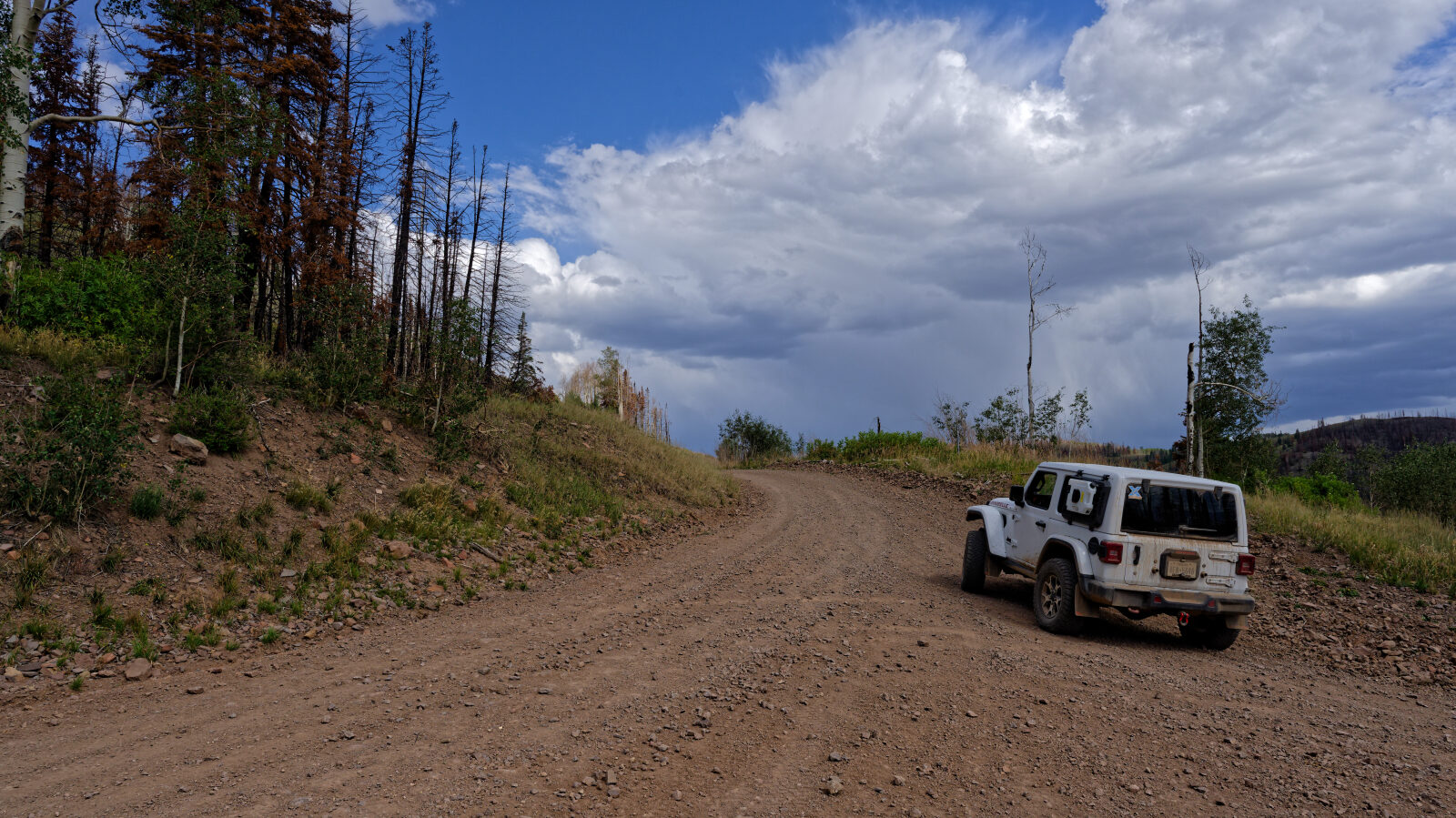
The hardest spot on the trail, still level 1. It is a somewhat narrow shelf road with some single lane parts, so watch for oncoming traffic.
Waypoint 4 (38.54118, -112.06242)
The trail runs through burnt trees from the Monroe Canyon Fire.
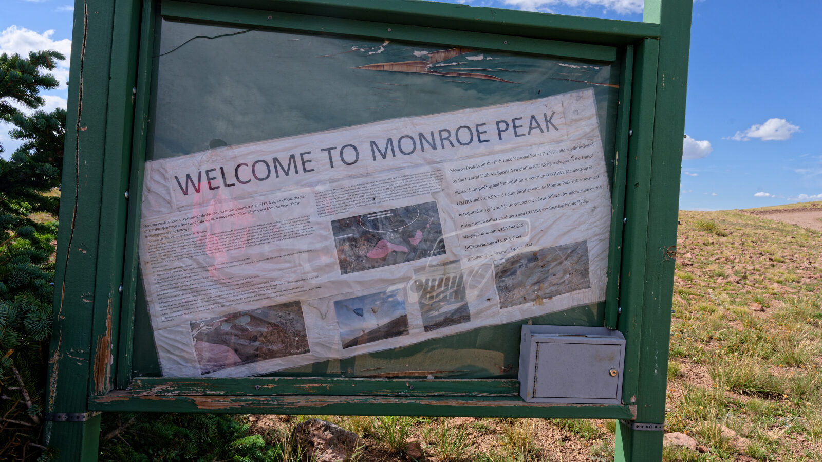
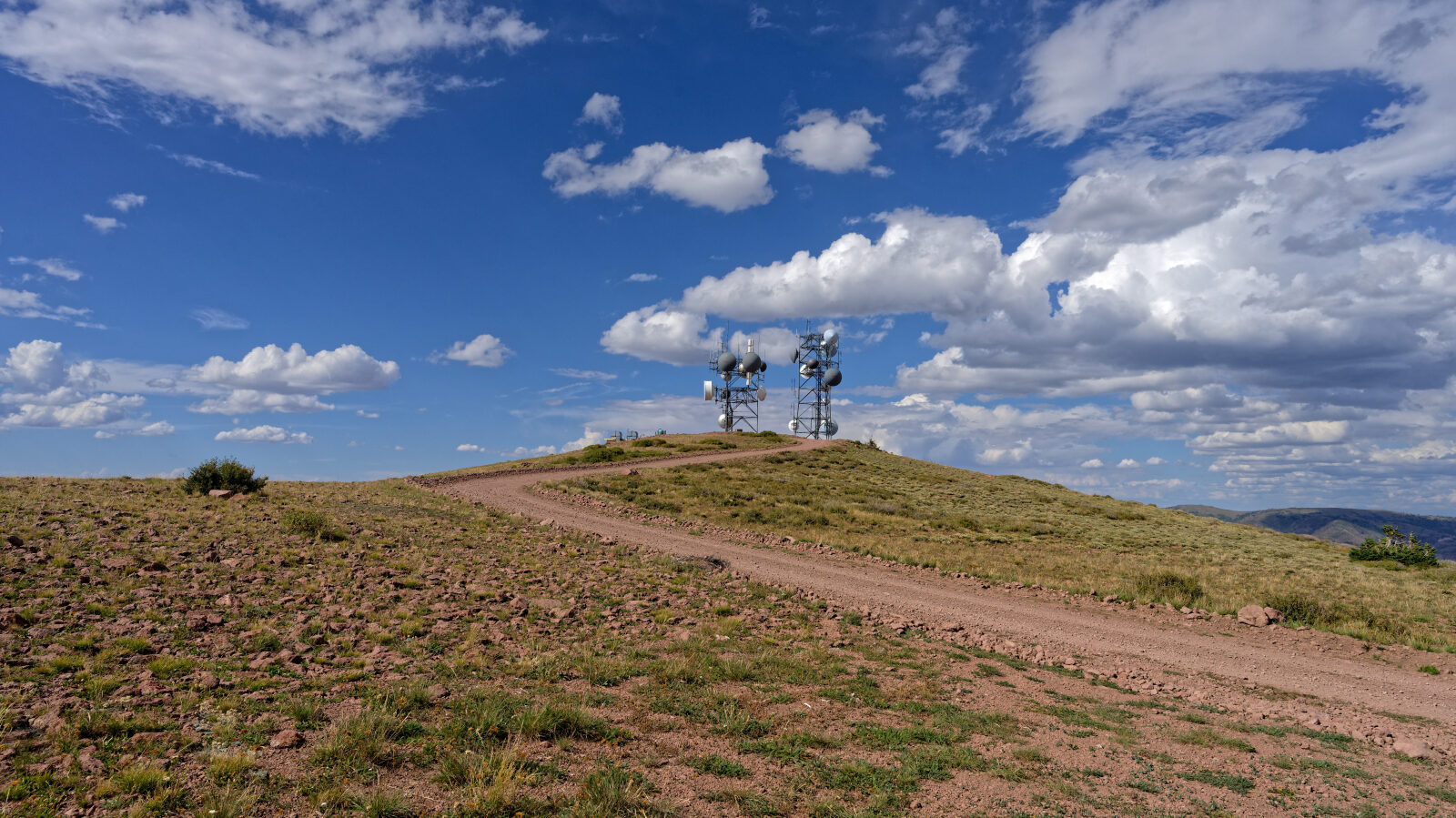
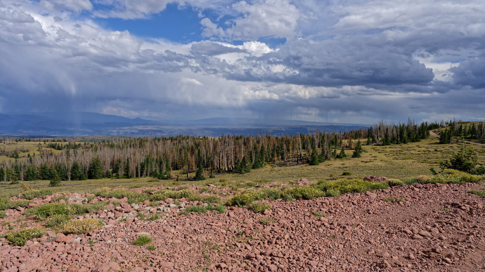
Waypoint 5 (38.54042, -112.07320)
Waypoint 6 (38.54185, -112.07305)
Waypoint 7 (38.53586, -112.07279)
No camping on this trail.