Muddy Creek - Level 3
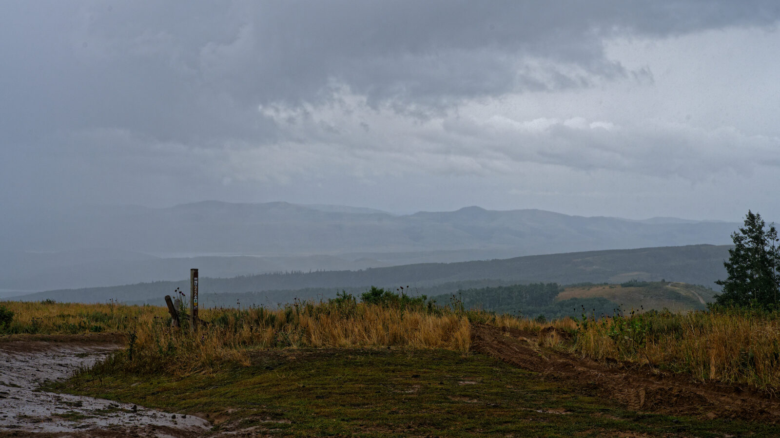
Muddy Creek is a forest road in the Wasatch Mountains of northern Utah, east of Heber City and Provo. It climbs through drainages and stands of aspen and conifer on the way to higher country.
The route links a lower trailhead with a high point near the crest. It is a quiet option for a short backcountry drive.
Trail Summary
- LocationWasatch County, Utah
- Distance3.8 miles
- DifficultyLevel 3
- Elevation7,733 ft to 9,120 ft with a 1,387 ft change
- Travel Time25 minutes
Difficulty
Best suited for a high clearance 4x4
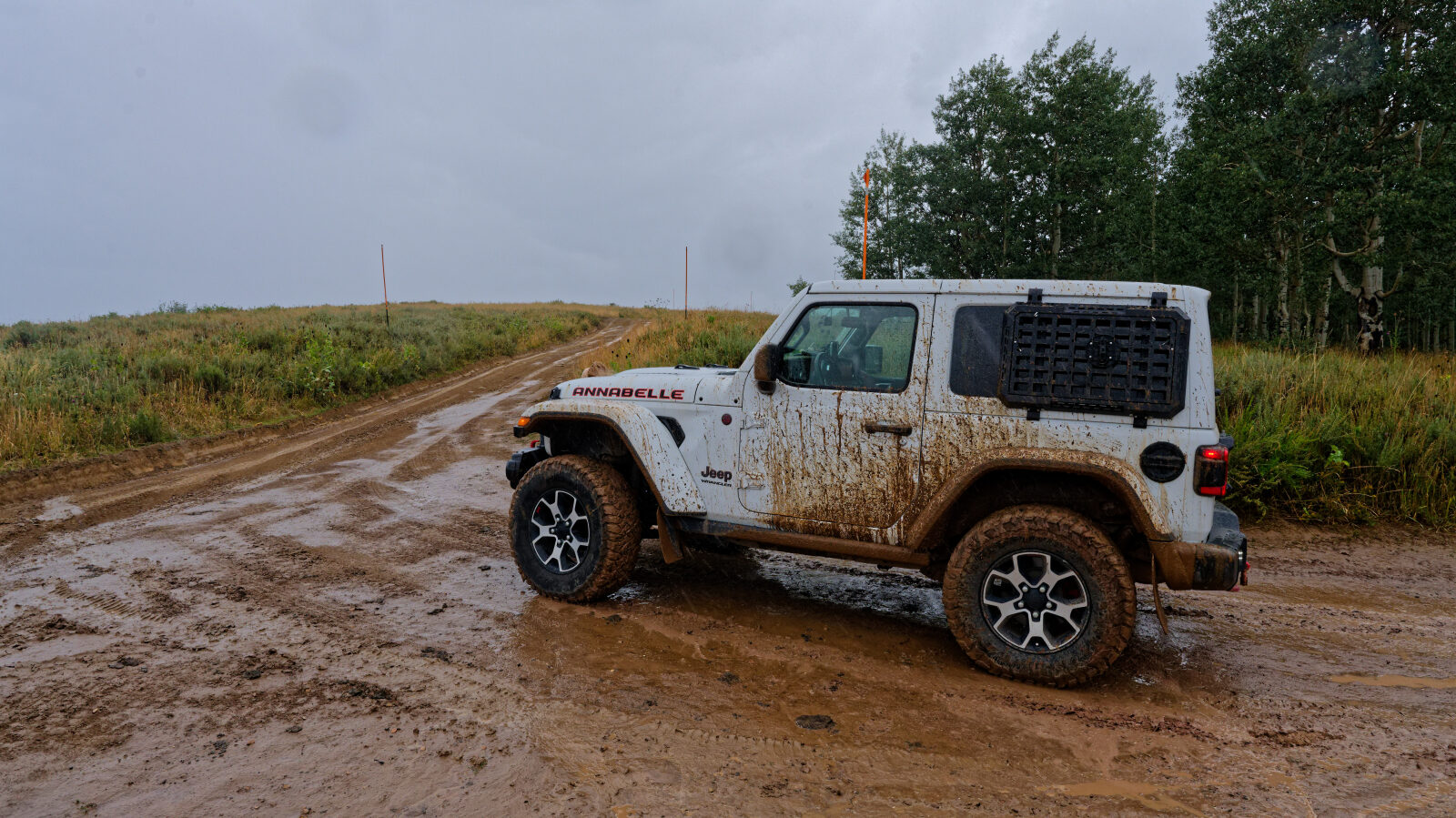
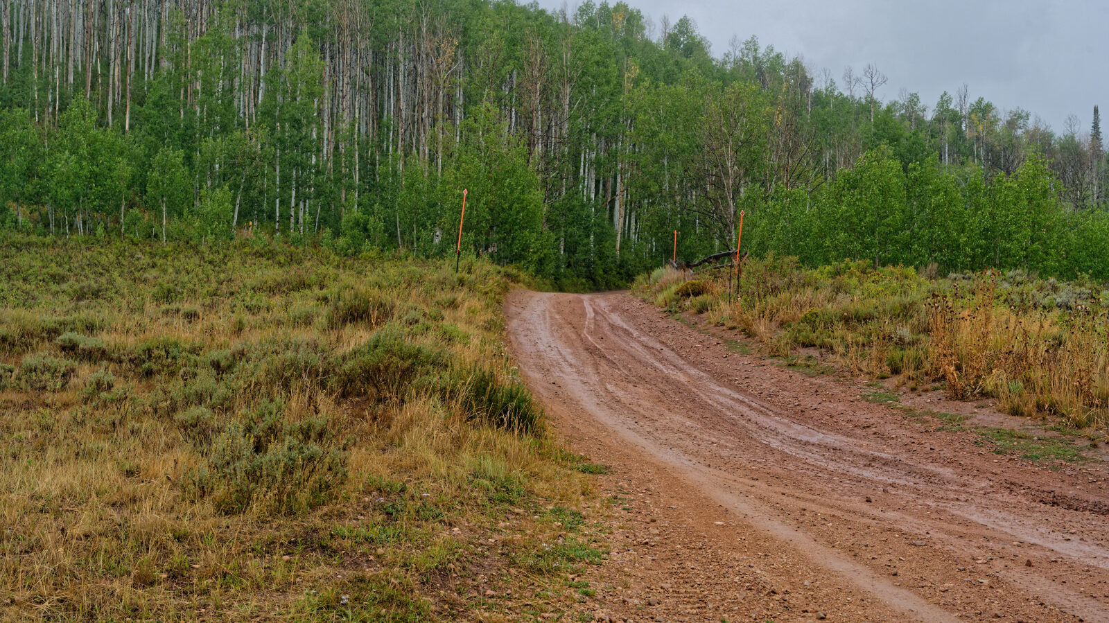
This trail is rated Moderate (level 3), best suited to a high clearance 4x4. Expect an uneven, rutted dirt surface with possible loose rocks and sandy washes. Ledges, short steep grades and mud holes may be up to about 12 inches. Water crossings should be less than a foot deep. The road is generally one vehicle wide with places to pass, and careful tire placement may be needed. The driver reported no obstacles, water crossings or mud holes that need special attention.
Trail GPS File
Map
The interactive map needs JavaScript. Every waypoint is also listed below.
Waypoints
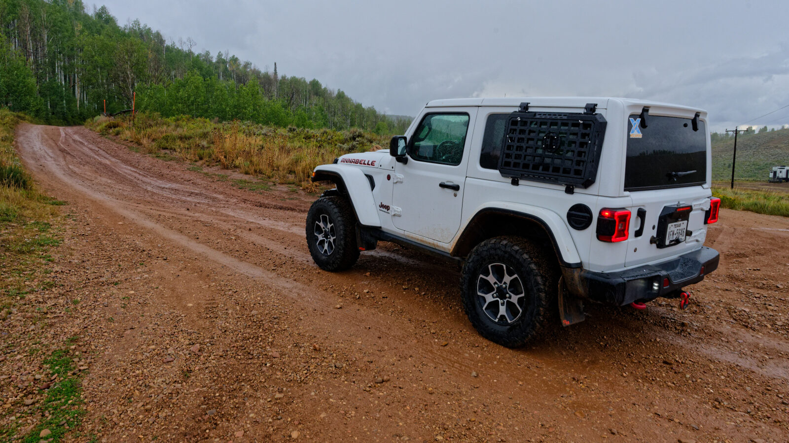
Waypoint 1 (40.20242, -111.19913)