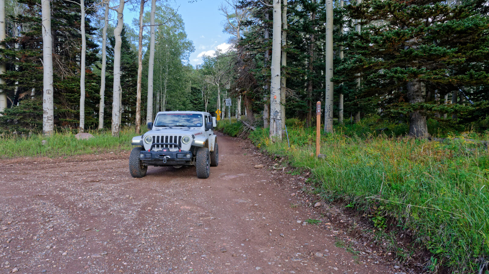
Navajo Ridge - Level 1
Navajo Ridge Road is a Forest Service road in the high country of southwestern Utah, near Brian Head, within Dixie National Forest. It climbs along a ridge above the Cedar Breaks area and links a developed camping area with a string of dispersed sites along the way.
The road runs through a mix of open ground and timber. Camping is a major draw here, and the route is easy to fit into a weekend stay in the area.
Trail Summary
- LocationIron County, Utah
- Distance2.4 miles
- DifficultyLevel 1
- Elevation9,618 ft to 10,248 ft with a 630 ft change
- Travel Time16 minutes
Difficulty
Suitable for high clearance 2WD
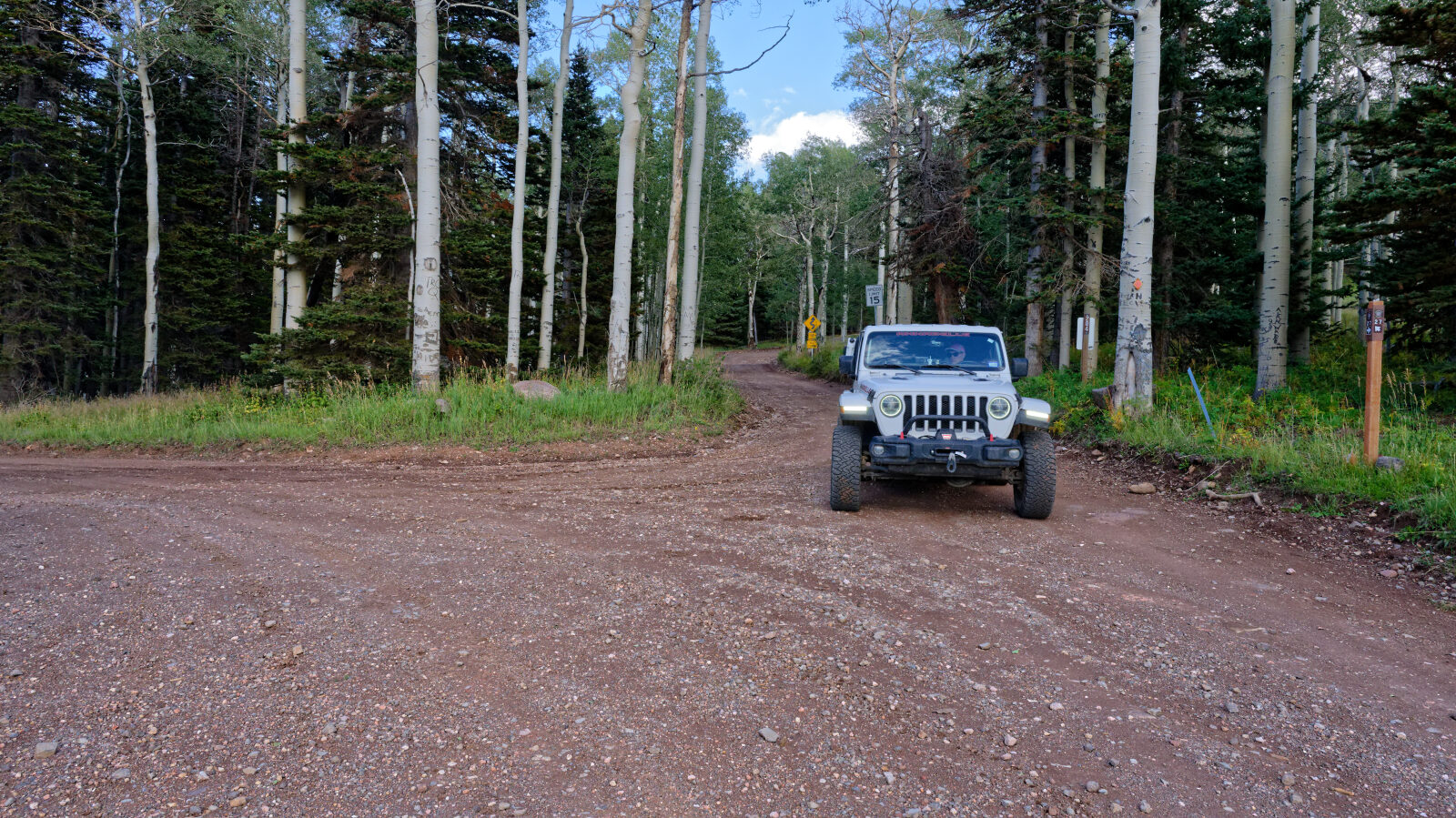
Level 1 is an easy rating. Stock equipment is enough, and no special gear is needed. Expect dirt or rocky road with gentle grades and good traction. Obstacles such as rocks, dips or ruts stay under 5 inches. Most 4WD and high-clearance 2WD vehicles can drive it, and the road is typically two vehicles wide. The driver noted one spot as a hard spot, but even there it stays at Level 1.
Terrain
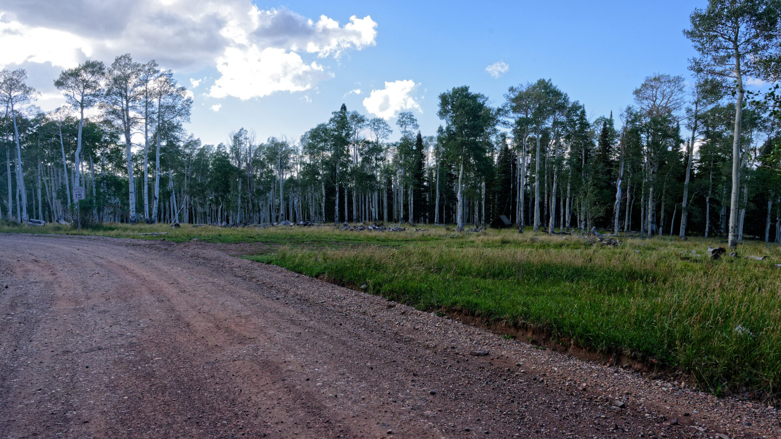
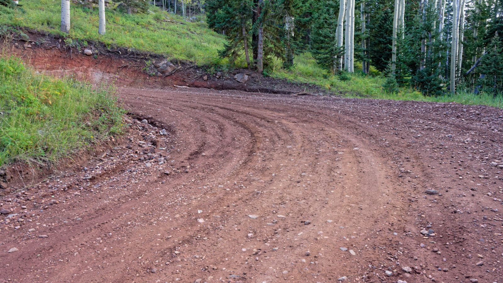
The surface is dirt and rock, with open stretches and shaded timber along the ridge. The road sits at high elevation, so conditions can change with weather. The route passes close to ski resort land.
Highlights
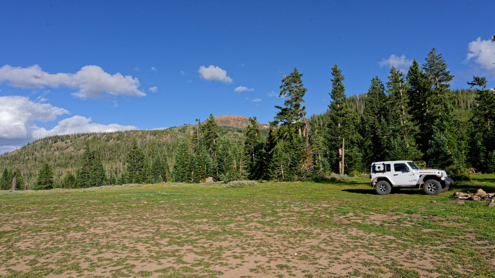
Camping is the main feature. The driver passed well over a dozen campsites along the road. Some are shaded and private, and others are open and exposed. Several can hold groups. A developed area near the start has pit toilets.
Map
The interactive map needs JavaScript. Every waypoint is also listed below.
Waypoints
Waypoint 1 (37.68280, -112.85590)
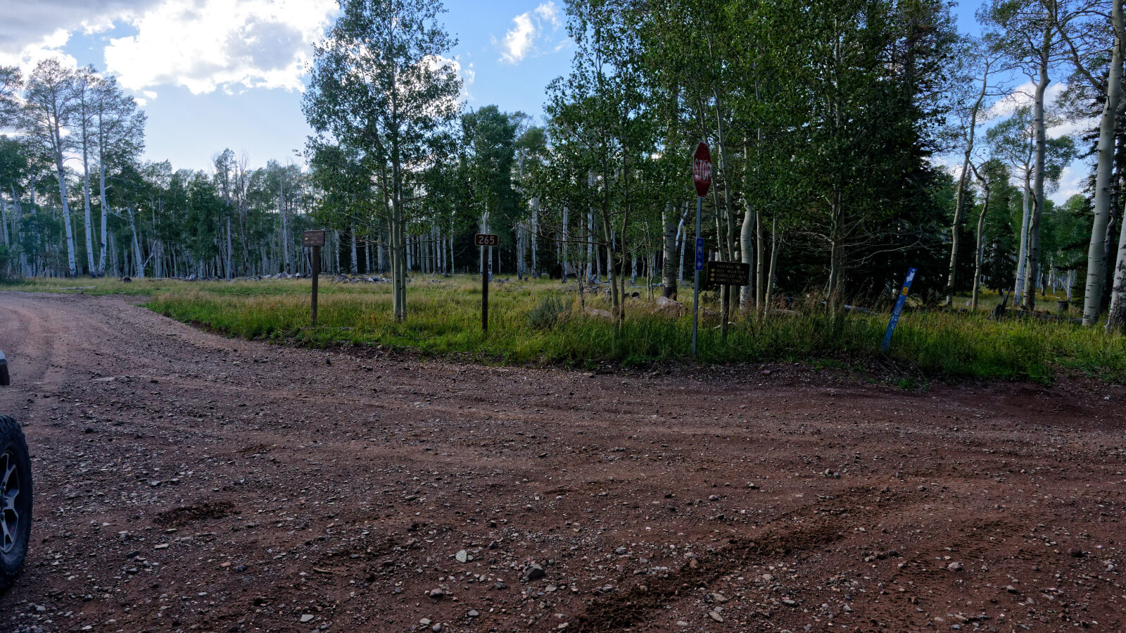
Start of trail 30204, Navajo Ridge Road.
Waypoint 2 (37.68132, -112.85743)
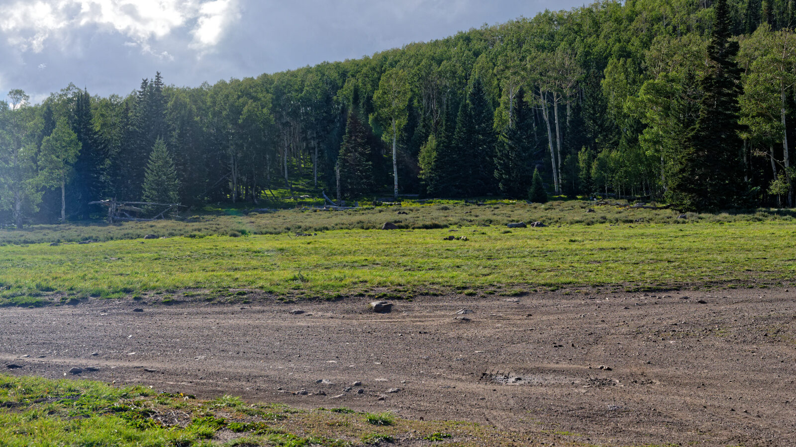
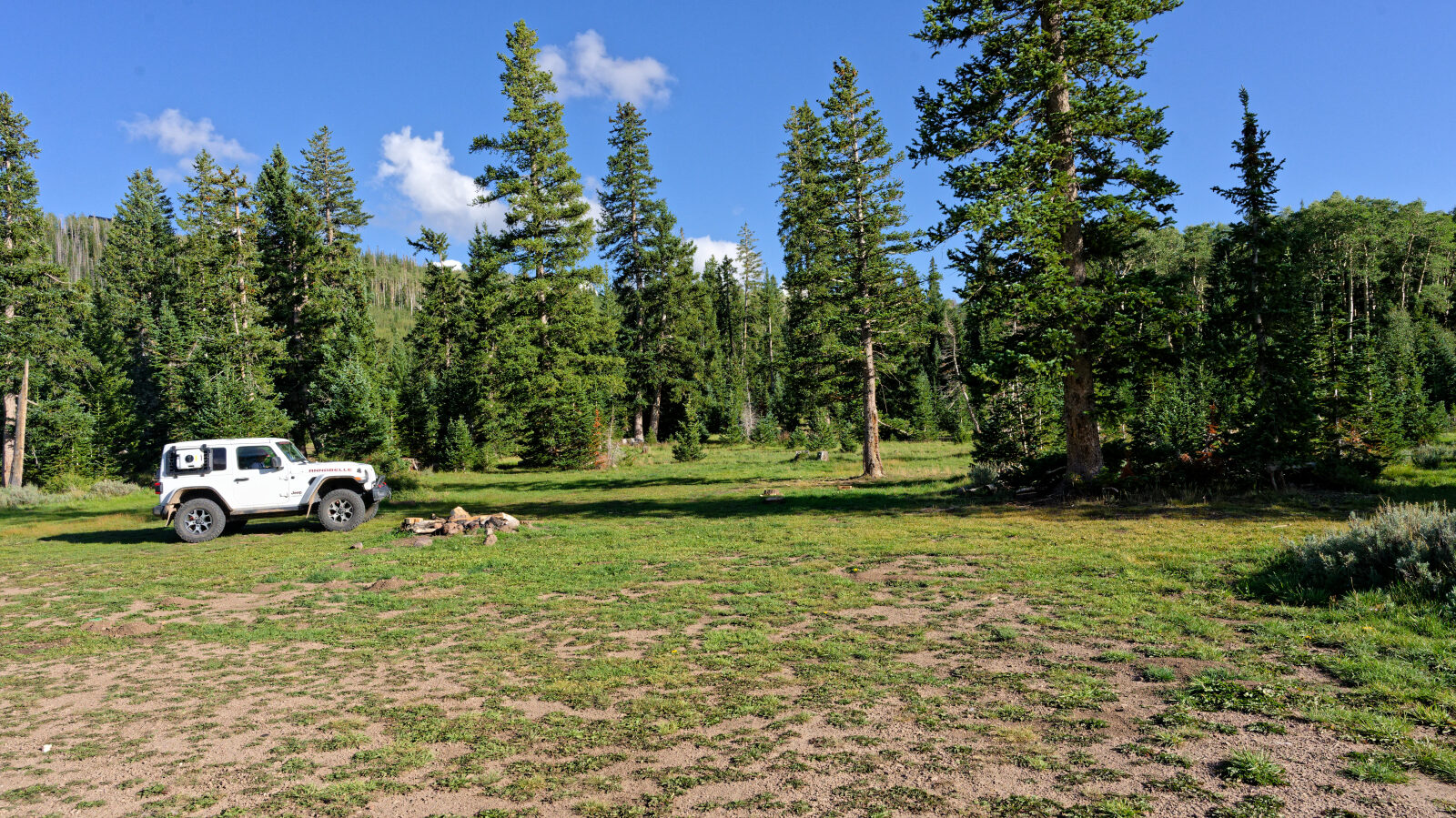
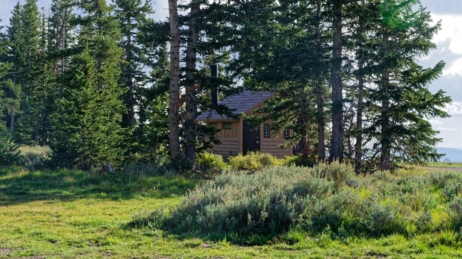
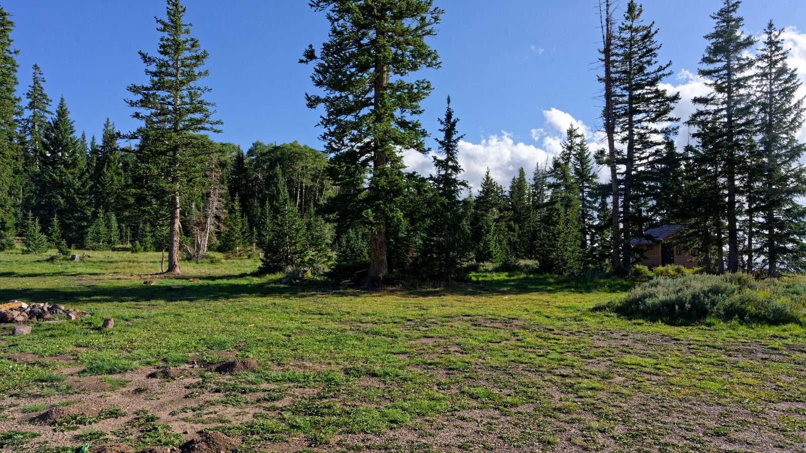
Three campsites here, maybe more, with no shade or privacy. Two can hold group campers. Pit toilets are also here.
Waypoint 3 (37.68232, -112.85825)
Shaded campsite close to the road with little privacy. It probably fits two rigs.
Waypoint 4 (37.68817, -112.86102)
Easily over a dozen campsites passed so far. Many are private and quite a few are out in the open.
Waypoint 5 (37.69059, -112.86136)
The road crosses private property at the ski resort. Stay on the trail, because it looks easy to wander off but it is private.
Waypoint 6 (37.69383, -112.87571)
Waypoint 7 (37.69306, -112.87804)
A hard spot on the route, but still rated Level 1.