New Castle Pine Valley - Level 1
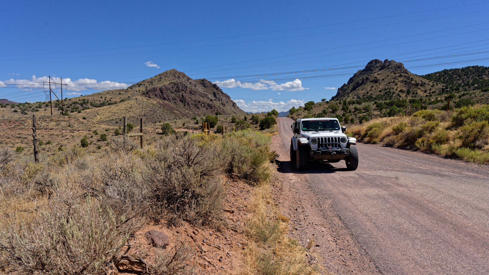
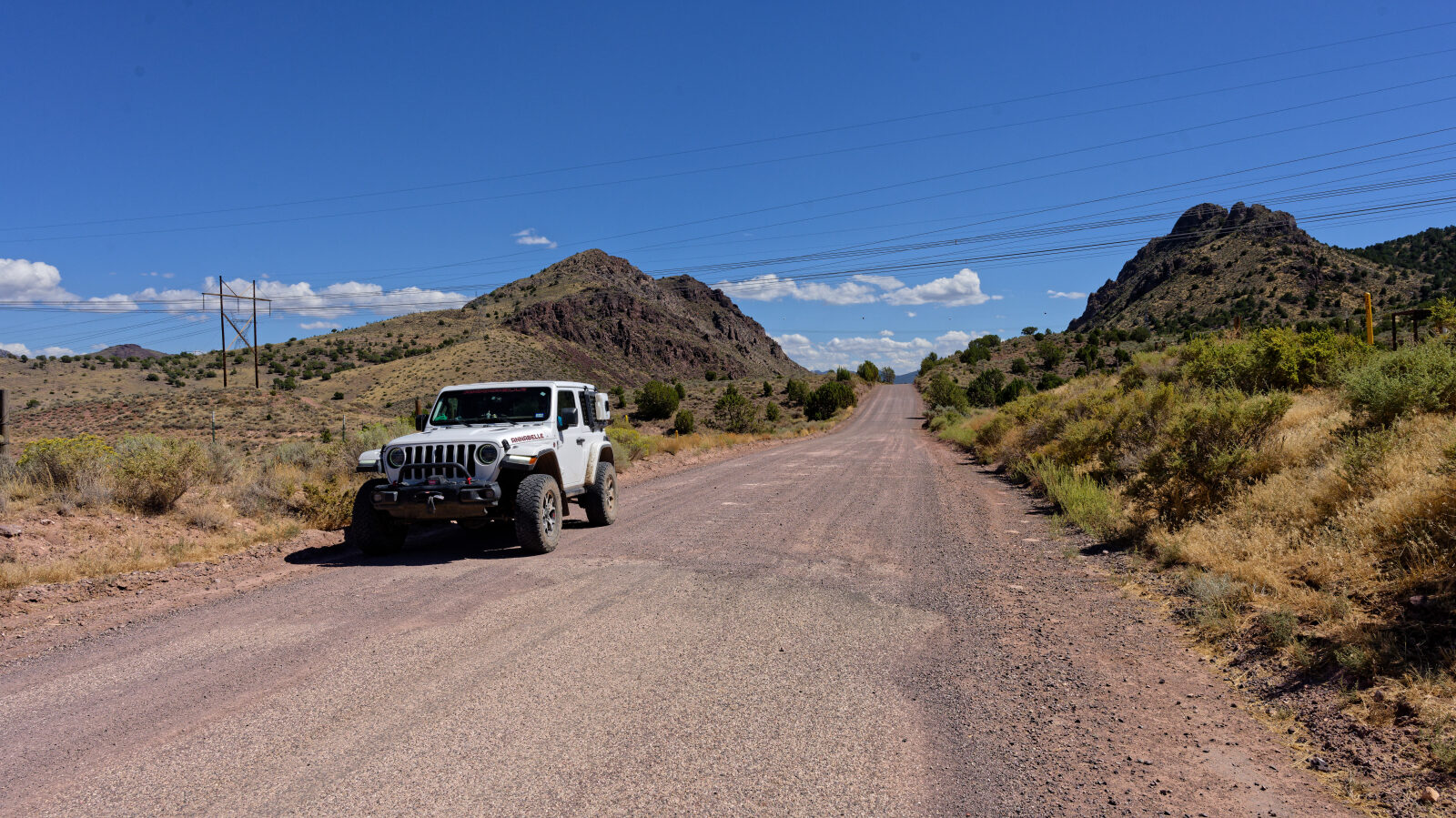
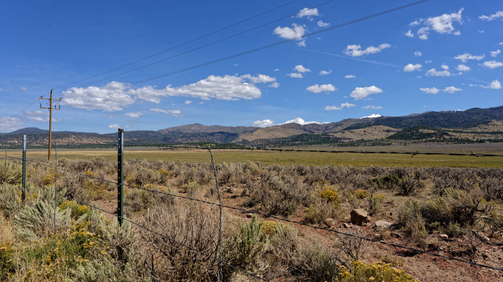
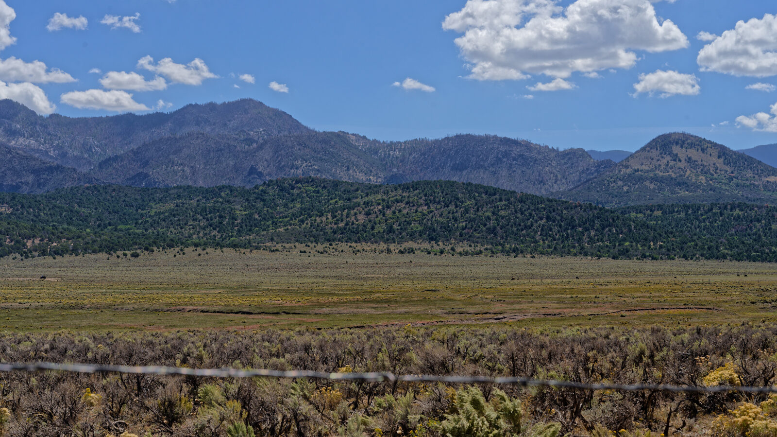
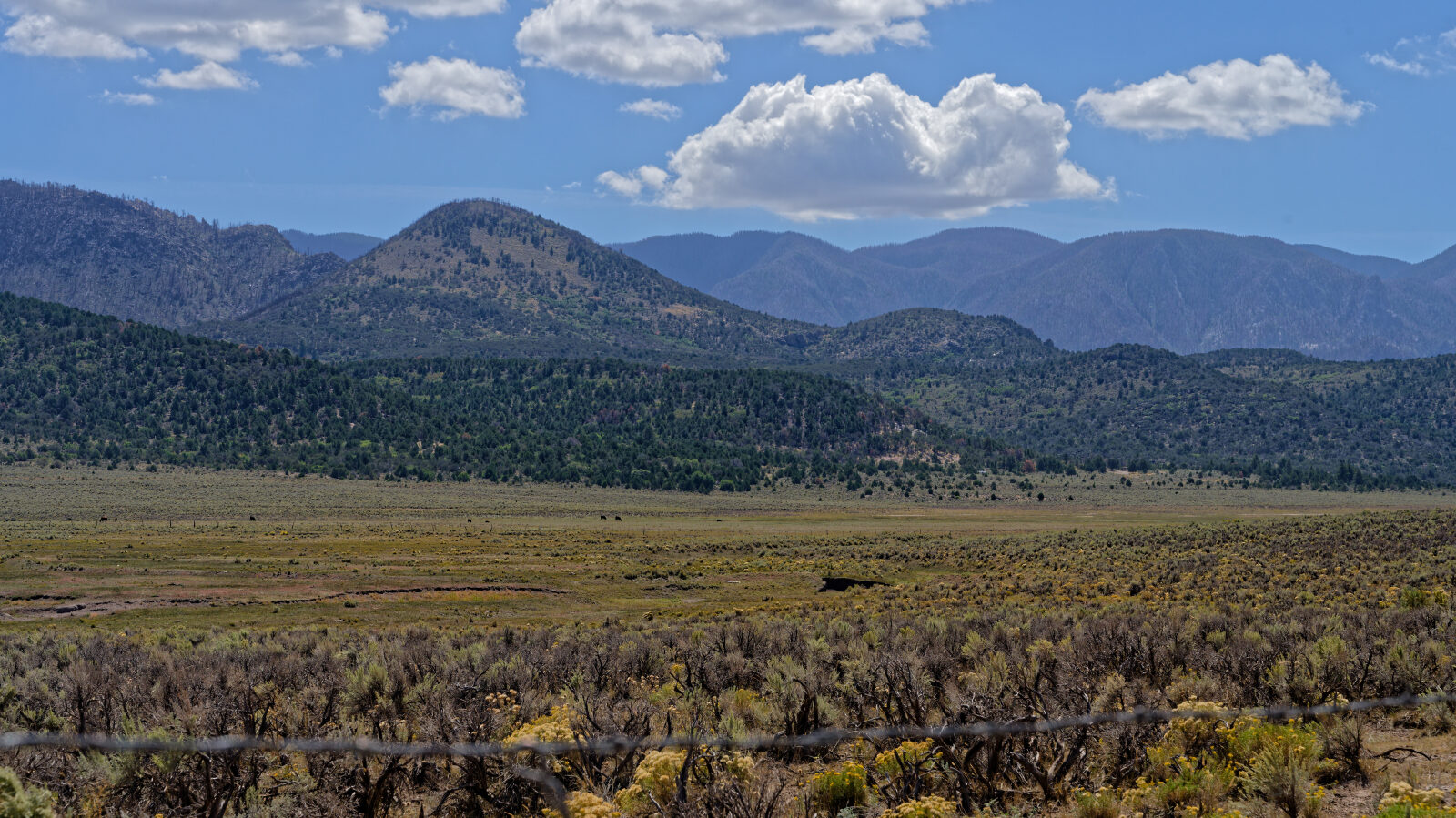
Forest Service Road 30011, also known as Grass Valley Road, runs north through the Pine Valley Mountains area of southwest Utah. It climbs from the lower desert country near the start into pine and oak forest, passing a mix of open meadows, dispersed camp spots and a few private parcels.
The road is used for general backcountry driving and for reaching camping around the Pine Valley side of the range. Much of the country along the route was affected by a recent wildfire, so the scenery changes noticeably as you go.
Trail Summary
- LocationWashington County, Utah
- Distance24.7 miles
- DifficultyLevel 1
- Elevation5,336 ft to 7,047 ft with a 1,711 ft change
- Travel Time1 hour 37 minutes
Difficulty
Suitable for high clearance 2WD
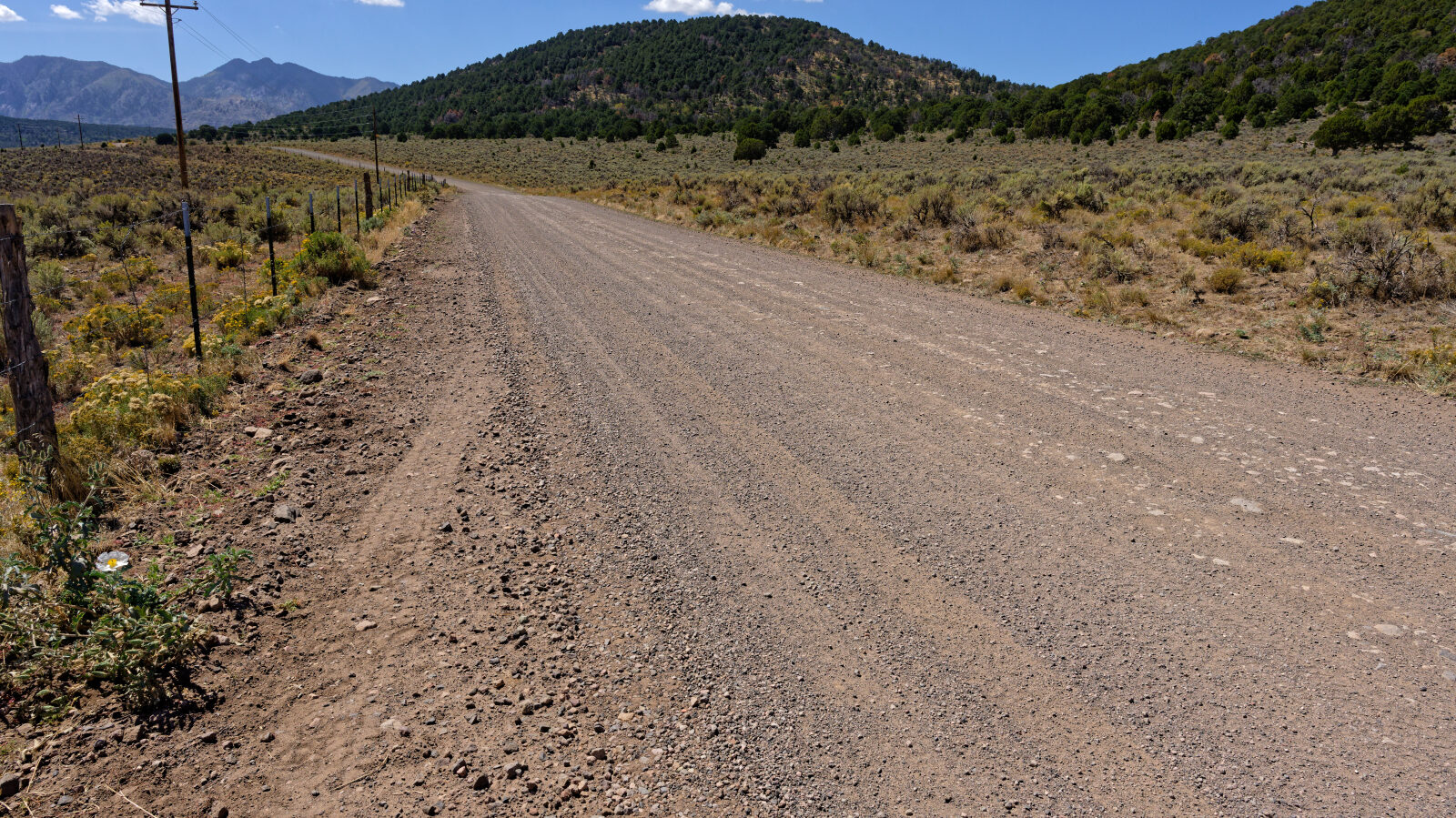
This is a level 1 trail, which is Easy. It is suitable for high clearance 2WD vehicles, and stock equipment is enough. Expect dirt and rocky road with gentle grades, good traction and only small challenges such as rocks, dips or ruts under 5 inches. The road is typically two vehicles wide. One shelf section is about two Jeeps wide, where passing is possible but you should watch for oncoming traffic. This is routine for the trail.
Terrain
The surface is dirt and rock road with gentle grades, climbing steadily through the elevation range of the route. The road includes a shelf section cut along a hillside, then moves through forested and open valley terrain. Parts of the route pass through burned slopes, where the ground is exposed and the vegetation is recovering. A stretch of the road crosses private property on a public road easement.
Highlights
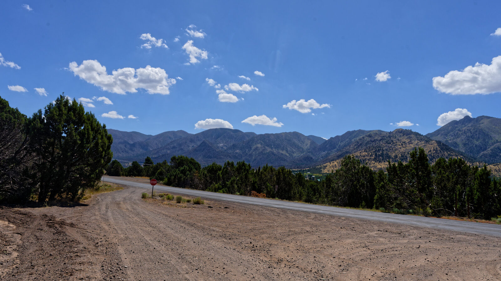
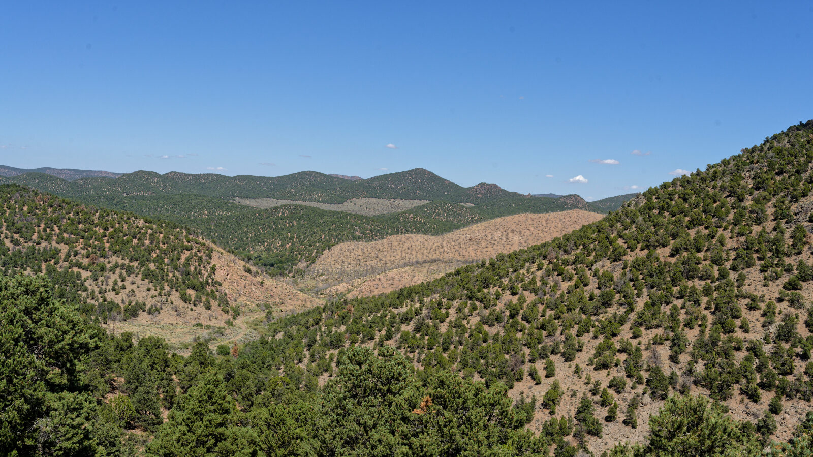
Burn scars are visible from the road. The log's research notes say the area burned in the 2025 Forsyth Fire, which covered over 15,600 acres in the Pine Valley and Grass Valley area and was contained in July 2025. Flooding followed in October, and Forest Service crews have planted Ponderosa pine seedlings and done slope stabilization. Dispersed camping is available at several spots along the route, with varying shade and privacy, and a sanitation station near the northern end suggests more camping nearby.
Map
The interactive map needs JavaScript. Every waypoint is also listed below.
Waypoints
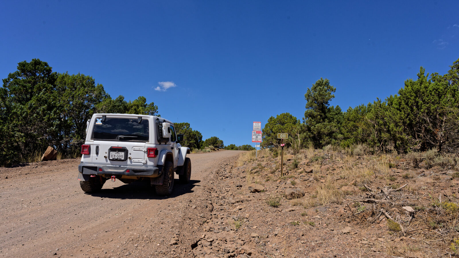
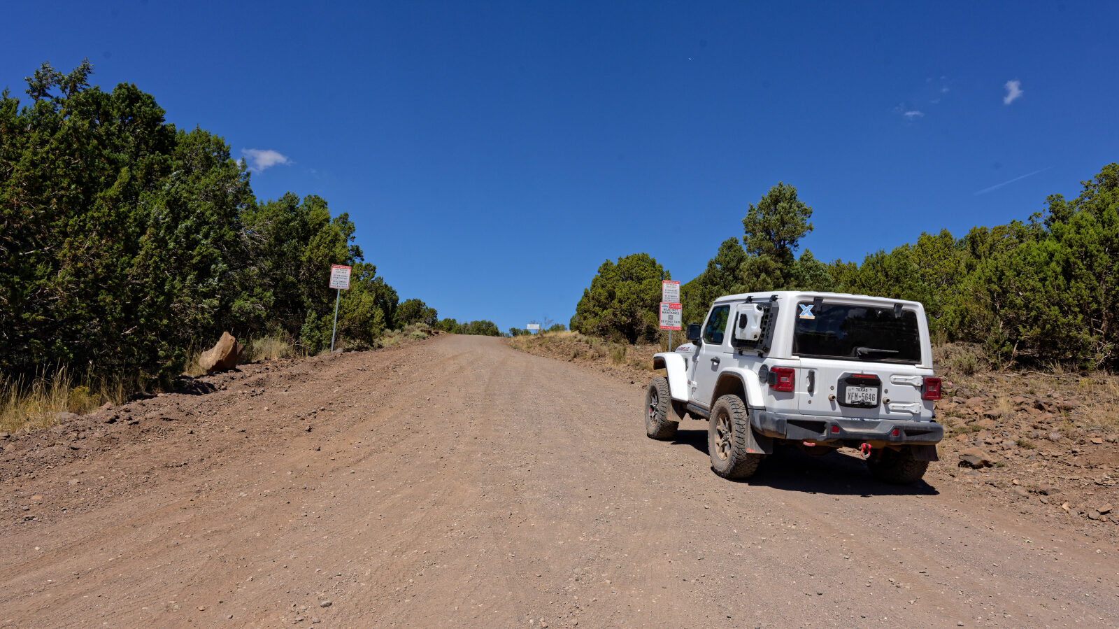
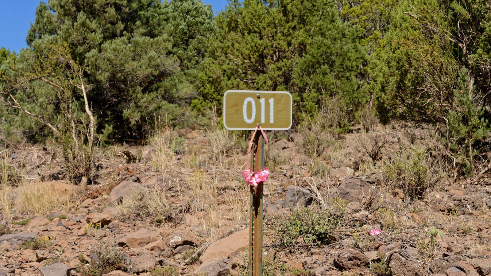
Waypoint 1 (37.40405, -113.51990)
Start of Forest Service Road 30011, also known as Grass Valley Road. Level 1 difficulty here.
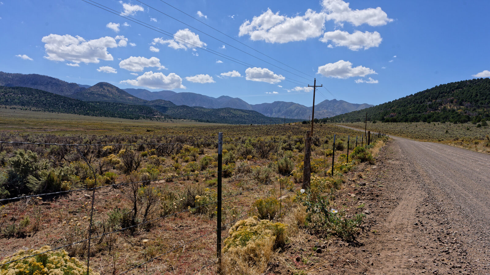

Waypoint 2 (37.43572, -113.48991)
Waypoint 3 (37.45801, -113.48197)
Waypoint 4 (37.45859, -113.48124)
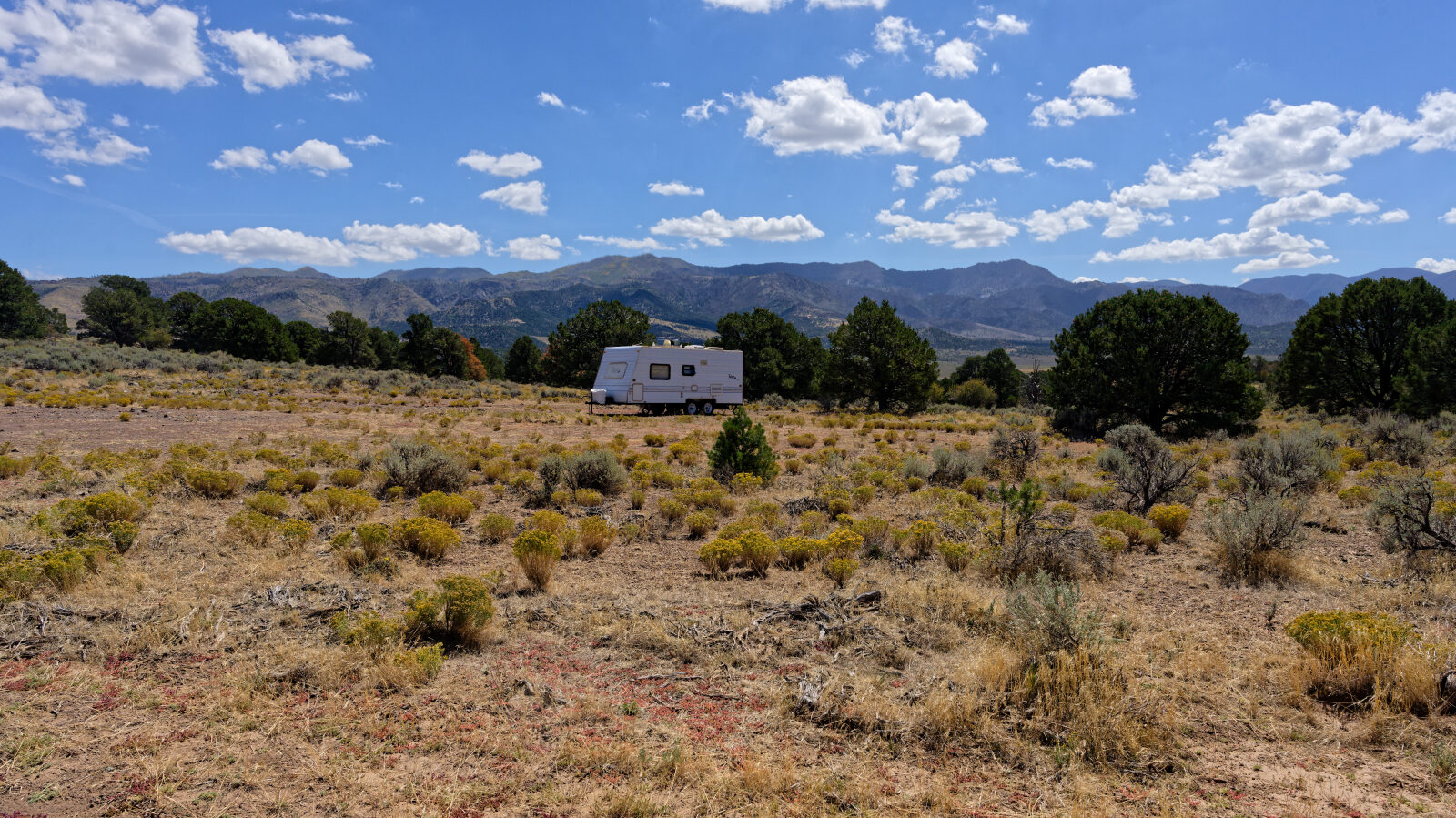
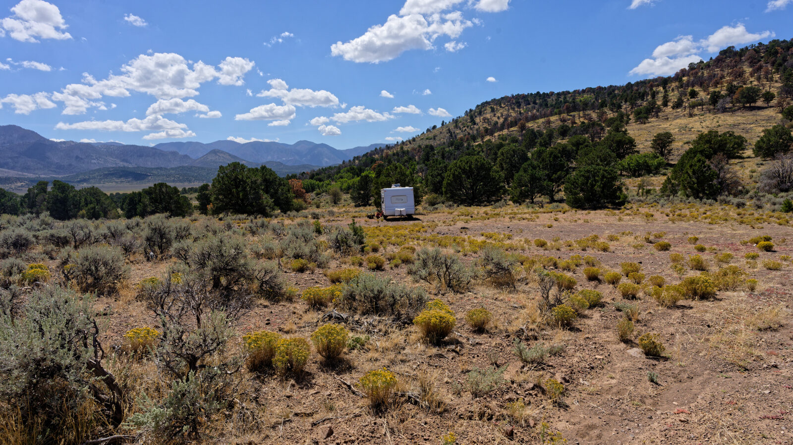
Camp spot that probably fits two or three rigs. Not private and not shady.
Waypoint 5 (37.45829, -113.48249)
Another camp spot across the road. No shade and no privacy.
Waypoint 6 (37.48532, -113.48970)
Waypoint 7 (37.48639, -113.49248)
Shelf road about two Jeeps wide. Passing is possible, but watch for oncoming traffic.
Waypoint 8 (37.49709, -113.49379)
Burn scars from the fire are visible here.
Waypoint 9 (37.51251, -113.51026)
The road crosses private property.
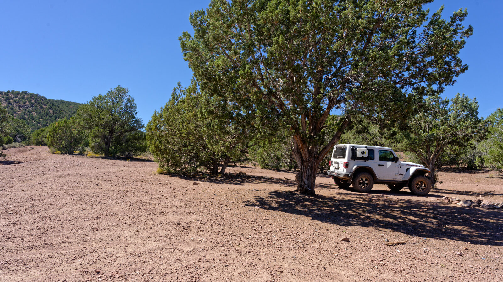
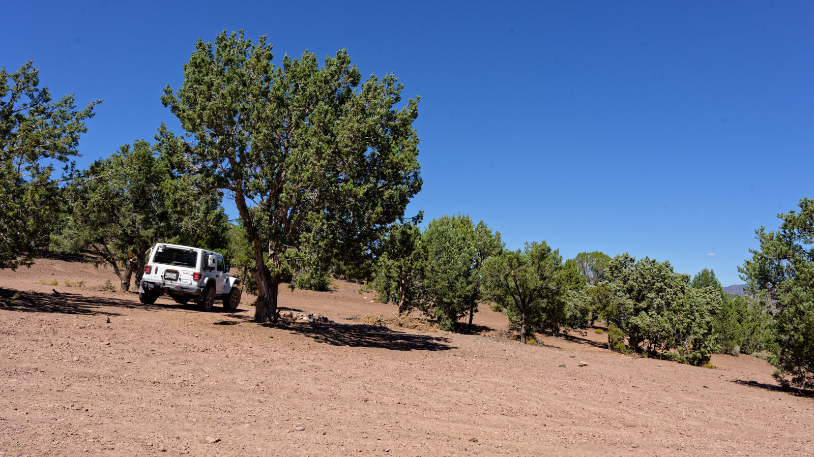
Waypoint 10 (37.63466, -113.53335)
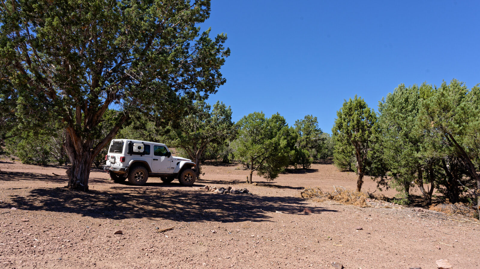
Camp spot with room for one or two rigs, a little shade and a little privacy.
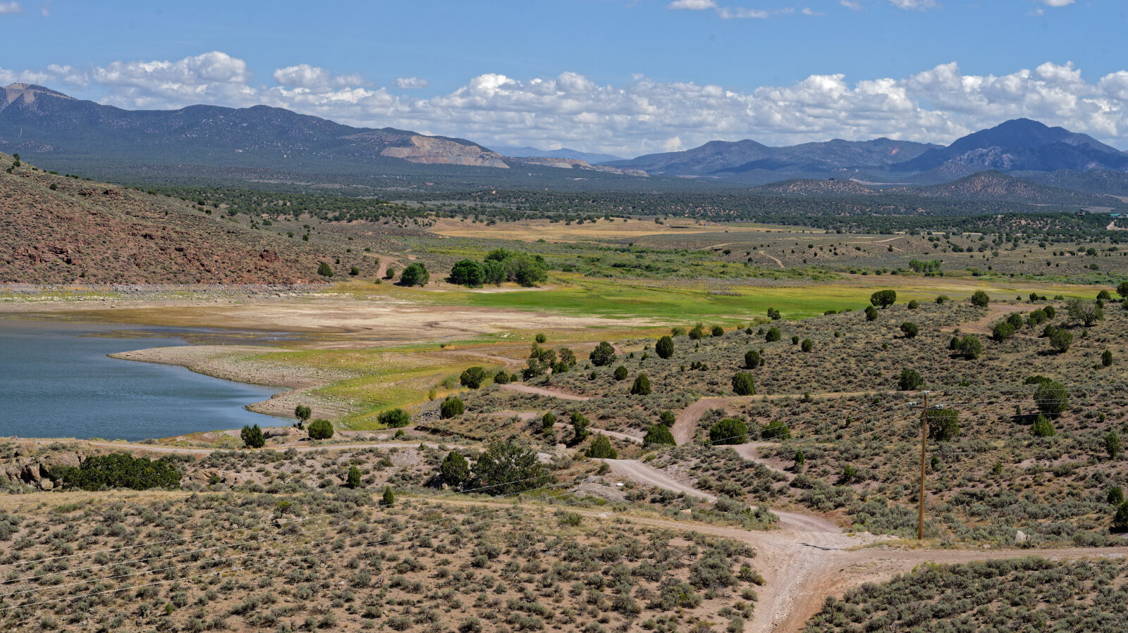
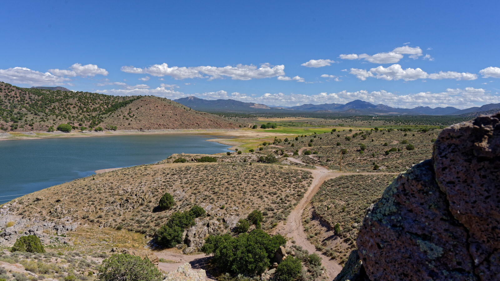
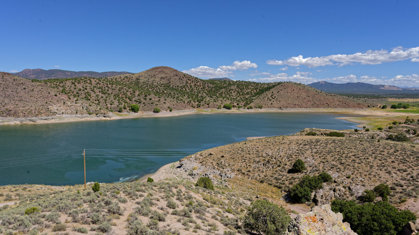
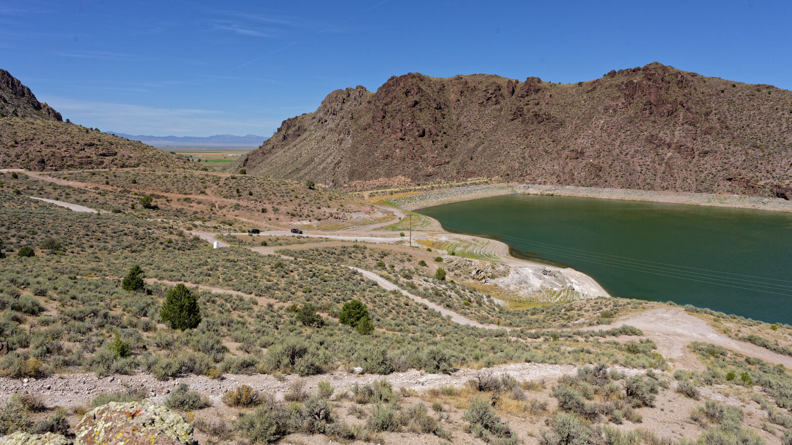
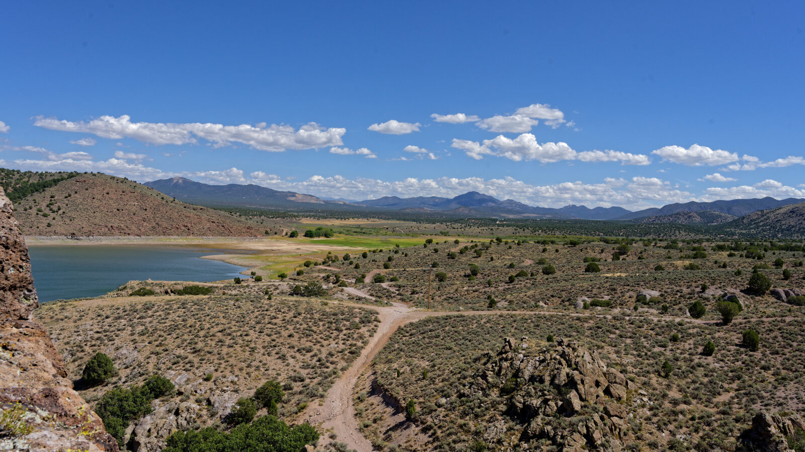
Waypoint 11 (37.64899, -113.52946)
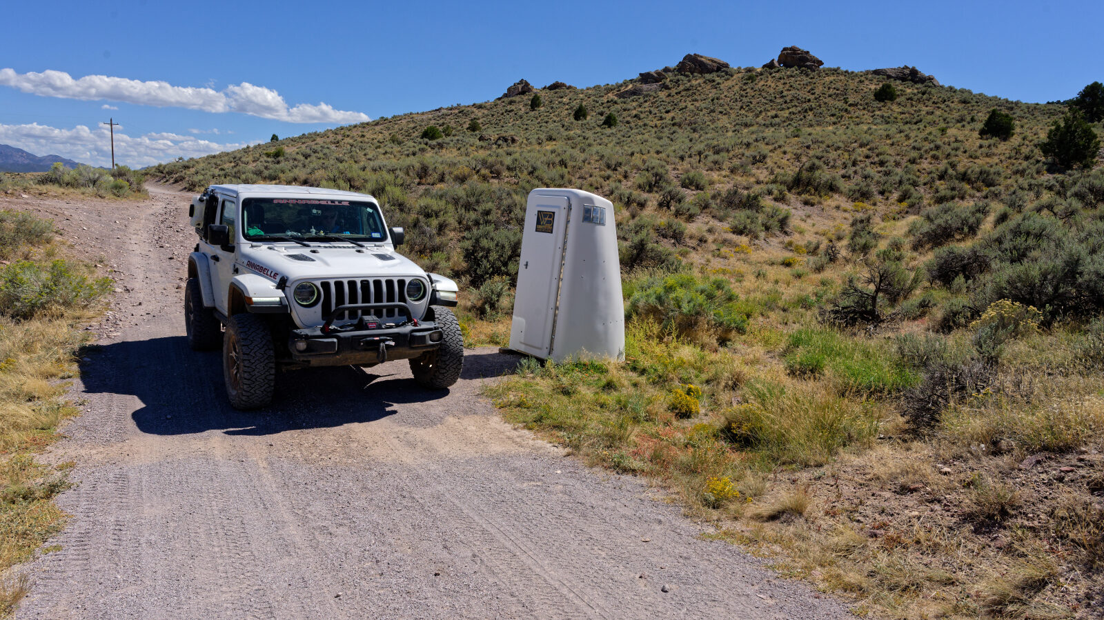
Waypoint 12 (37.64968, -113.52906)
Waypoint 13 (37.65024, -113.52991)
Sanitation station, basically a porta potty. There is likely camping nearby.