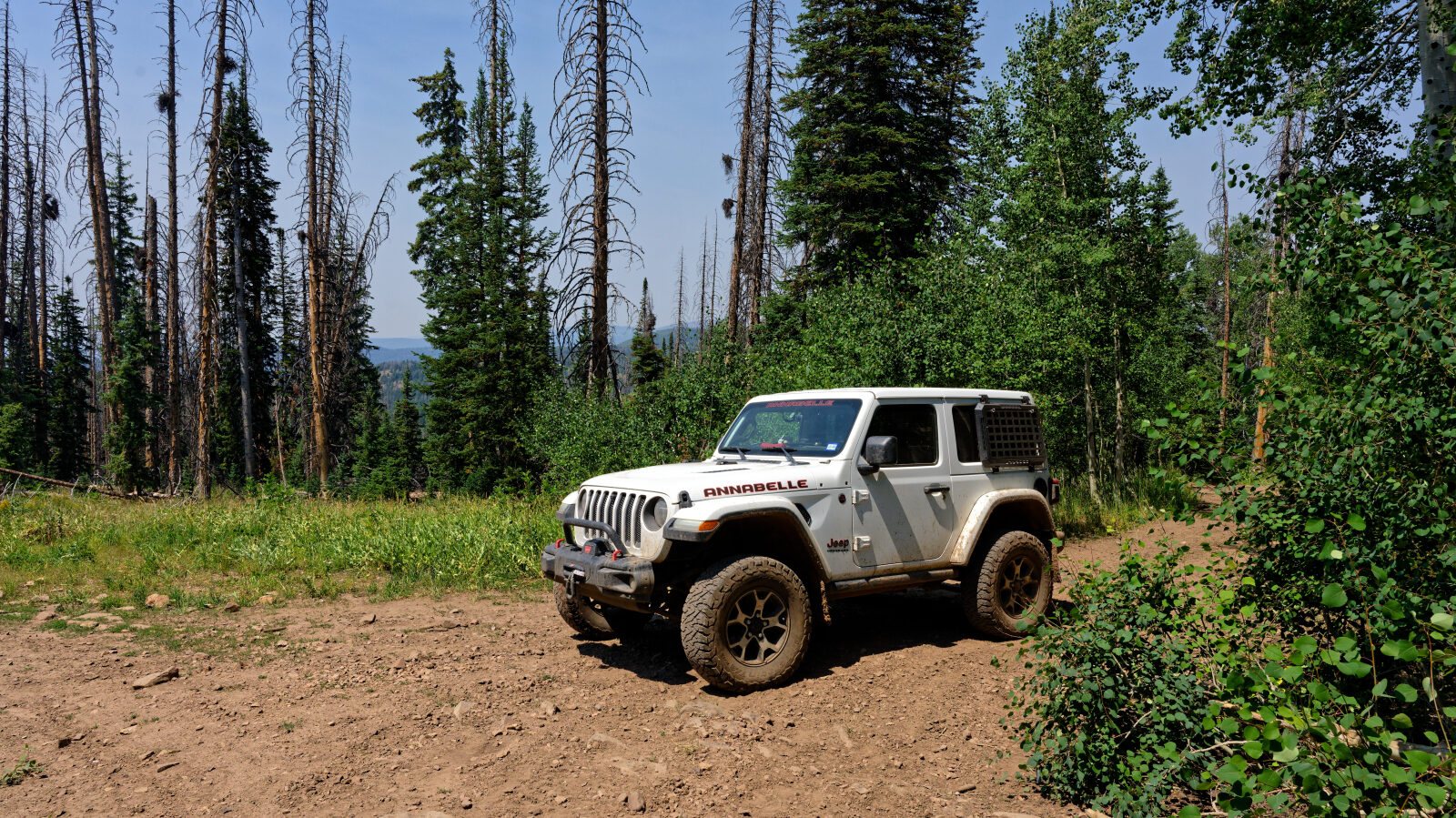
Nobletts Ridge - Level 2
Nobletts Ridge is a short backcountry route in the Heber-Kamas Ranger District of the Uinta-Wasatch-Cache National Forest, in the western Uinta Mountains. It lies southeast of Kamas and off the Nobletts area of the Mirror Lake Highway and State Highway 35 corridor. It follows a ridge through high country with conifer and aspen, and the elevation gives it cool summer temperatures compared with the Wasatch Front.
The route is quick to drive and works well as a half-day outing or as an add-on to a day at Soapstone, Wolf Creek or Mirror Lake. Plan for seasonal conditions. At this elevation, snow can linger well into early summer.
Trail Summary
- LocationKamas, Utah
- Distance1.9 miles
- DifficultyLevel 2
- Elevation8,869 ft to 9,212 ft with a 343 ft change
- Travel Time34 minutes
Difficulty
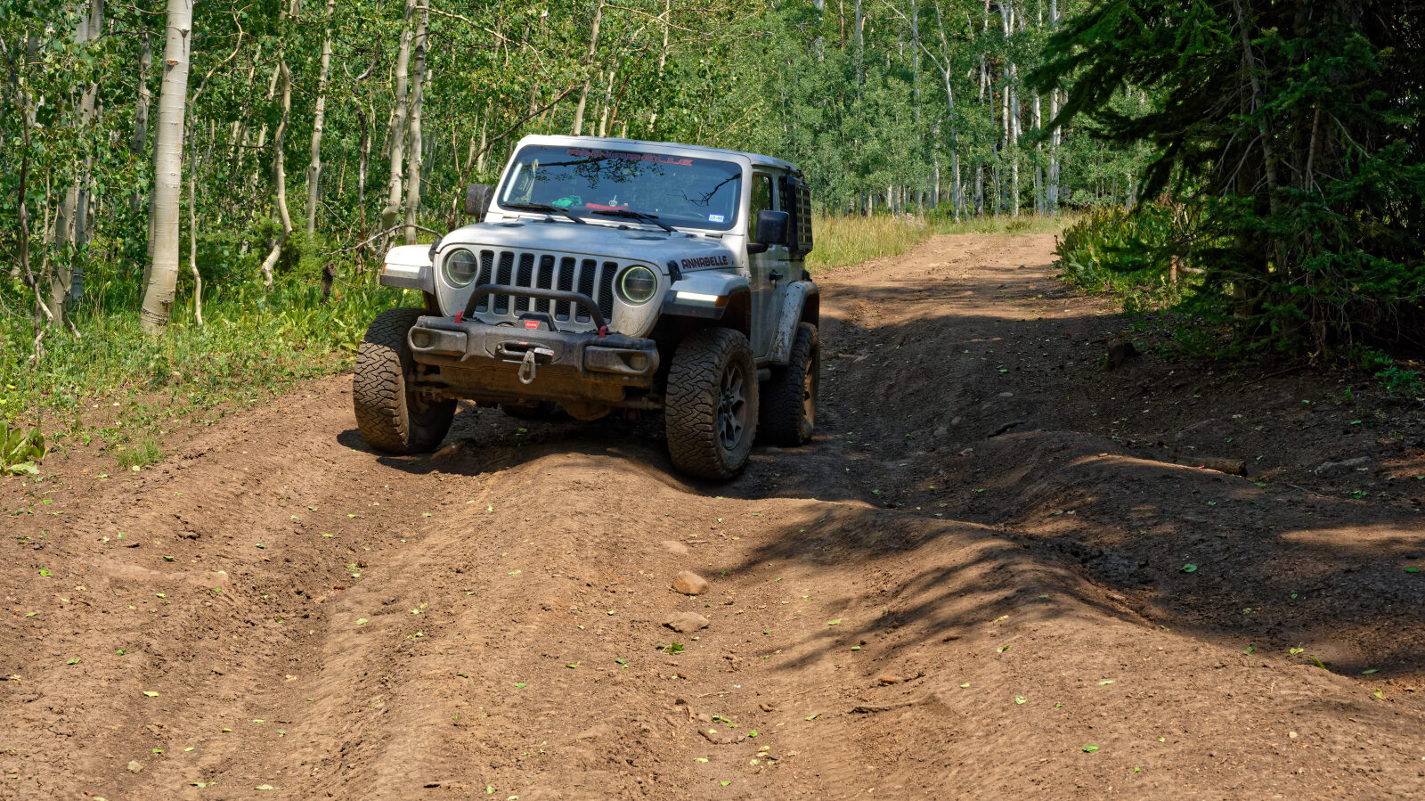
Typically suitable for high clearance 2WD
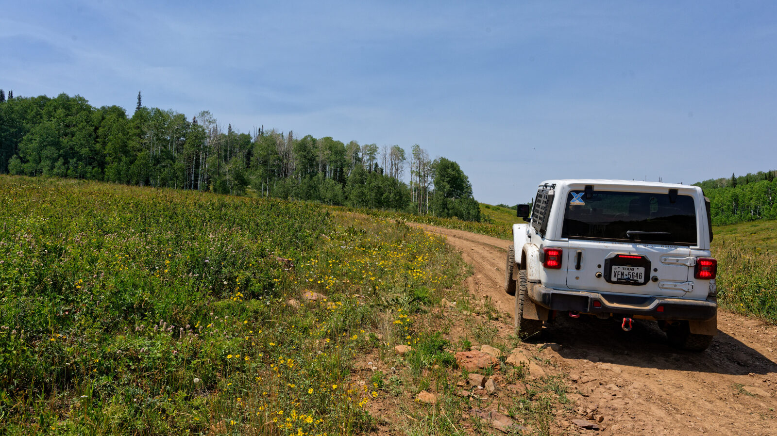
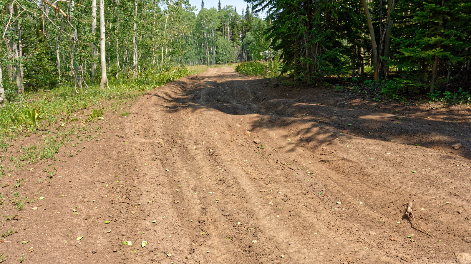
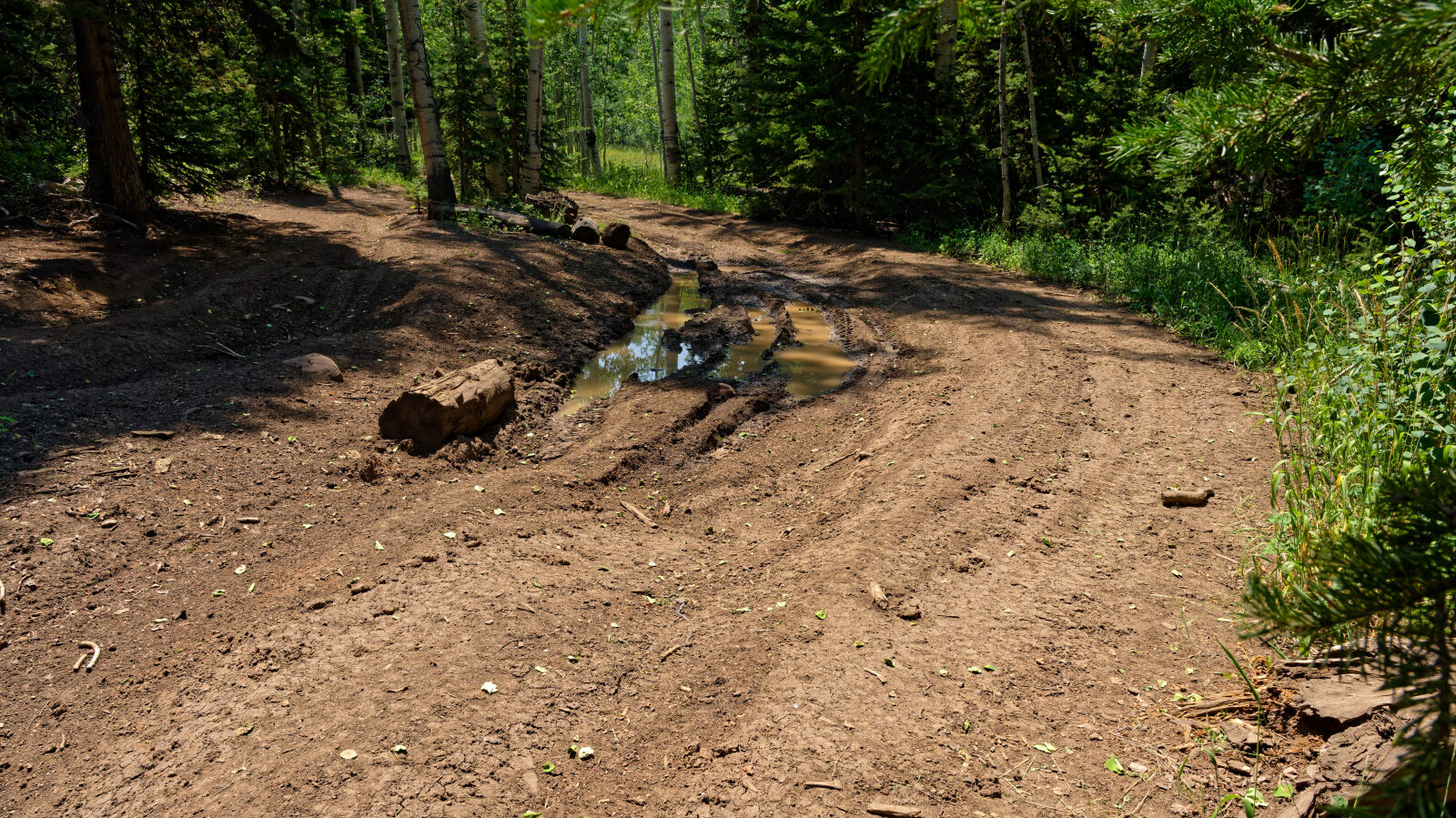
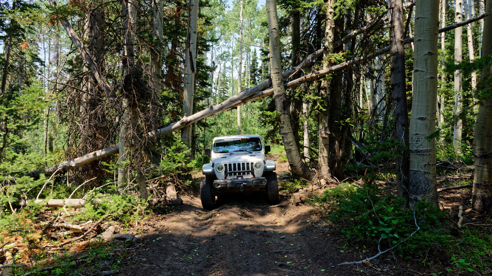
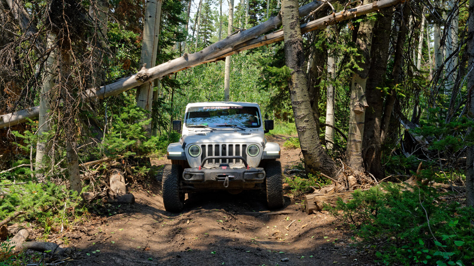
This trail is rated Easy (level 2), which is typically suitable for a high clearance 2WD vehicle. Stock equipment is sufficient, but the surface will likely test tire traction and ground clearance in places. Expect a dirt or rocky road with dips, ruts or rocks smaller than about 9 inches. Some sections are steep or rutted, though traction is generally good. The road is typically unmaintained after rain or snow, so conditions can change. Shallow water crossings and small ledges under 12 inches are possible, and the road is generally one to two vehicles wide. The route is consistent at this level throughout.
Terrain
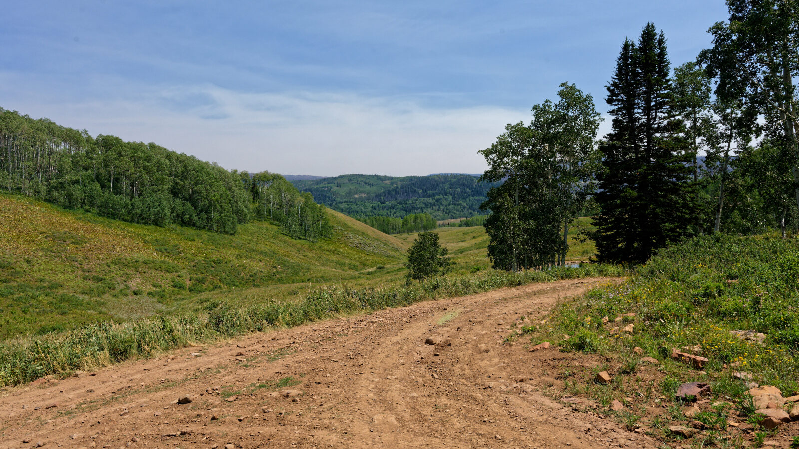
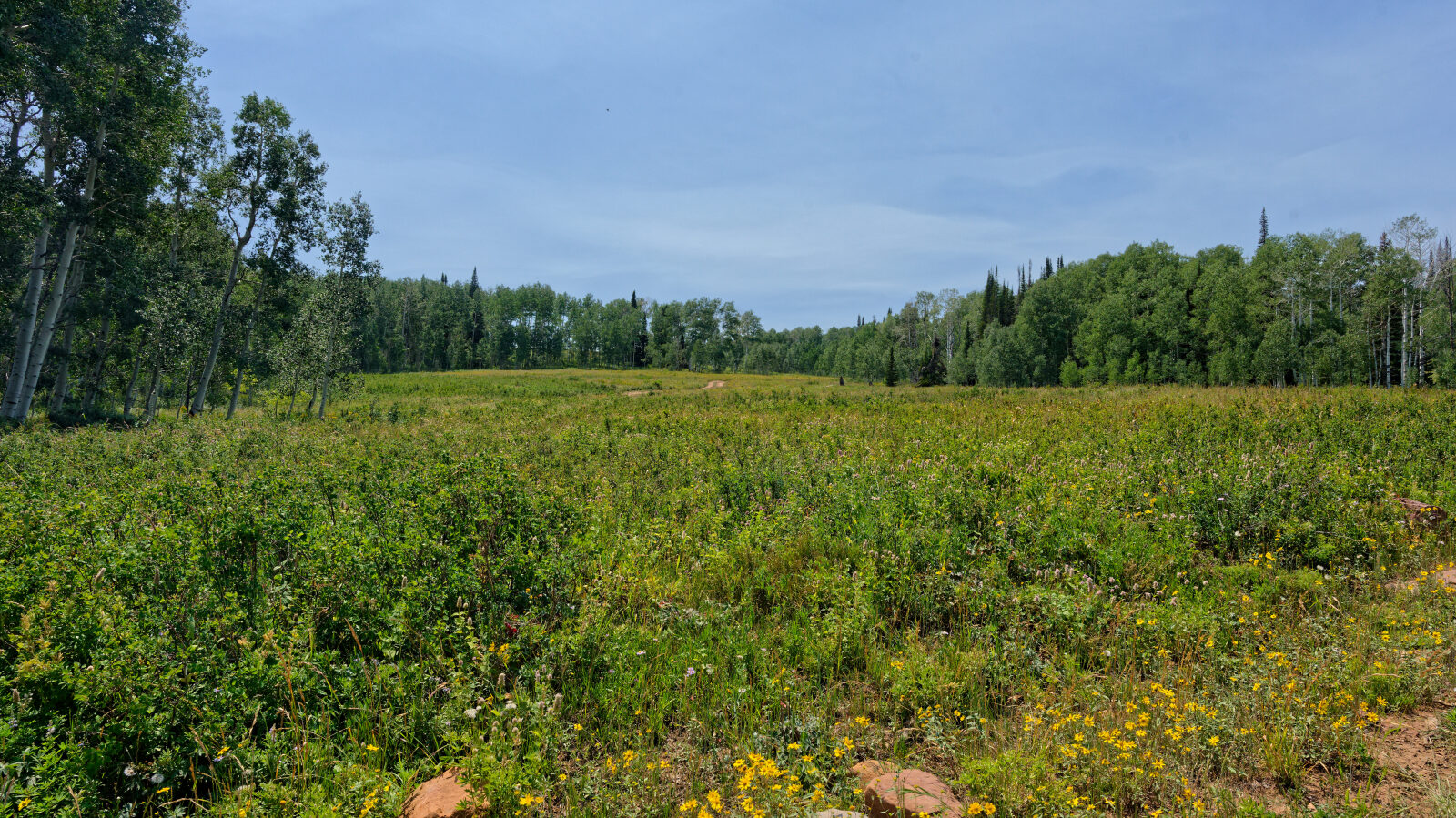
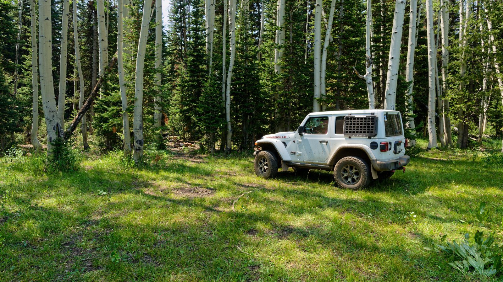
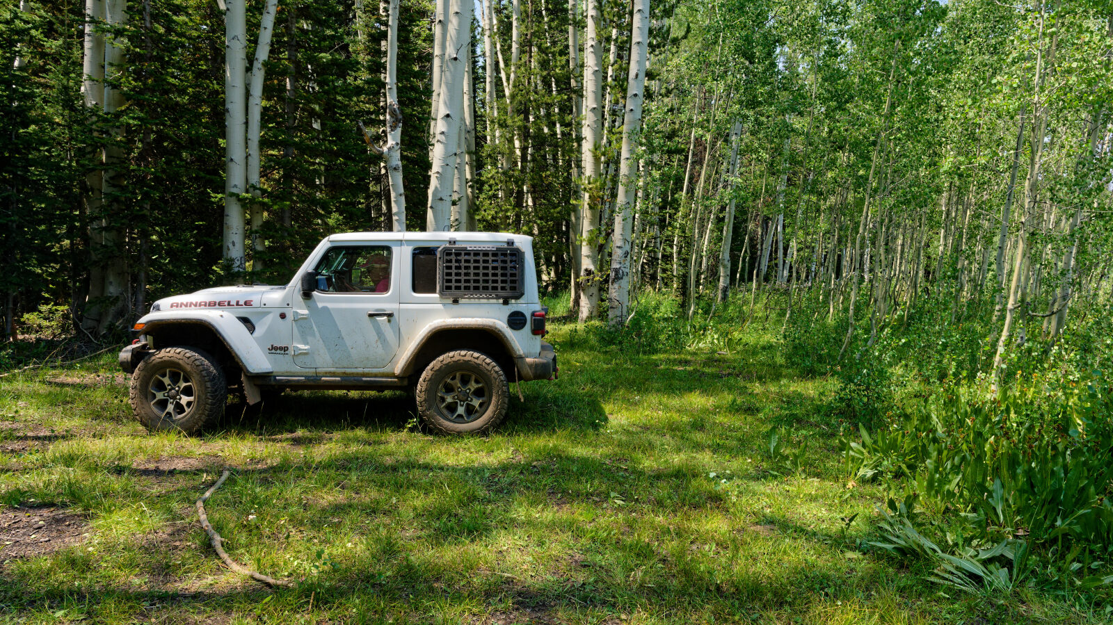
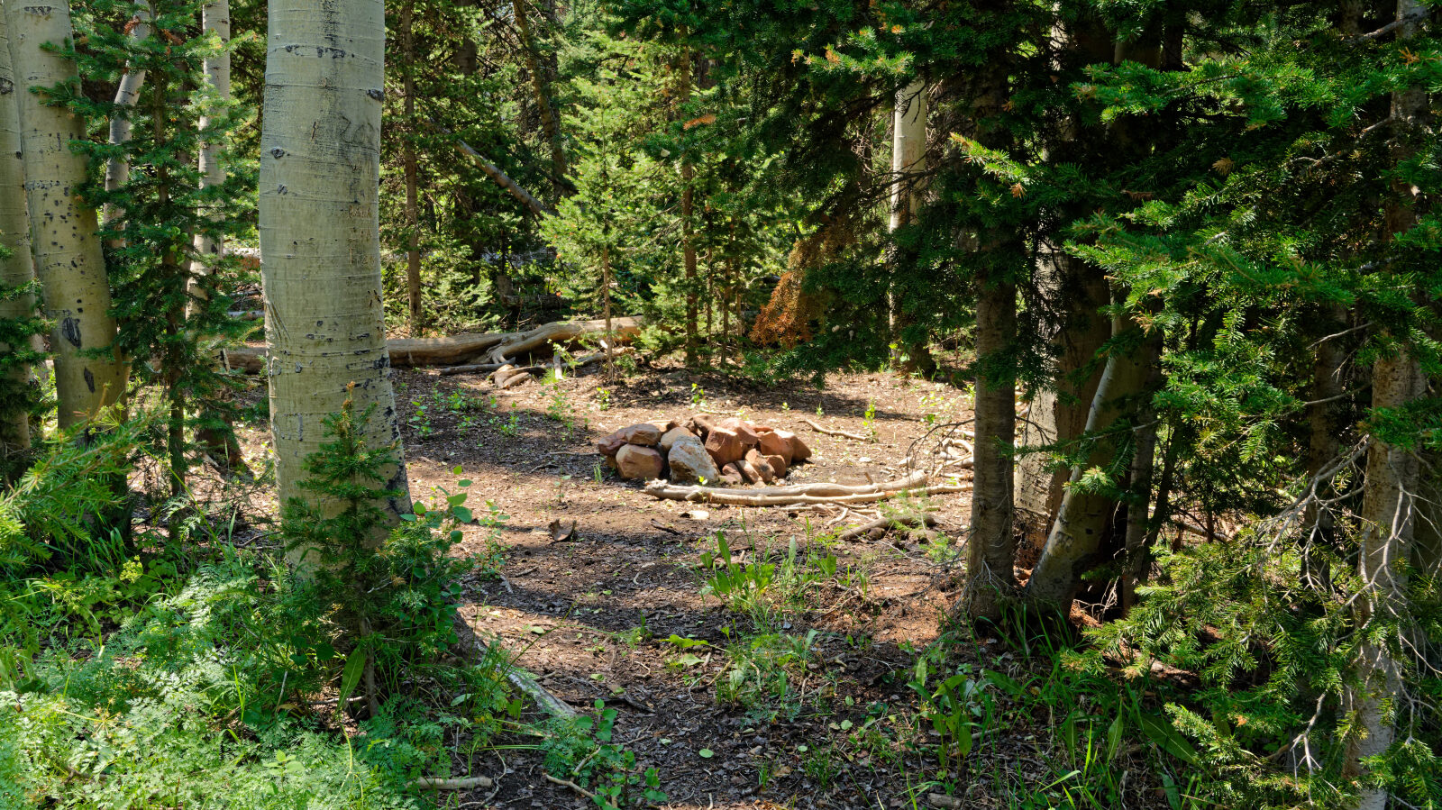
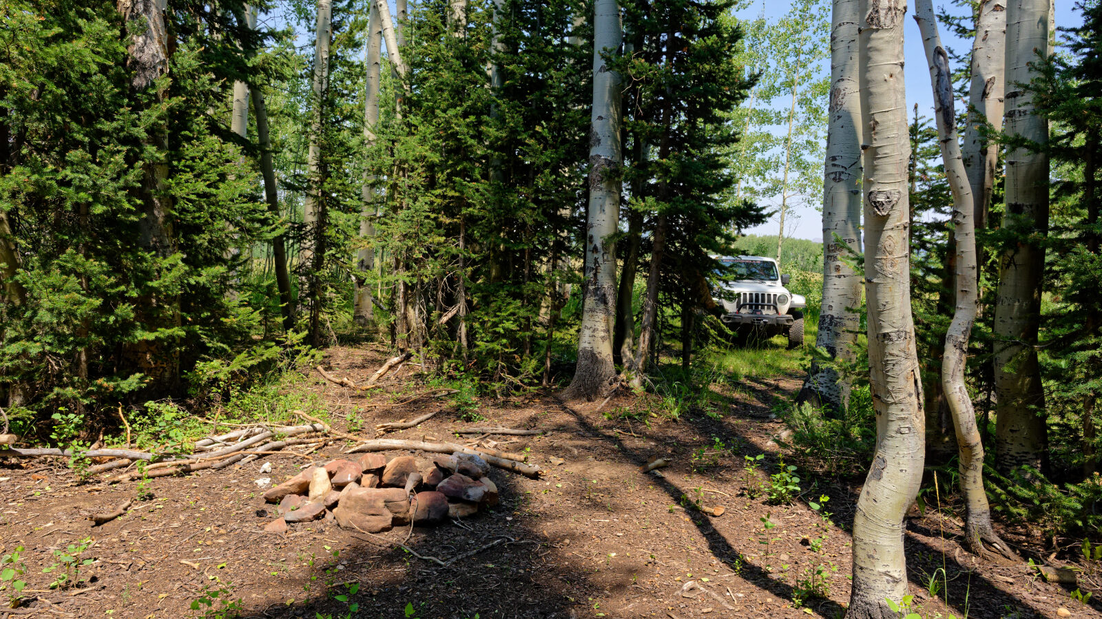
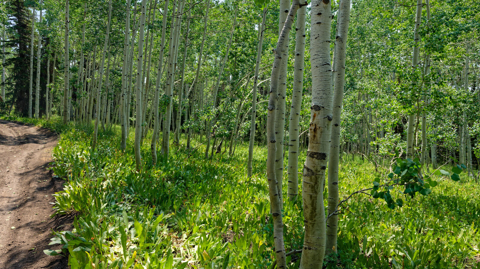
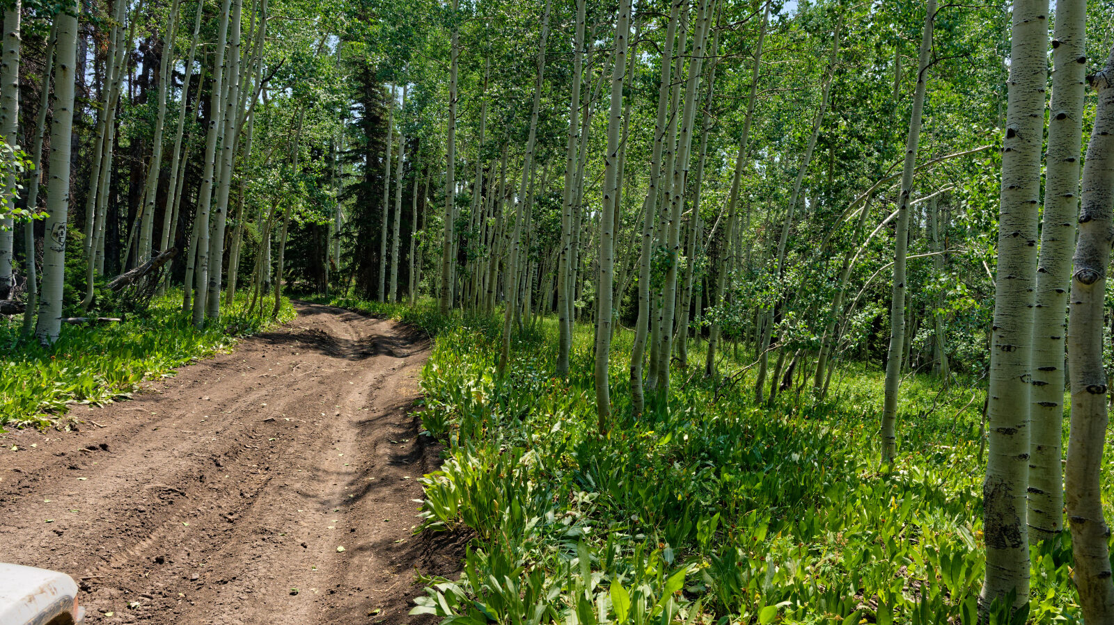
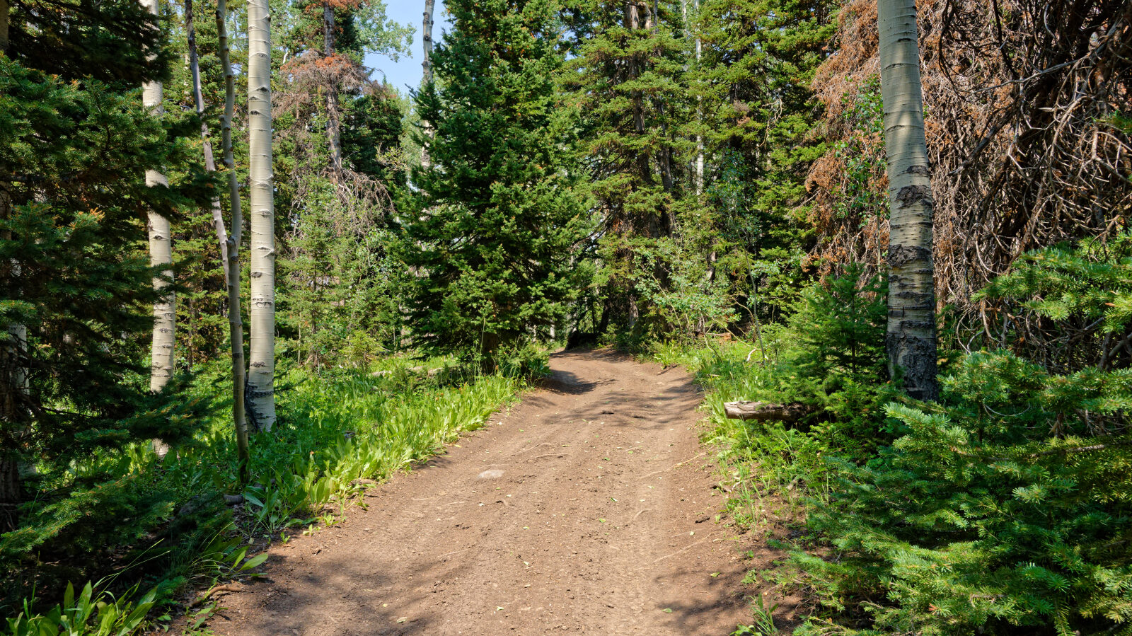
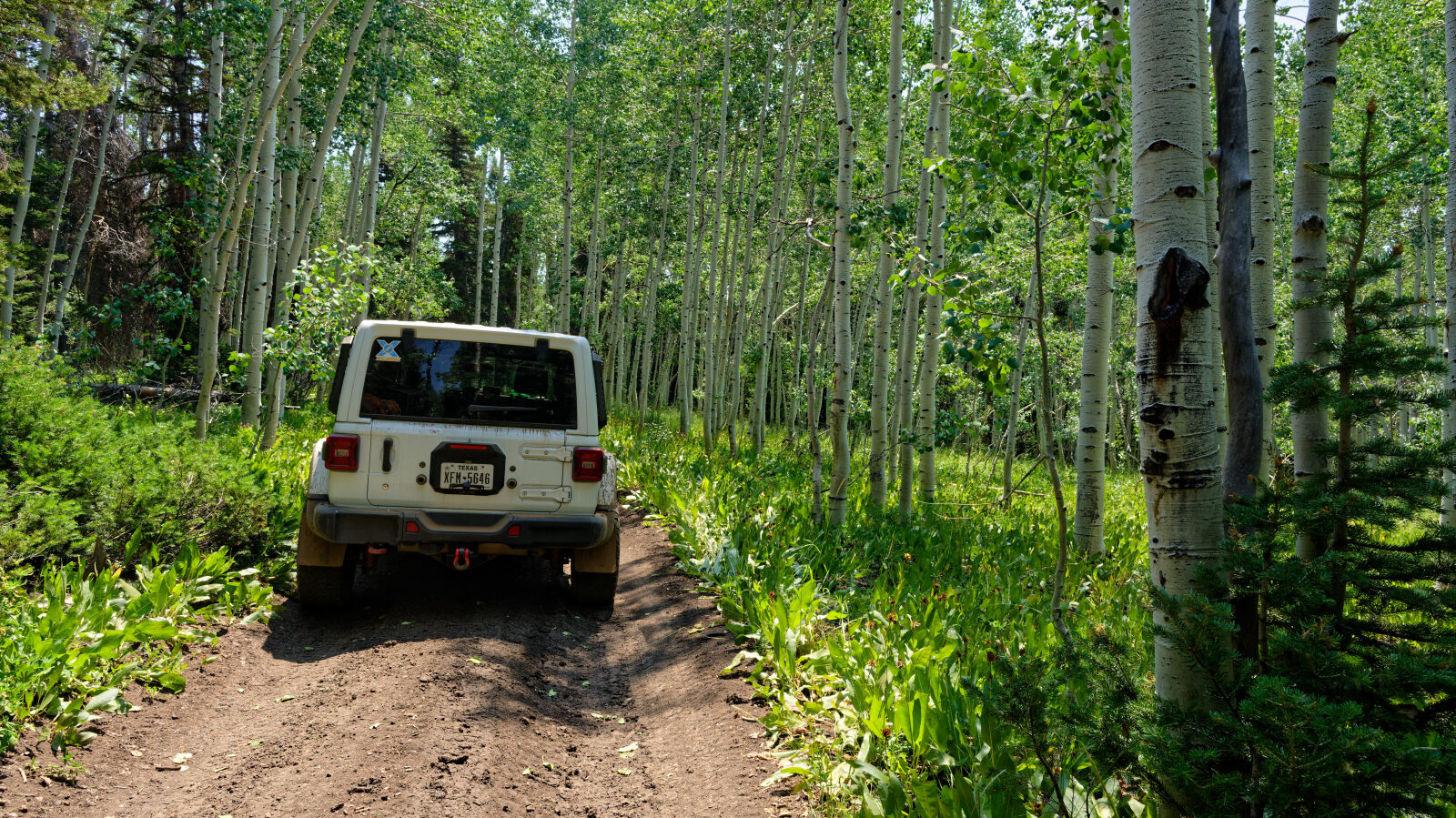
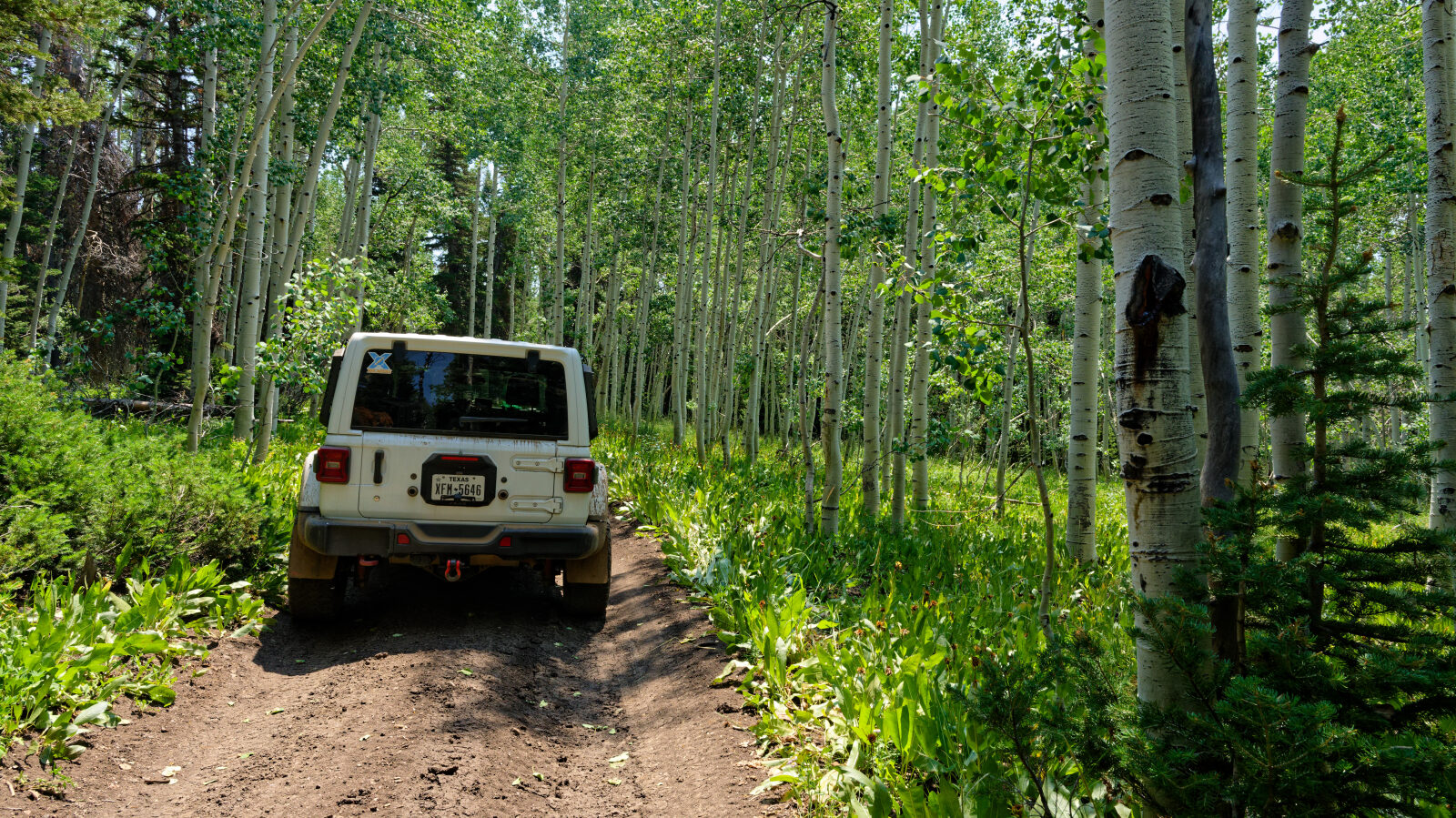
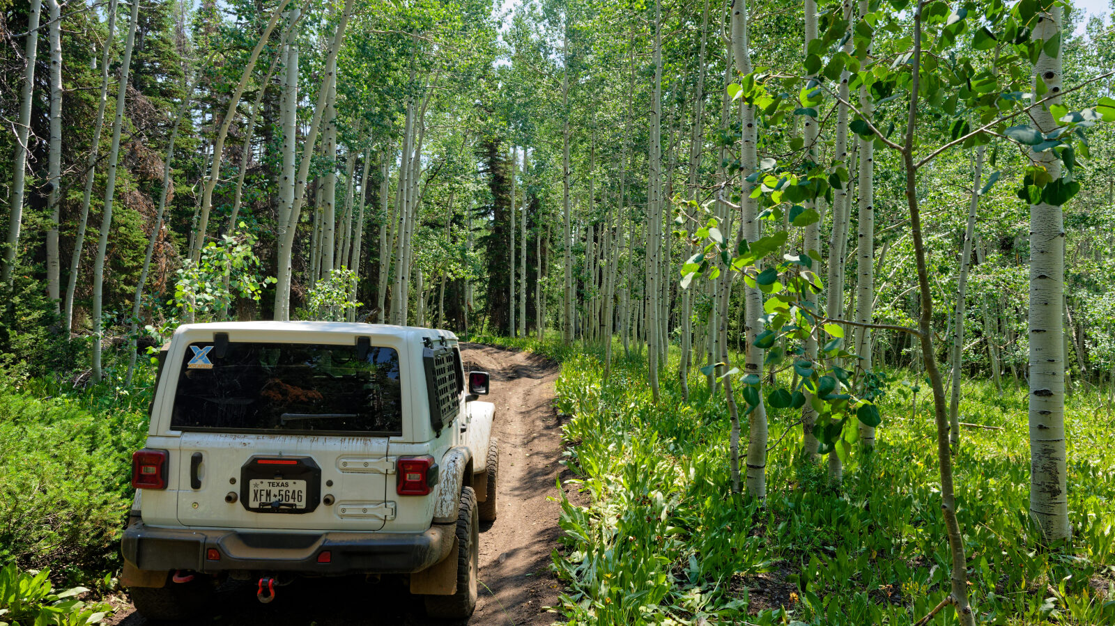
The route is a dirt road at roughly 8,900 to 9,200 feet, running along a ridge in the Uinta Mountains. The surrounding country is typical for the western Uintas, with spruce, fir and aspen stands broken by open meadows. Surface conditions depend on recent weather, and the road can be soft or rutted after rain and snowmelt.
Highlights
The ridge sits close to the Nobletts trailhead area, which has a large parking area with restrooms and is a popular winter staging point for snowmobilers heading toward the Mirror Lake and Mill Hollow complexes. The Nobletts Creek hiking trail starts nearby, and Soapstone Basin, Wolf Creek Pass and the Mirror Lake Highway are all within a short drive. Check the Forest Service road conditions page before going, since access can change with the season.
Map
The interactive map needs JavaScript. Every waypoint is also listed below.
Waypoints
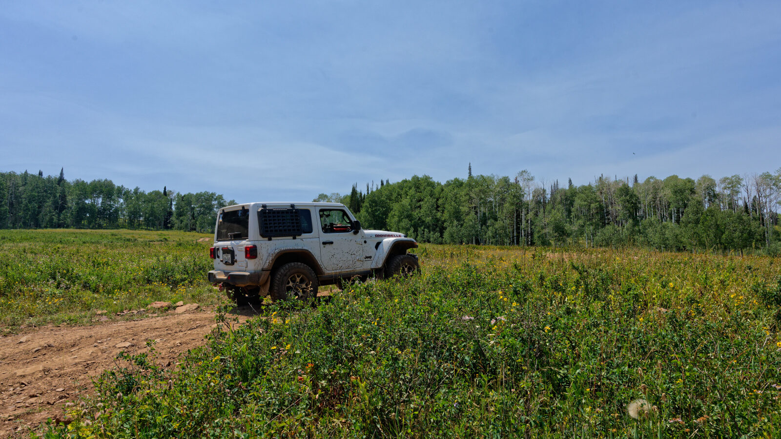
Waypoint 1 (40.55806, -111.05270)
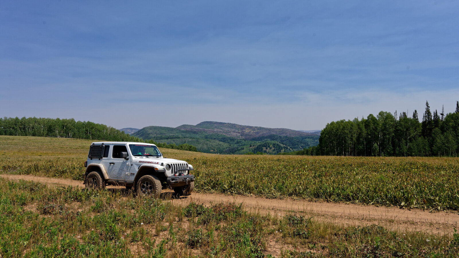
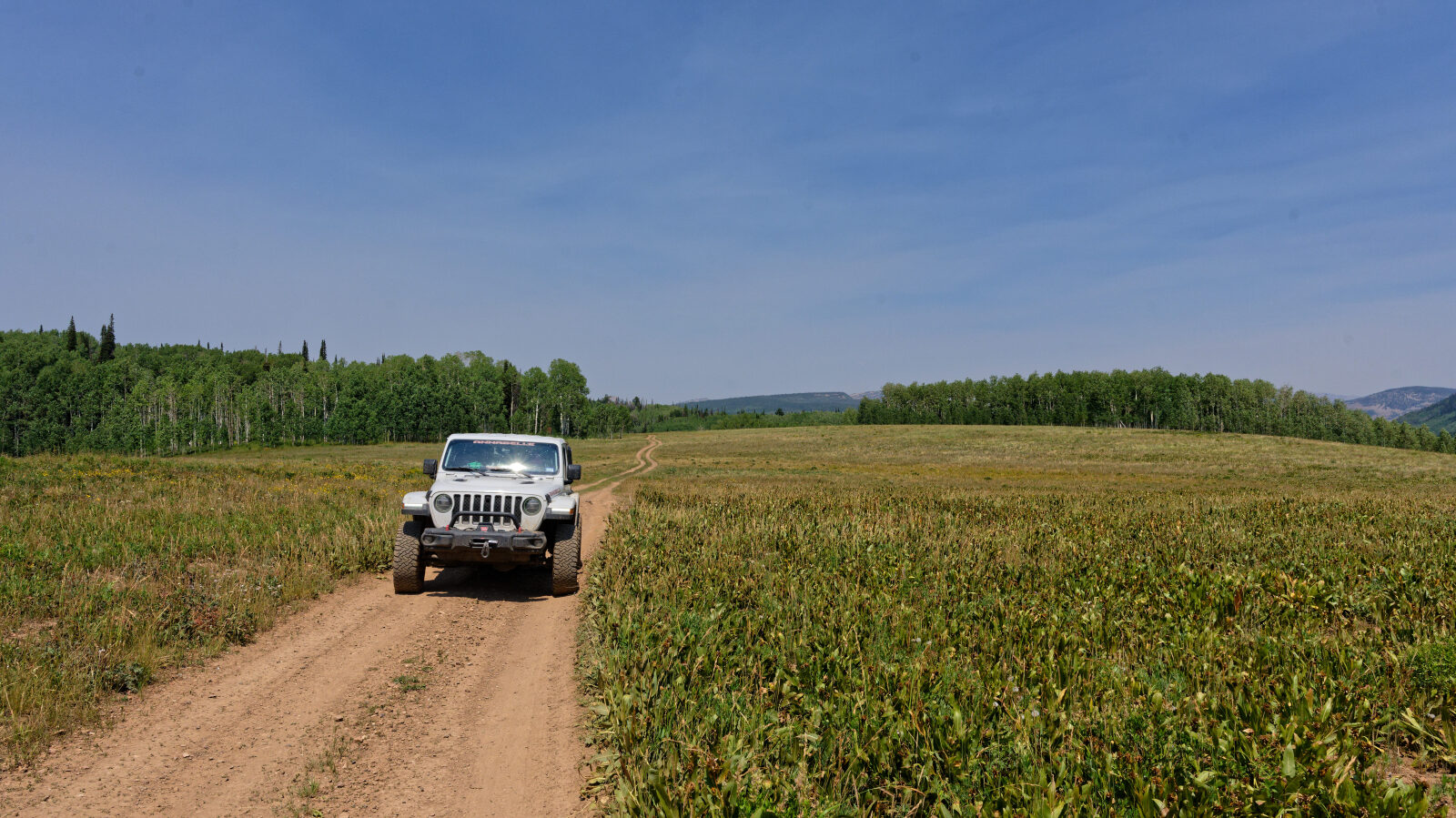
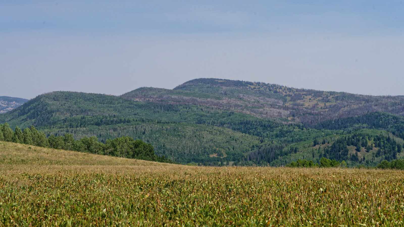
Waypoint 2 (40.55263, -111.05635)
Waypoint 3 (40.55147, -111.05655)
Waypoint 4 (40.54943, -111.05470)
Waypoint 5 (40.54804, -111.05524)
Waypoint 6 (40.54635, -111.05430)