Pass Creek - Level 1
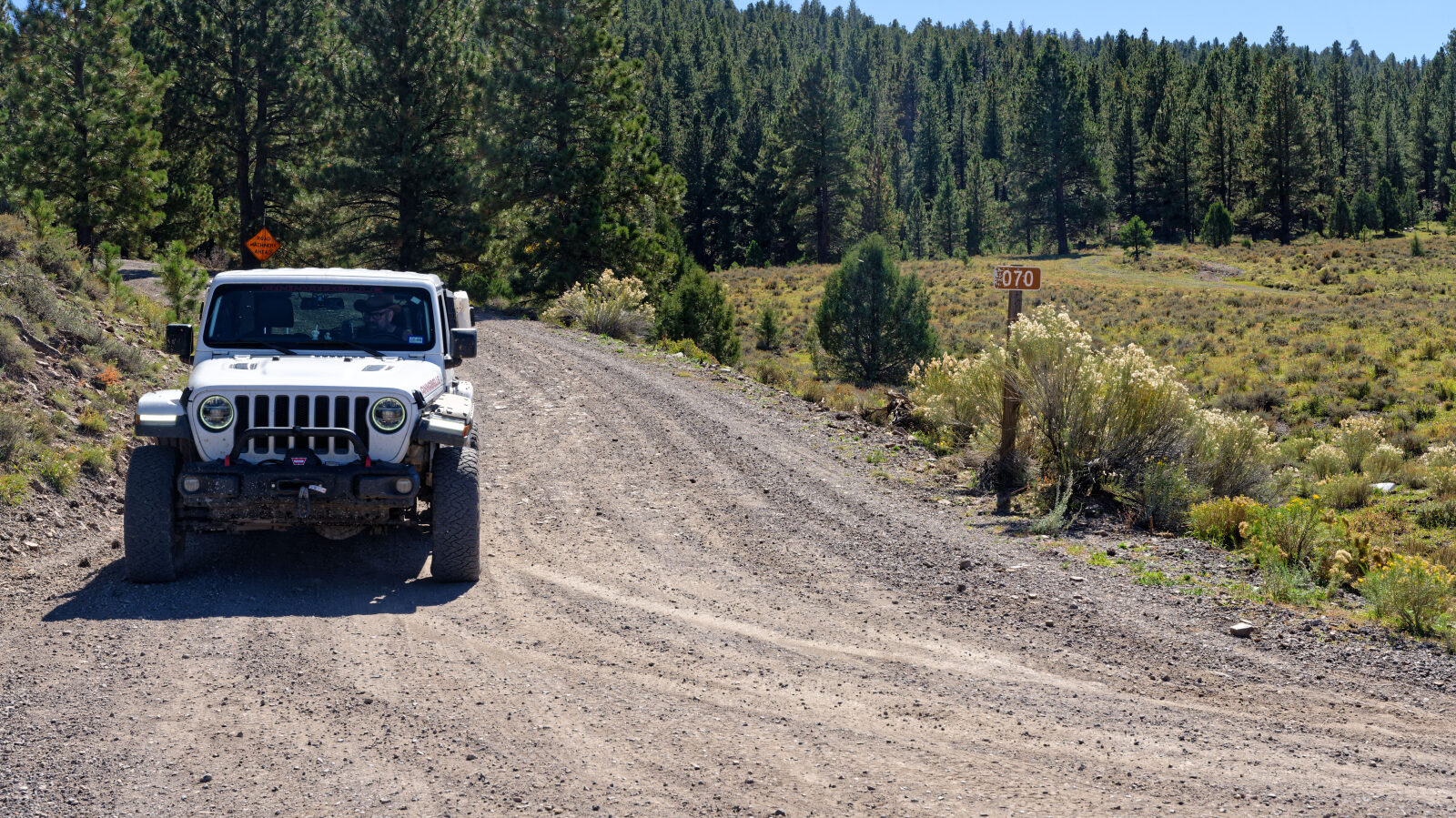
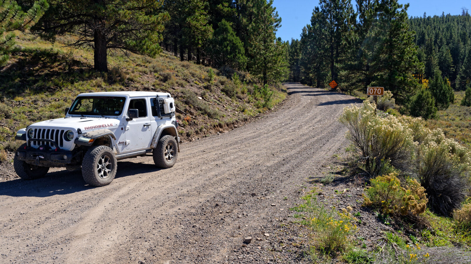
Pass Creek Road runs west from the Utah Highway 12 area into the Dixie National Forest high country of Garfield County, following Pass Creek up a forested drainage. The road is Forest Service road 32070 and is used mostly for dispersed camping. The log notes a string of campsites along the way.
The road ends at a trail end spot in the trees, after a series of camping areas of different sizes.
Trail Summary
- LocationGarfield County, Utah
- Distance5.6 miles
- DifficultyLevel 1
- Elevation7,615 ft to 8,238 ft with a 623 ft change
- Travel Time30 minutes
Difficulty
Suitable for high clearance 2WD
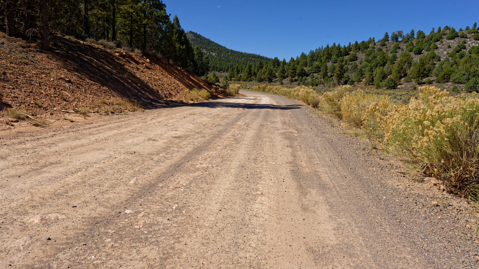
Level 1 is easy and suits high clearance 2WD. Stock equipment is enough. Expect dirt or rocky road with obstacles under 5 inches, such as small rocks, dips or ruts, and gentle grades with good traction. The road is typically two vehicles wide. The log calls out nothing that needs special attention, and two spots along the route are noted as level 1. The road is open year round.
Highlights
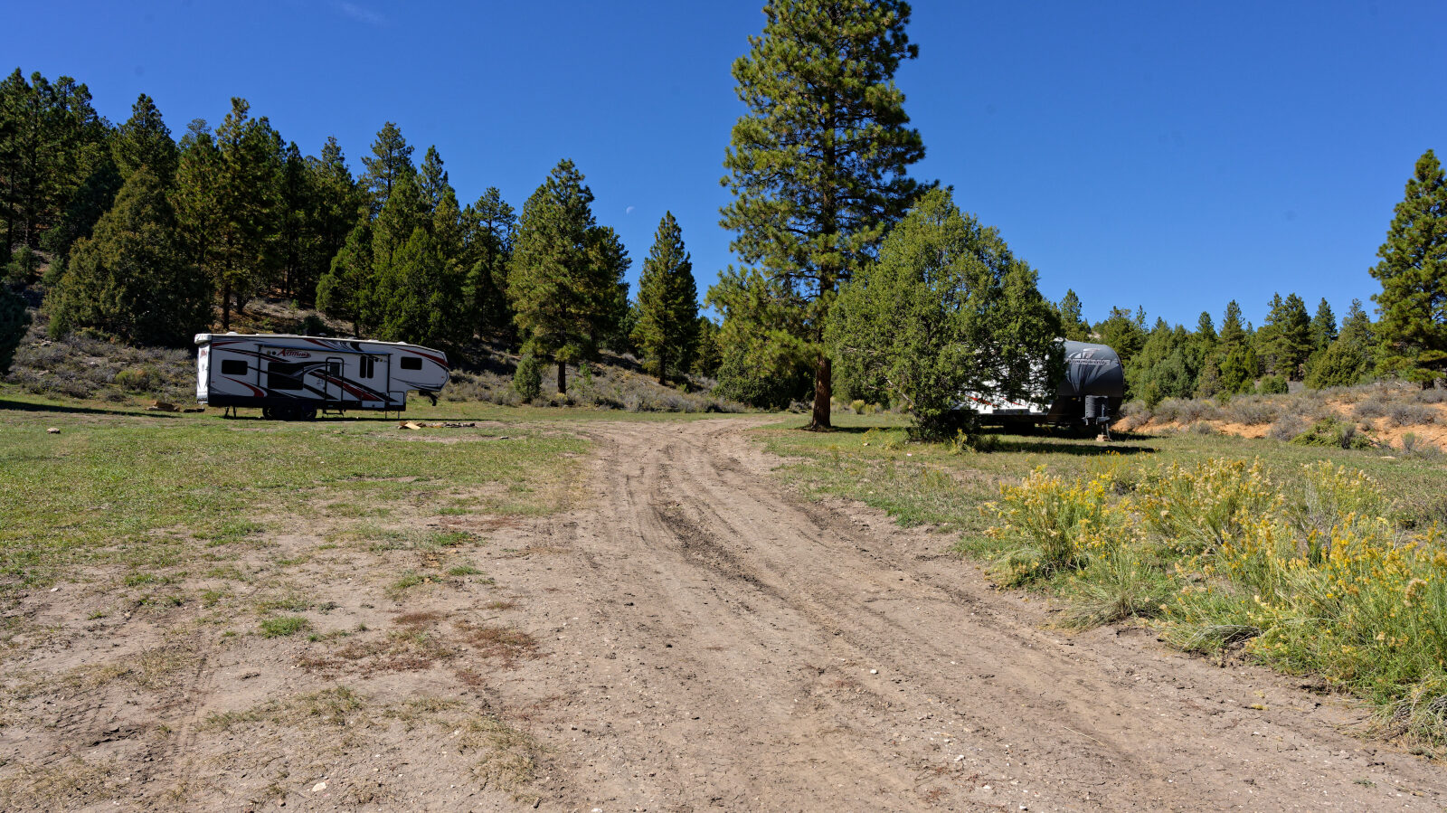
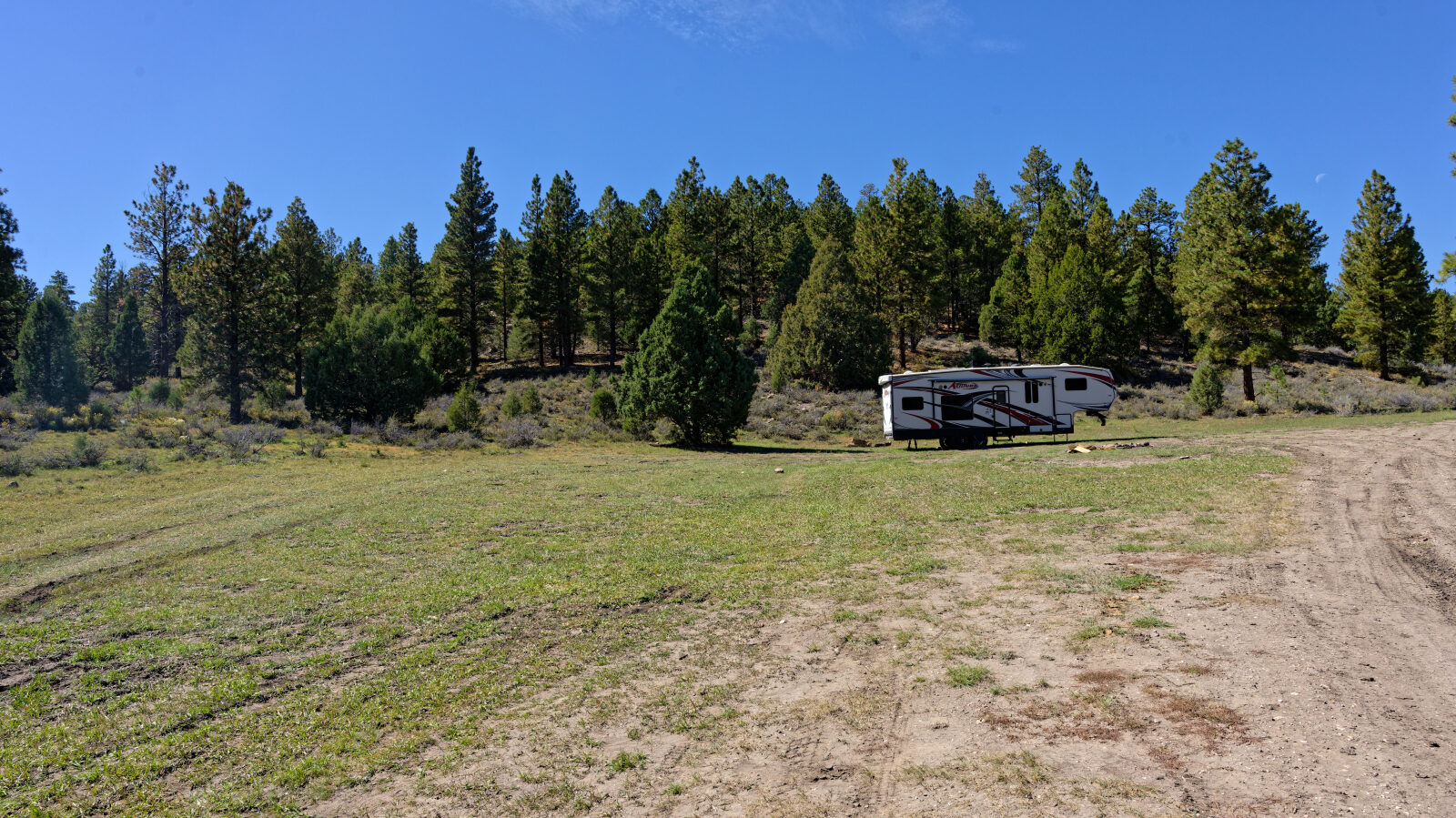
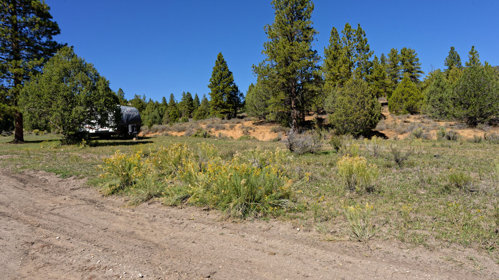
Camping is the main draw. The log describes spots with shade and some privacy in the trees, spots with fewer trees that suit a single group, and a larger area with about a dozen parking places for big rigs and little privacy. Some spots near the start are already used by trailers, so a weekend may be busy.
Map
The interactive map needs JavaScript. Every waypoint is also listed below.
Waypoints
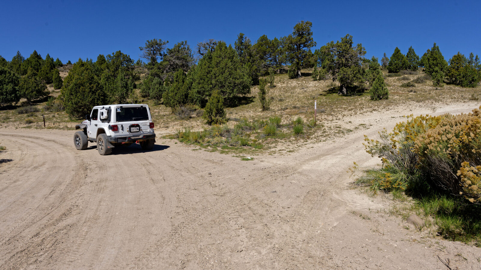
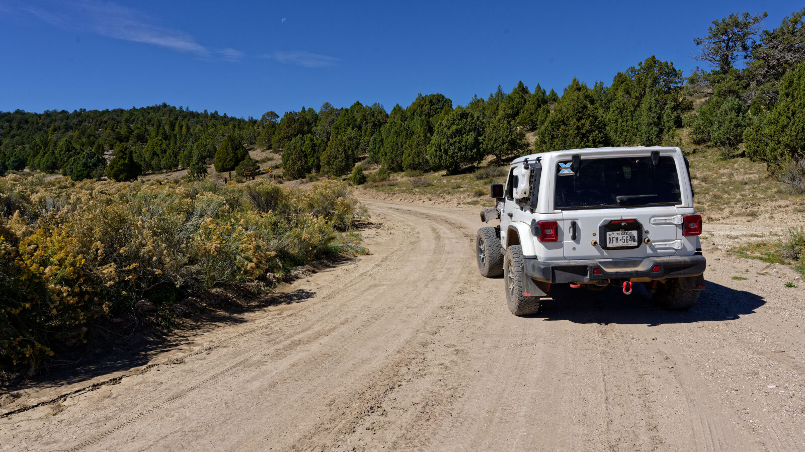
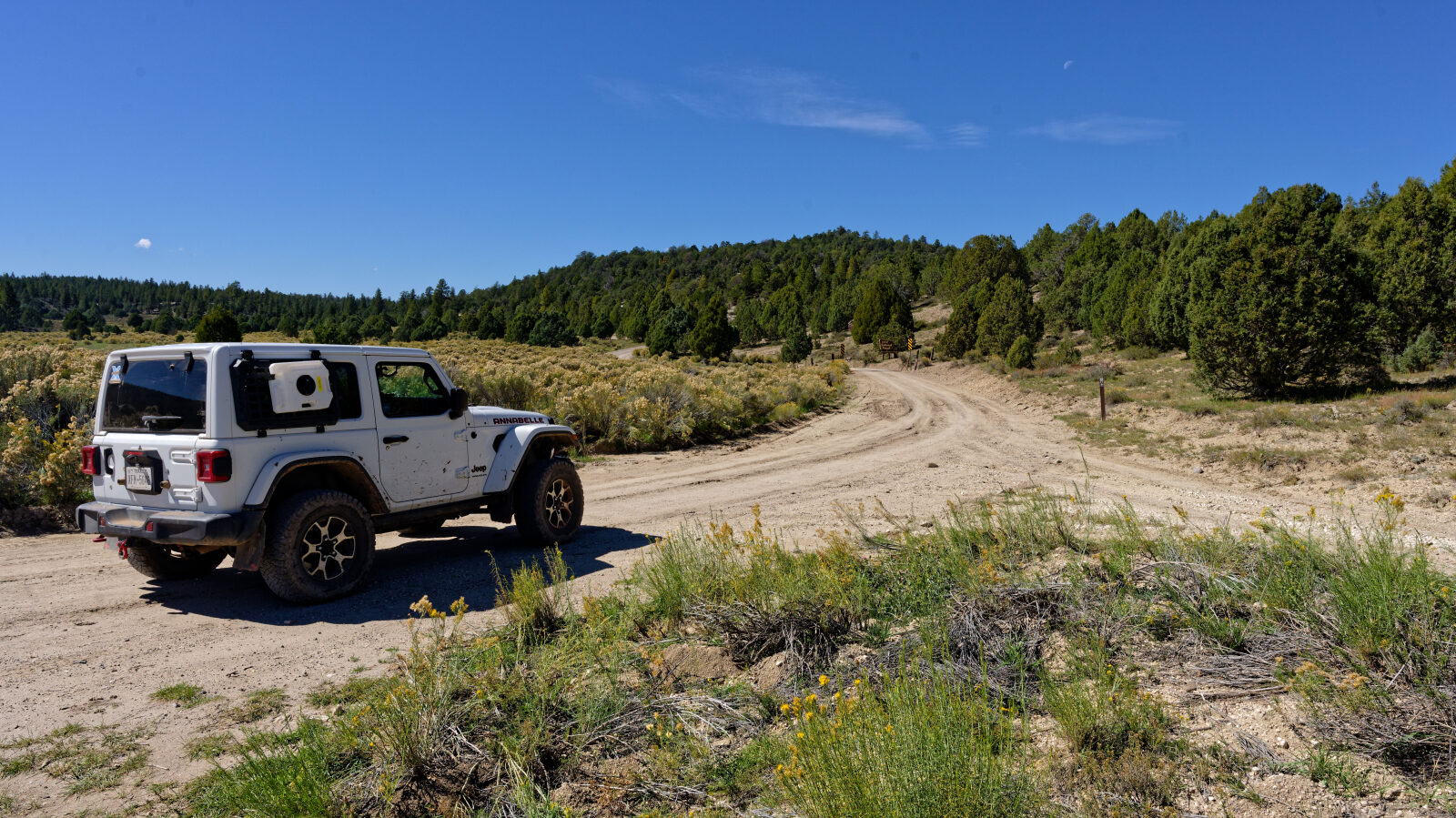
Waypoint 1 (37.68487, -112.54014)
Start of Pass Creek Road 32000. The road number here is also given as 32070.
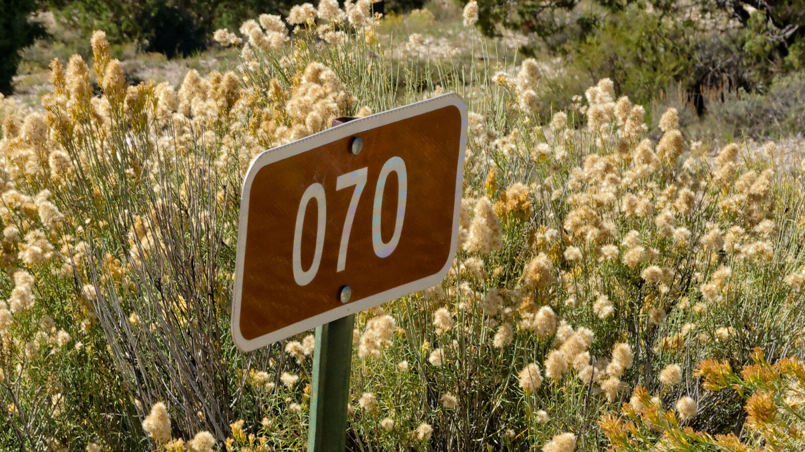
Waypoint 2 (37.68494, -112.54121)
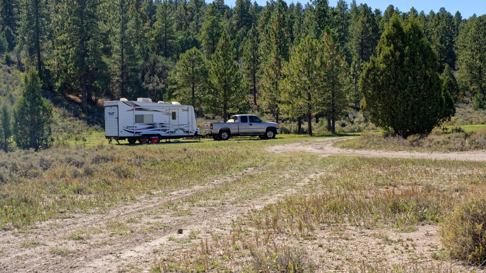
Waypoint 3 (37.69011, -112.55625)
Waypoint 4 (37.69047, -112.55845)
A few shaded camping spots nearby, each with room for two or three trailers.
Waypoint 5 (37.69300, -112.56911)
A camping spot that looks like it holds three trailers. It is ready to use.
Waypoint 6 (37.69578, -112.57846)
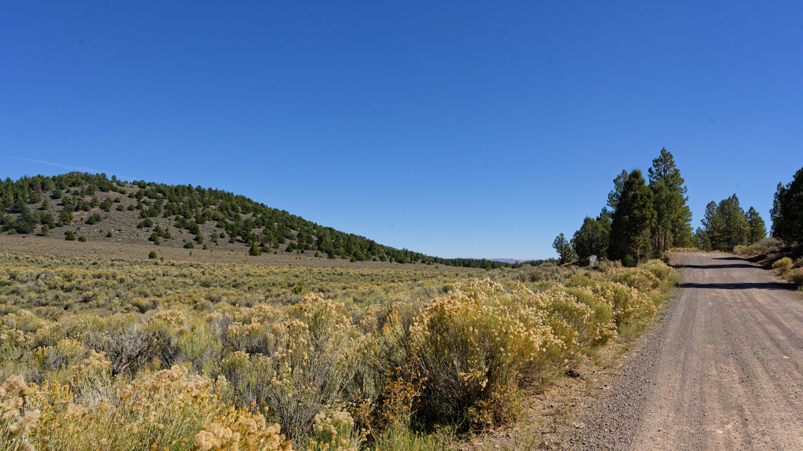
Camping with little shade and a few trees. There is some privacy if the spot is just your group.
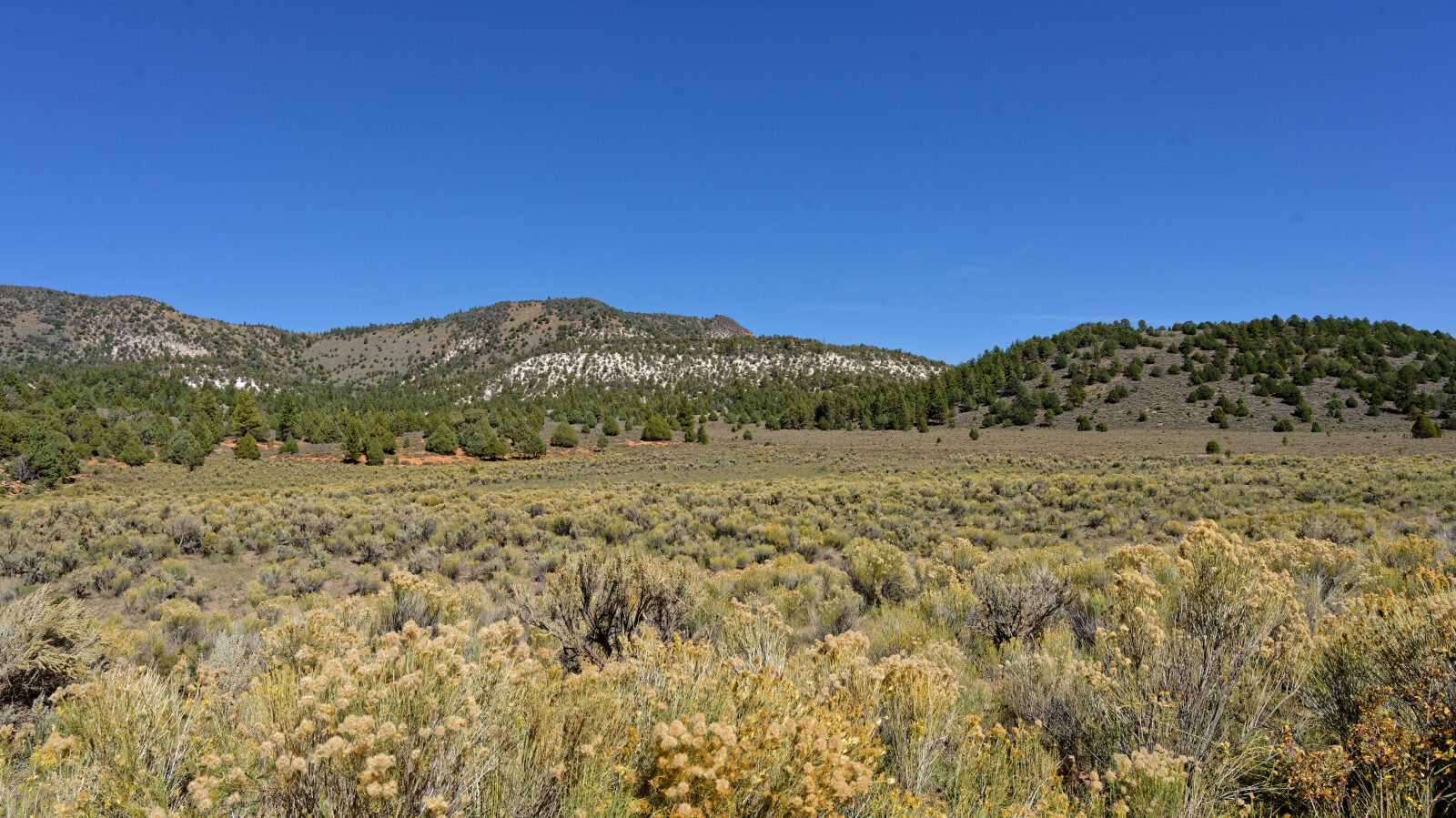
Waypoint 7 (37.70219, -112.58455)
A level 1 spot.
Waypoint 8 (37.71629, -112.60375)
Another camping spot in the trees, with shade and a little privacy.
Waypoint 9 (37.71780, -112.60750)
A good dozen parking spots for large rigs. There are some trees but no privacy.
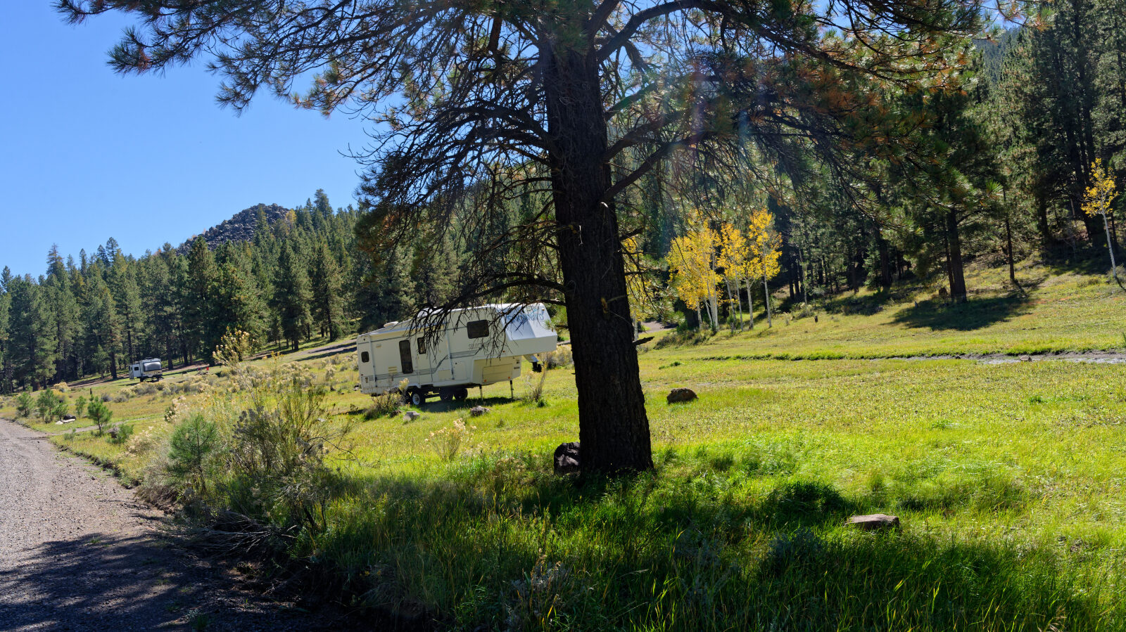
Waypoint 10 (37.71846, -112.60818)
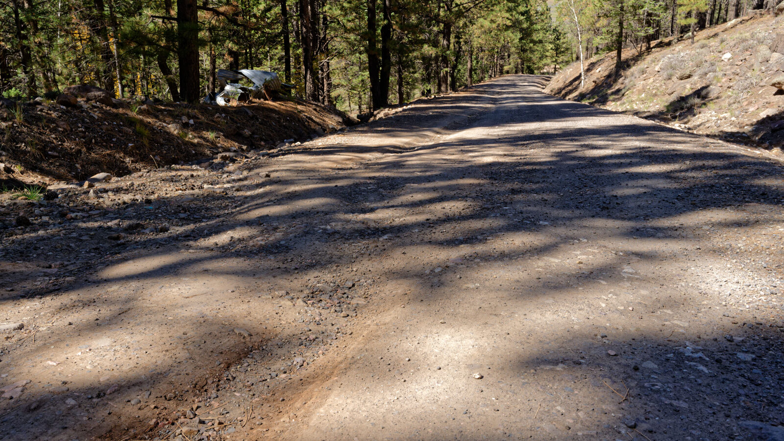
Waypoint 11 (37.72196, -112.61170)
A level 1 spot.
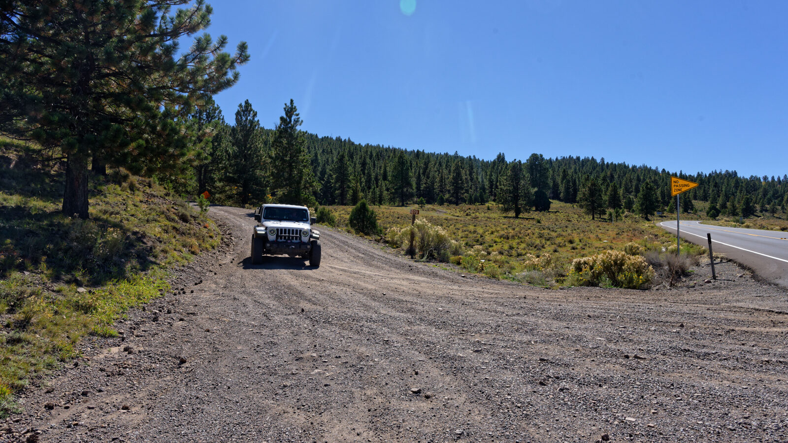
Waypoint 12 (37.72443, -112.61287)
End of the trail.