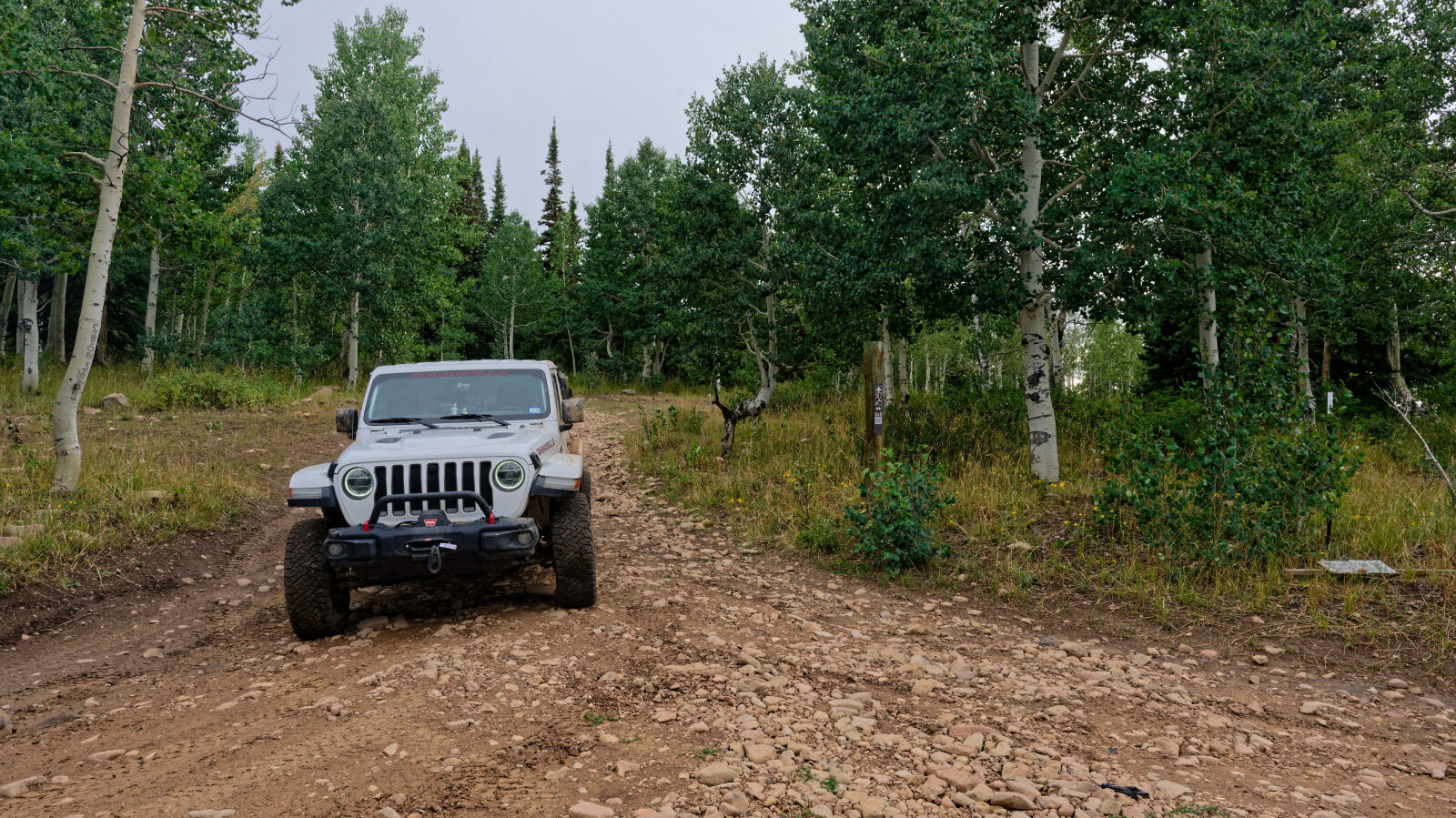
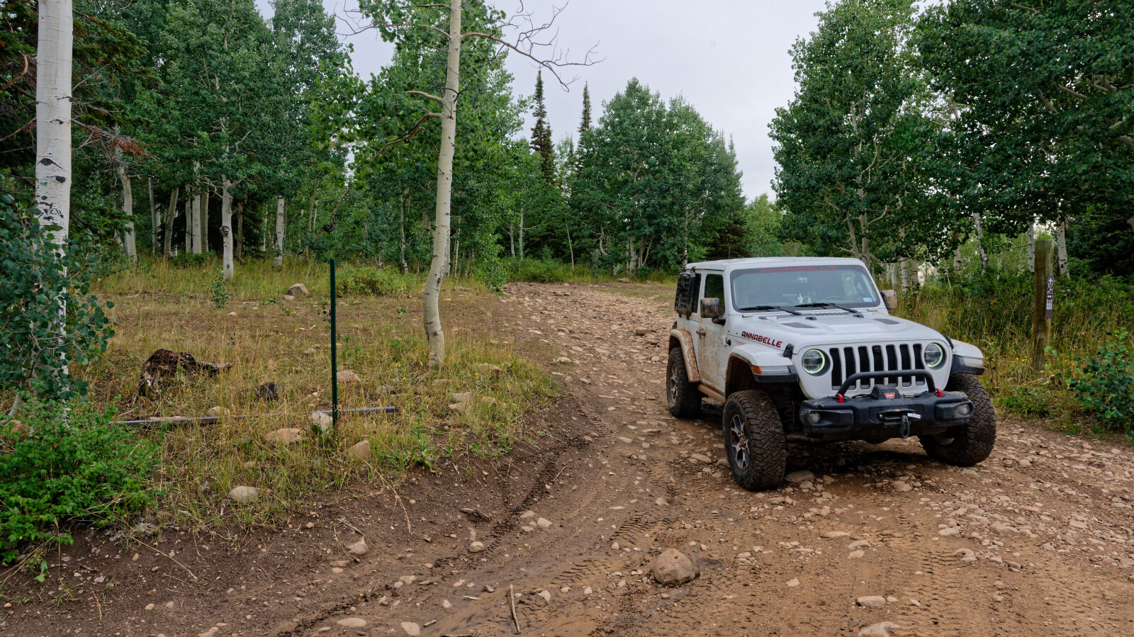
Strawberry Mtn - Level 3 (optional 5)
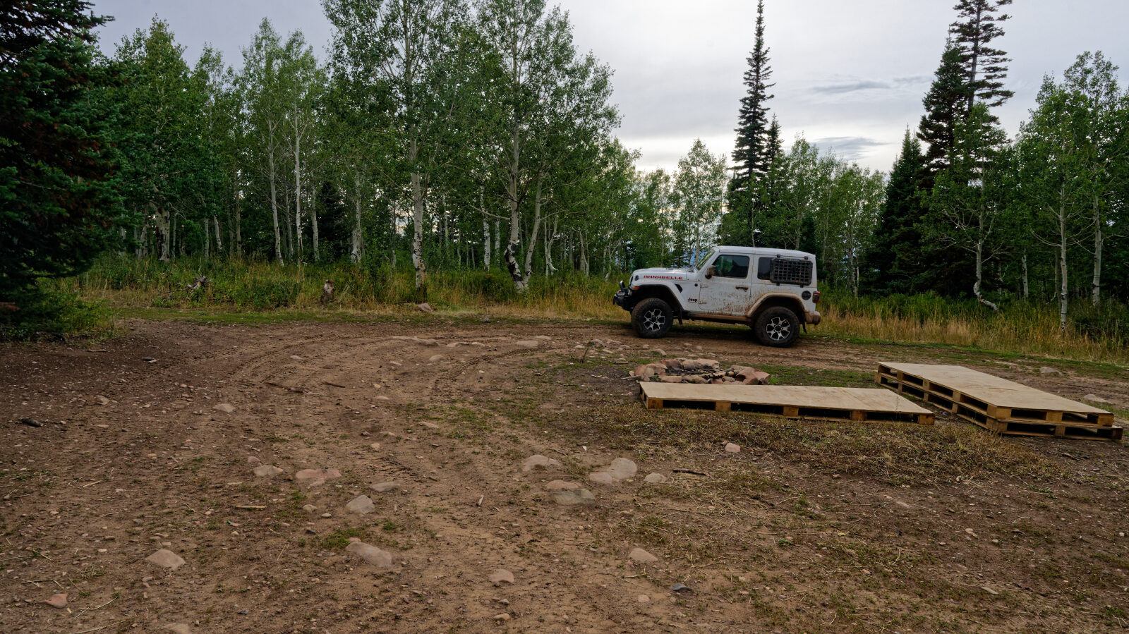
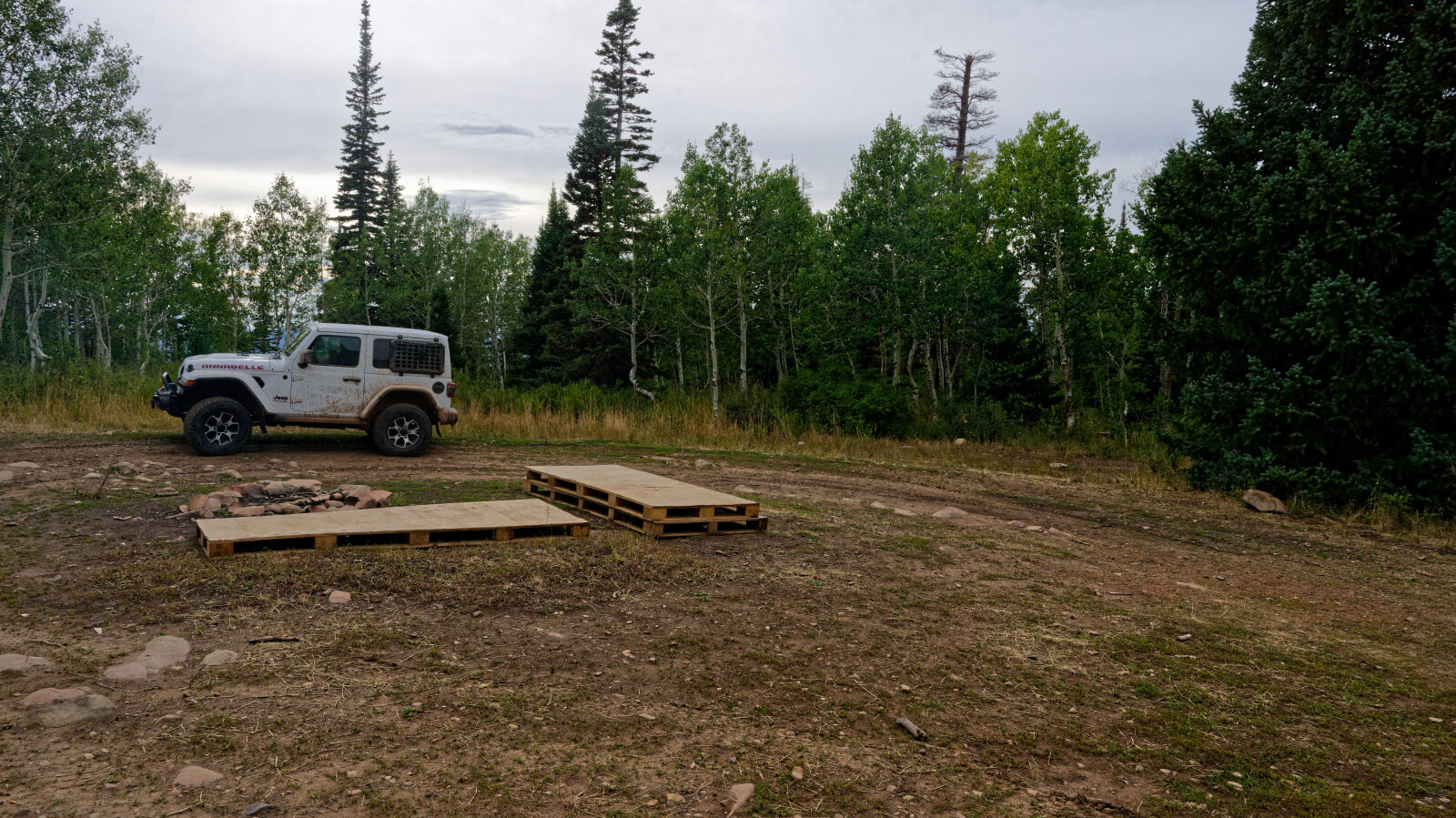
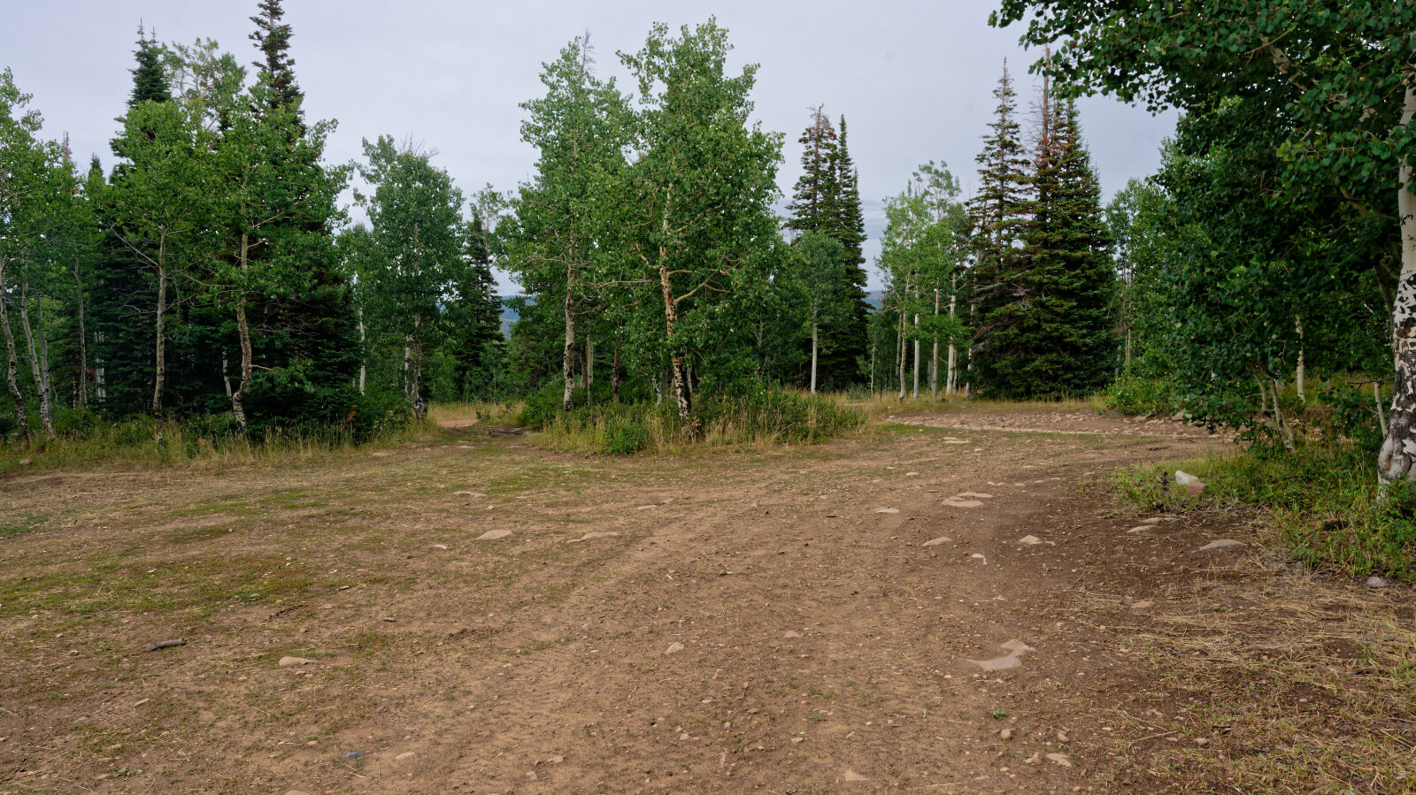
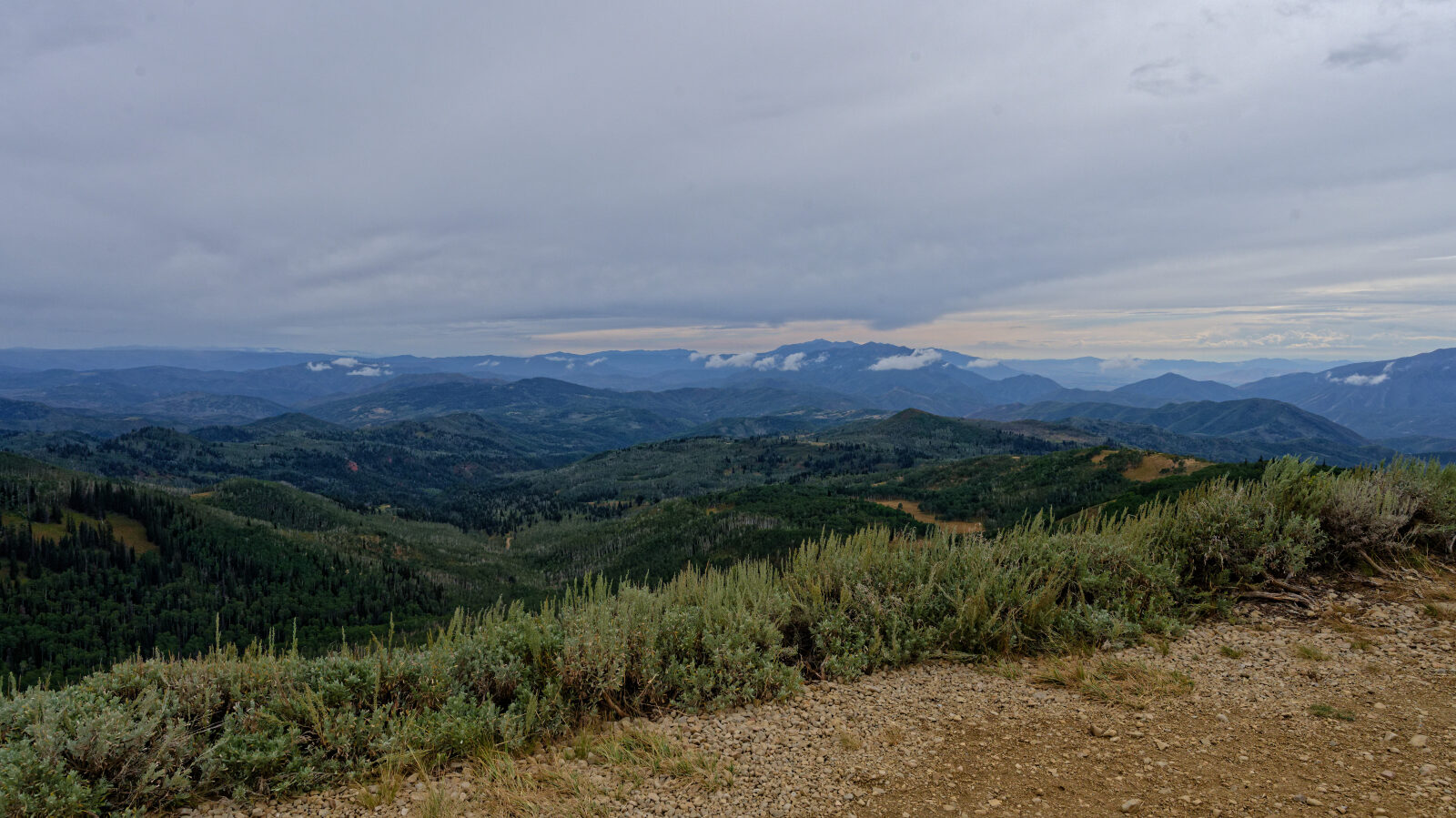
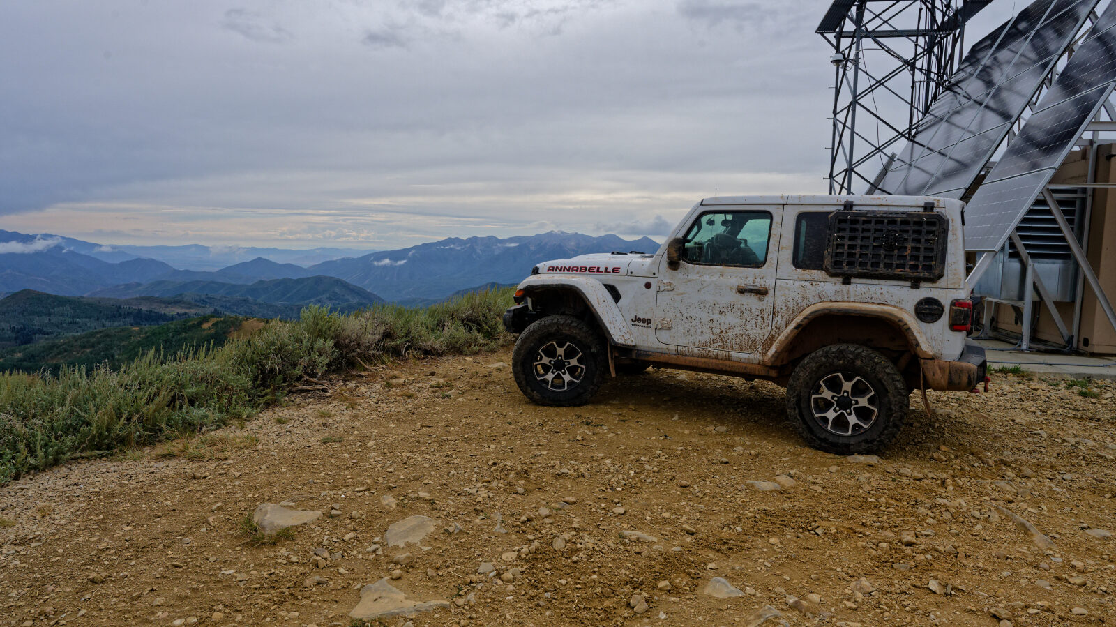
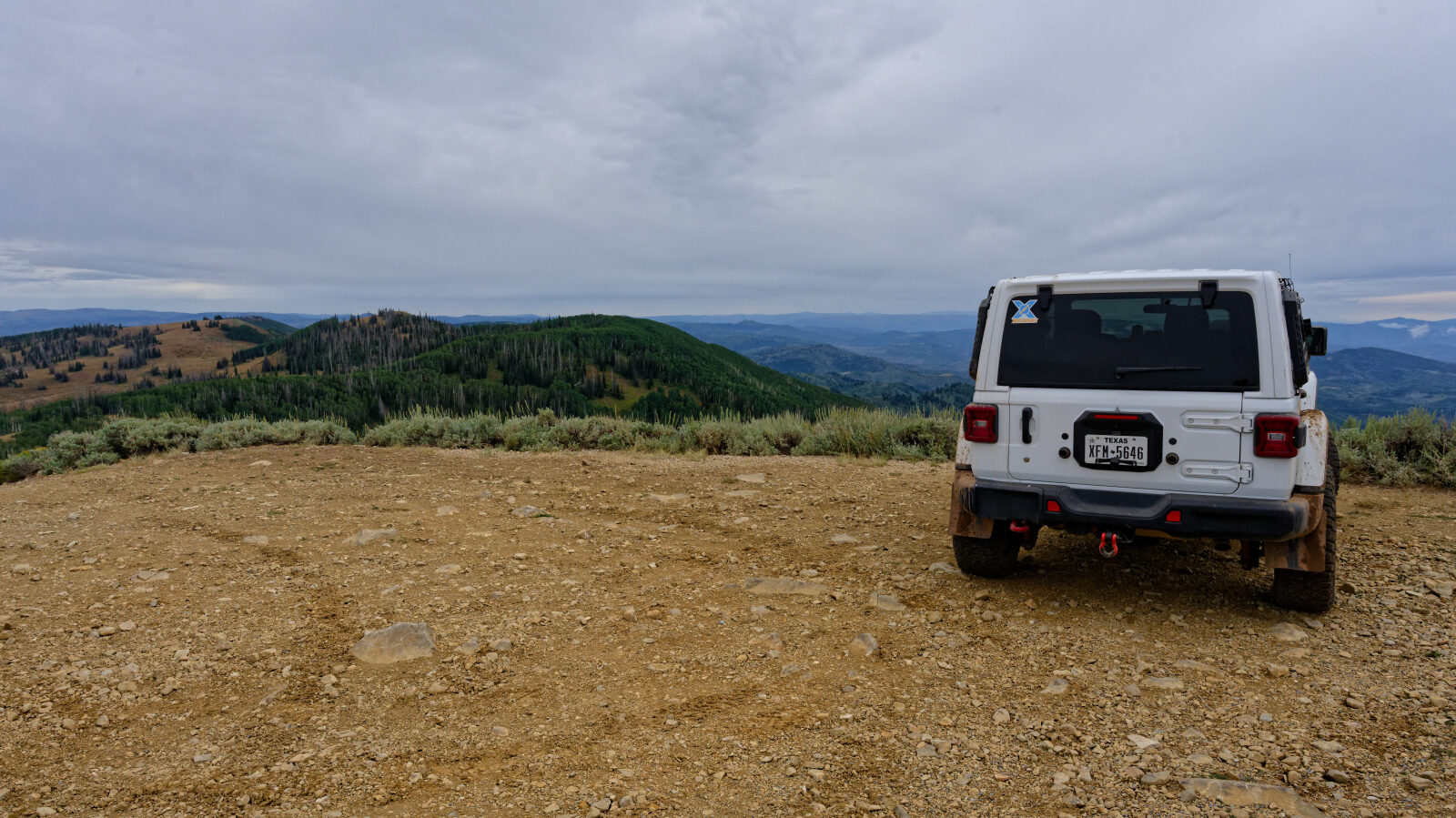
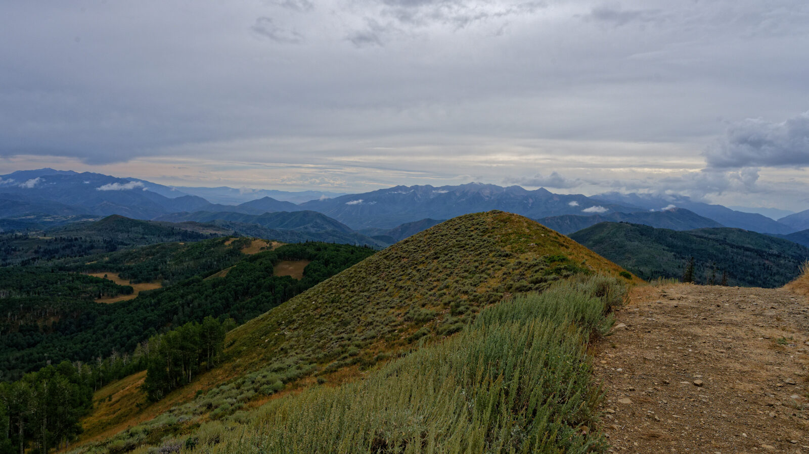
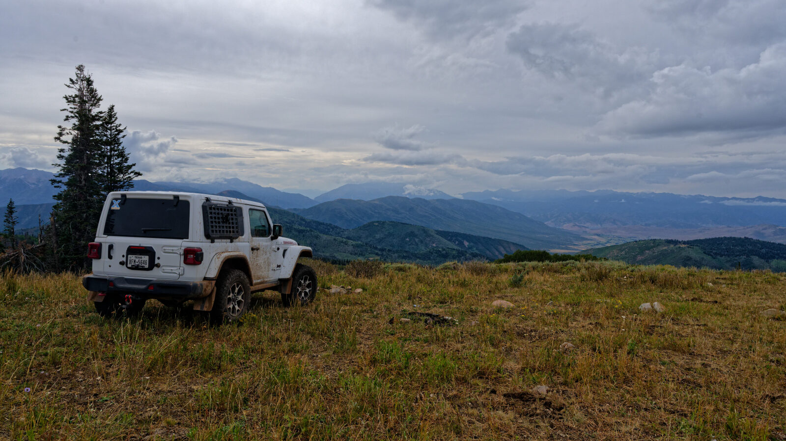
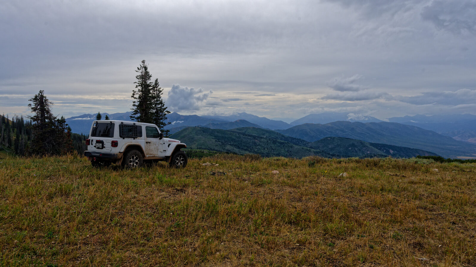
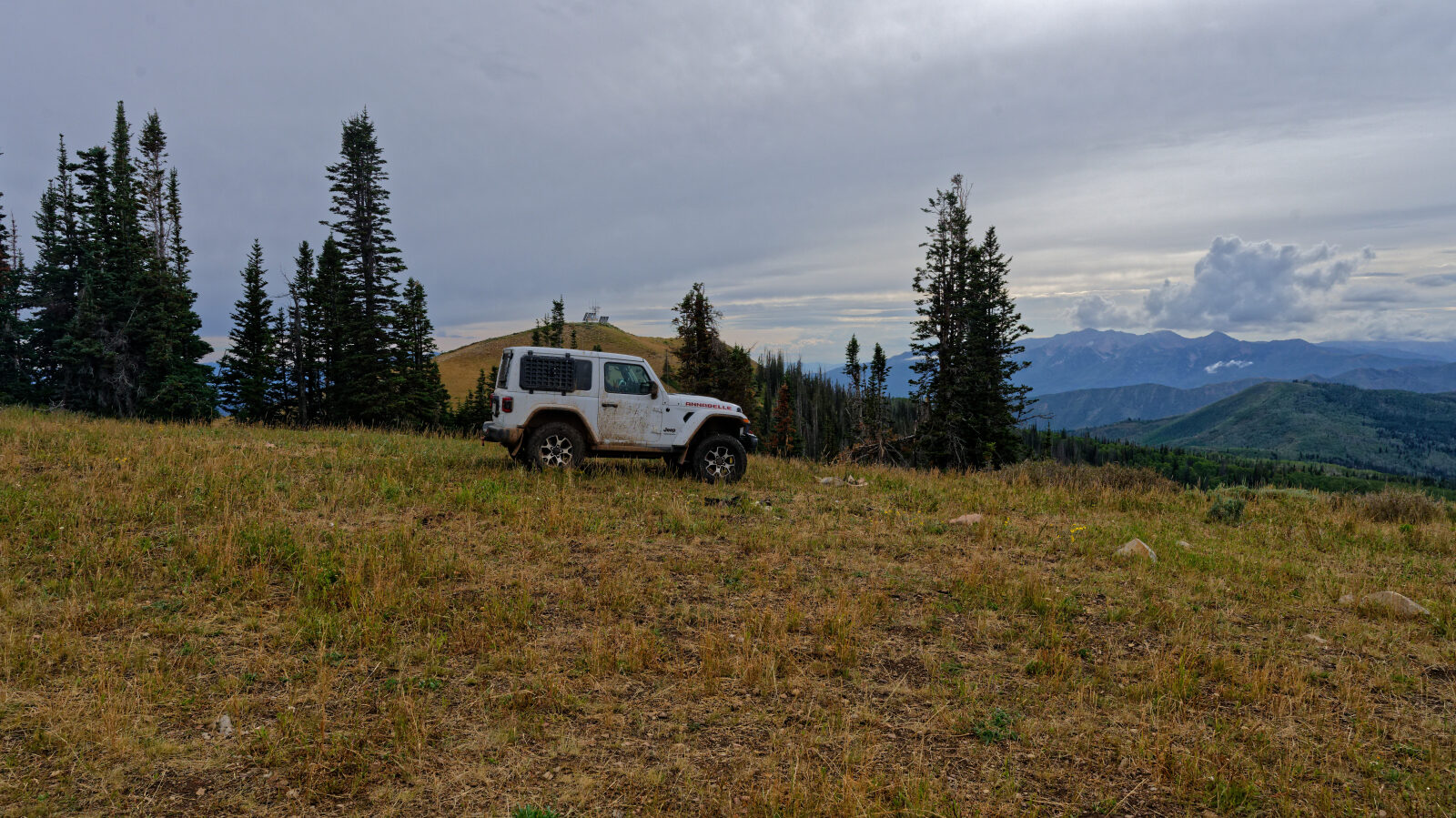
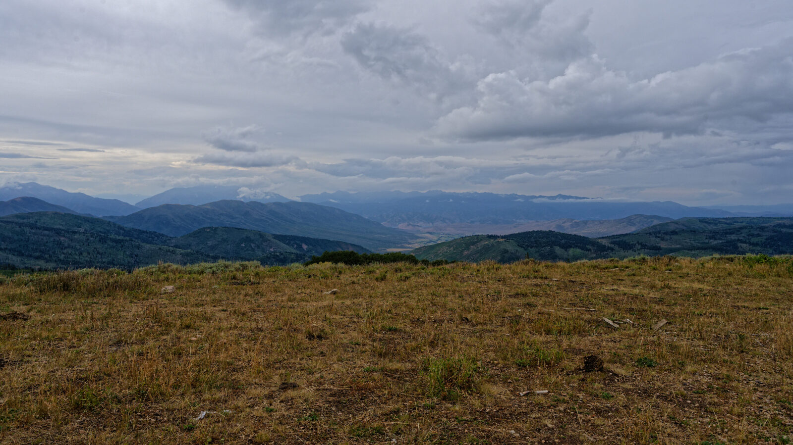
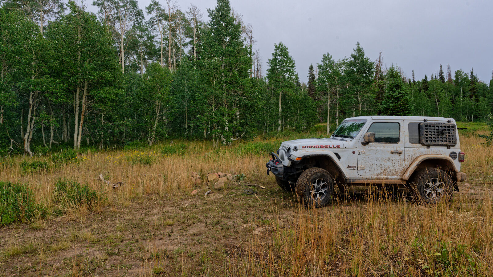
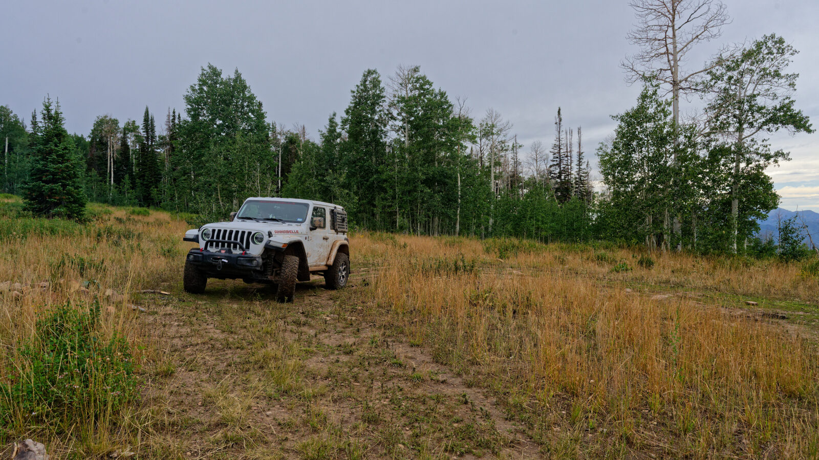
Strawberry Mountain sits in the Uinta-Wasatch-Cache National Forest east of Heber City, in the high country above Strawberry Reservoir. The route climbs through open ridgeline terrain with views across the surrounding basin and nearby peaks.
The trail is a short backcountry outing suited to a half day or less. It gives access to quiet high elevation scenery away from the main reservoir recreation areas.
Trail Summary
- LocationWasatch County, Utah
- Distance5.0 miles
- DifficultyLevel 3, with an optional Level 5
- Elevation8,948 ft to 9,716 ft with a 768 ft change
- Travel Time1 hour 13 minutes
Difficulty
Best suited for a high clearance 4x4
This trail is rated Moderate, level 3, best suited to a high clearance 4x4. Expect a stock vehicle with good ground clearance, 4WD and off-road tires to manage it. The surface can be uneven and rutted, with loose rocks, and obstacles are generally under 12 inches, such as ledges, short steep grades and possible mud holes. The road is mostly one vehicle wide with places to pass. The driver's log did not call out any specific obstacles. Drivers who want more challenge can take an optional harder line at level 5 (Difficult). That line suits a lightly modified 4x4 with a small lift, larger than stock tires, skid plates and rock sliders. It can have obstacles up to 2 feet, off-camber sections and deeper water or mud. You can also stay on the easier line.
Map
The interactive map needs JavaScript. Every waypoint is also listed below.
Waypoints
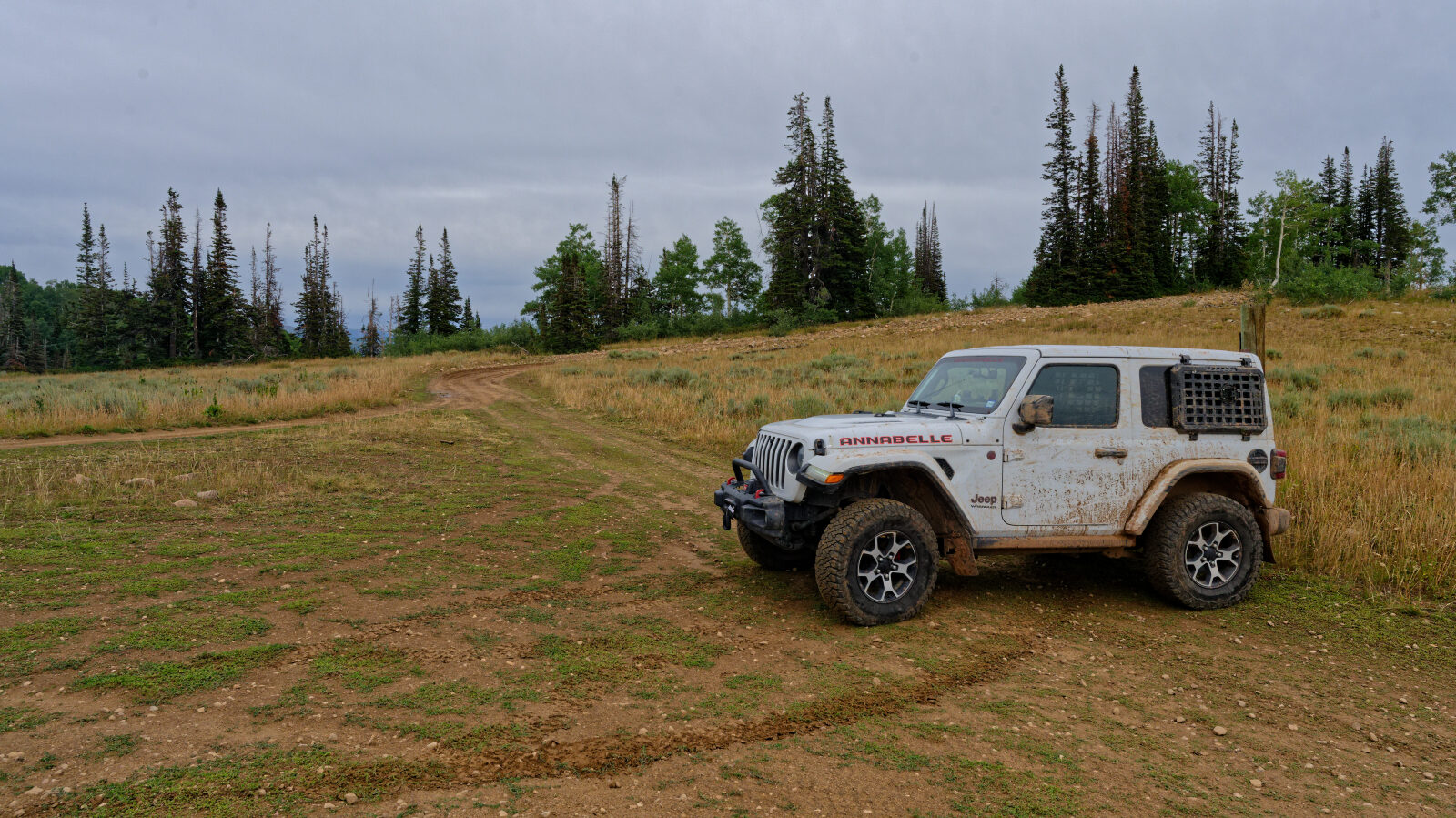
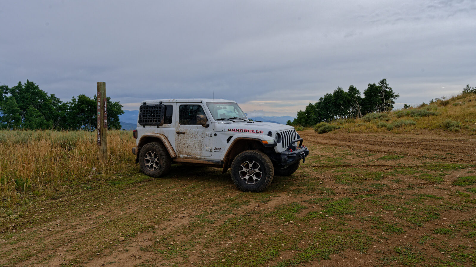
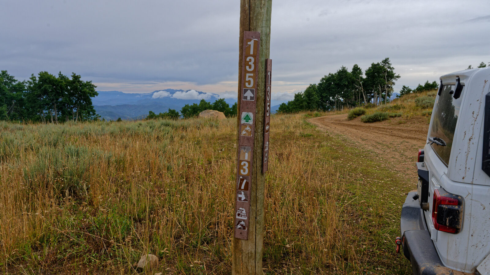
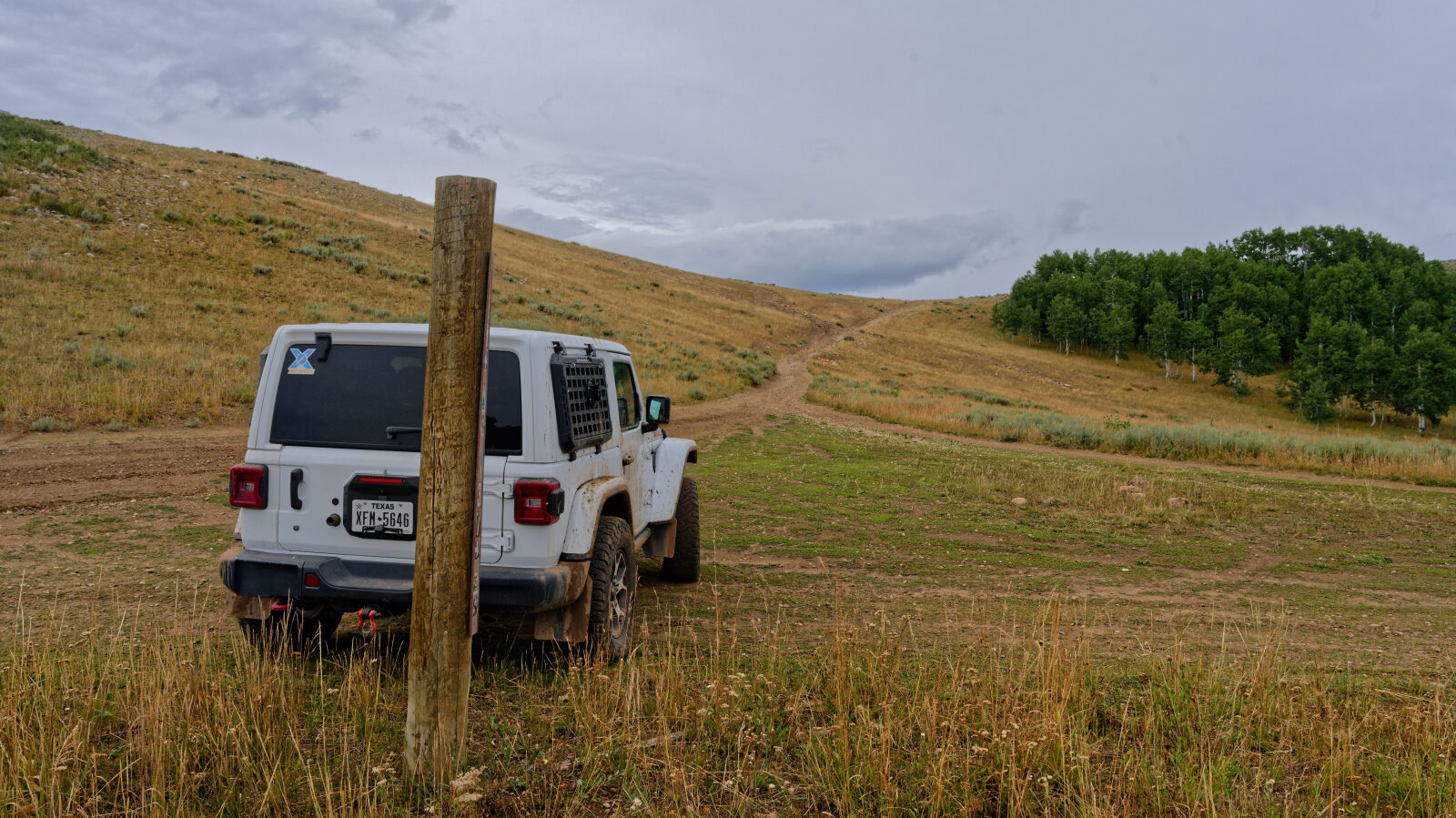
Waypoint 1 (40.28645, -111.31170)
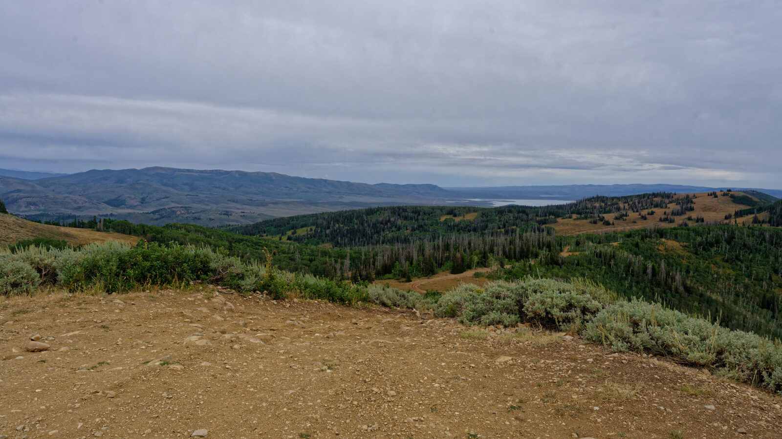
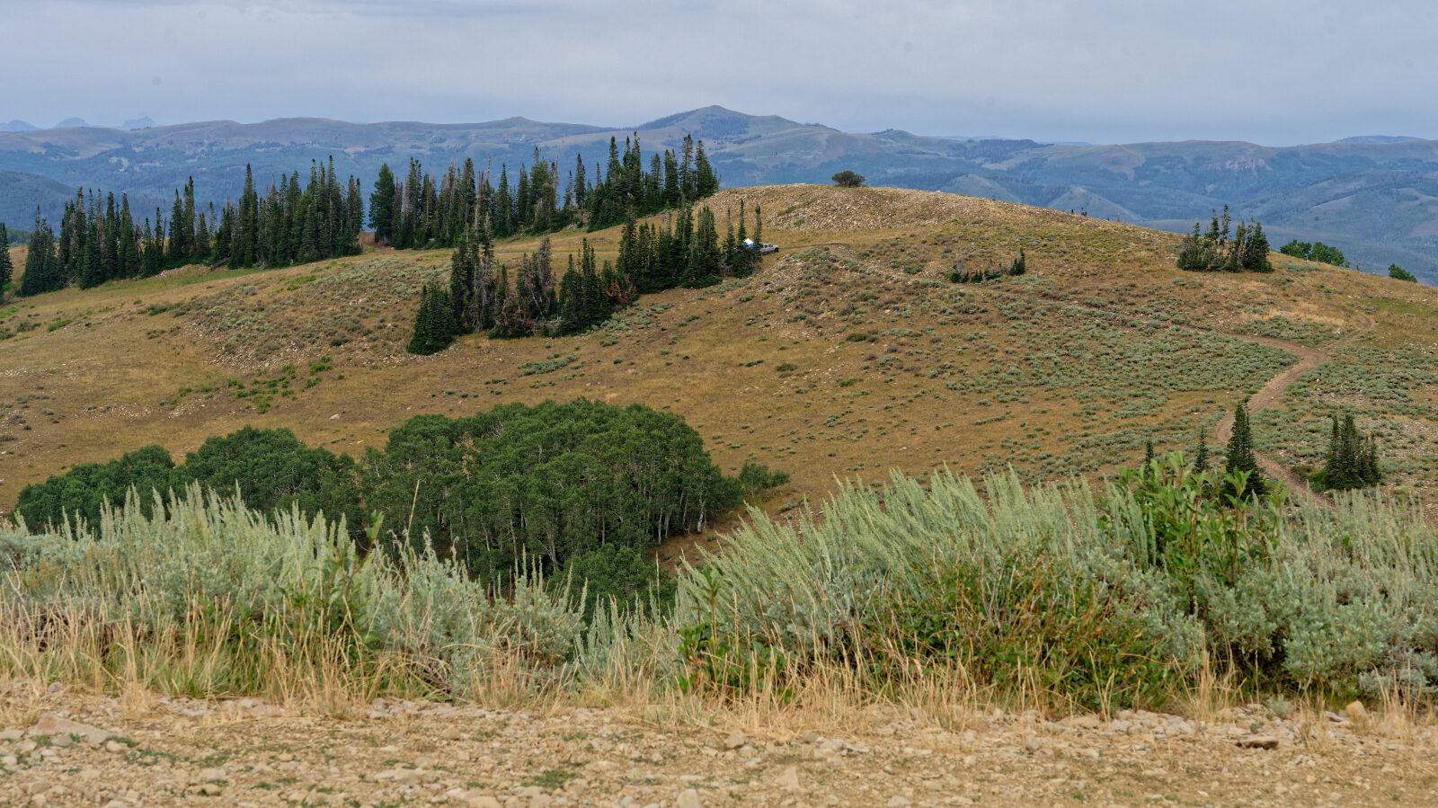
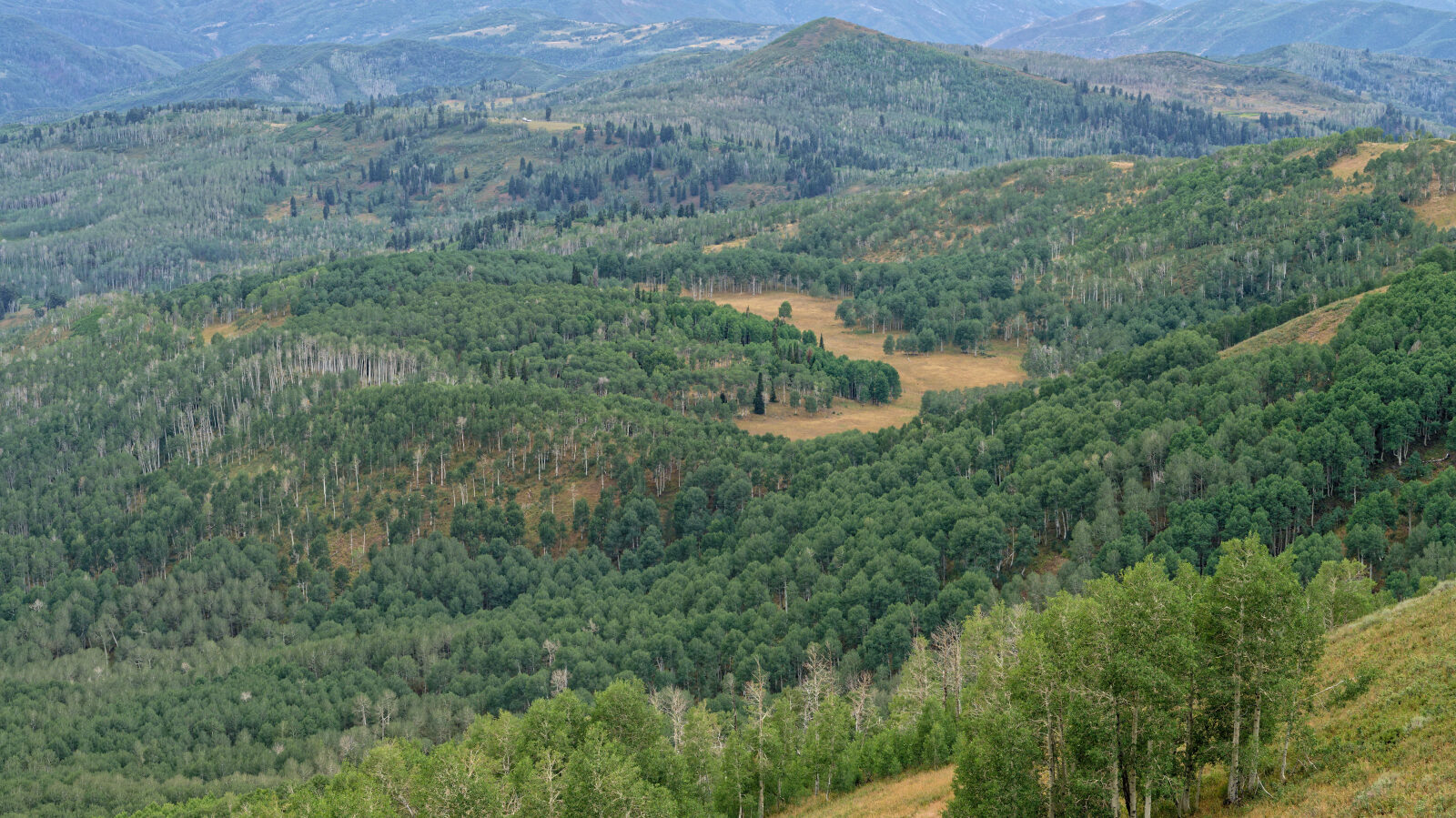
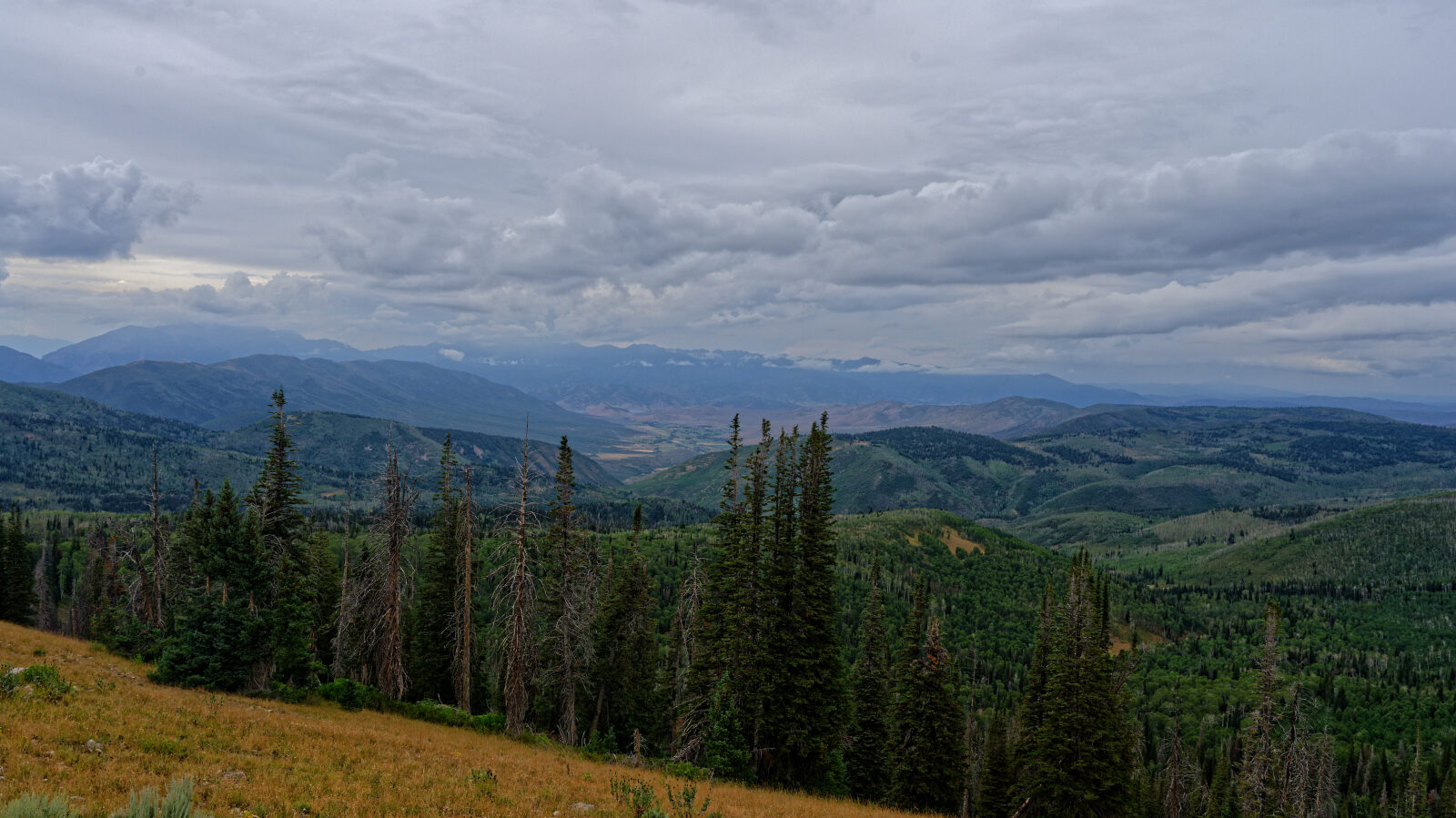
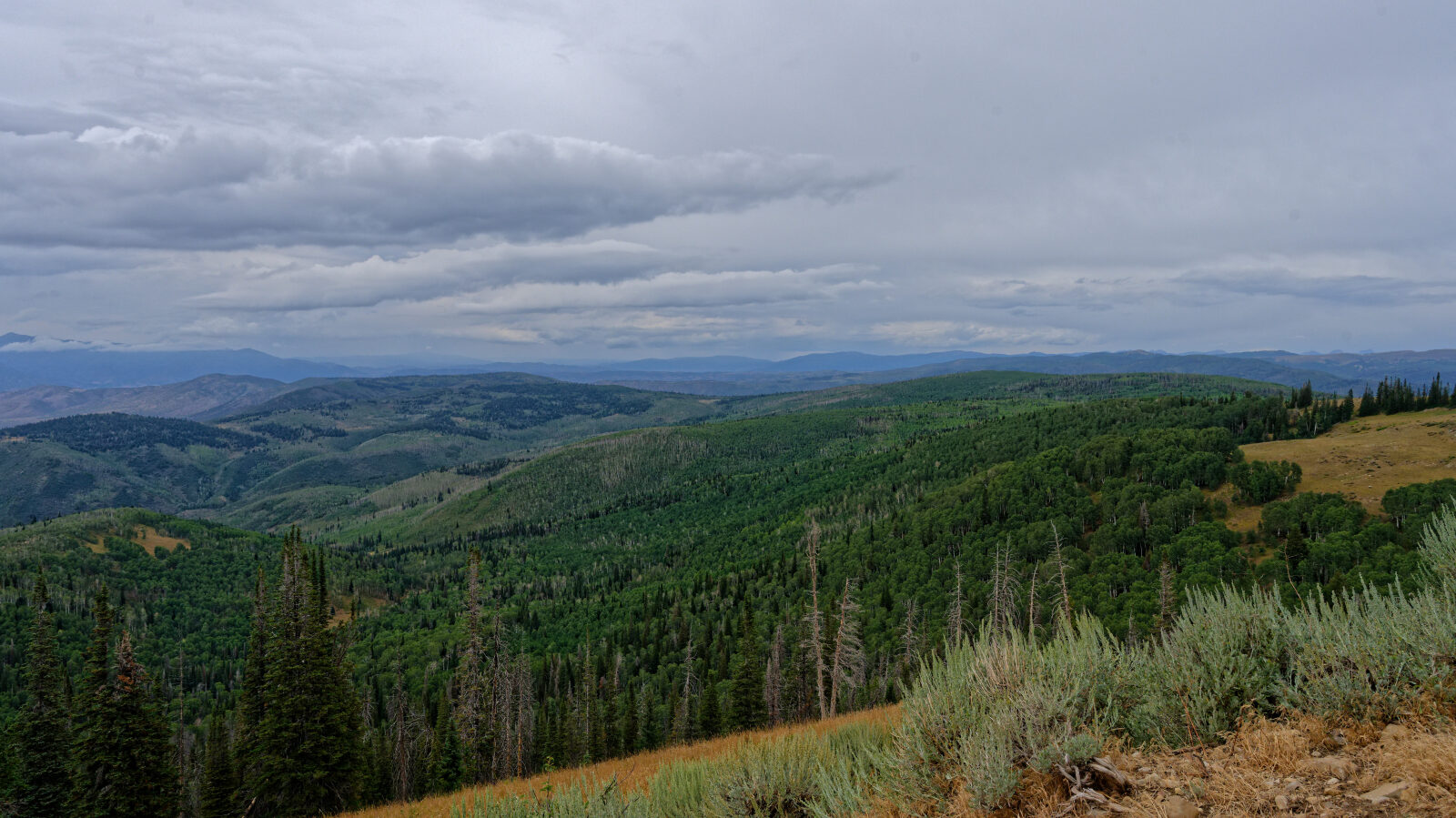
Waypoint 2 (40.28753, -111.31488)
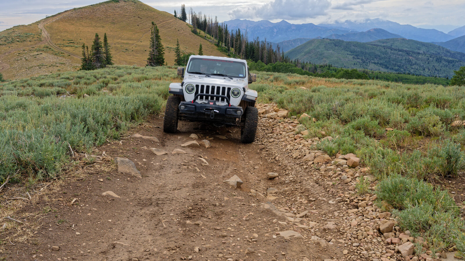
Waypoint 3 (40.28923, -111.31094)
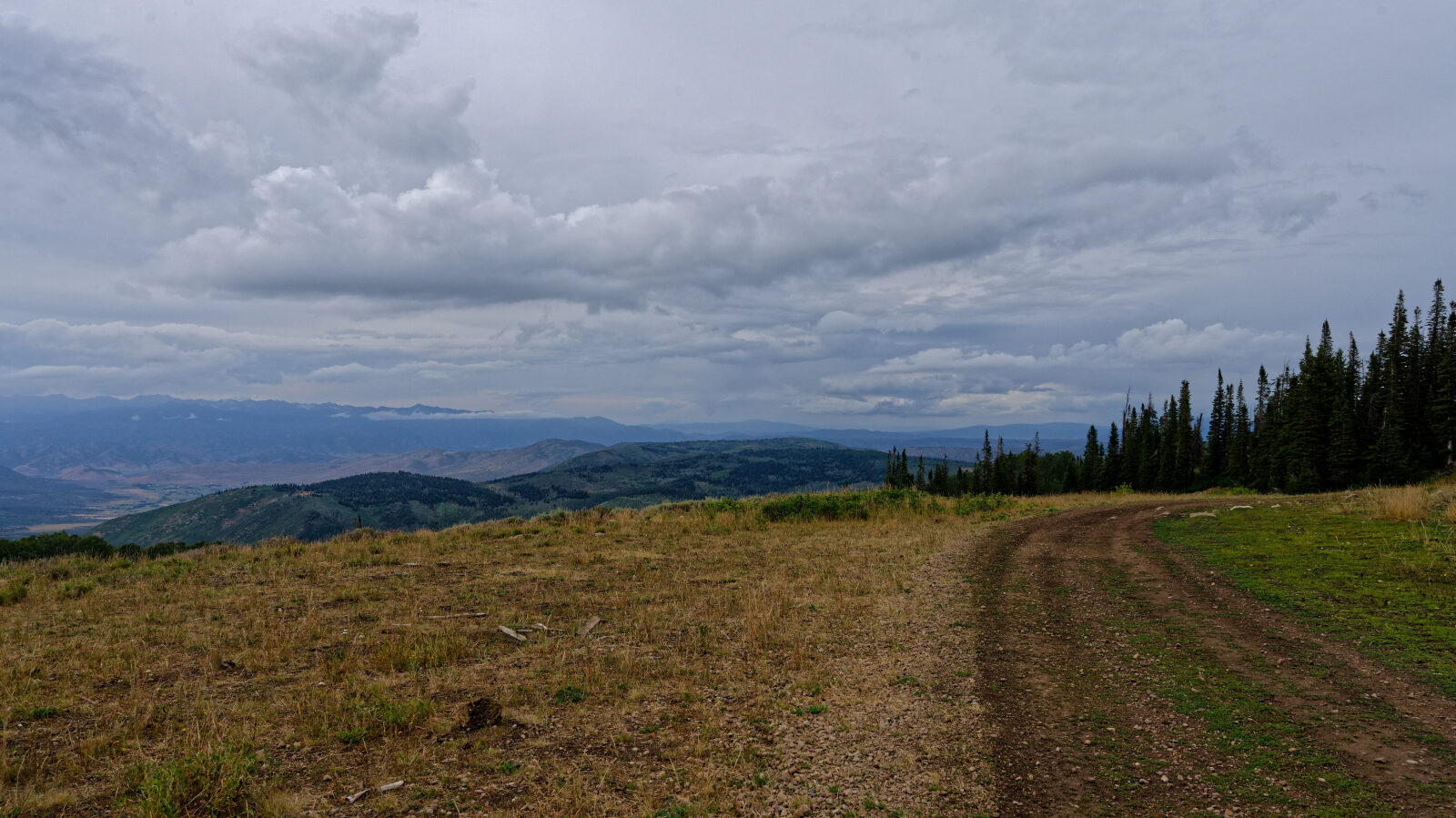
Waypoint 4 (40.29080, -111.31023)
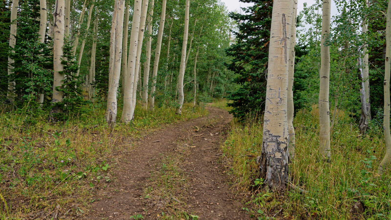
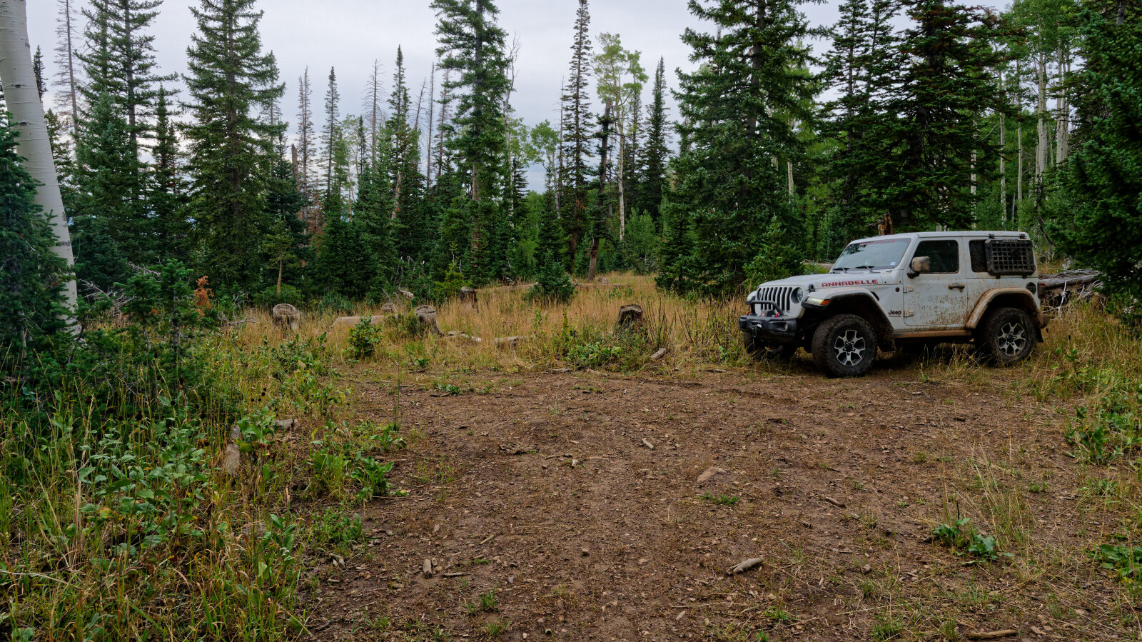
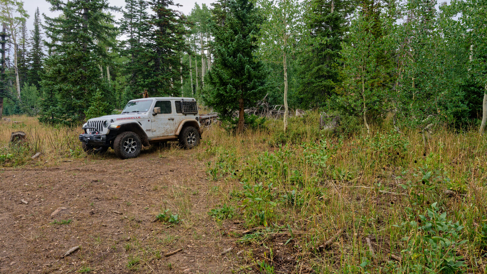
Waypoint 5 (40.32163, -111.29974)
Waypoint 6 (40.32967, -111.30026)