Strawberry Ridge Indian Springs - Level 2
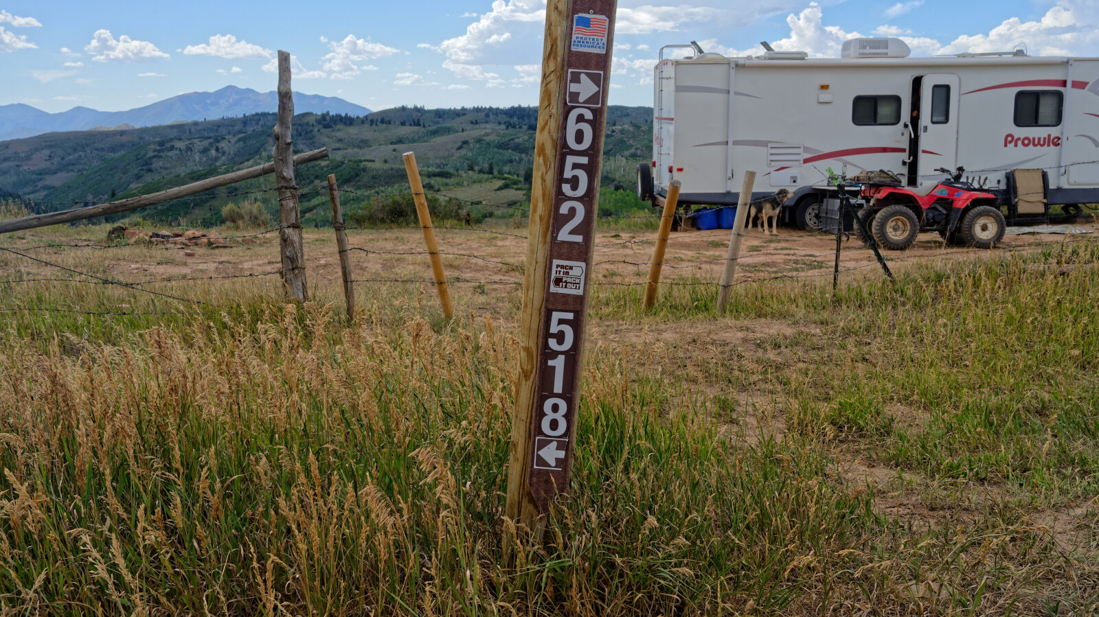
This route follows Strawberry Ridge through the high forest country of Wasatch County, Utah. It begins on a graded gravel road and continues north along the ridge on forest roads numbered 70501 and 70518. The log treats the road as one continuous route, since 70501 runs into 70501A with no intersection.
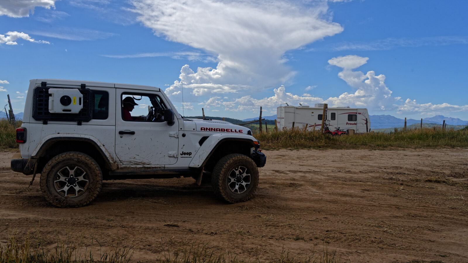
Camping is the main draw. Dispersed sites appear at several points along the road, from private spots set back in the trees to open pullouts beside the road.
Trail Summary
- LocationWasatch County, Utah
- Distance8.5 miles
- DifficultyLevel 2
- Elevation8,155 ft to 8,665 ft with a 510 ft change
- Travel Time58 minutes
Difficulty
Typically suitable for high clearance 2WD
Level 2 is Easy and typically suits a high clearance 2WD vehicle. Stock equipment is enough, though traction and ground clearance may be tested by rocks, dips, ruts and small ledges under about 9 inches. The road is unmaintained after rain or snow and is usually one to two vehicles wide. The log rates the hardest spot, near waypoint 8, as easily a 2 in the dry season. In the wet season the driver says you will need four wheel drive there. Check recent conditions before you go. Ruts were present near waypoint 5 when the trail was driven.
Terrain
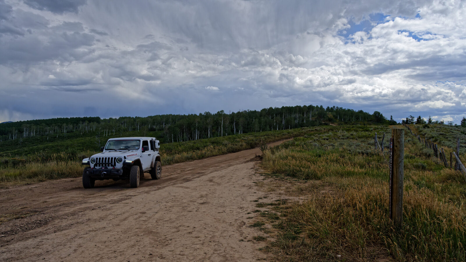
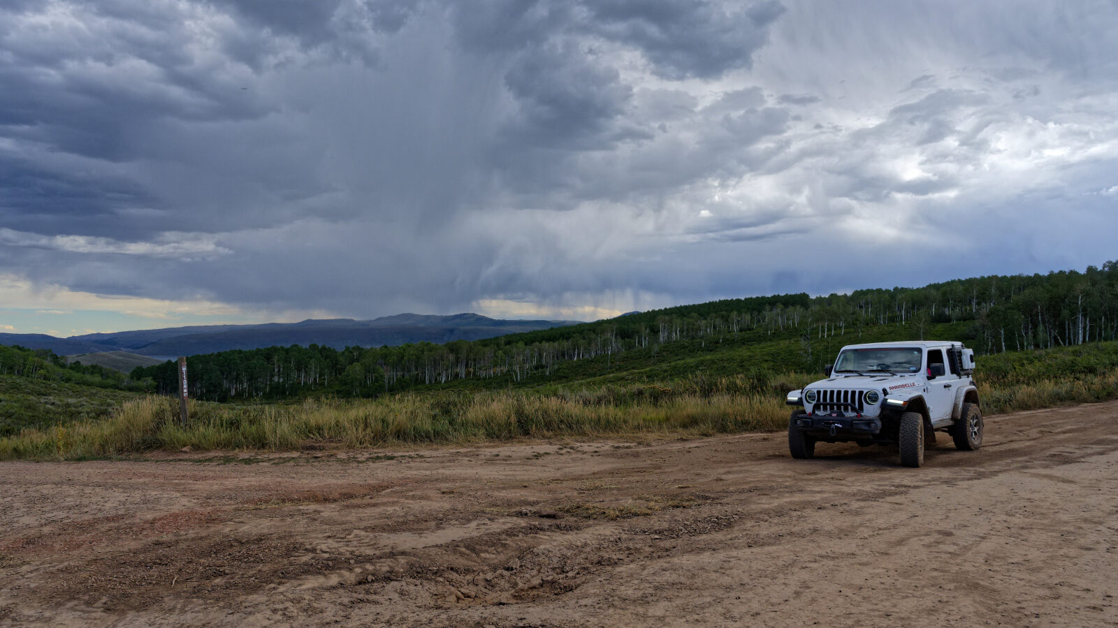
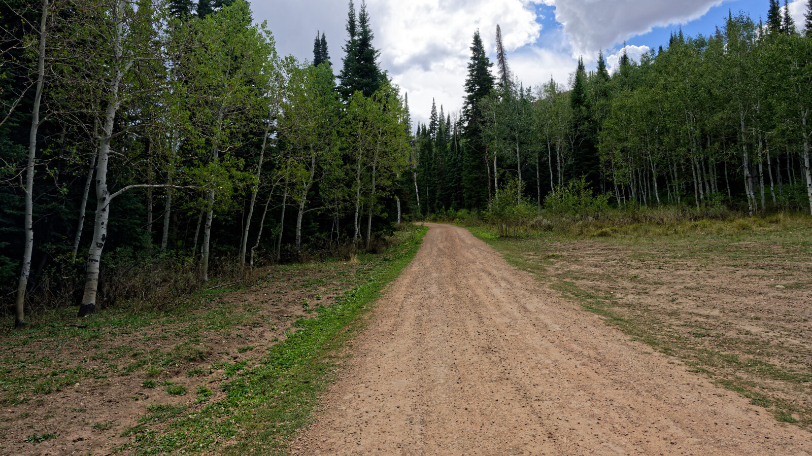
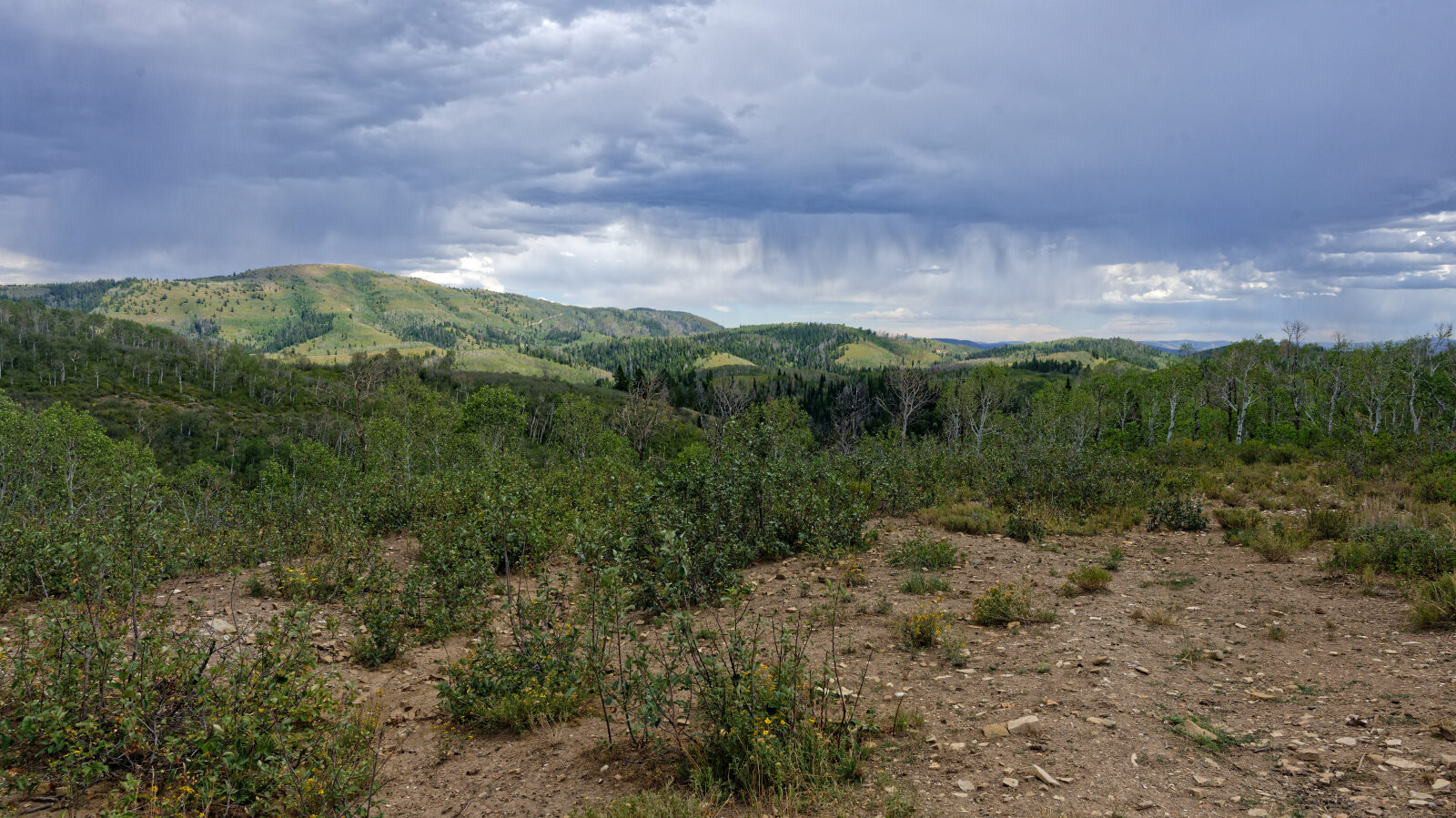
The trail starts on easy, smooth-ish gravel and becomes a dirt forest road as it climbs along the ridge. Some sections are rutted. The road passes through mixed trees and open clearings. One stretch near the north end is a shelf road, but it is wide enough that the driver had no concerns about the drop.
Highlights
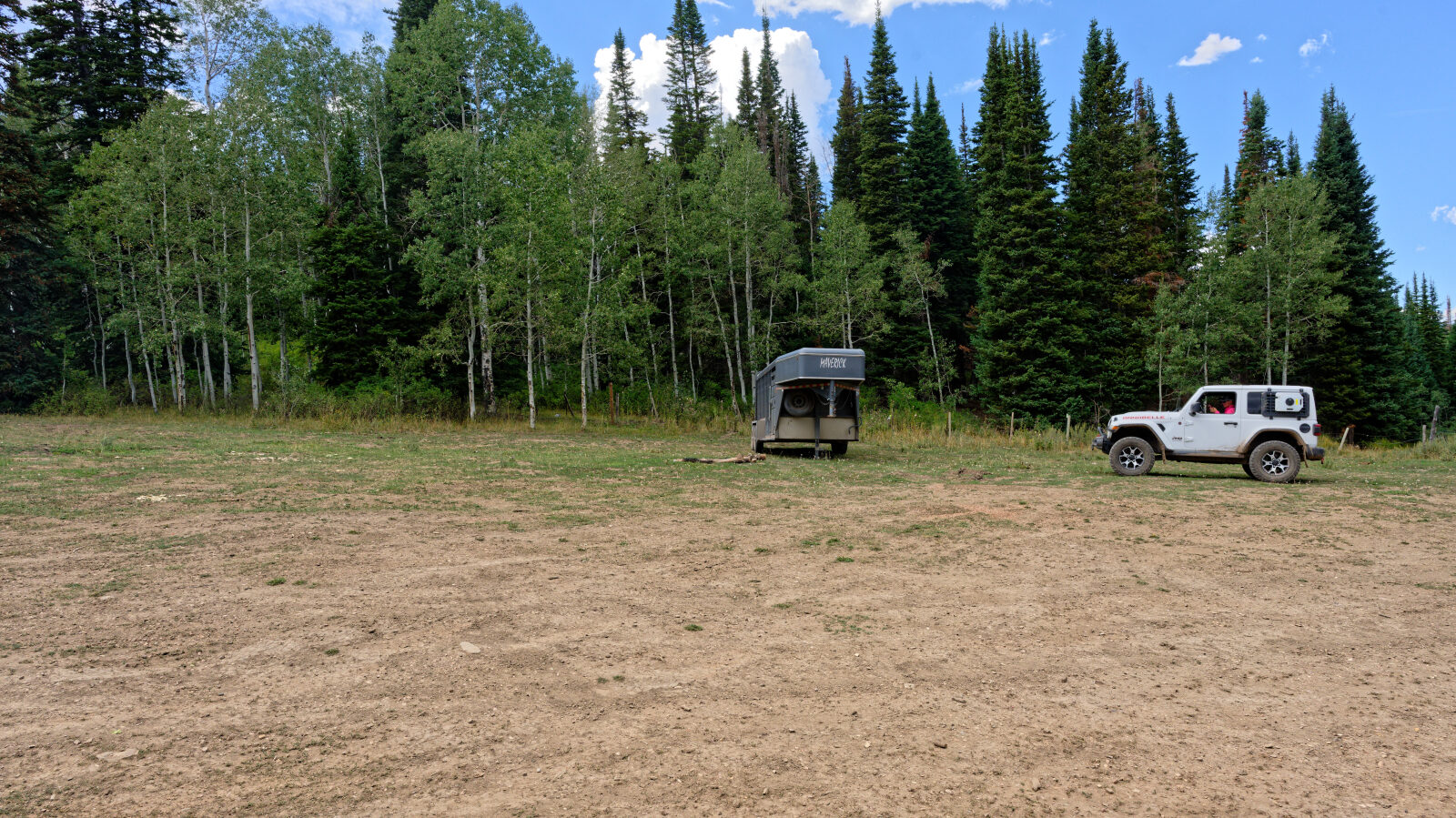
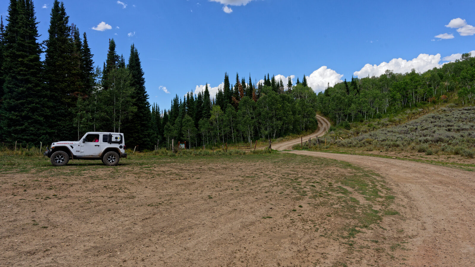
Camping spots are plentiful along the whole route. Some are private and tucked in the trees, with room for five to ten rigs. Others sit right beside the road and get afternoon shade. Shade is limited at the open sites unless you park next to the trees.
Map
The interactive map needs JavaScript. Every waypoint is also listed below.
Waypoints
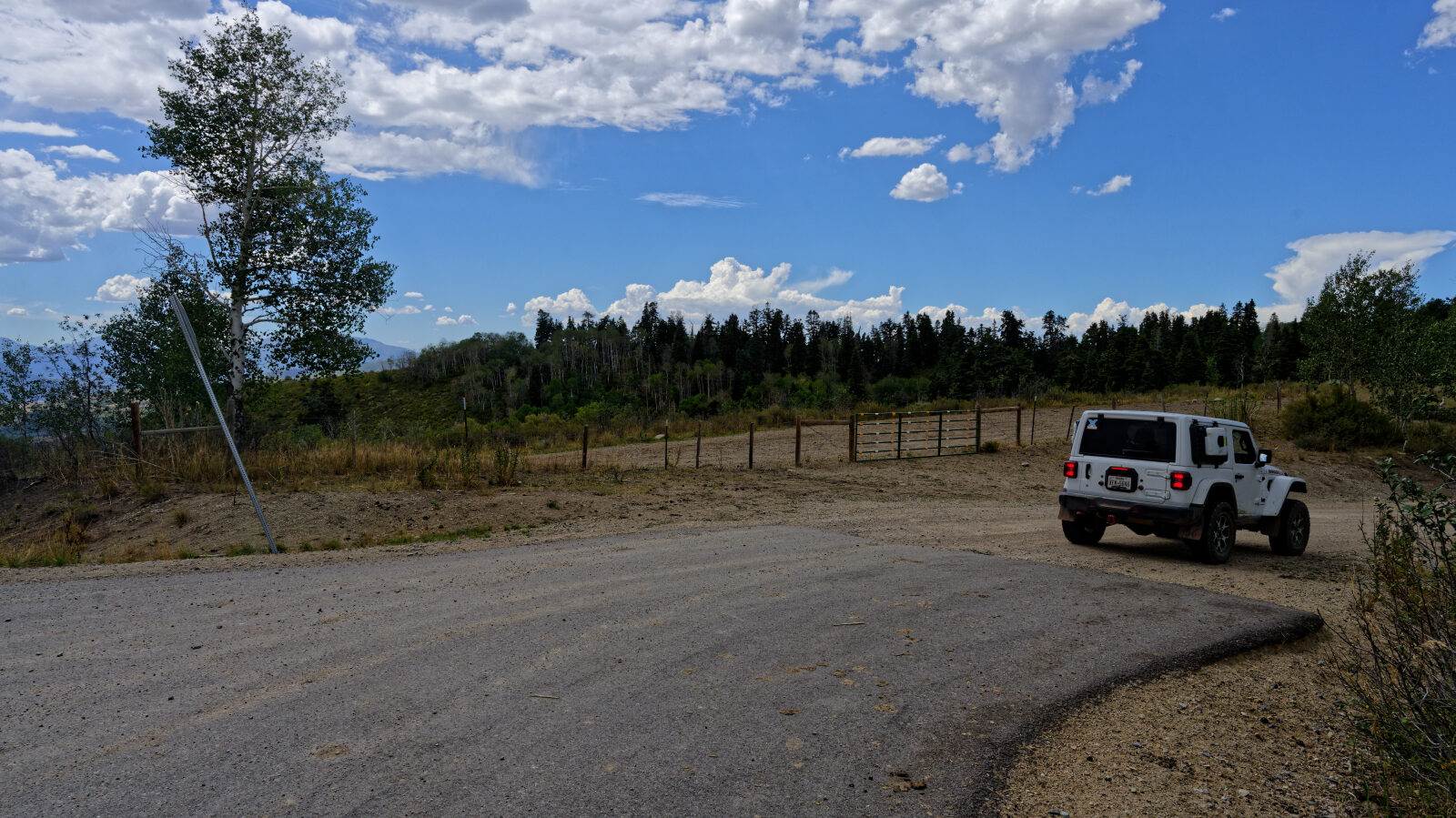
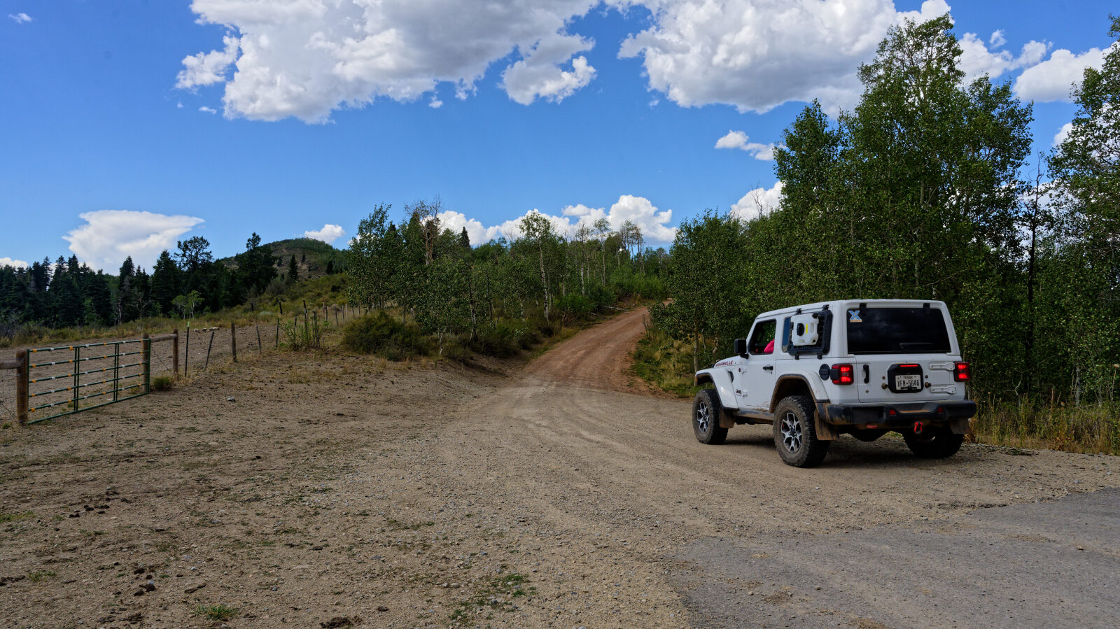
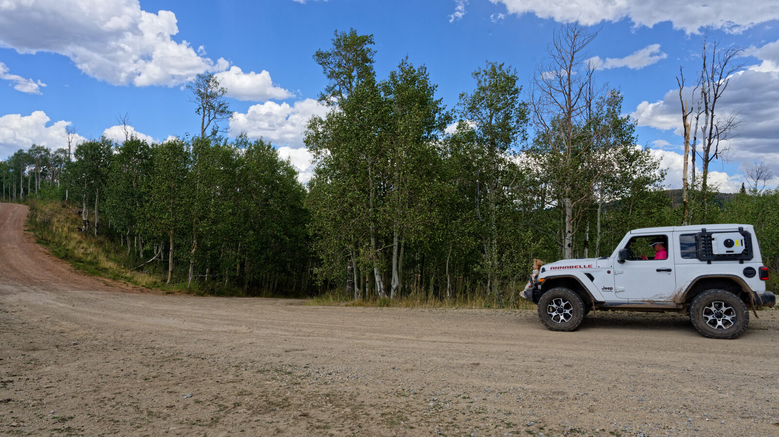
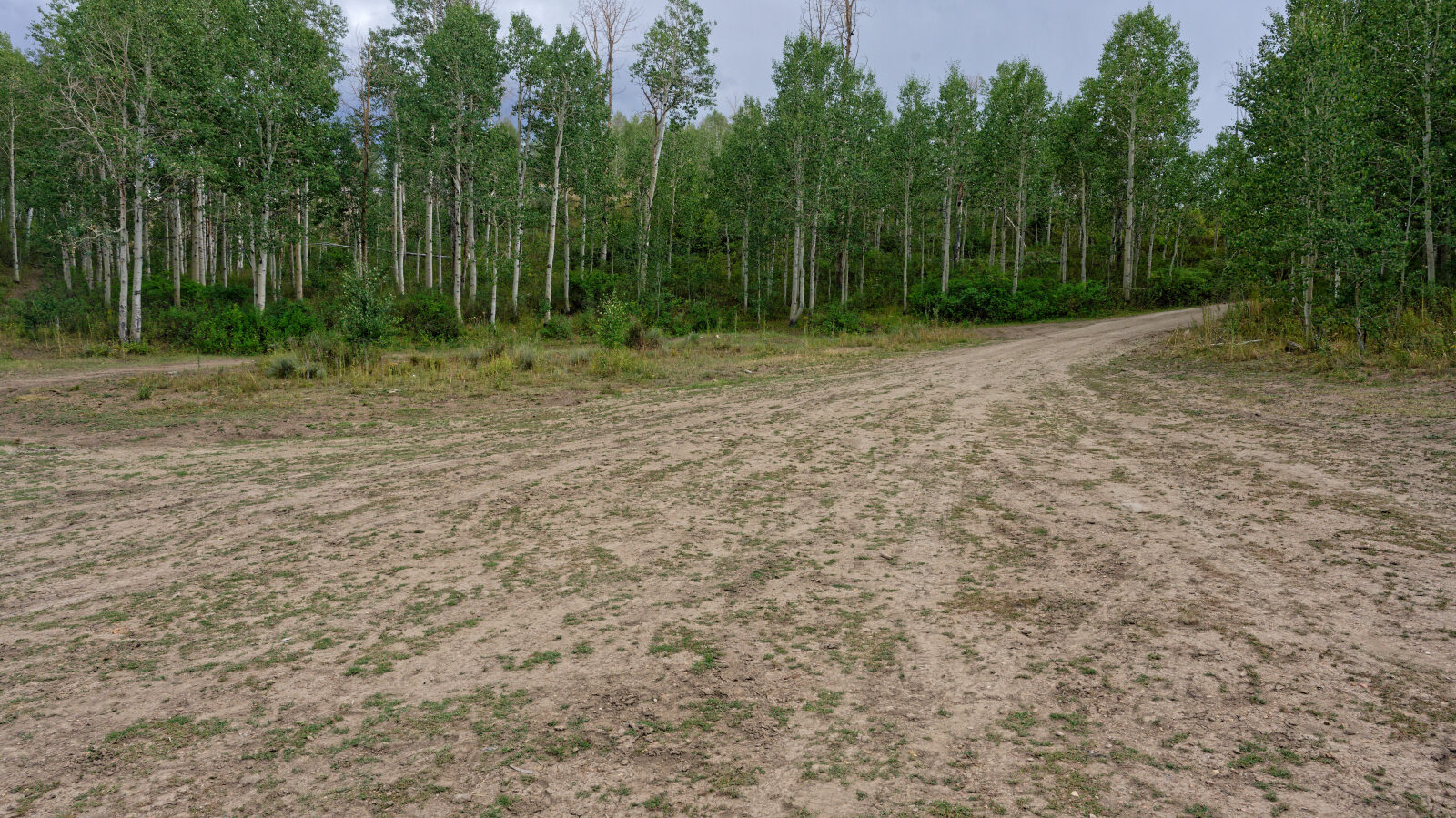
Waypoint 1 (40.03875, -111.23806)
Start of Indian Springs, trail 70501.
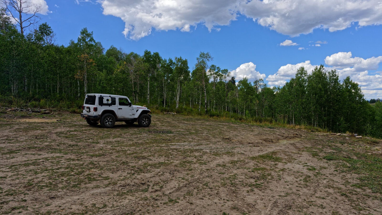
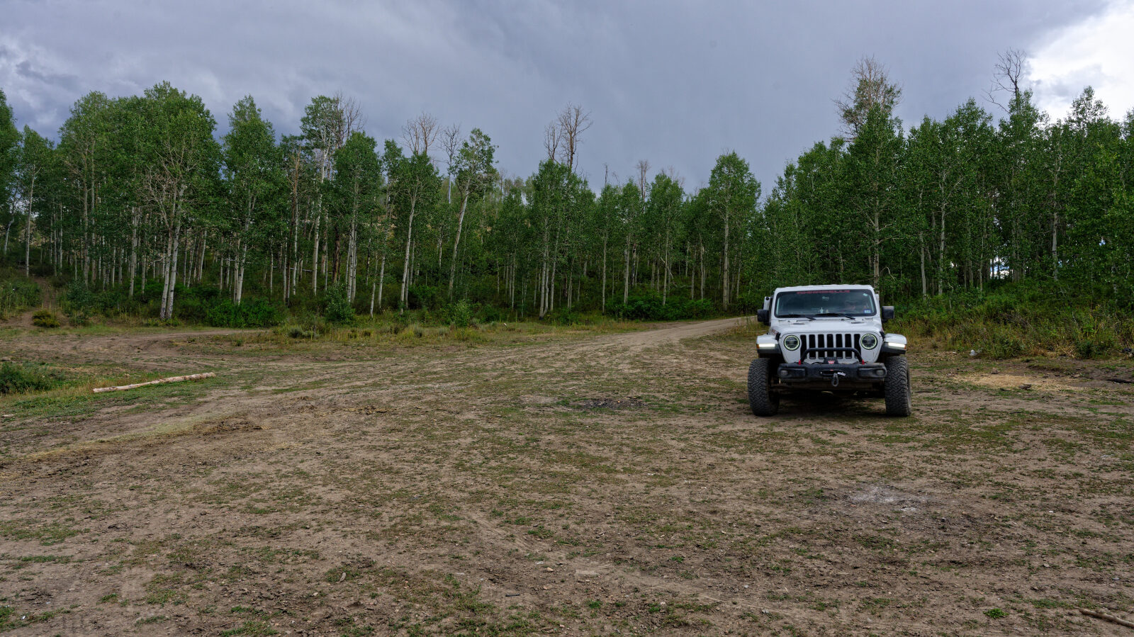
Waypoint 2 (40.03957, -111.23733)
A fairly private camping spot with room for five to ten rigs. There is no shade unless you park next to the trees.
Waypoint 3 (40.04110, -111.23903)
The trail begins as an easy, smooth-ish gravel road.
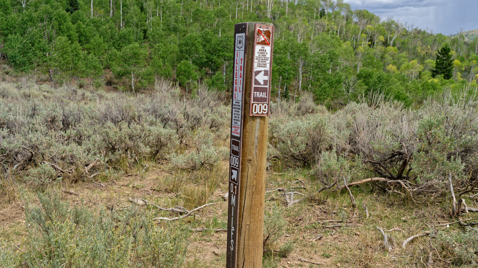
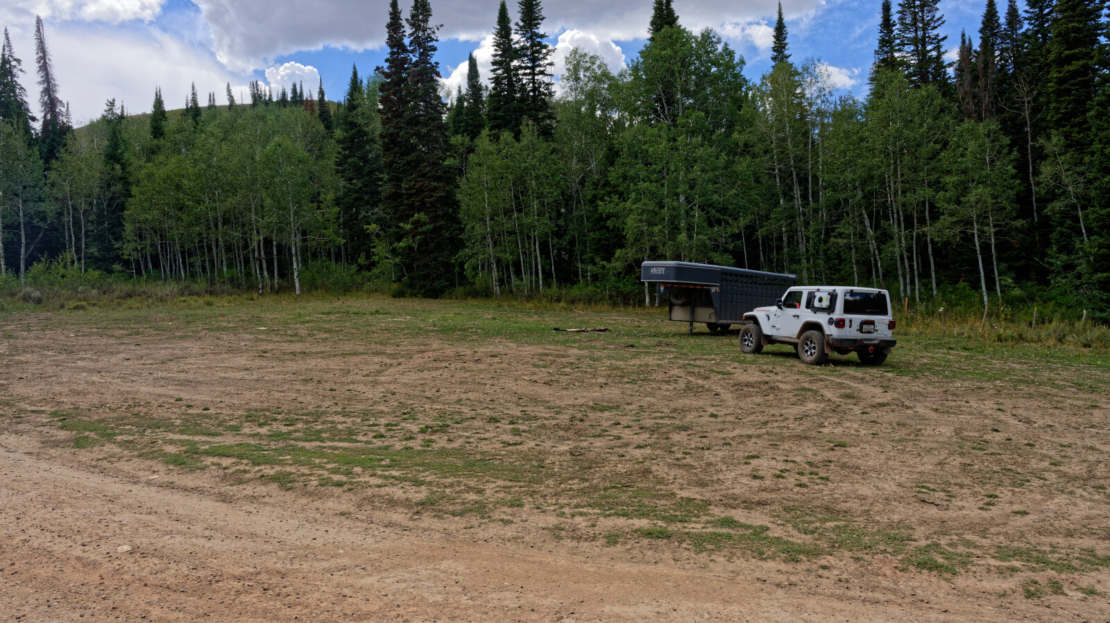
Waypoint 4 (40.06128, -111.24366)
A camping spot next to the road. It is not private and gets afternoon shade.
Waypoint 5 (40.06244, -111.24361)
The road can be a little rutty here, and it was when driven.
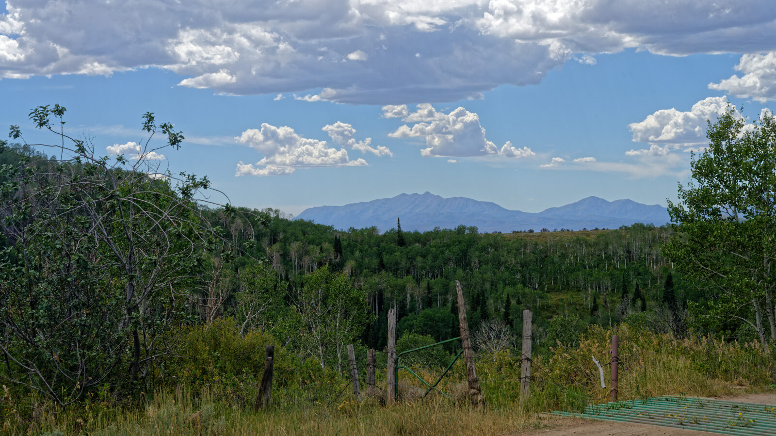
Waypoint 6 (40.06458, -111.24265)
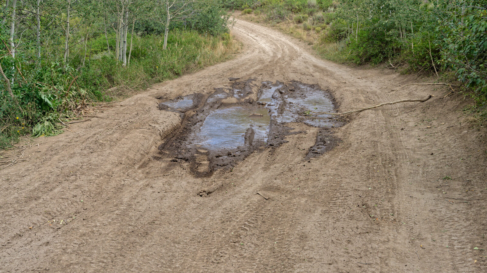
Waypoint 7 (40.06765, -111.23912)
Waypoint 8 (40.06885, -111.23773)
Possibly the hardest spot on the trail. It is easily a 2 in the dry season, but four wheel drive is needed when wet.
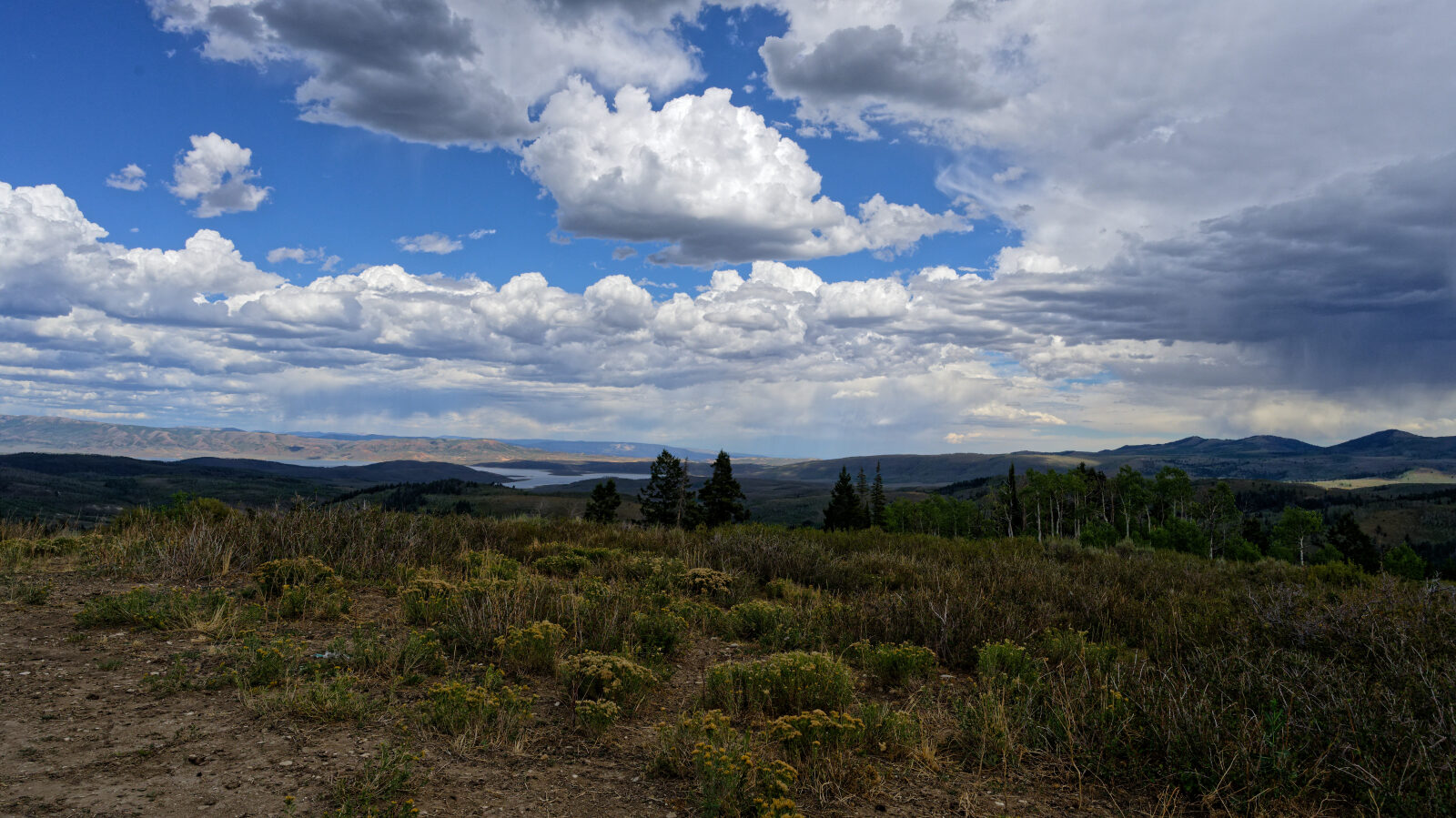
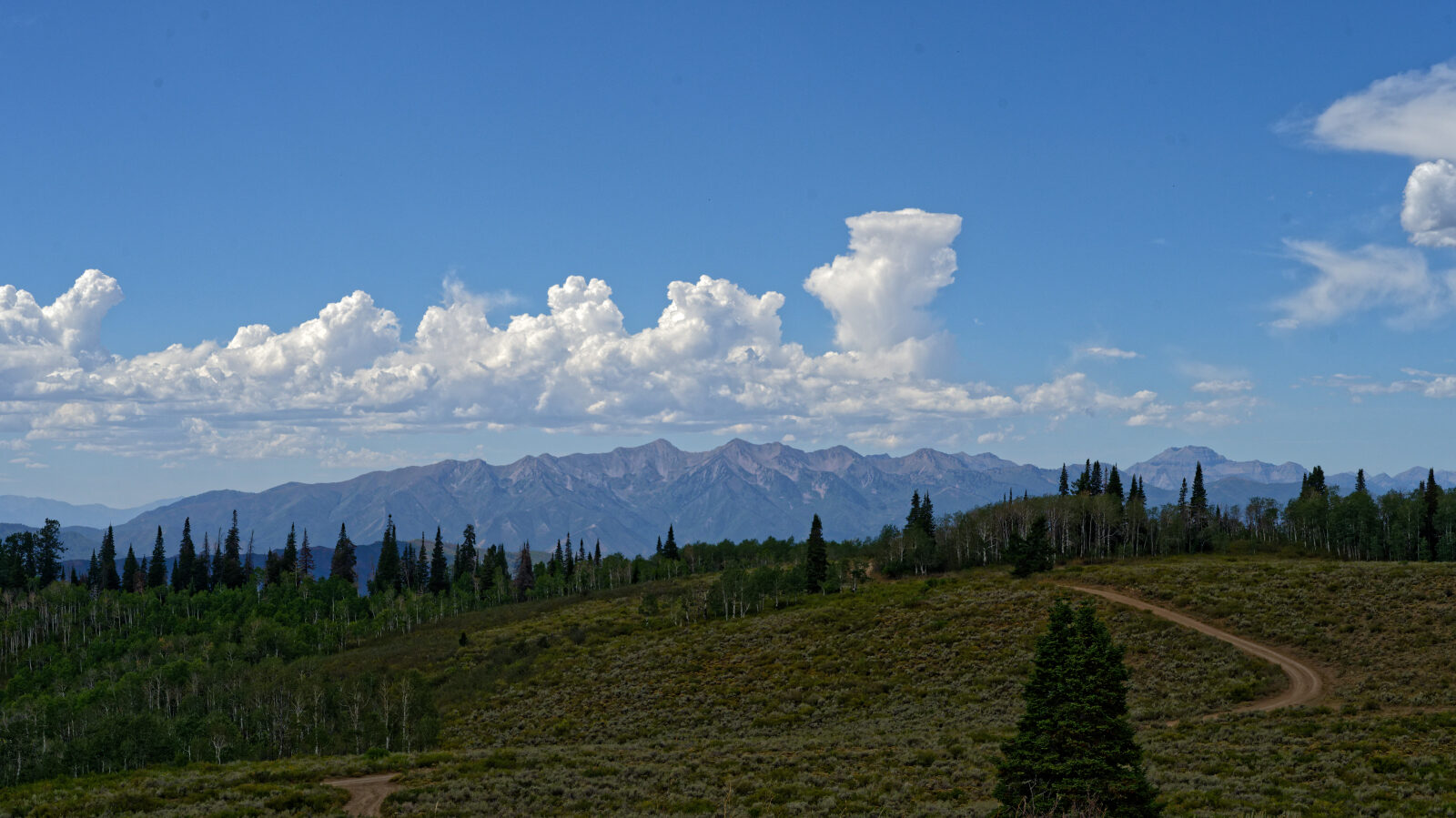
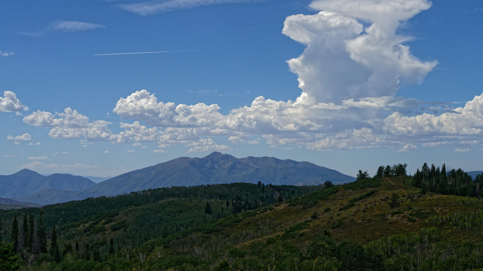
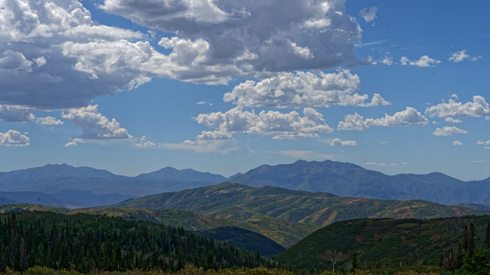
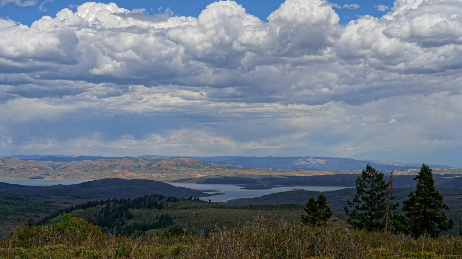
Waypoint 9 (40.06987, -111.23587)
A camping spot with plenty of room for multiple rigs. There are many more along this road.
Waypoint 10 (40.07681, -111.23982)
Road 70518.
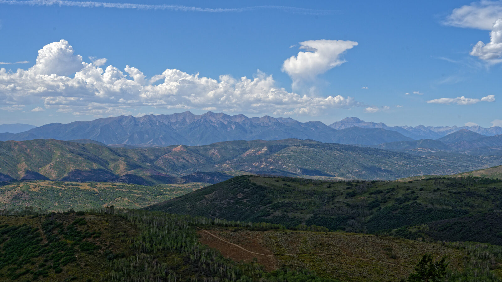
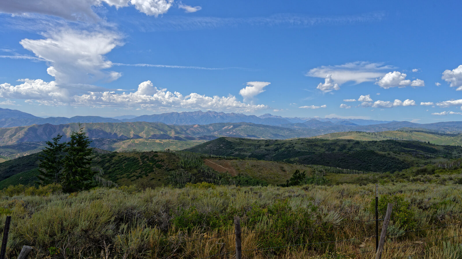
Waypoint 11 (40.08596, -111.24245)
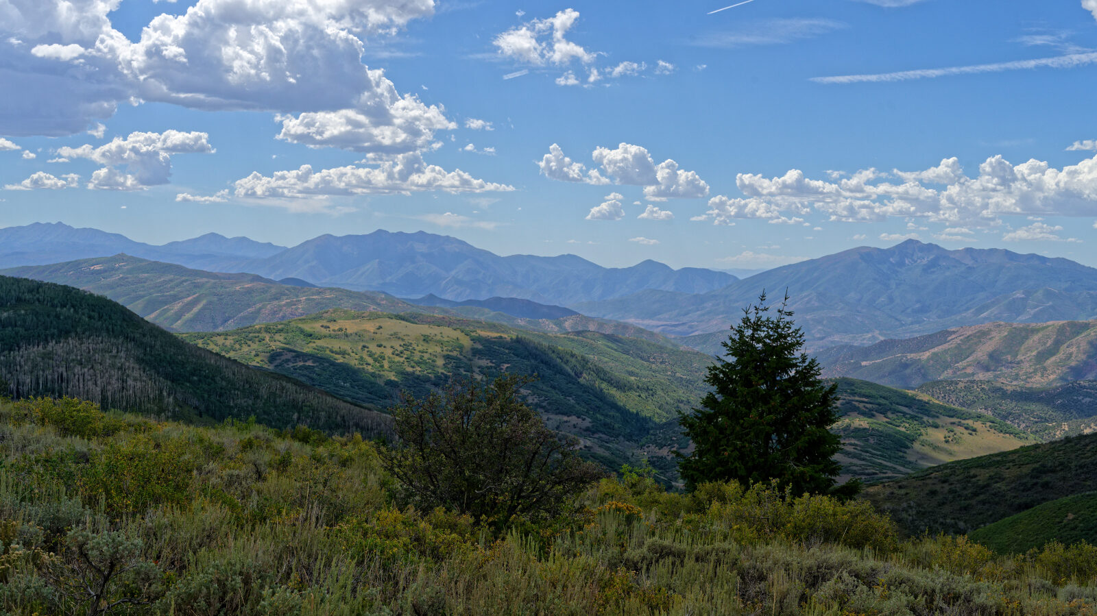
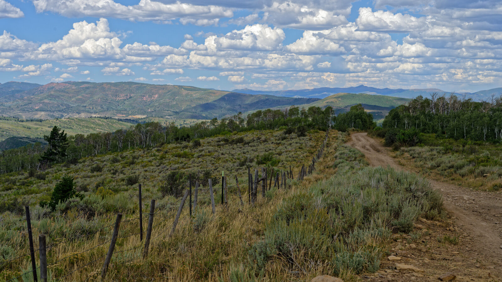
Waypoint 12 (40.08747, -111.24244)
Waypoint 13 (40.11709, -111.22644)
More camping spots along this stretch.
Waypoint 14 (40.12435, -111.22527)
A shelf road section that is wide enough to drive without worry about slipping off.