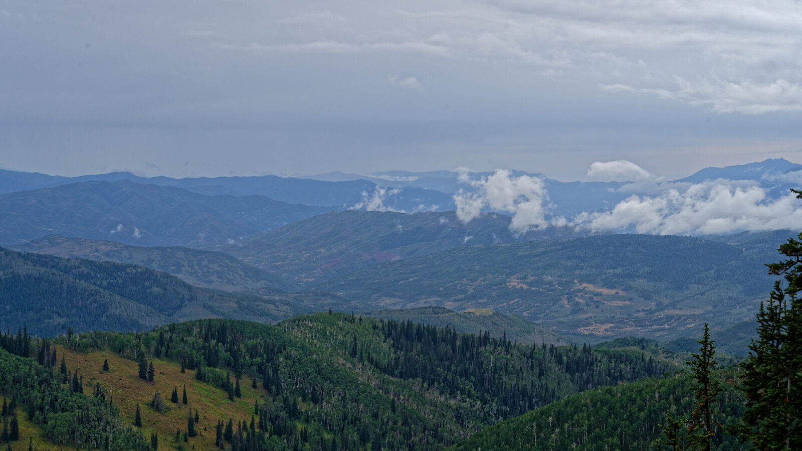
Strawberry Ridge Level - Level 3
Strawberry Ridge is a forest route in the high country of Wasatch County, Utah, on the Uinta-Wasatch-Cache National Forest side of the Strawberry Valley area. It follows the ridge through aspen and conifer stands with open meadows and views over the surrounding drainages.
The route is a quiet backcountry drive that suits a relaxed day out, with places to stop and look around along the way.
Trail Summary
- LocationWasatch County, Utah
- Distance11.2 miles
- DifficultyLevel 3
- Elevation9,067 ft to 9,589 ft with a 522 ft change
- Travel Time1 hour 44 minutes
Difficulty
Best suited for a high clearance 4x4
Level 3 is moderate and is best suited to a high clearance 4x4. Expect a stock vehicle with good ground clearance, 4WD and off-road tires to manage it. The surface can be uneven and rutted, with loose rocks, sandy washes, and possible mud holes. Obstacles such as ledges or short, steep grades should stay under about 12 inches, and water crossings should be less than a foot deep. The road is typically one vehicle wide with places to pass. The driver's log does not call out any specific obstacle on this route, so no particular section needs special attention beyond careful tire placement and watching conditions after rain.
Trail GPS File
Map
The interactive map needs JavaScript. Every waypoint is also listed below.
Waypoints
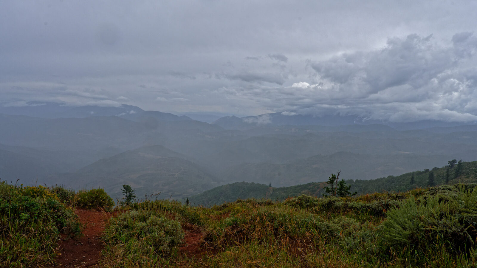
Waypoint 1 (40.21978, -111.27223)
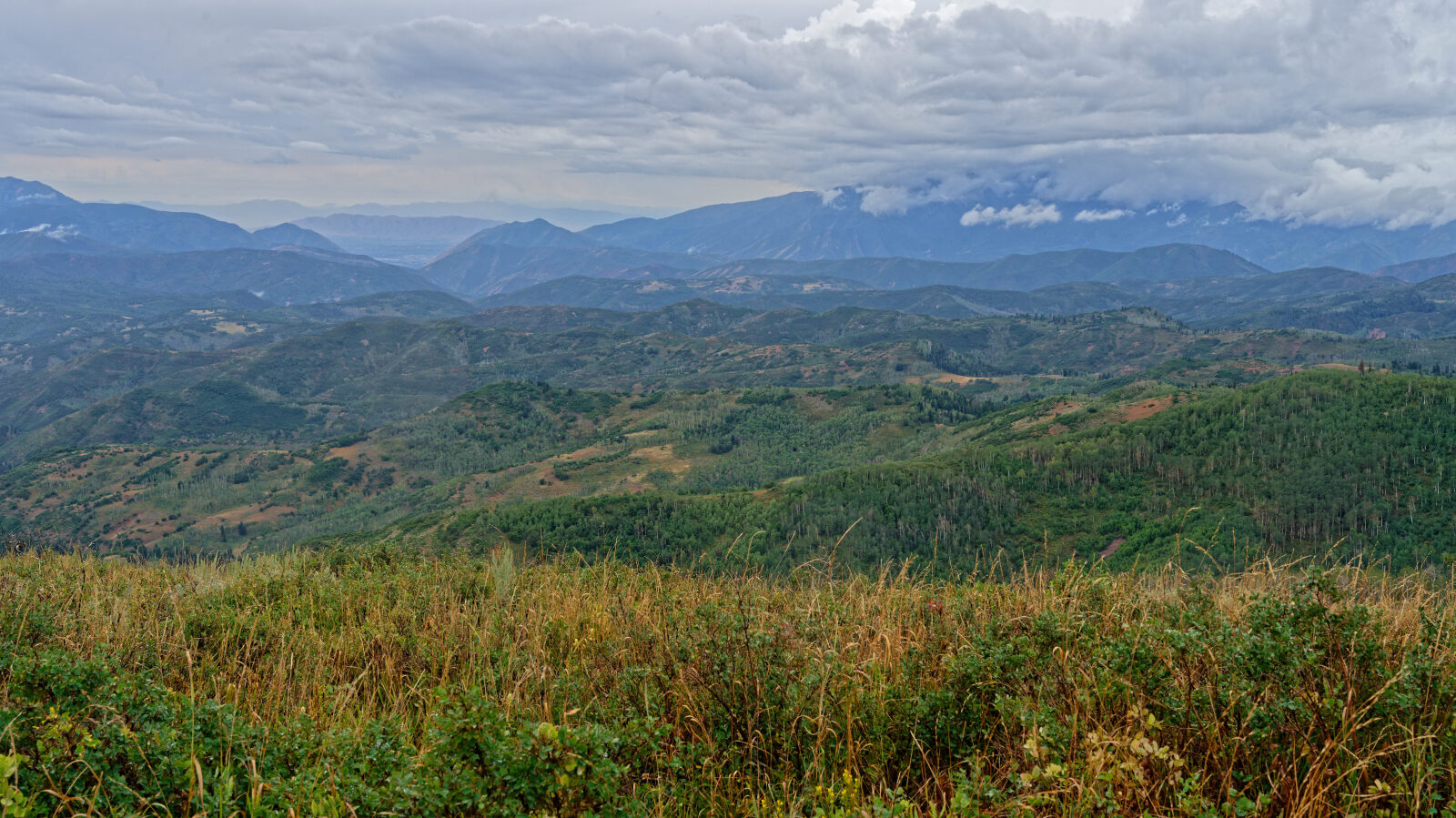
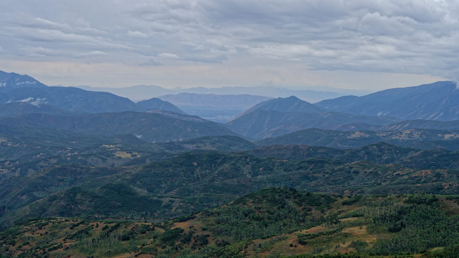
Waypoint 2 (40.22974, -111.27240)