Sugarloaf Mtn - Level 1
This route climbs from the high desert near the Parowan Valley up into Dixie National Forest on the Markagunt Plateau. It starts on Summit Mountain Road and runs through open ranch country, aspen and conifer stands, and a stream crossing before reaching the high country near Cedar Breaks.
Along the way there are a number of dispersed camping spots, a corral area, and a spur to the trailhead for the Twisted Forest bristlecone pine grove.
Trail Summary
- LocationIron County, Utah
- Distance17.4 miles
- DifficultyLevel 1
- Elevation6,017 ft to 9,938 ft with a 3,921 ft change
- Travel Time3 hours 19 minutes
Difficulty
Suitable for high clearance 2WD
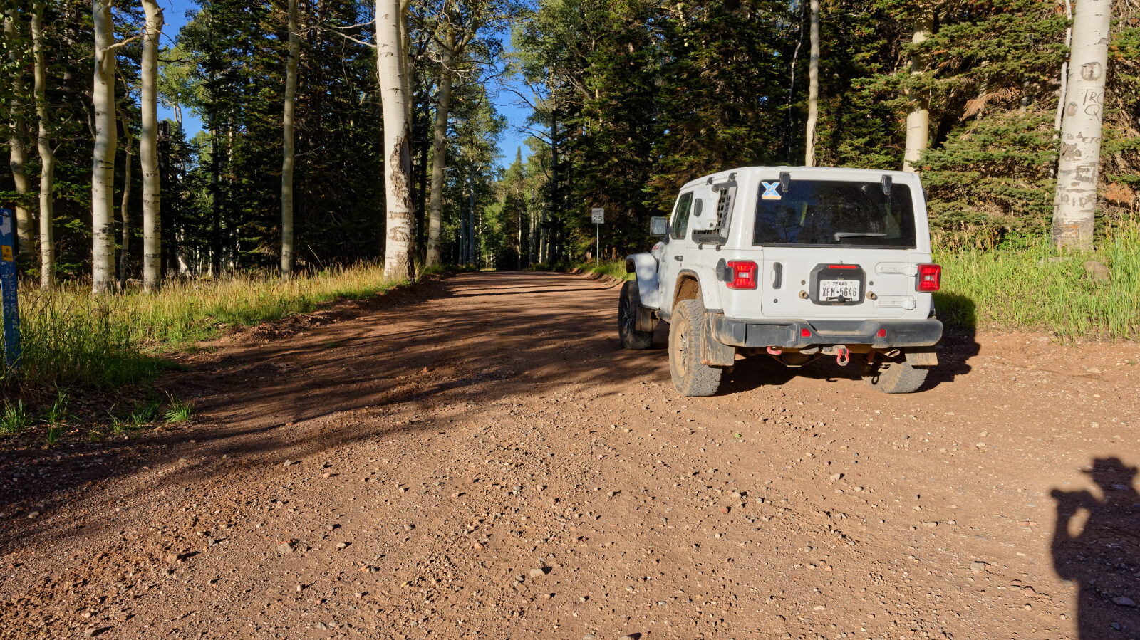
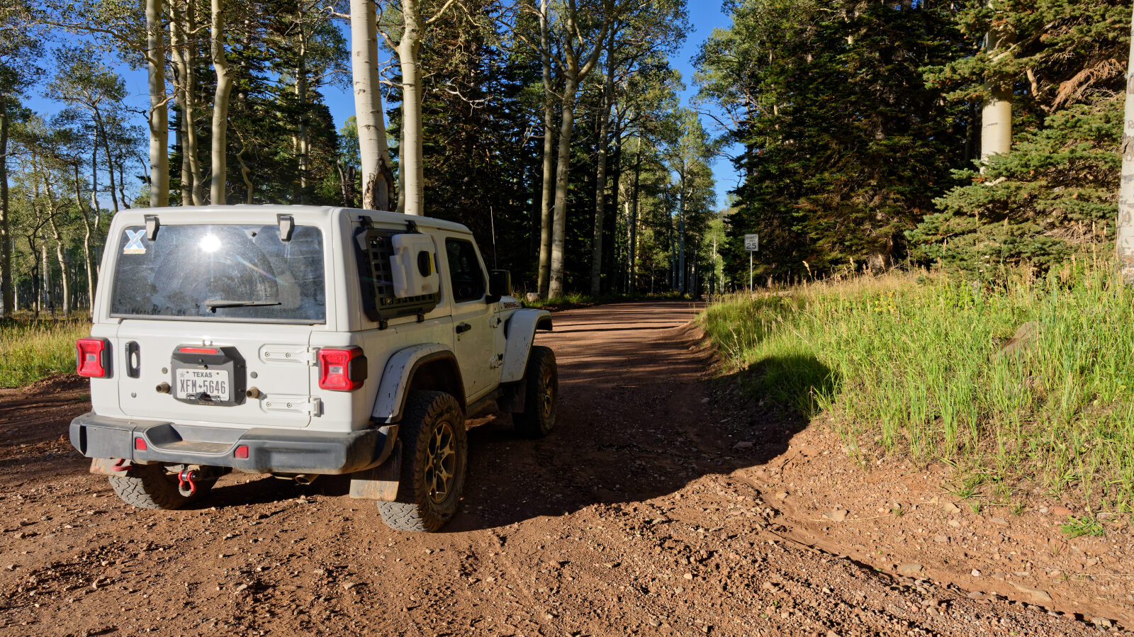
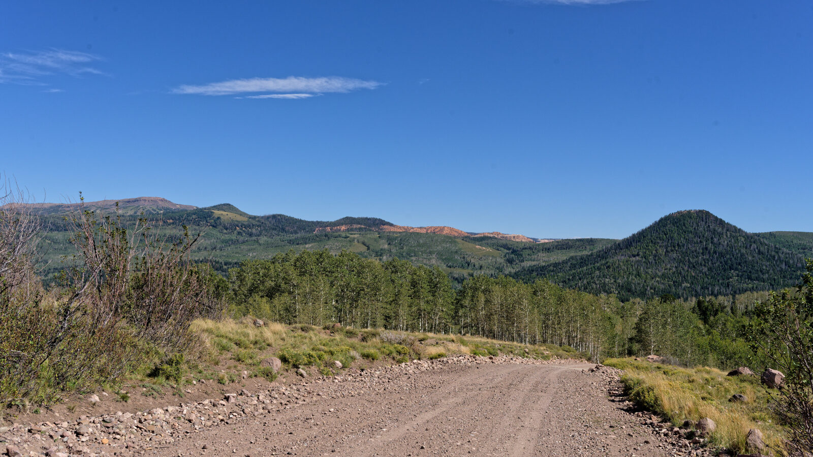
Level 1 is an easy route suitable for high clearance 2WD. Stock equipment is enough, and no special gear is needed. Expect dirt and rocky road with obstacles smaller than 5 inches, such as rocks, dips or ruts, gentle grades and good traction. The road is typically two vehicles wide. The log notes one spot that is a level one hard spot and a level one stream crossing. The spur toward the Twisted Forest trailhead has the hardest section, which the log describes as optional and which is a level 3, a moderate challenge. You can take the spur or stay on the easier road. Everything else on the road is level one.
Terrain
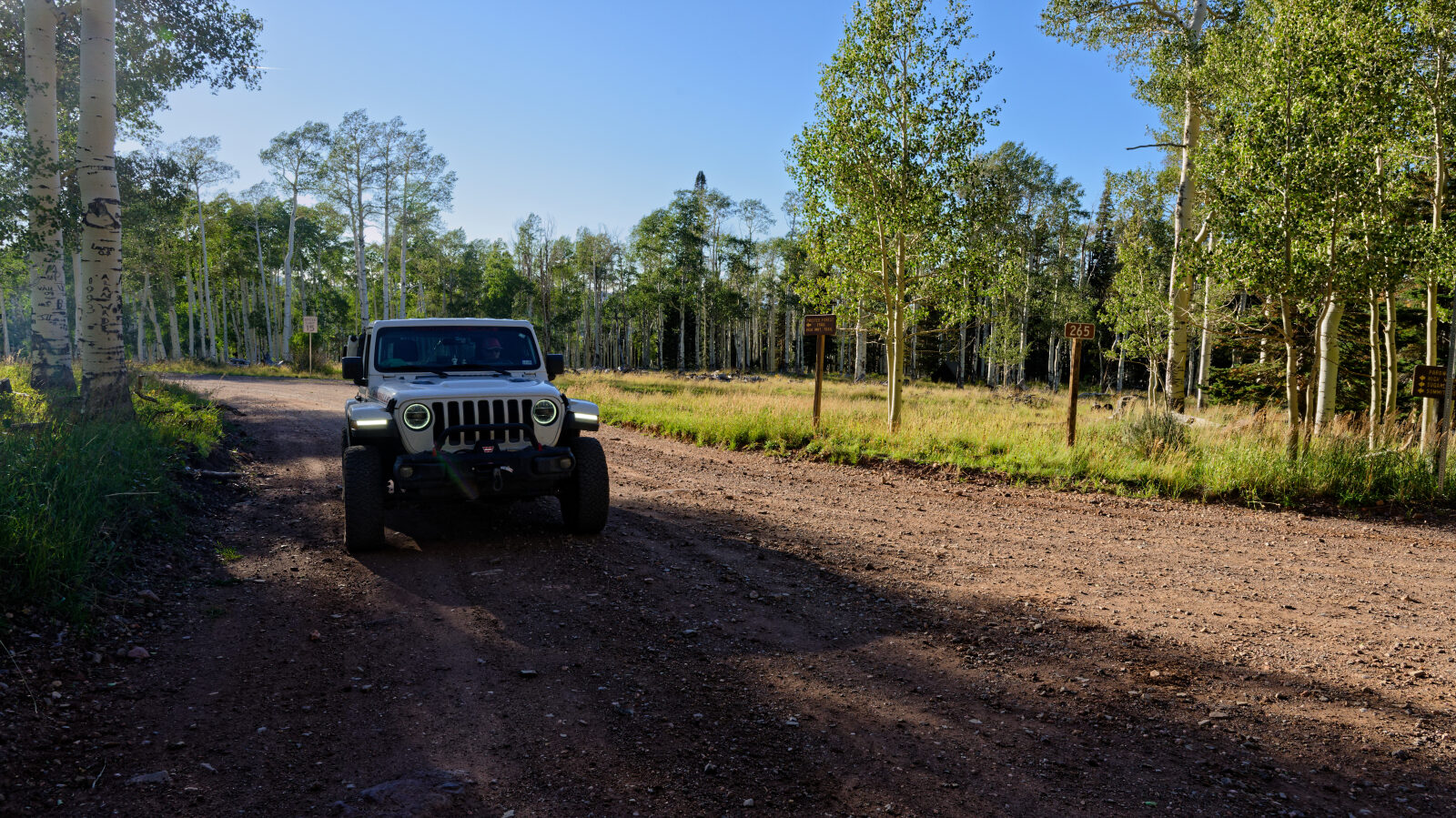
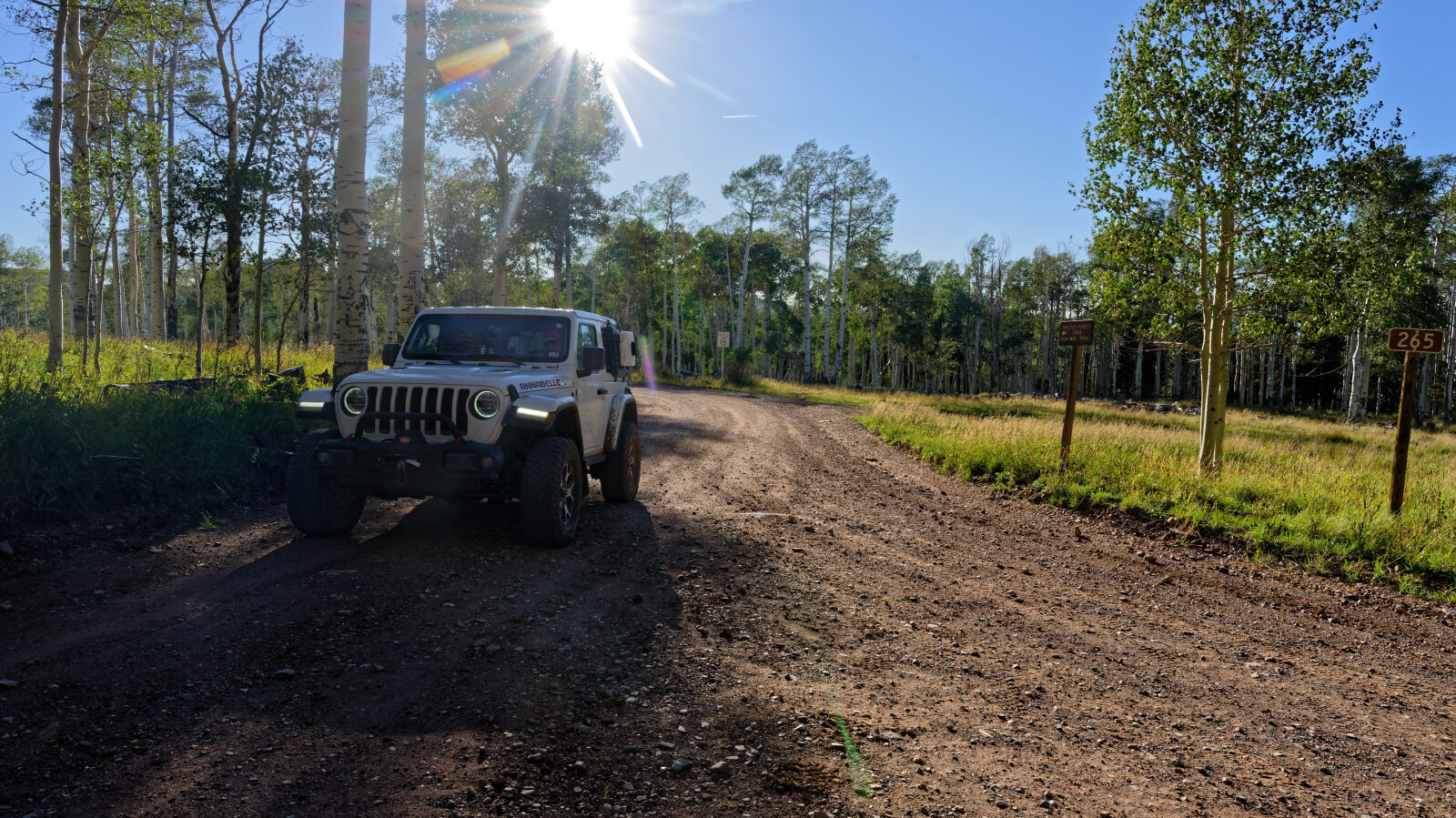
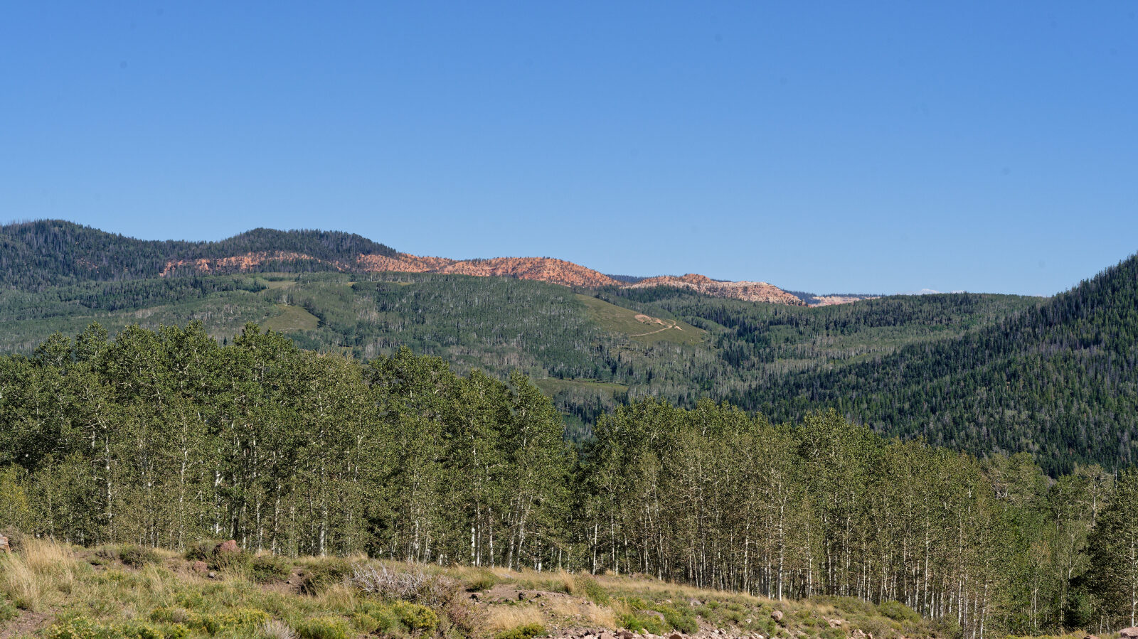
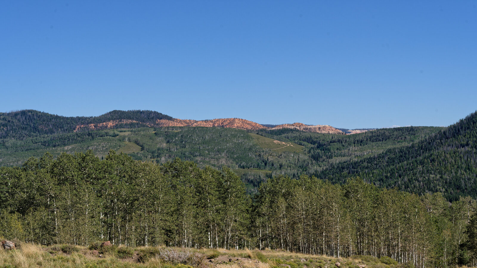
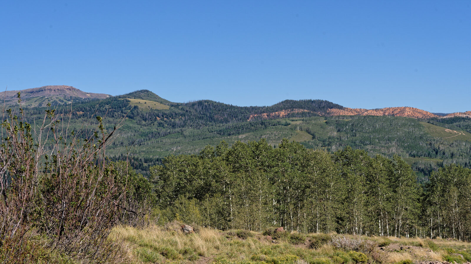
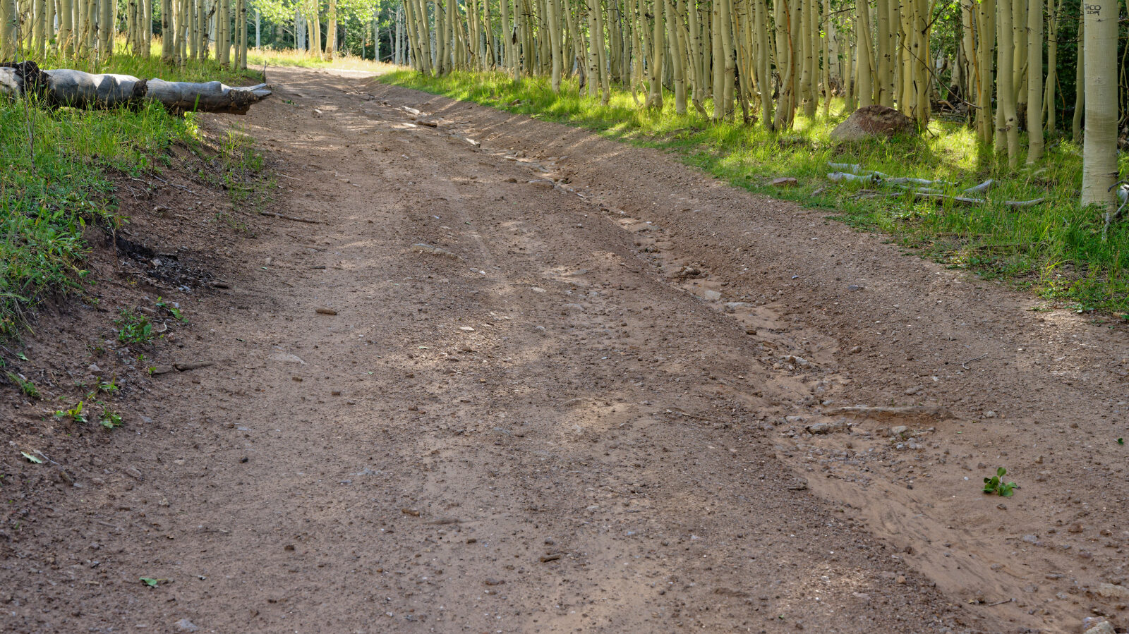
The route begins on dirt road at lower elevation, passes through private land, and then crosses a stream where it enters Dixie National Forest. The road climbs through trees and open meadow and continues on dirt and rocky surface to the high plateau. Campsites along the way are a mix of shaded tree sites and open ground.
Highlights
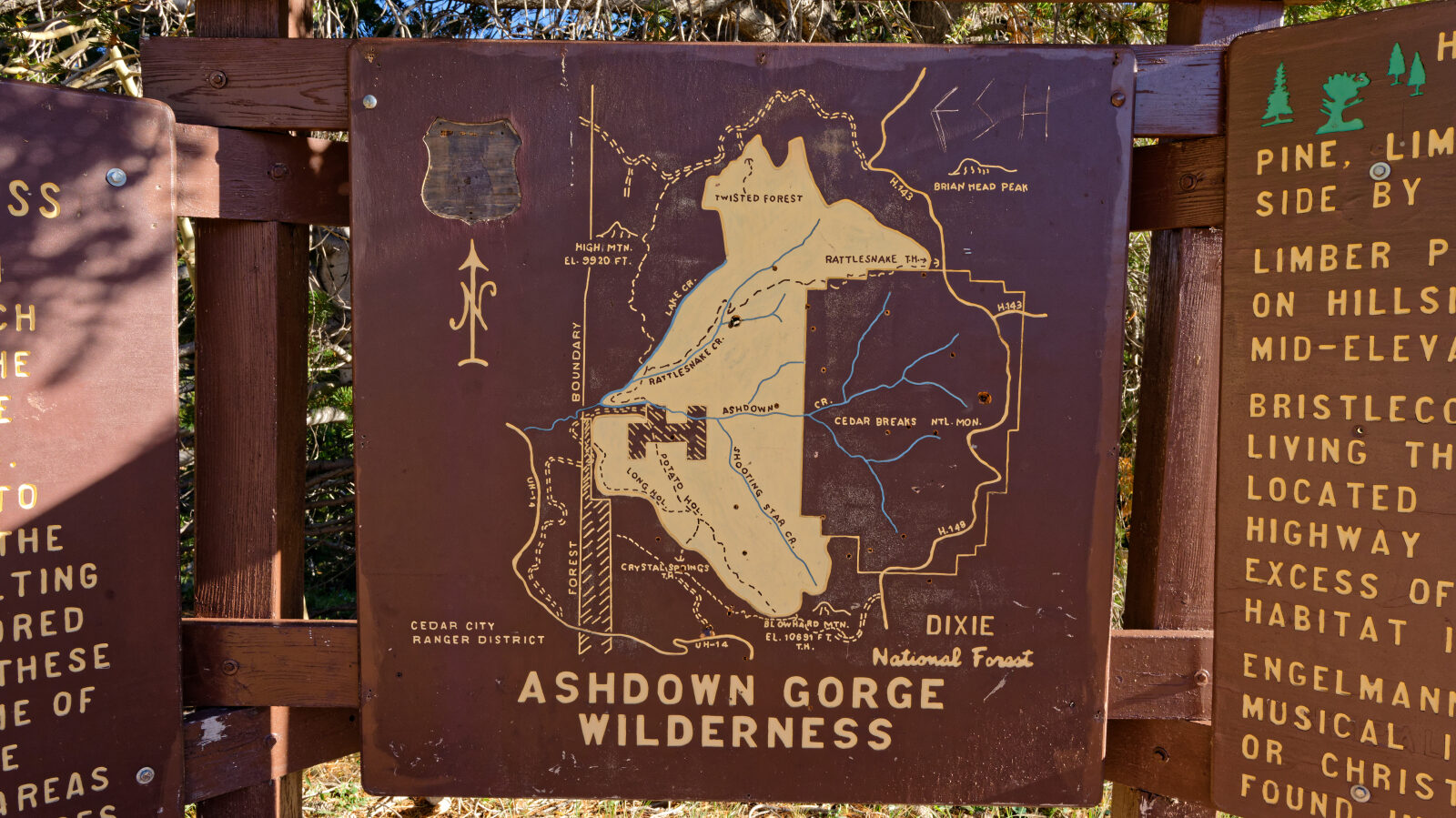
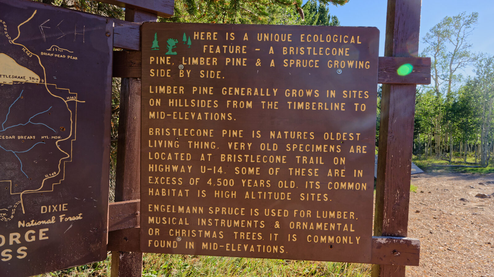
The Twisted Forest hiking trail starts near the end of the route. It is a short out-and-back hike through a bristlecone pine grove in the Ashdown Gorge Wilderness, ending at a cliff overlook above Cedar Breaks National Monument. Bikes and dogs are not allowed on that trail. Camping is plentiful, with spots ranging from one-rig sites by the road to larger tree sites a little off the road.
Map
The interactive map needs JavaScript. Every waypoint is also listed below.
Waypoints
Waypoint 1 (37.80428, -112.92189)
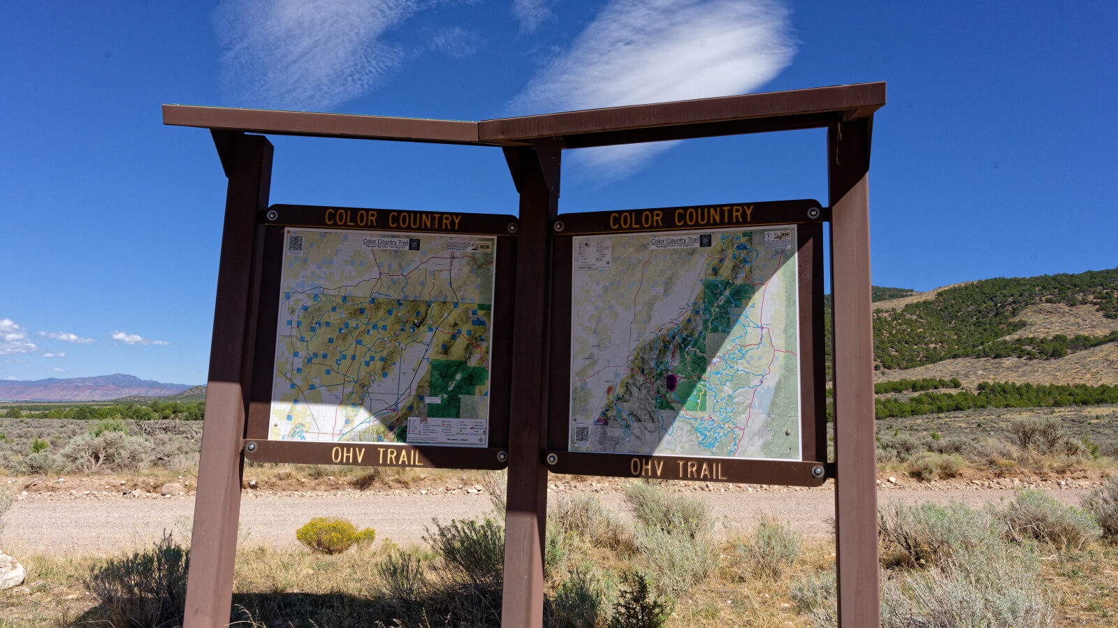
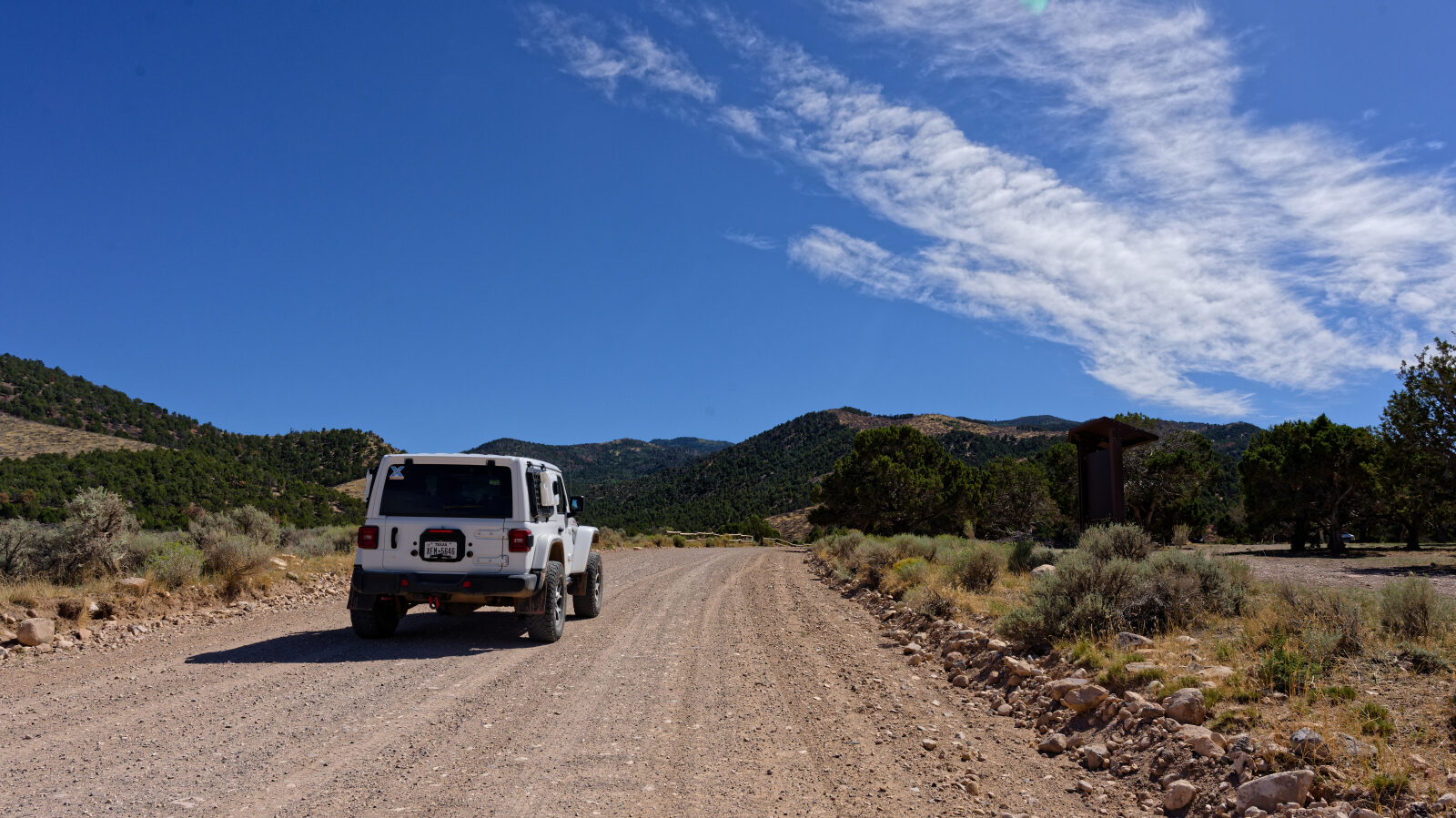
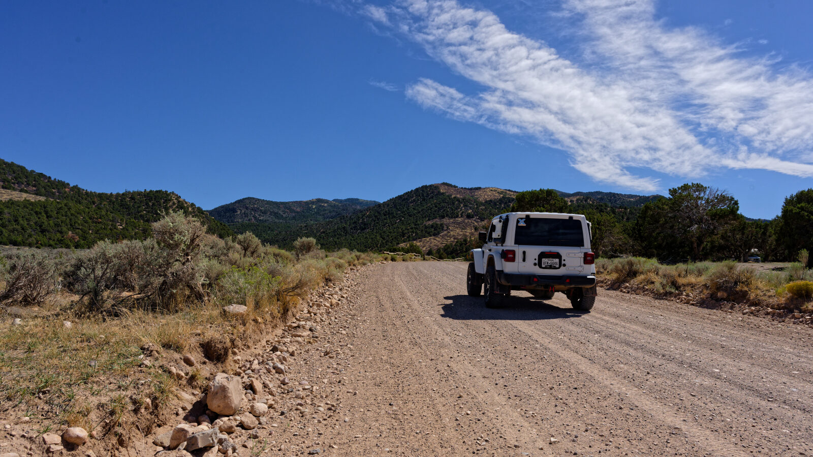
This is the start of Summit Mountain Road.
Waypoint 2 (37.79707, -112.92078)
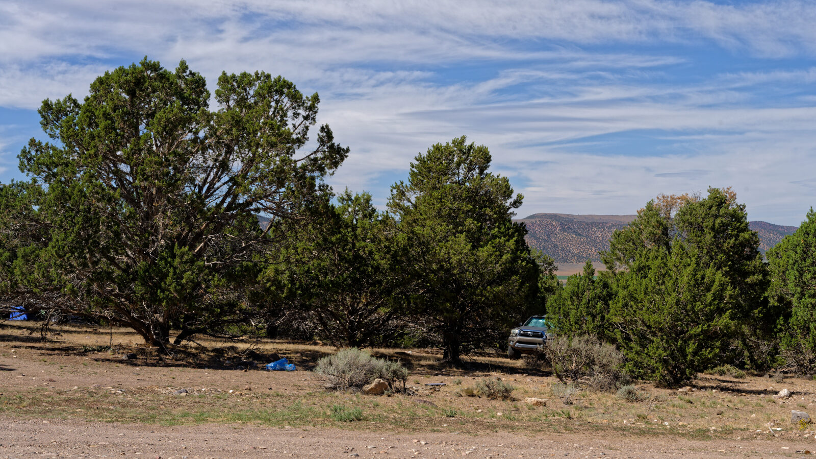
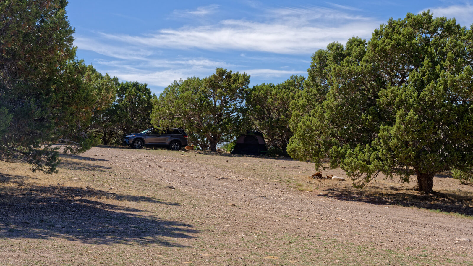
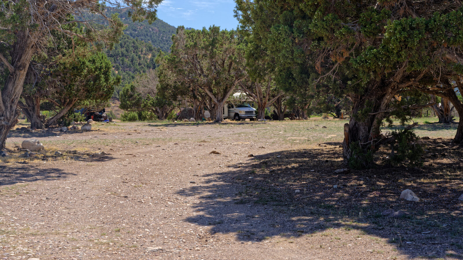
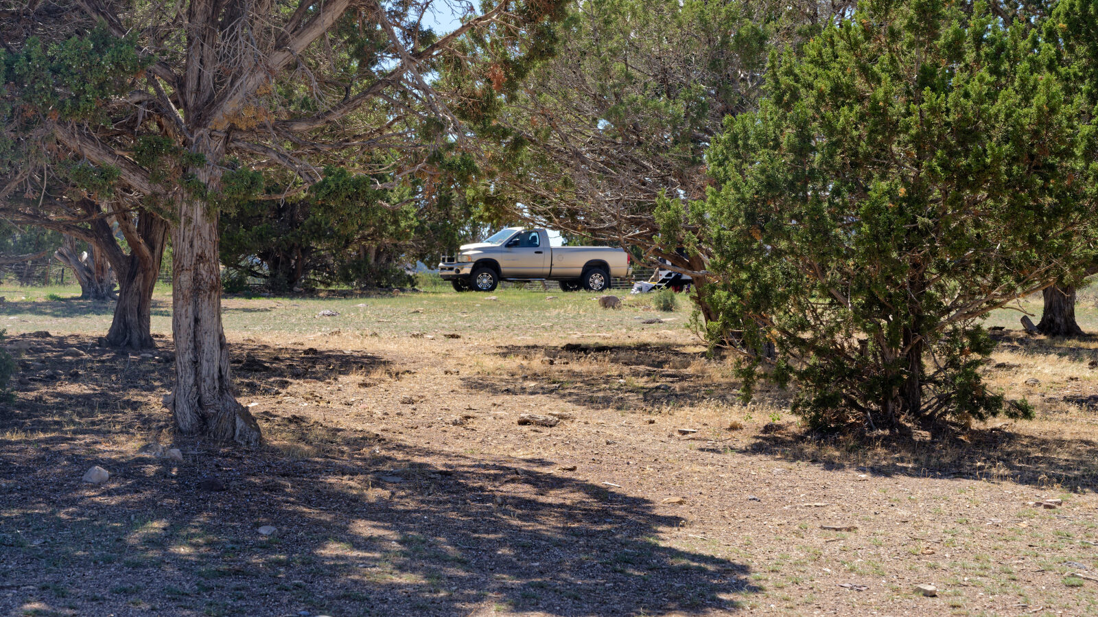
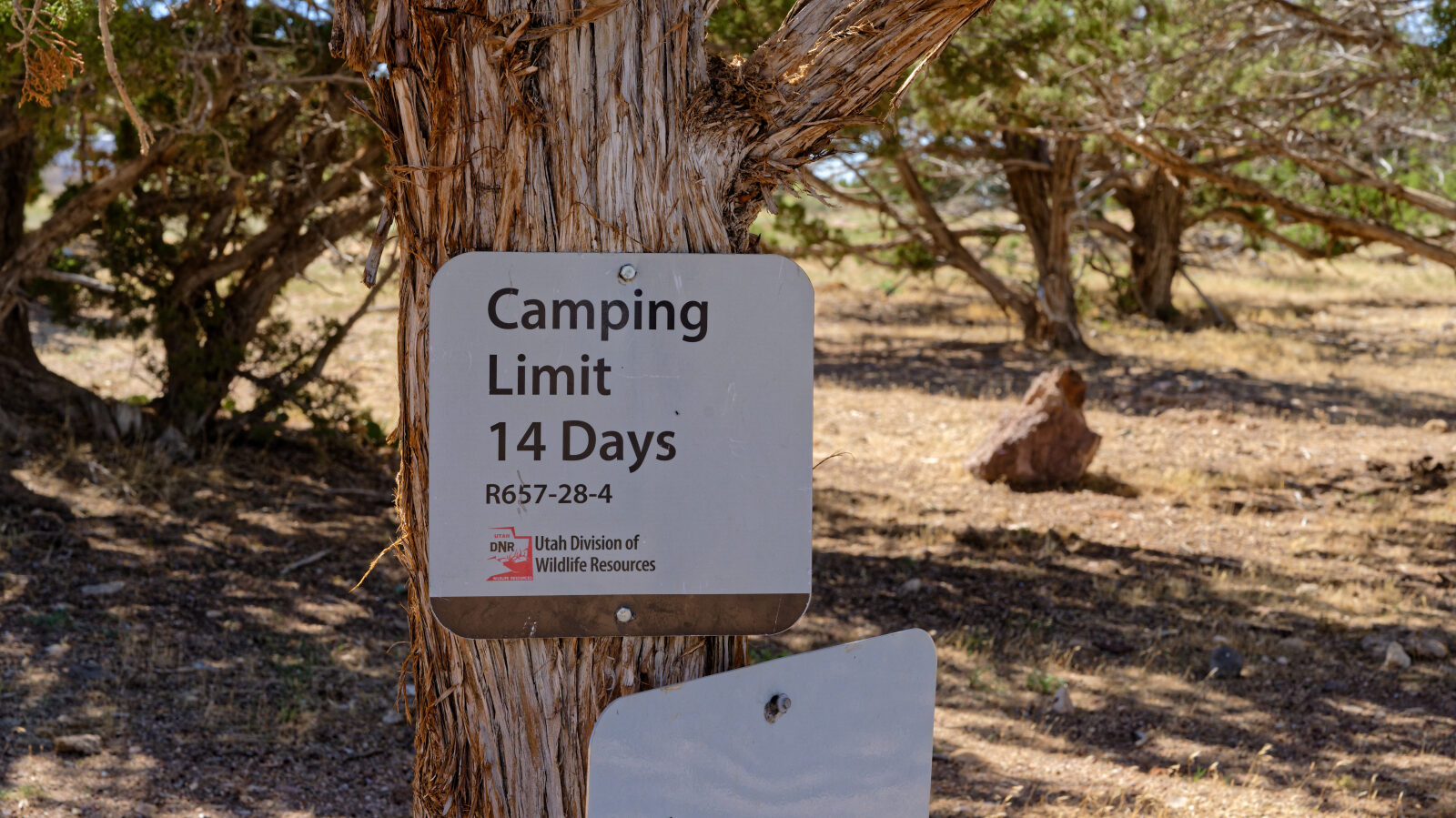
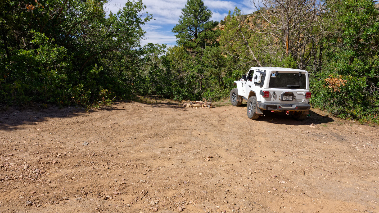
Many camping spots here, all in trees and none private. Short rigs will get shade, longer ones will be in the sun.
Waypoint 3 (37.78596, -112.91563)
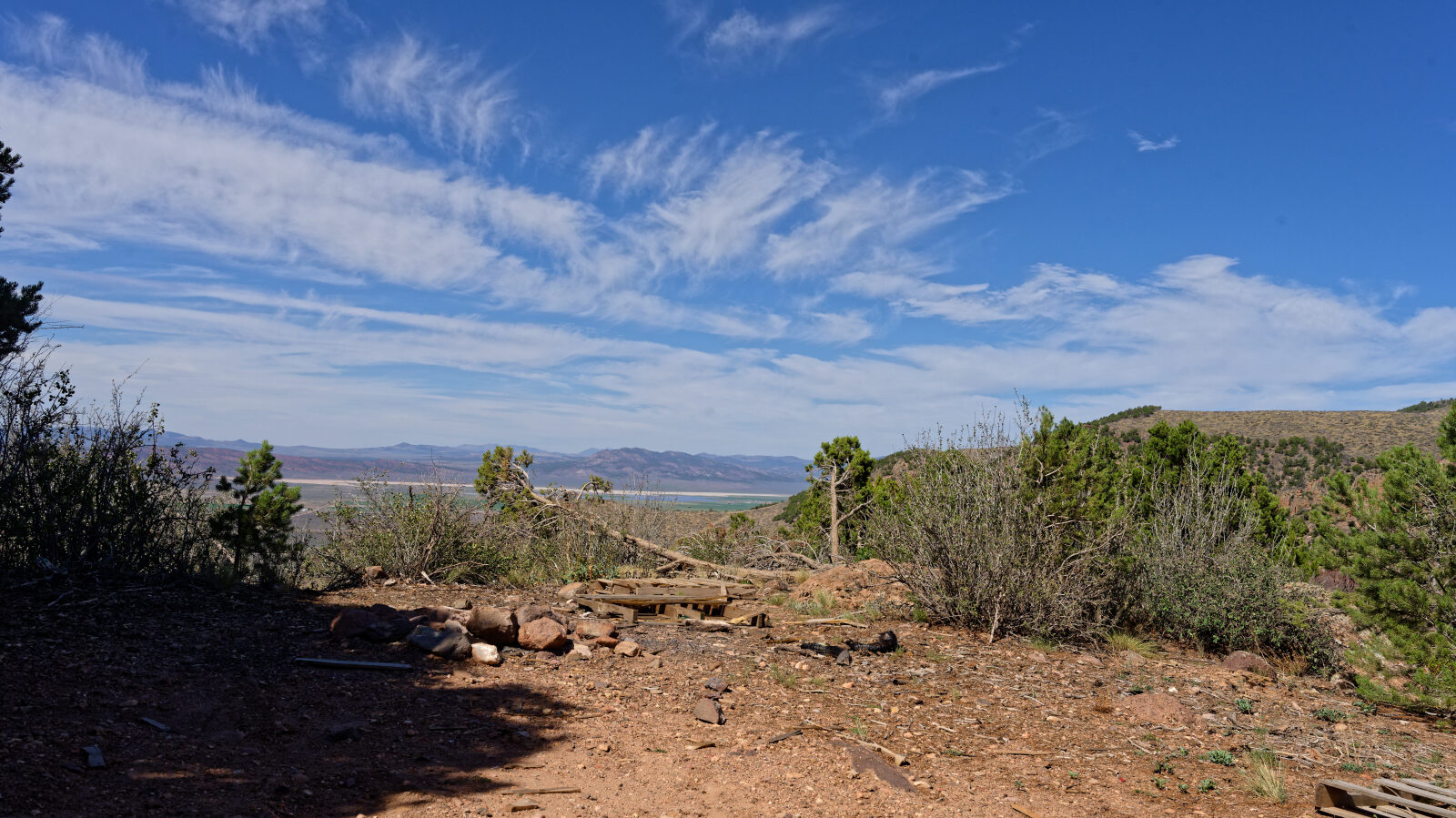
Room for one Jeep and one tent. Not private, and possibly a little shady.
Waypoint 4 (37.77681, -112.91508)
Waypoint 5 (37.77722, -112.91559)
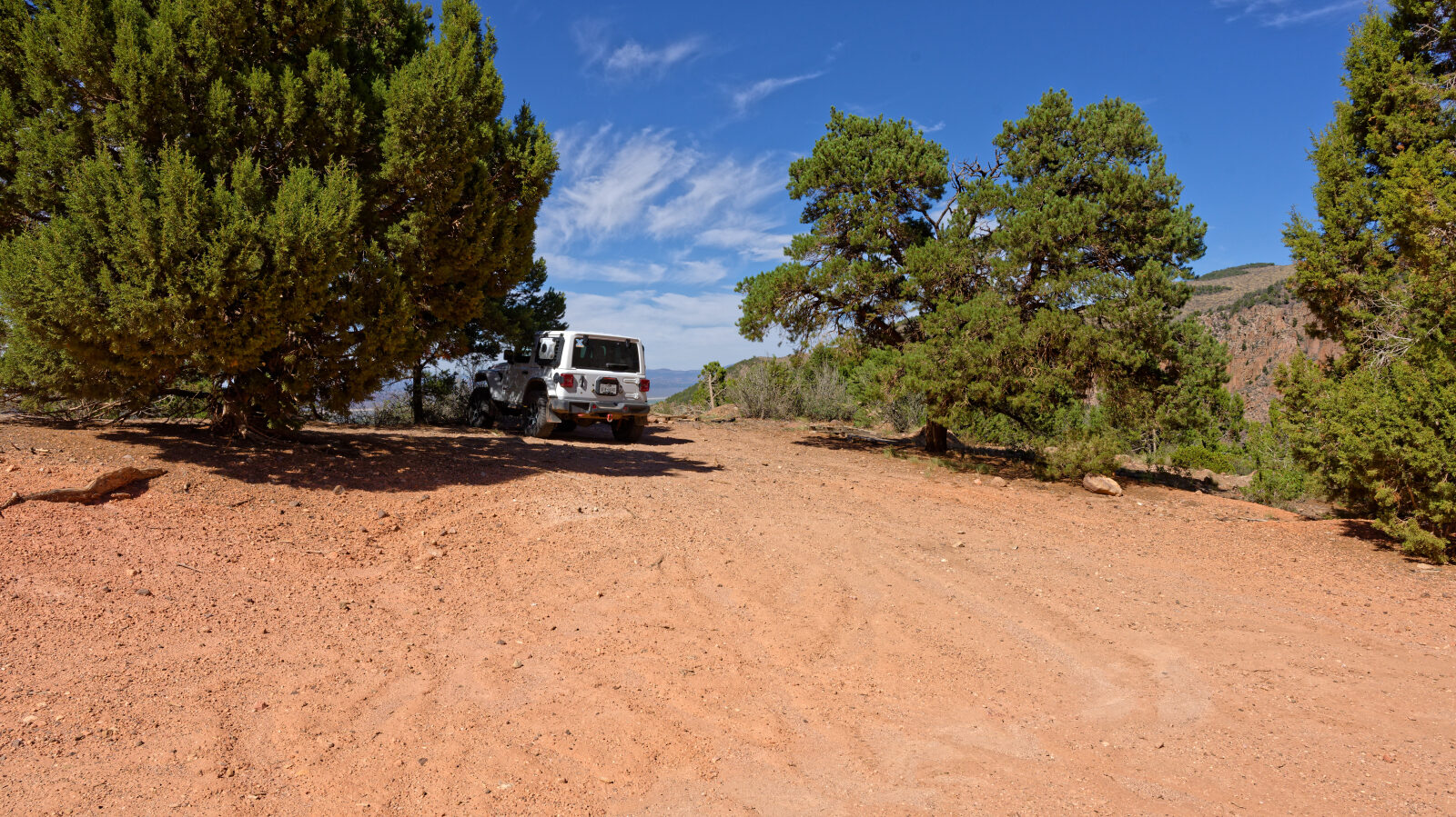
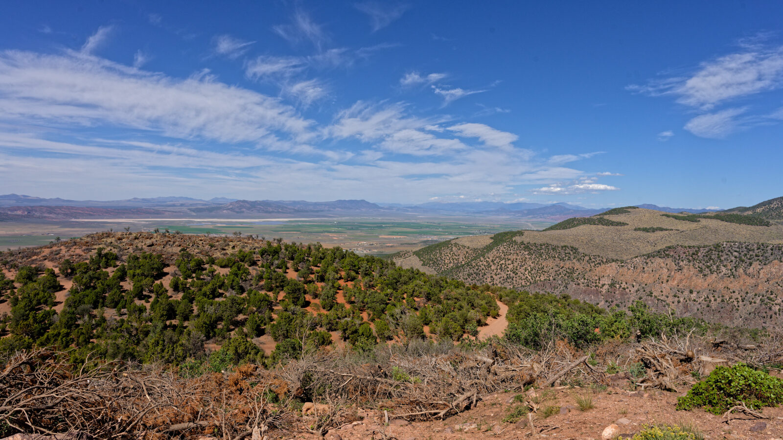
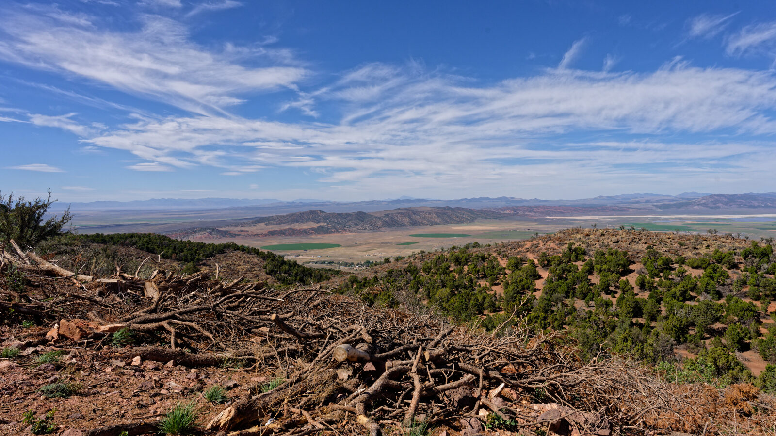
Campsite fits one rig, maybe one trailer. It is close to the road with no privacy, some afternoon shade and a view.
Waypoint 6 (37.77337, -112.92242)
Waypoint 7 (37.76688, -112.92609)
The road passes through private property, so stay on the road.
Waypoint 8 (37.74161, -112.93675)
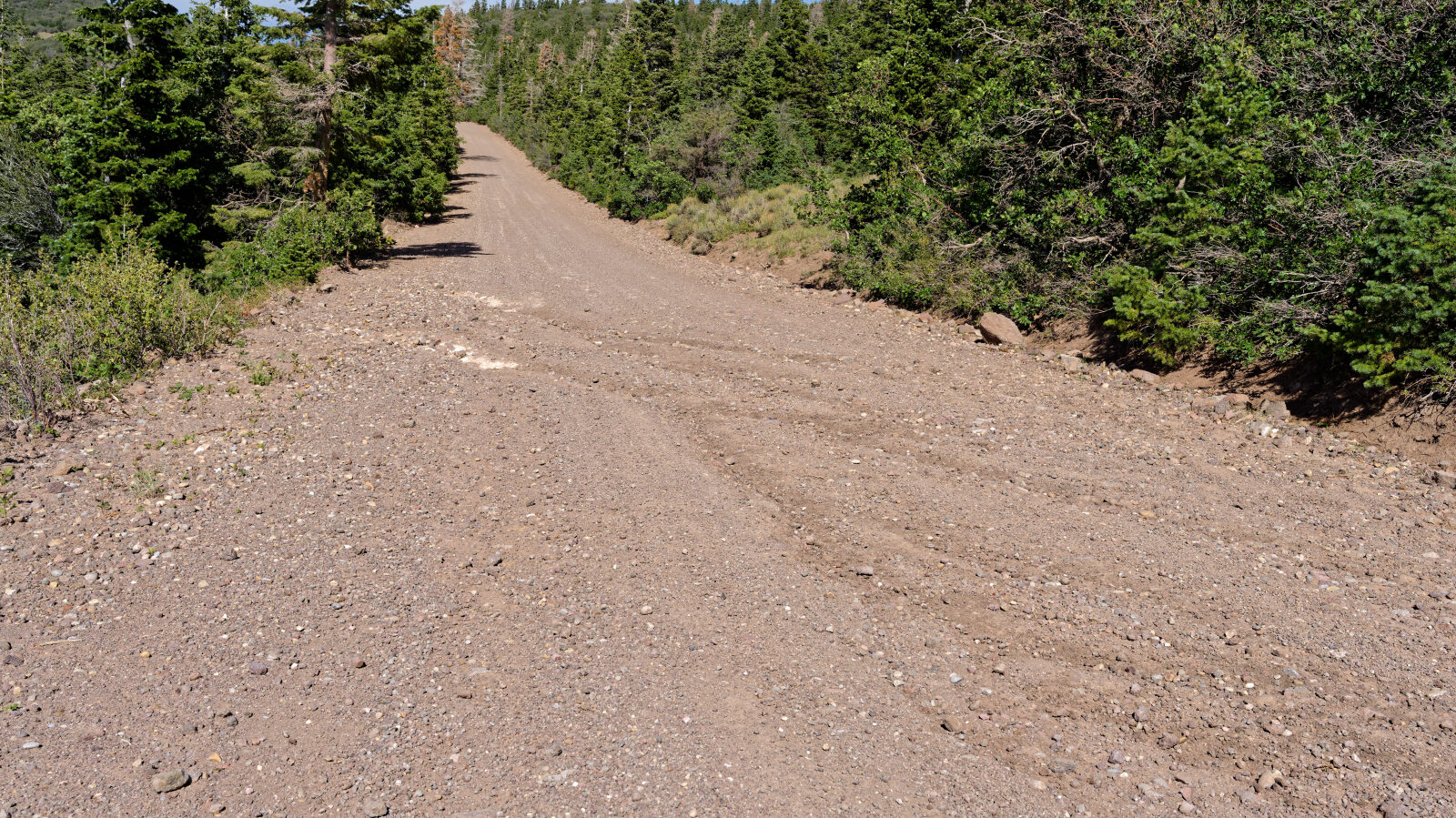
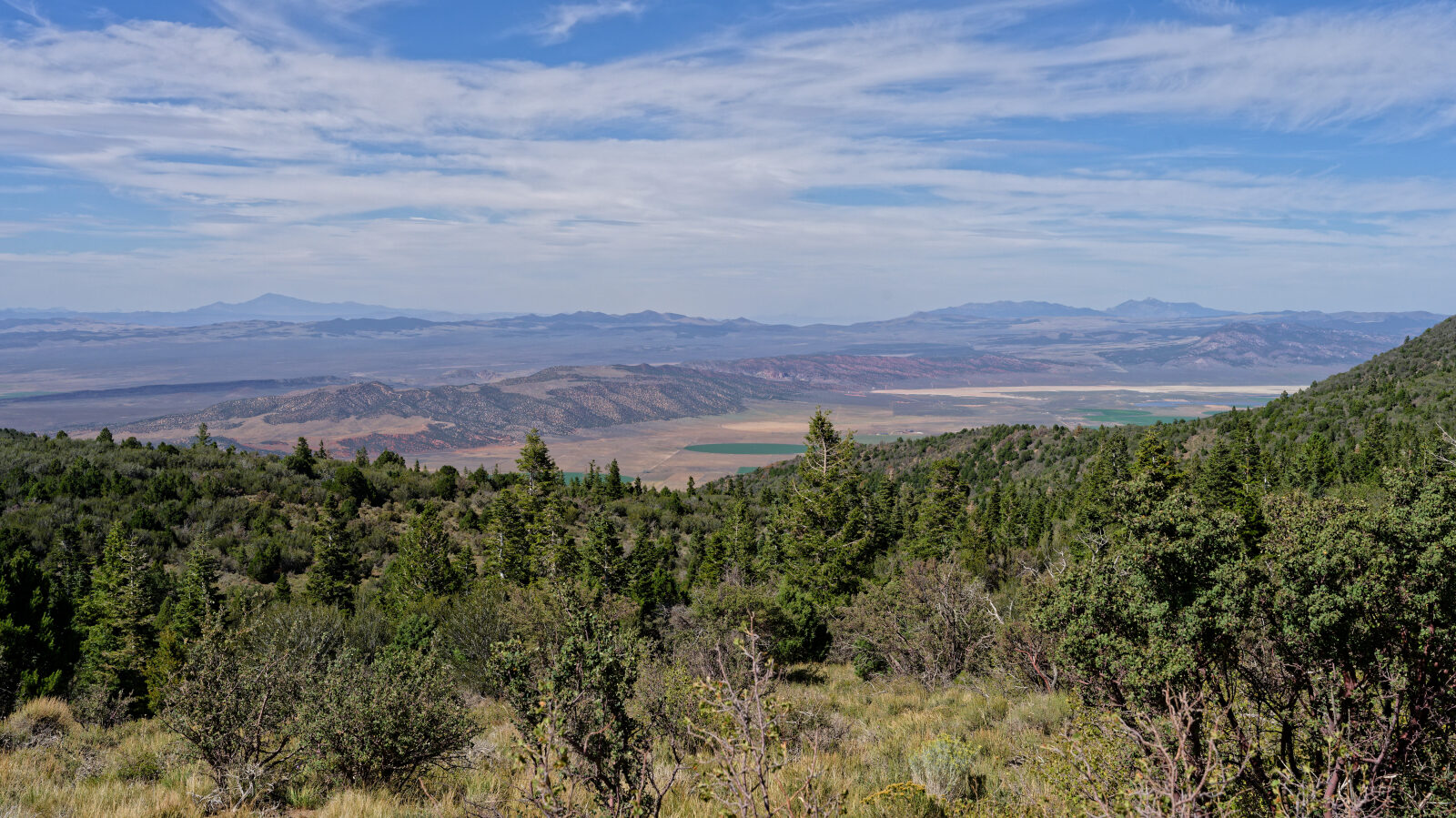
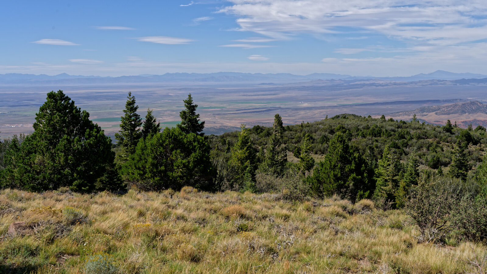
A level one hard spot.
Waypoint 9 (37.71089, -112.93067)
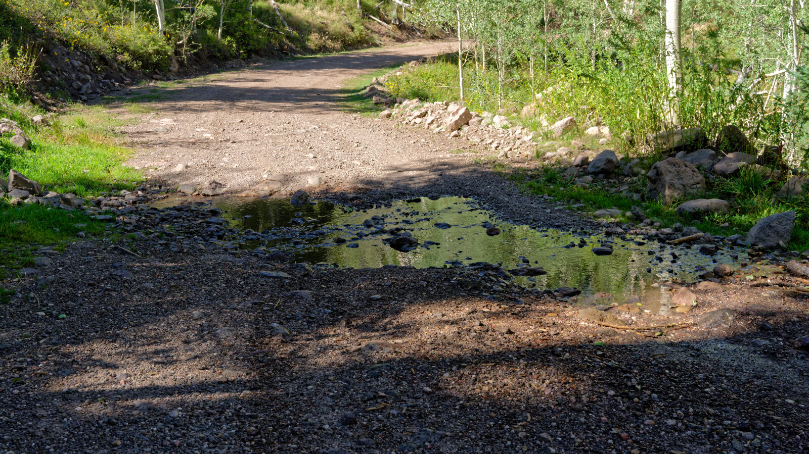
Waypoint 10 (37.69463, -112.92877)
Stream crossing, level one.
Waypoint 11 (37.68281, -112.90934)
Camping for a few rigs in the open, with no privacy or shade. Stay at least 500 ft from the corral.
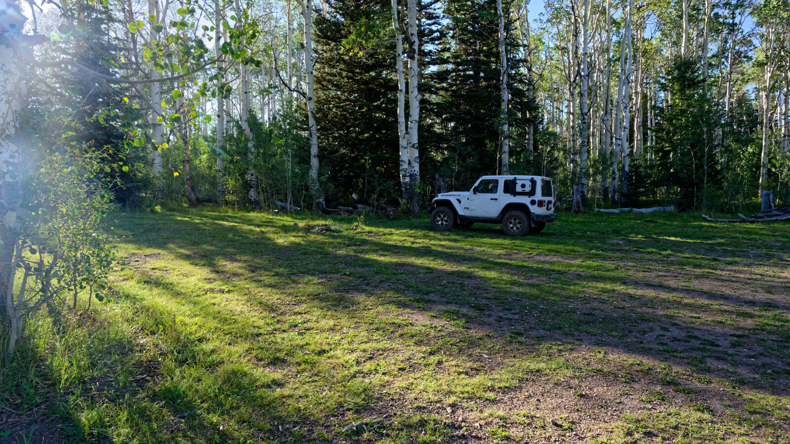
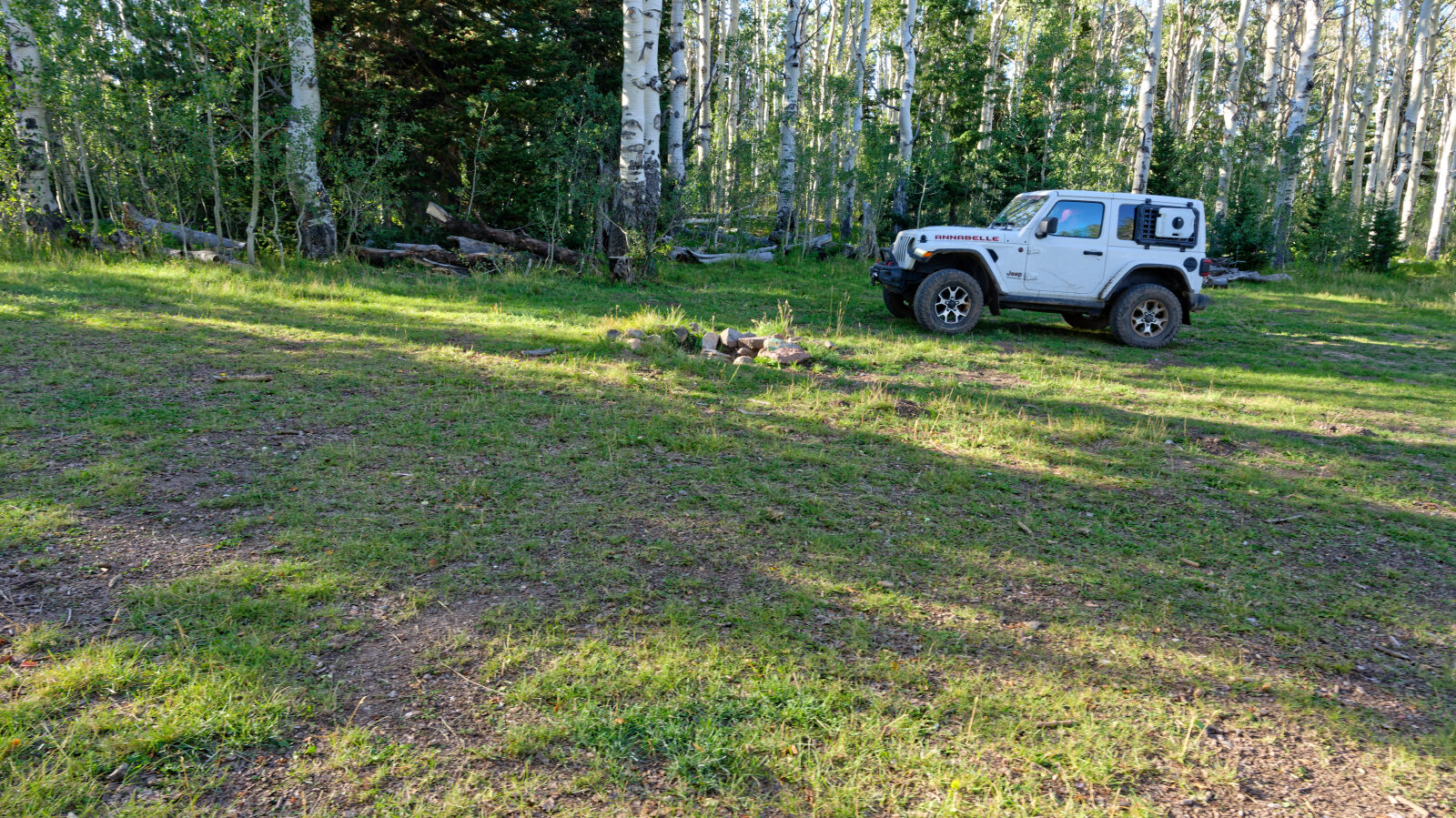
Waypoint 12 (37.68045, -112.90043)
A couple of camping spots set a little off the road in trees, with some privacy and shade. Each holds two or maybe three rigs.
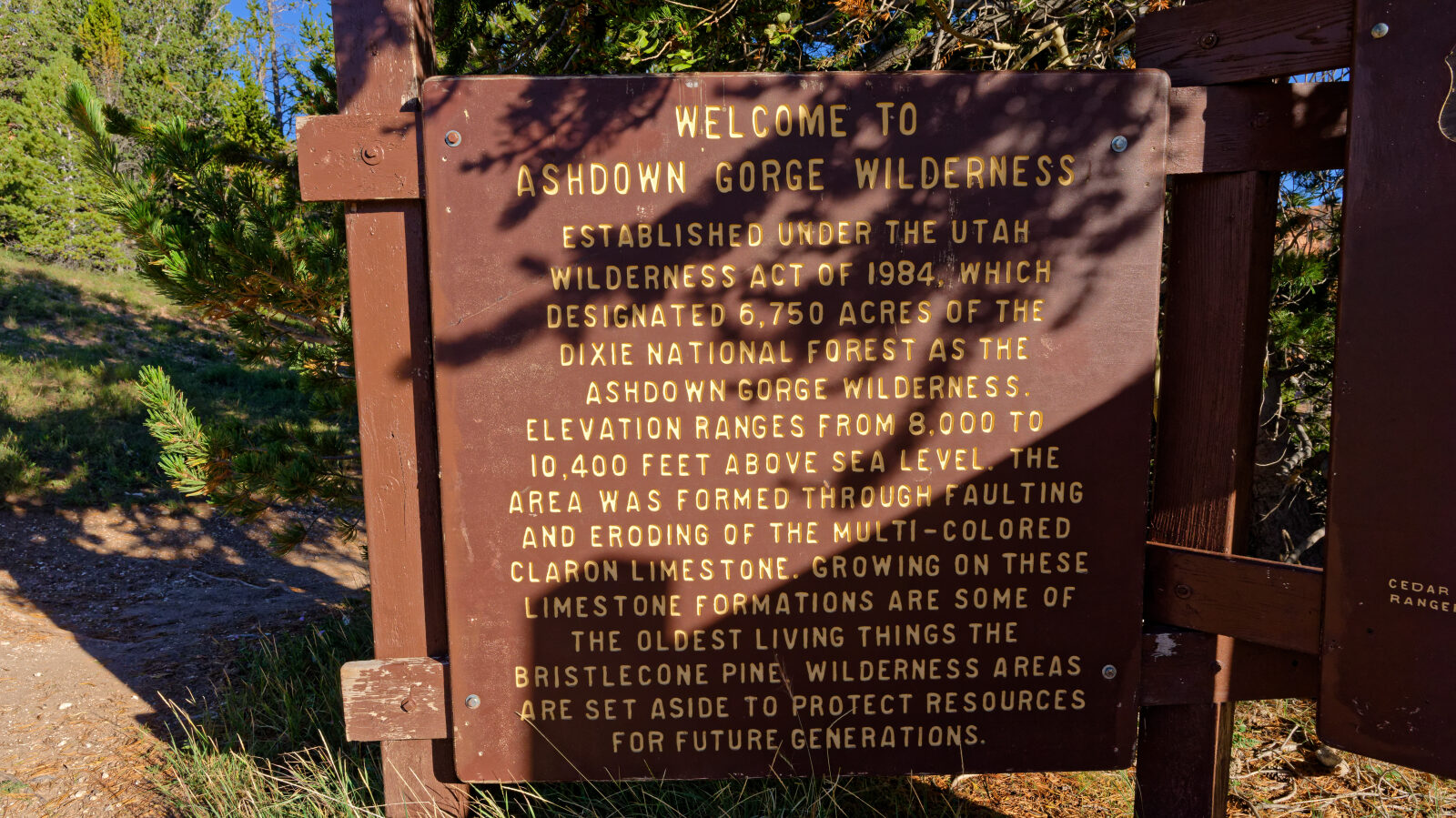
Waypoint 13 (37.68475, -112.88635)
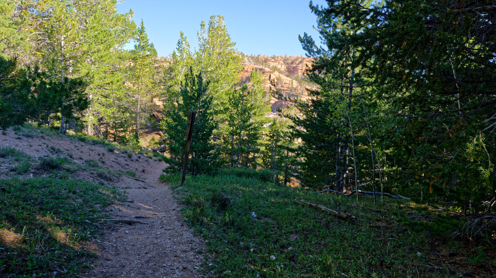
The hiking trail to Twisted Forest starts here.
Waypoint 14 (37.68537, -112.88687)
The hardest part of the way toward Twisted Forest. It is optional, and everything else on this road is level one.
Waypoint 15 (37.68544, -112.88880)