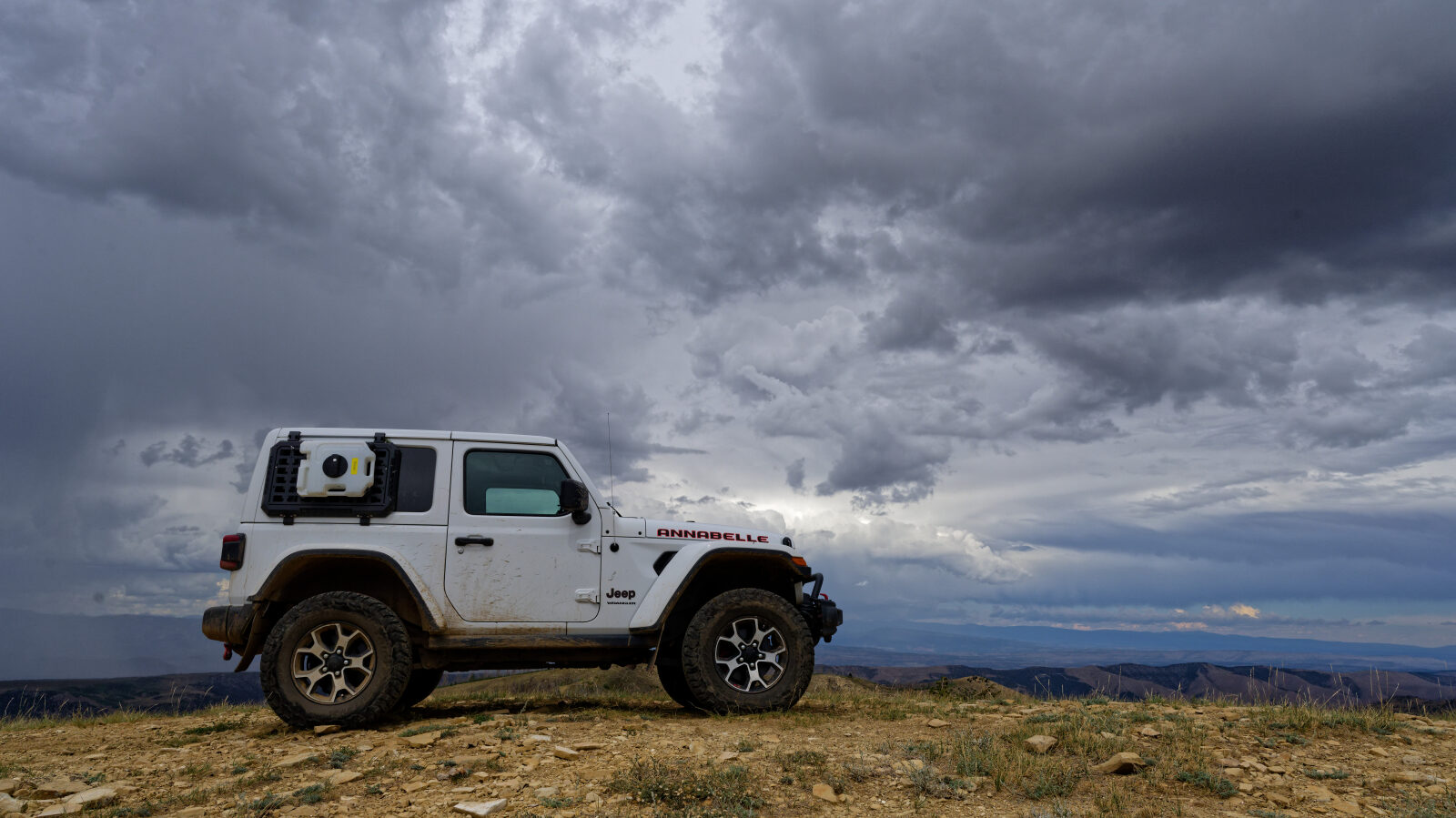
Twelve Hundred Dollar Road - Level 2
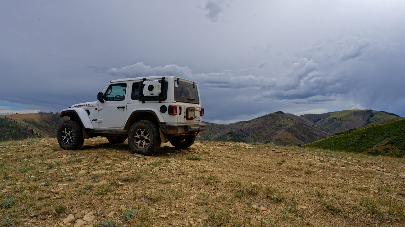
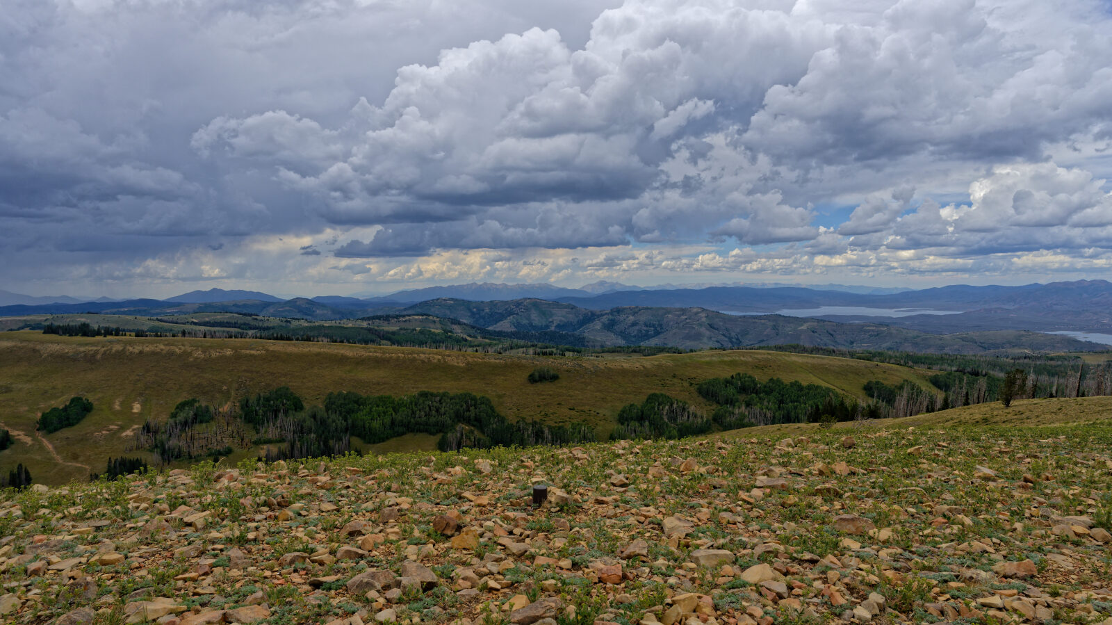
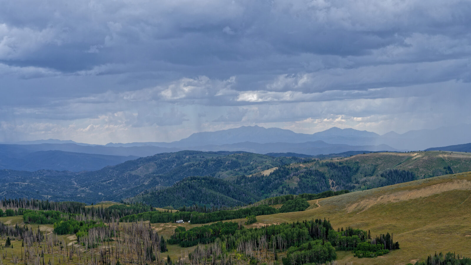
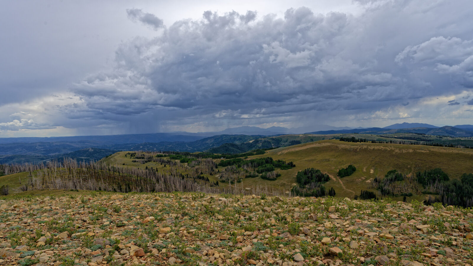
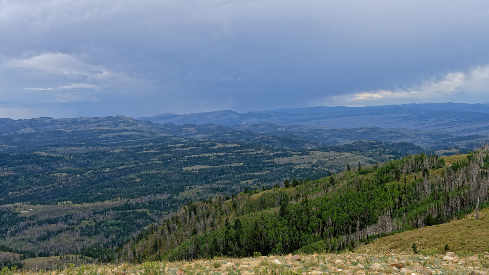
Twelve Hundred Dollar Road climbs a ridge in the Strawberry Reservoir area of Wasatch County, Utah, heading toward Strawberry Peak and its wide views. The route is a back-country dirt road that sees OHV traffic and ends at the top of the ridge.
Along the way there are open camp areas and a gate to pass through. The road is a good option for a short outing at high elevation in the Wasatch Range foothills.
Trail Summary
- LocationWasatch County, Utah
- Distance5.5 miles
- DifficultyLevel 2
- Elevation9,433 ft to 10,308 ft with a 875 ft change
- Travel Time53 minutes
Difficulty
Typically suitable for high clearance 2WD
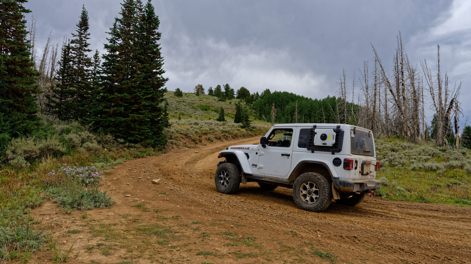
Level 2 is typically suitable for a high clearance 2WD vehicle. Stock equipment is enough, though the terrain can test tire traction and ground clearance. Expect dirt and rocky surface, with possible rocks, dips or ruts under 9 inches, and small ledges or shallow water under 12 inches. The road is usually unmaintained after rain or snow and is one to two vehicles wide. The driver found the road easy overall and manageable for a high-clearance vehicle. One spot near the start of the climb was harder than the rest, and the driver rated it a level two.
Highlights
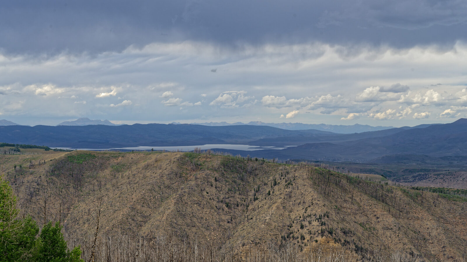
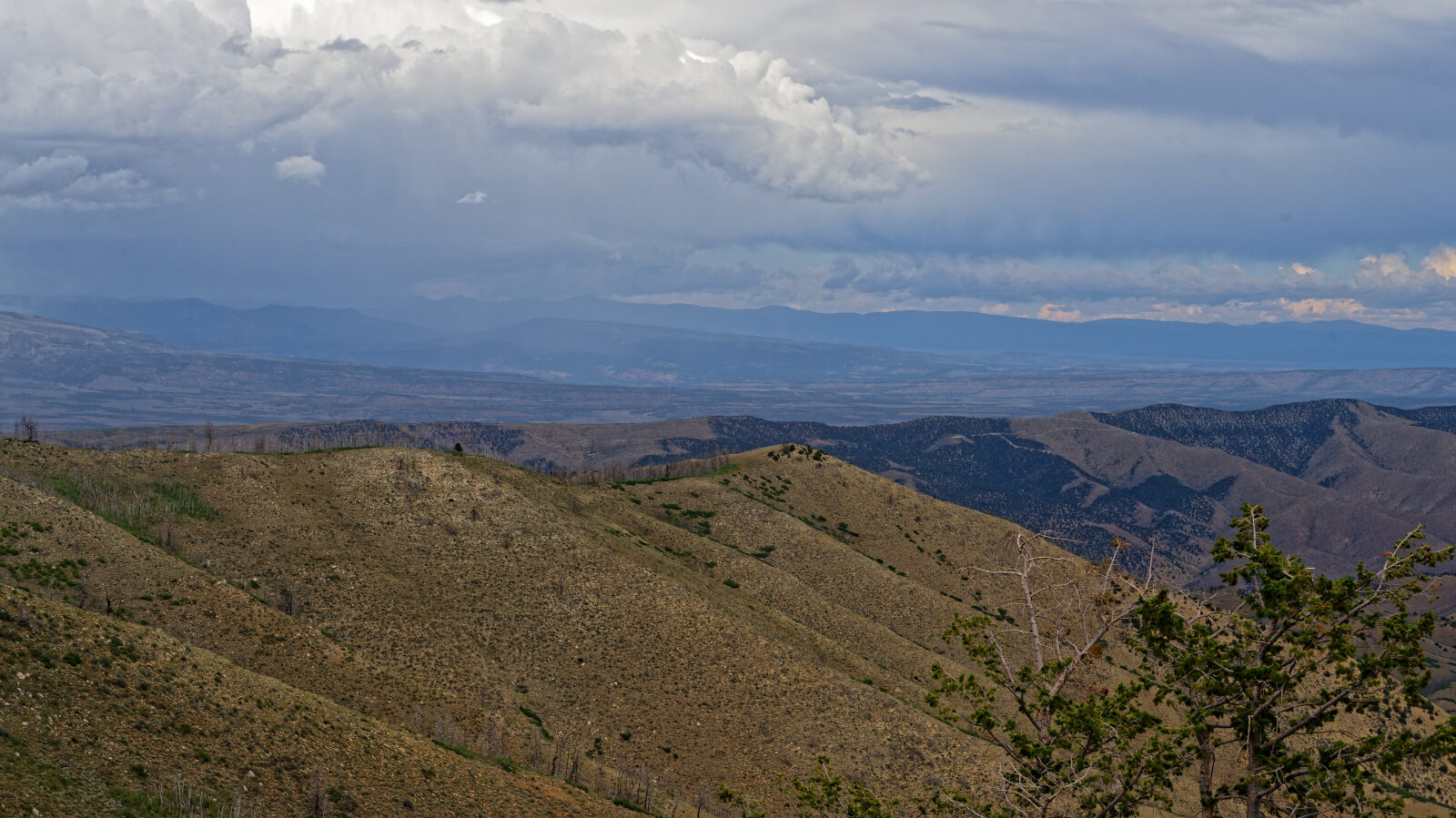
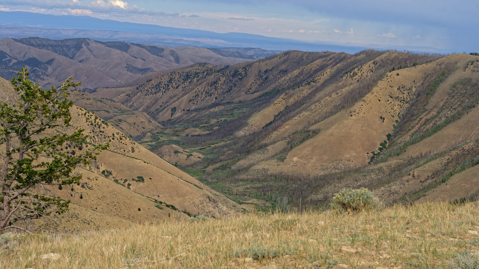
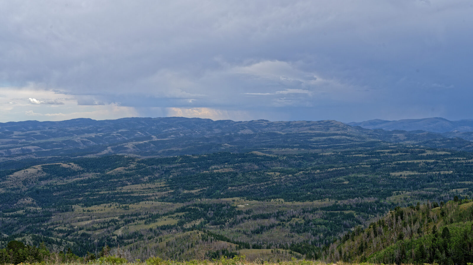
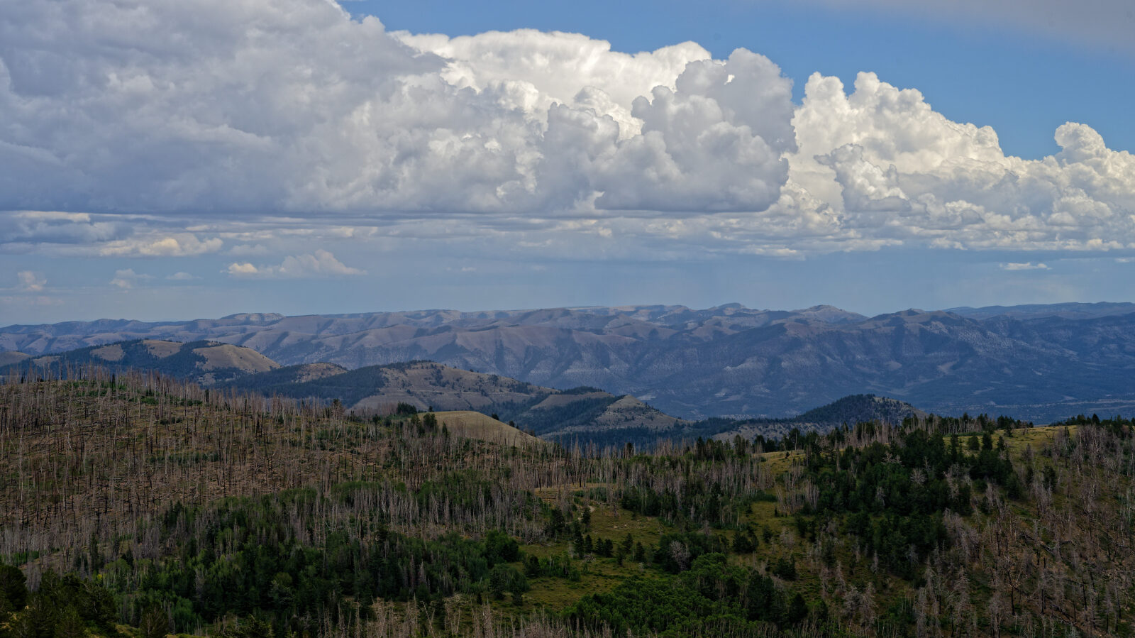
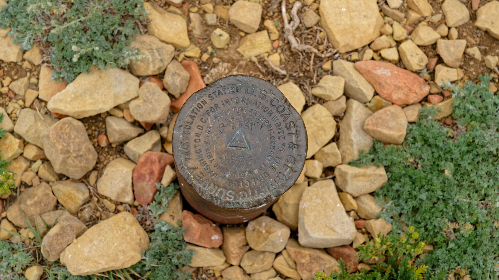
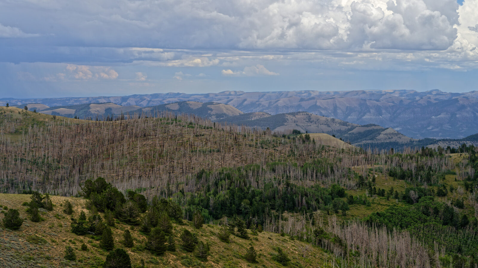
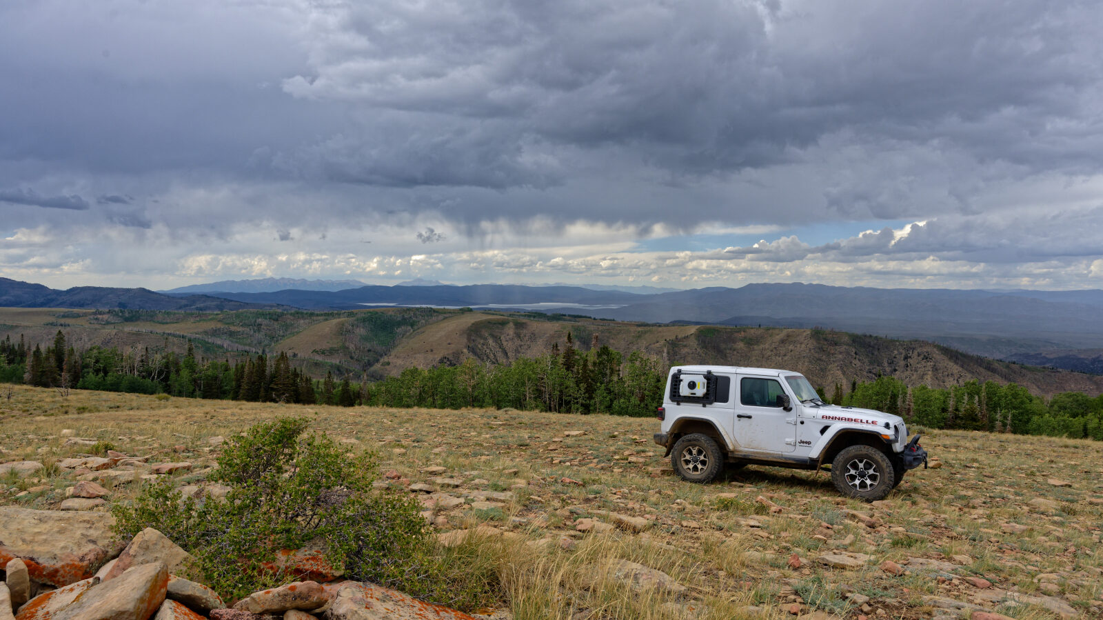
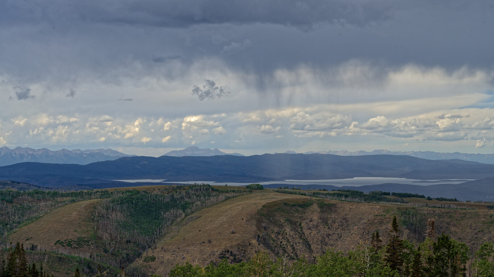
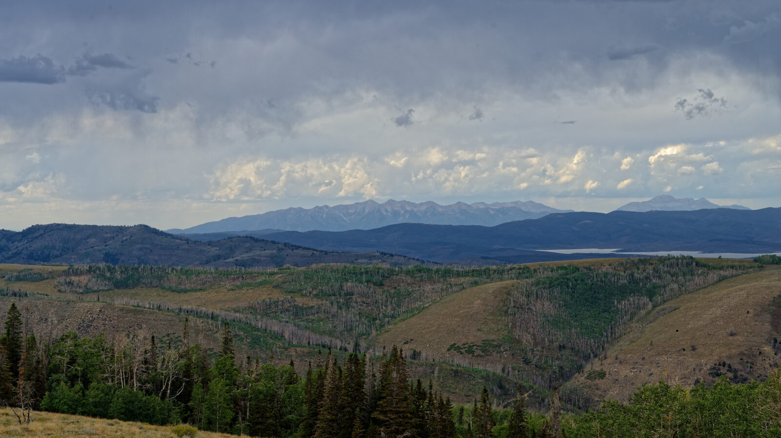
The driver describes the climb to the top of Strawberry Peak as worth the drive, with some pretty good views from the summit. The large open camp spot has a great view and no shade, but offers no privacy. The driver notes the trail ends at the top and does not continue as shown on the motor vehicle use map.
Map
The interactive map needs JavaScript. Every waypoint is also listed below.
Waypoints
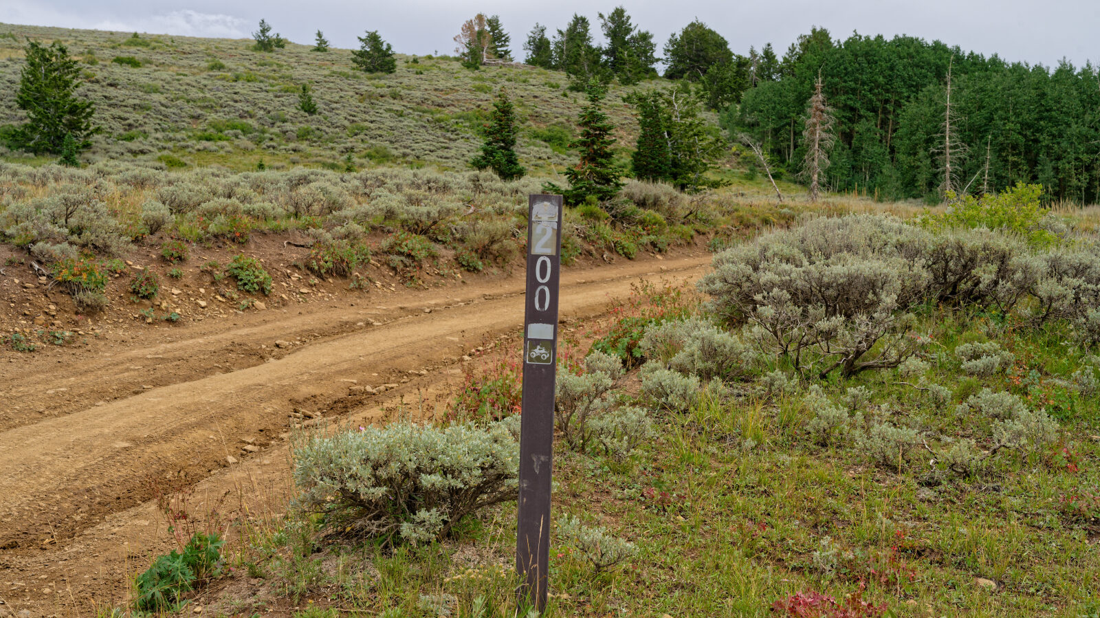
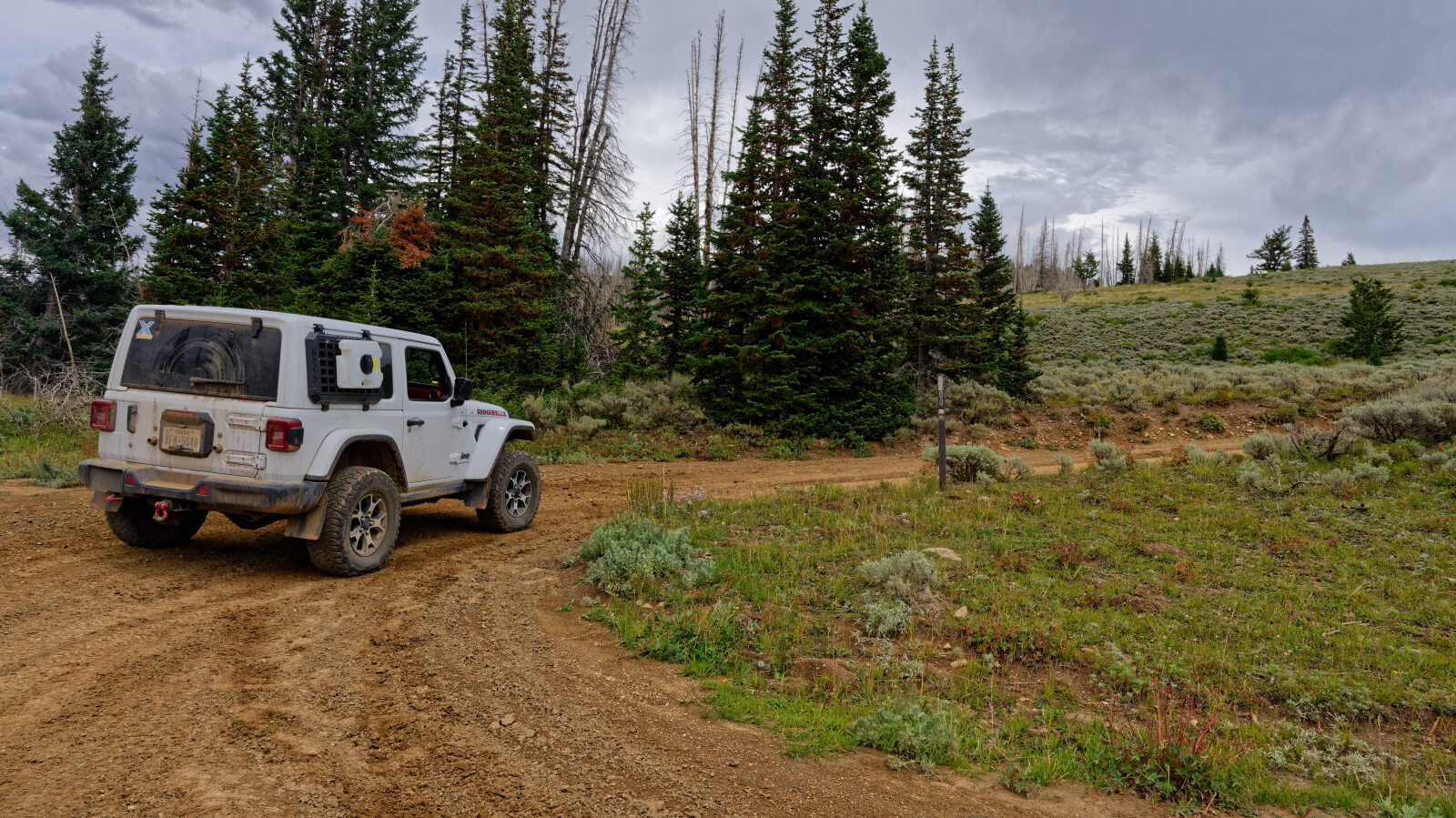
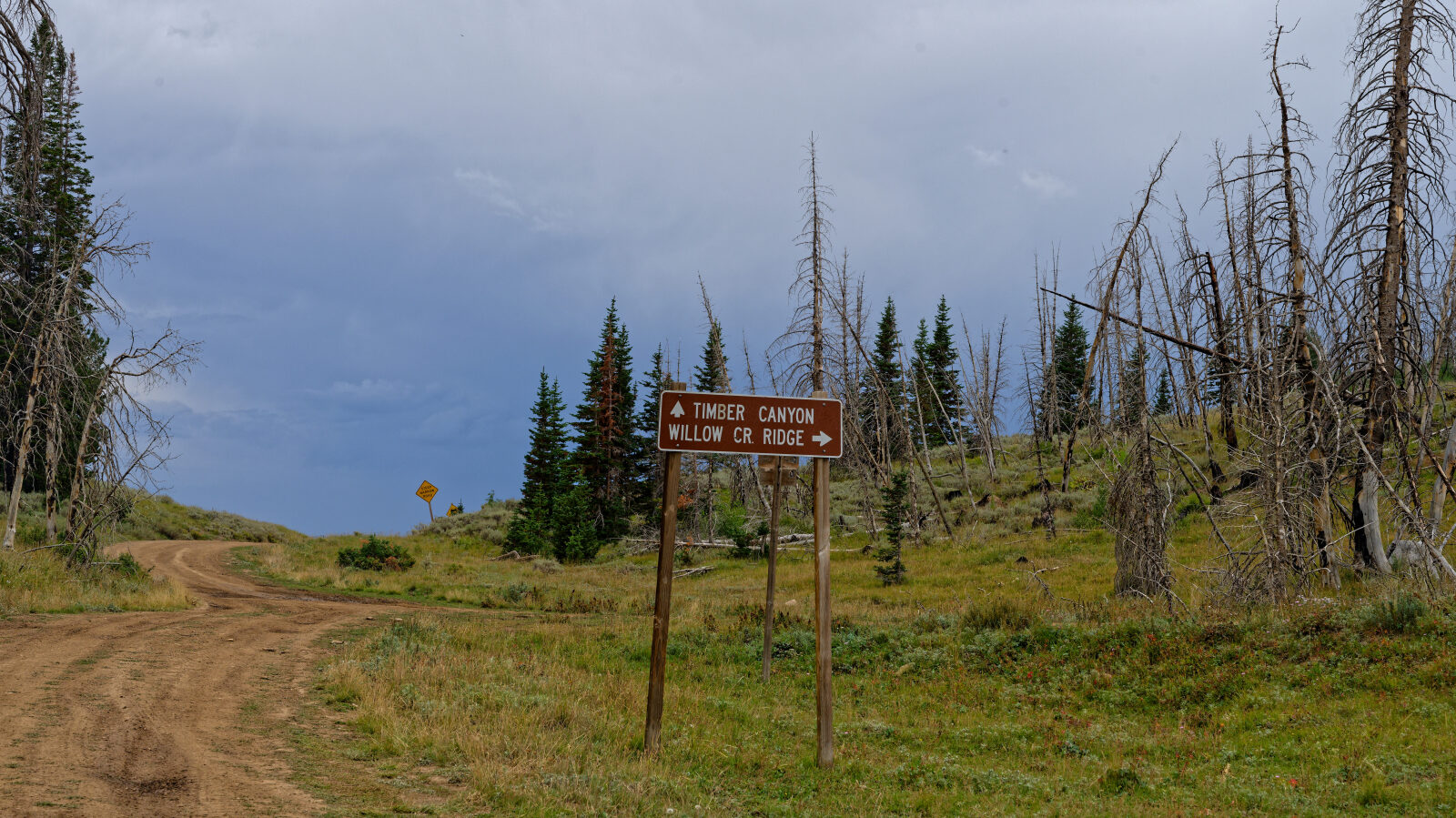
Waypoint 1 (40.03949, -110.99617)
This is the start of trail 10200. The driver first thought it was Strawberry Ridge Road, but the name is to be confirmed.
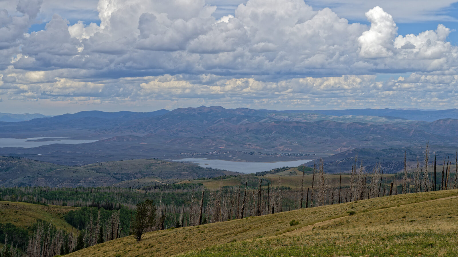
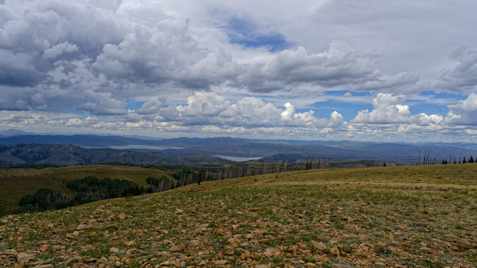
Waypoint 2 (40.04811, -110.98493)
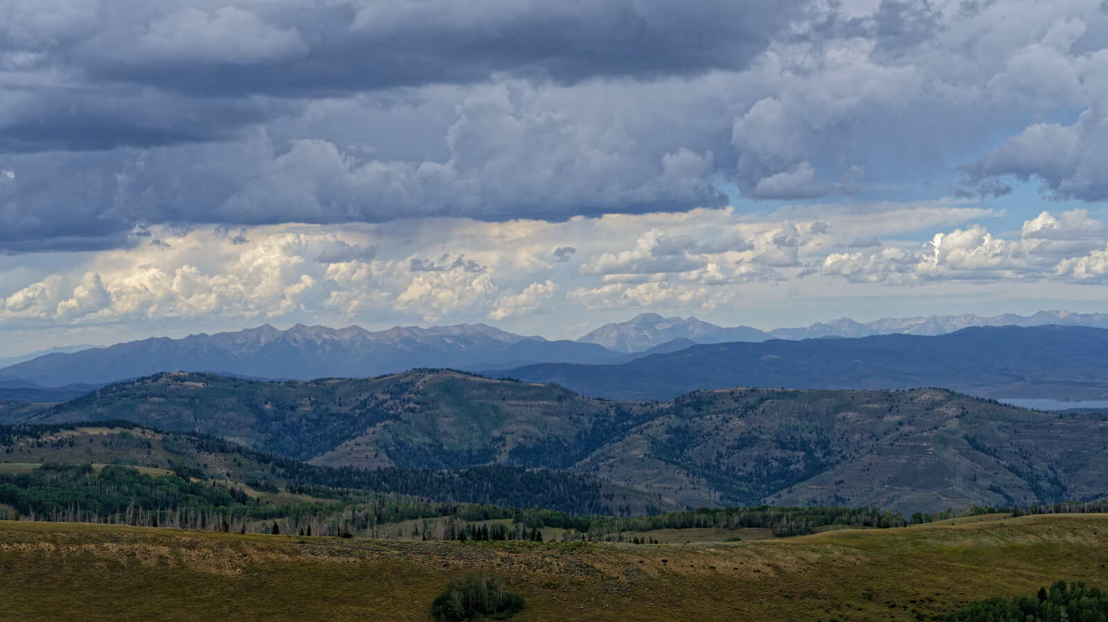
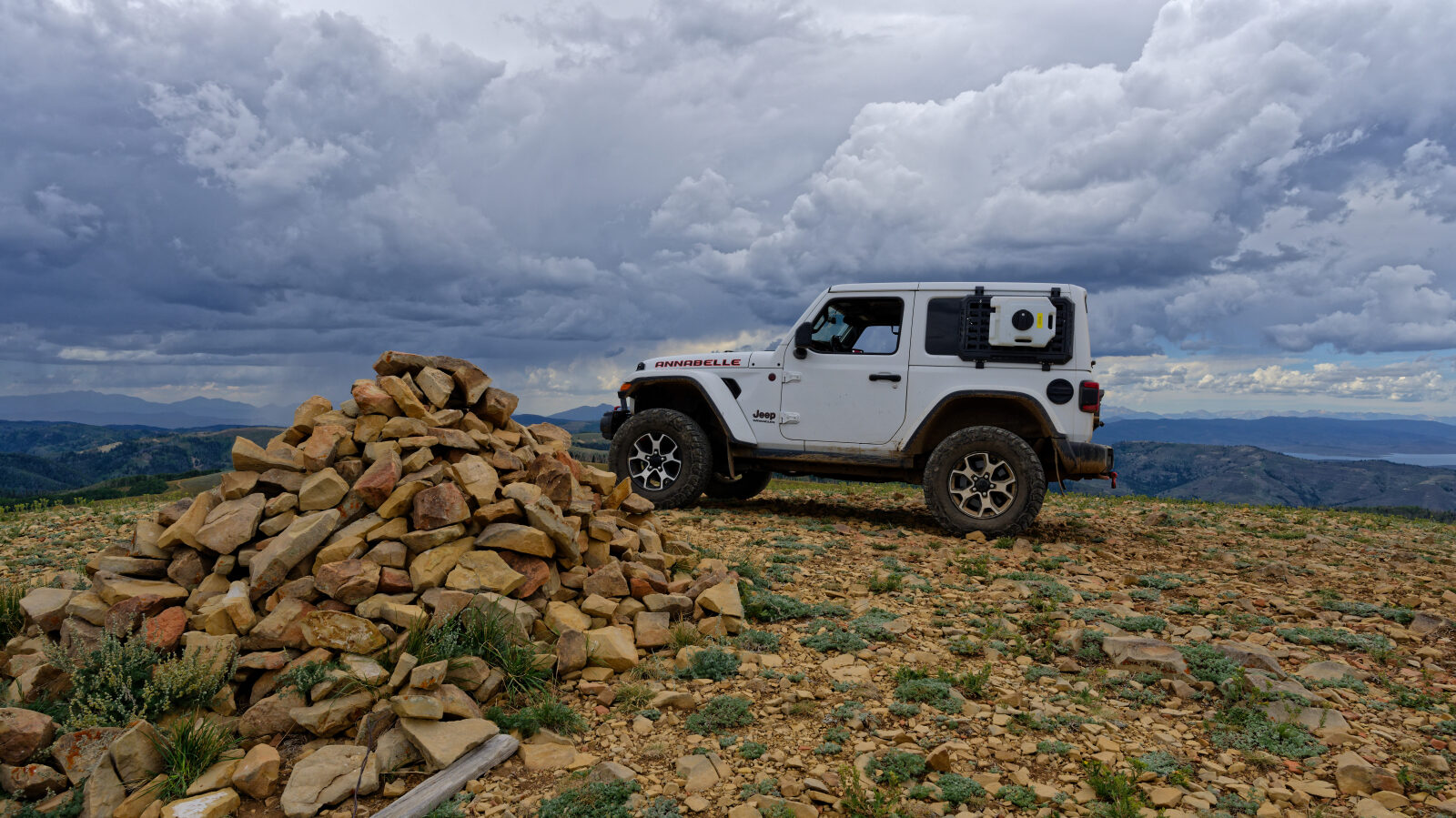
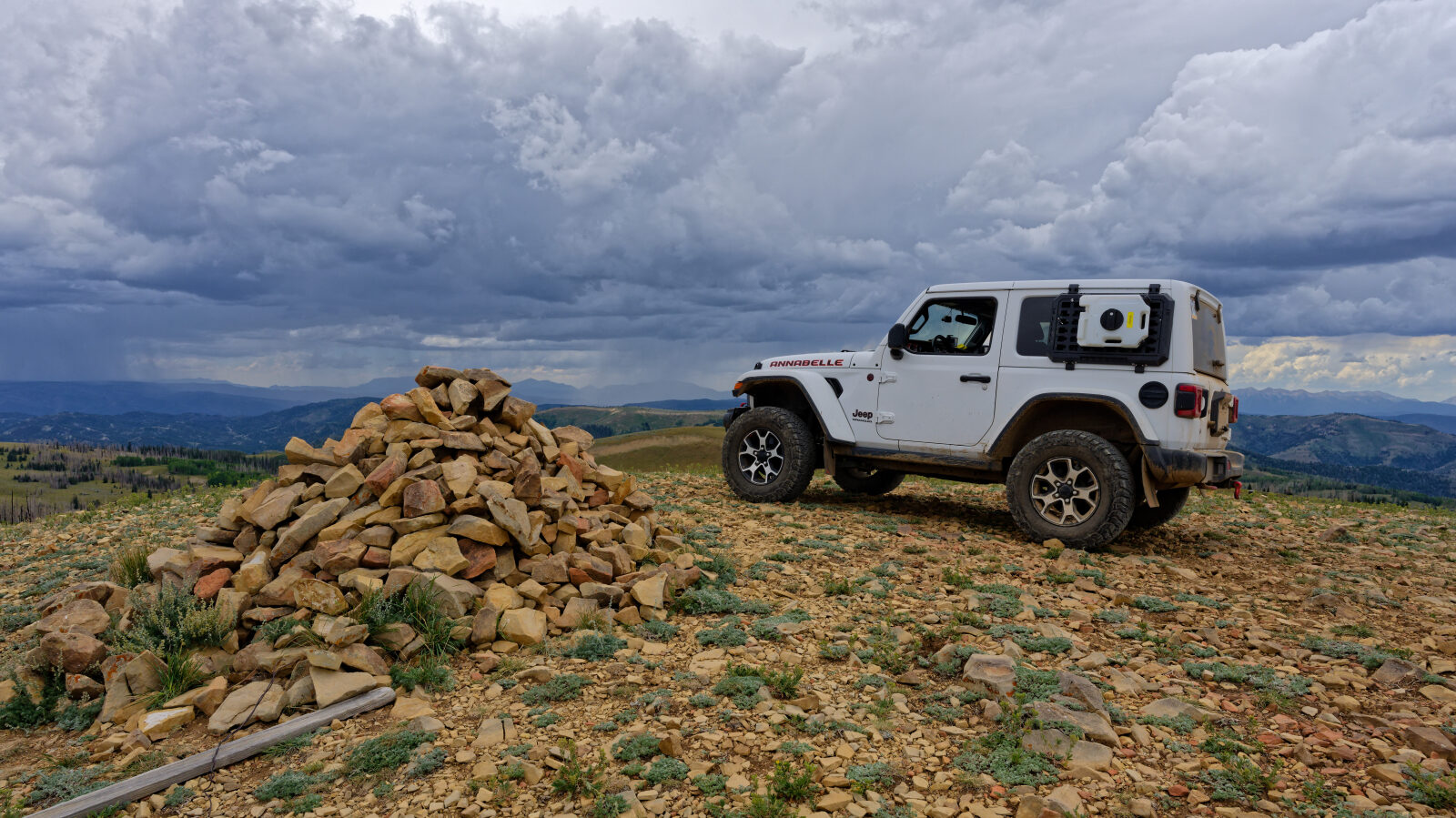
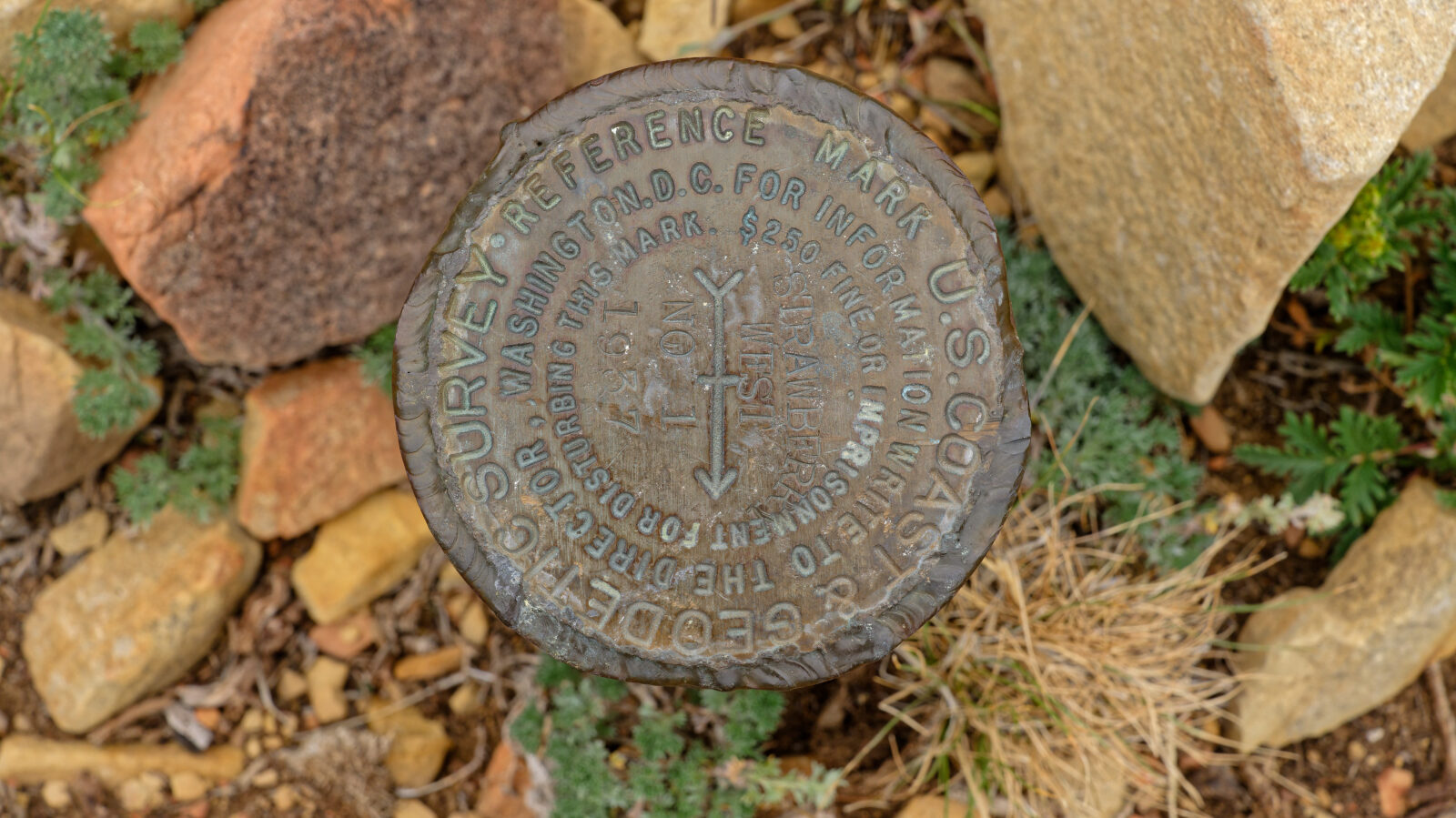
Waypoint 3 (40.04702, -110.98471)
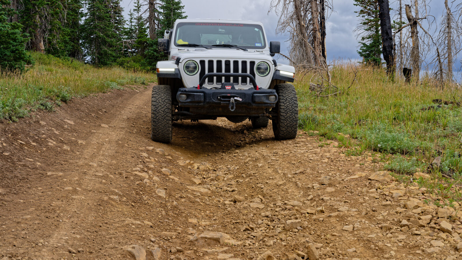
Waypoint 4 (40.05016, -110.98212)
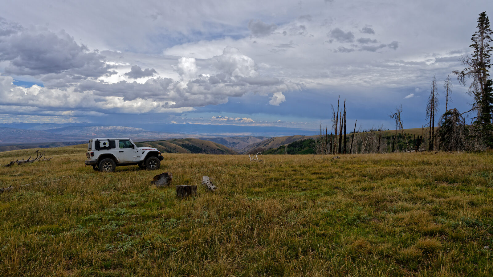
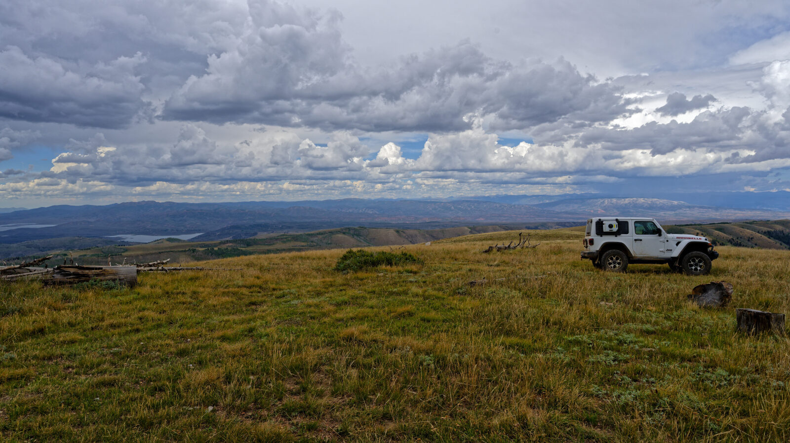
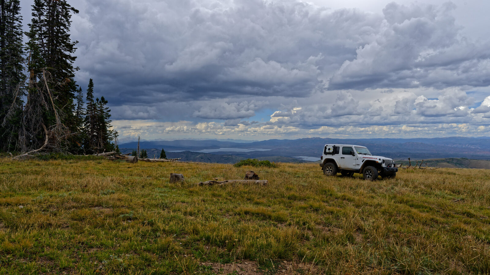
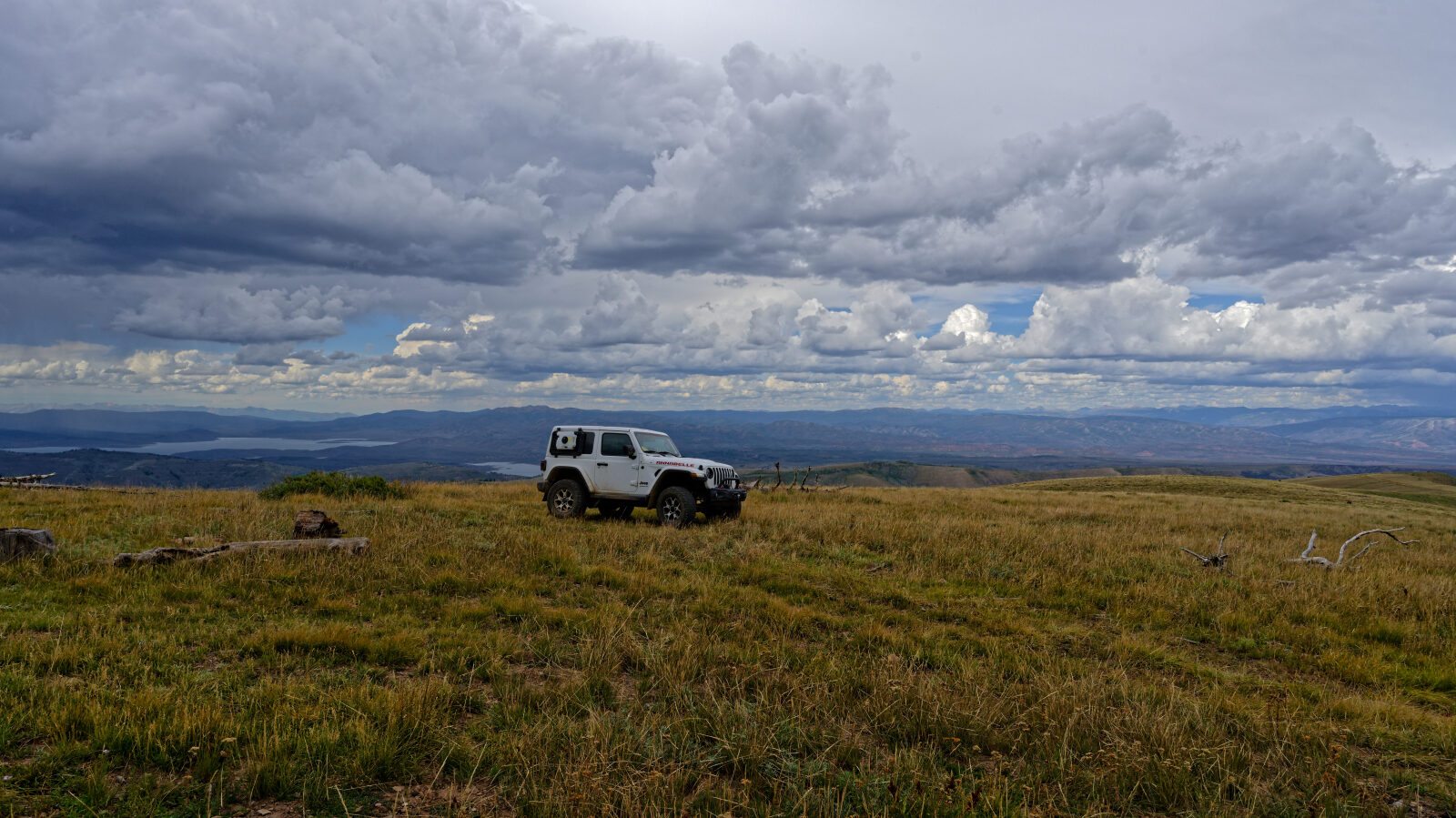
Waypoint 5 (40.05083, -110.98099)
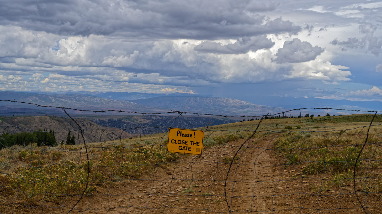
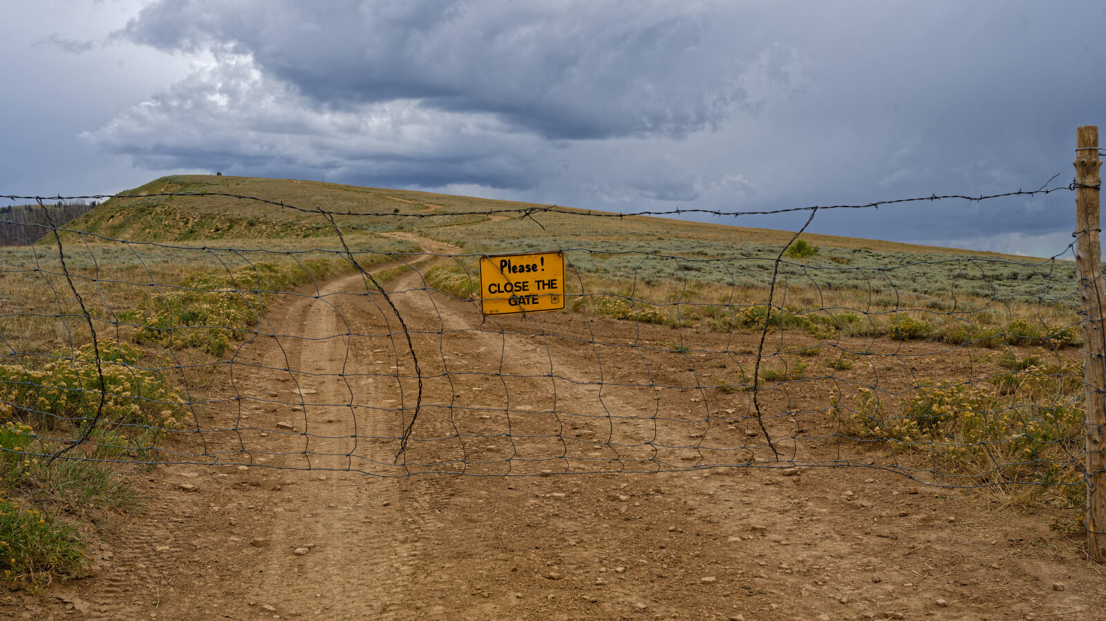
Waypoint 6 (40.06801, -110.97128)
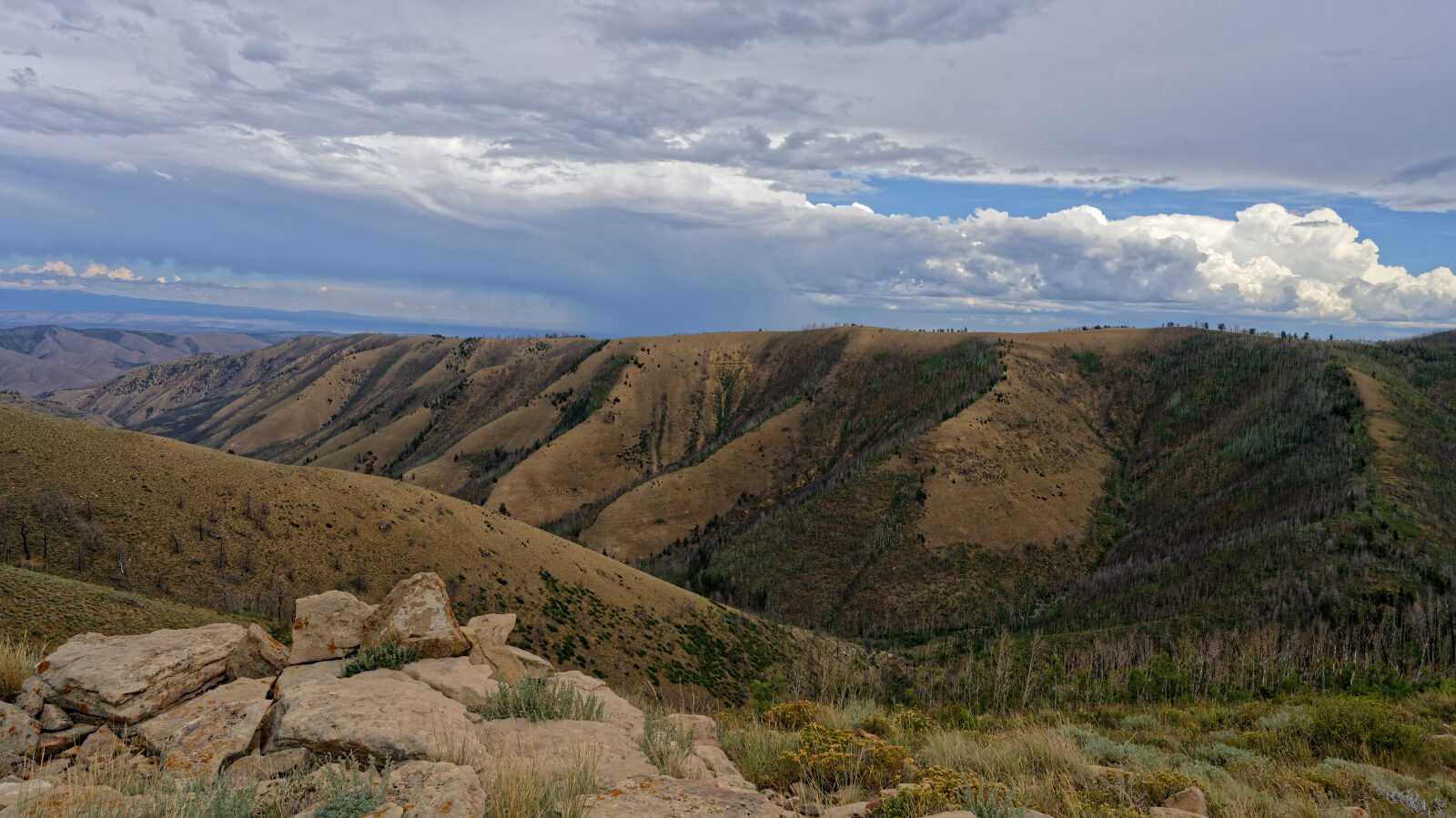
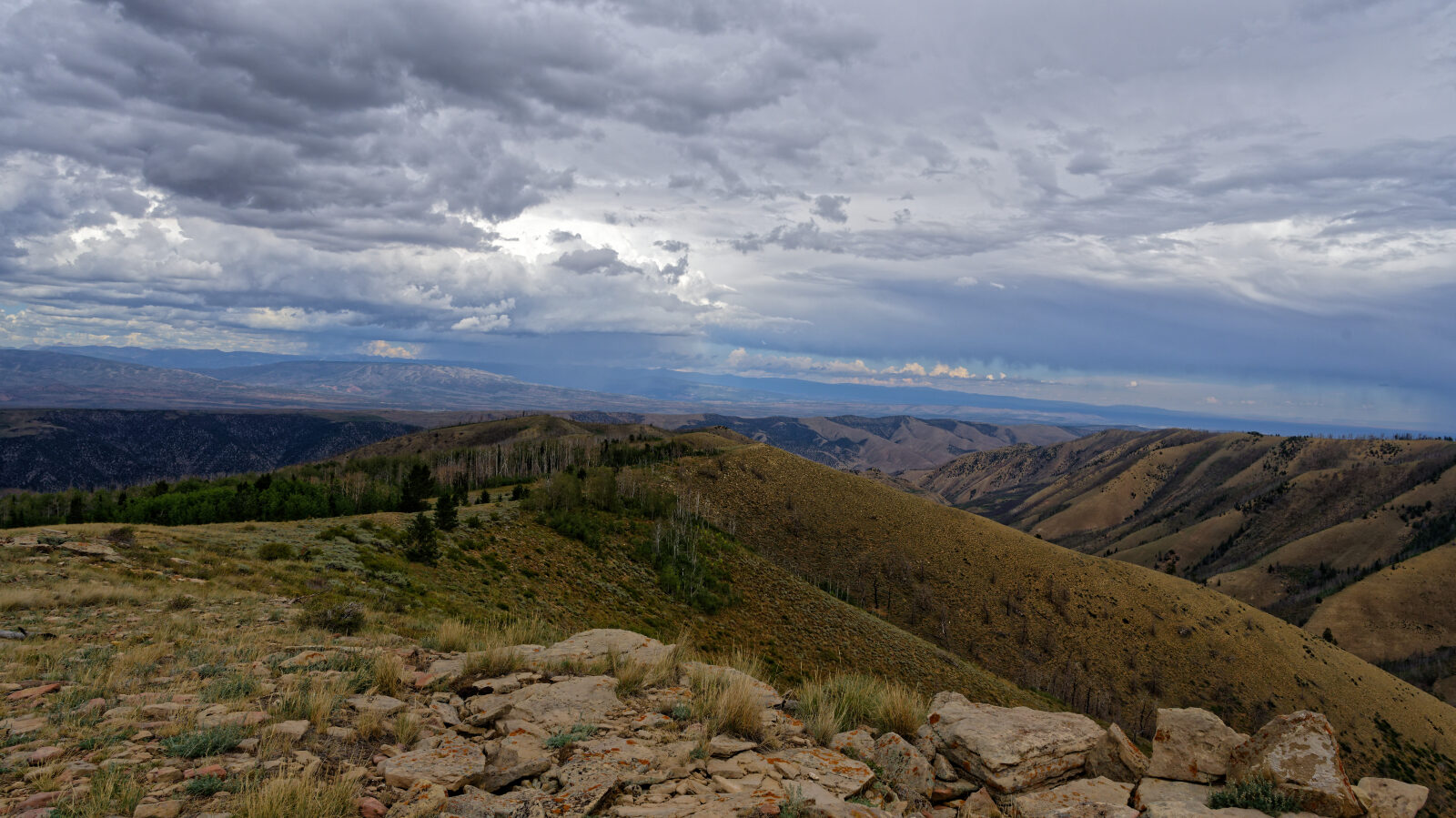
Waypoint 7 (40.08042, -110.95220)
Waypoint 8 (40.08065, -110.95053)