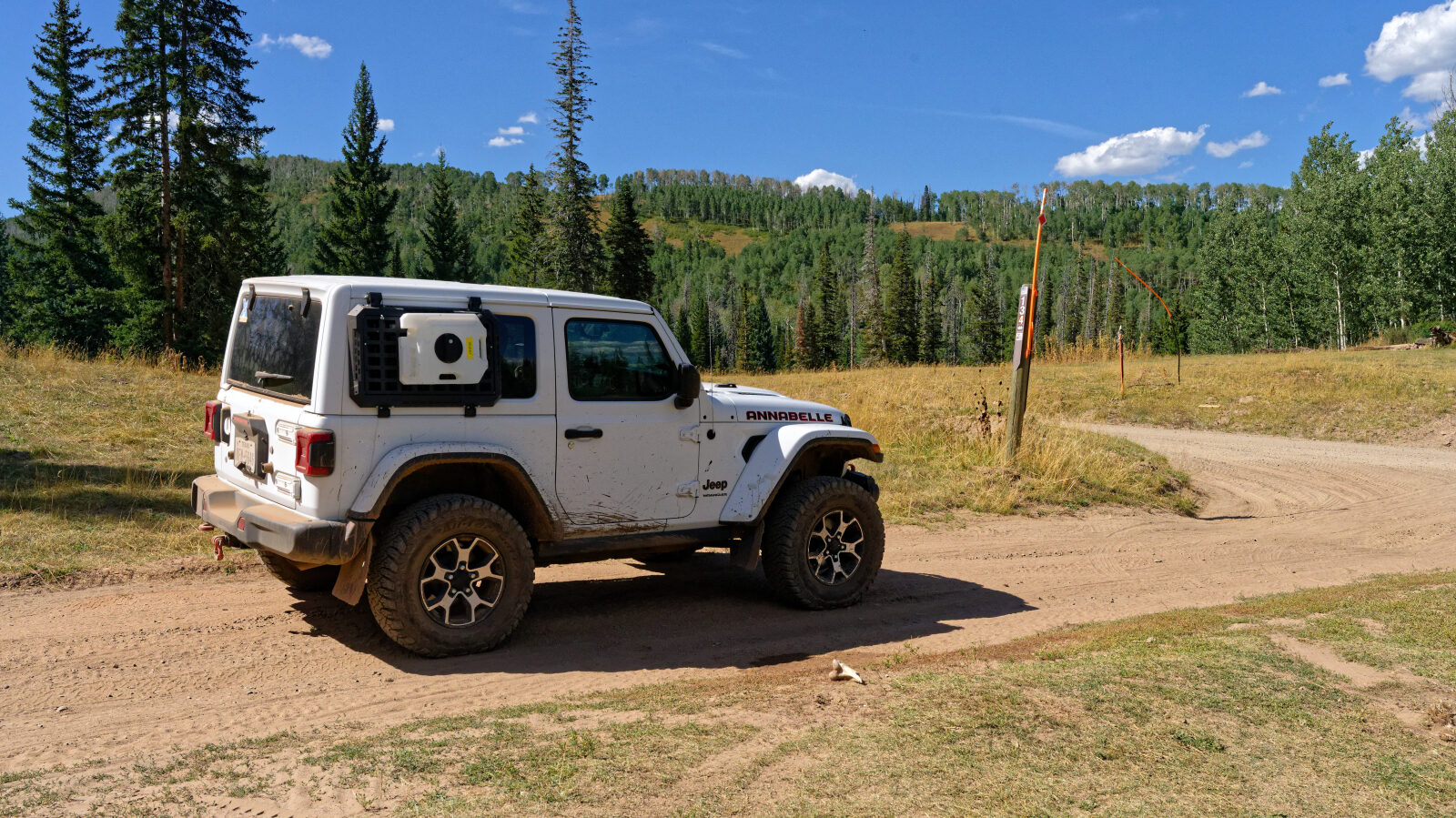
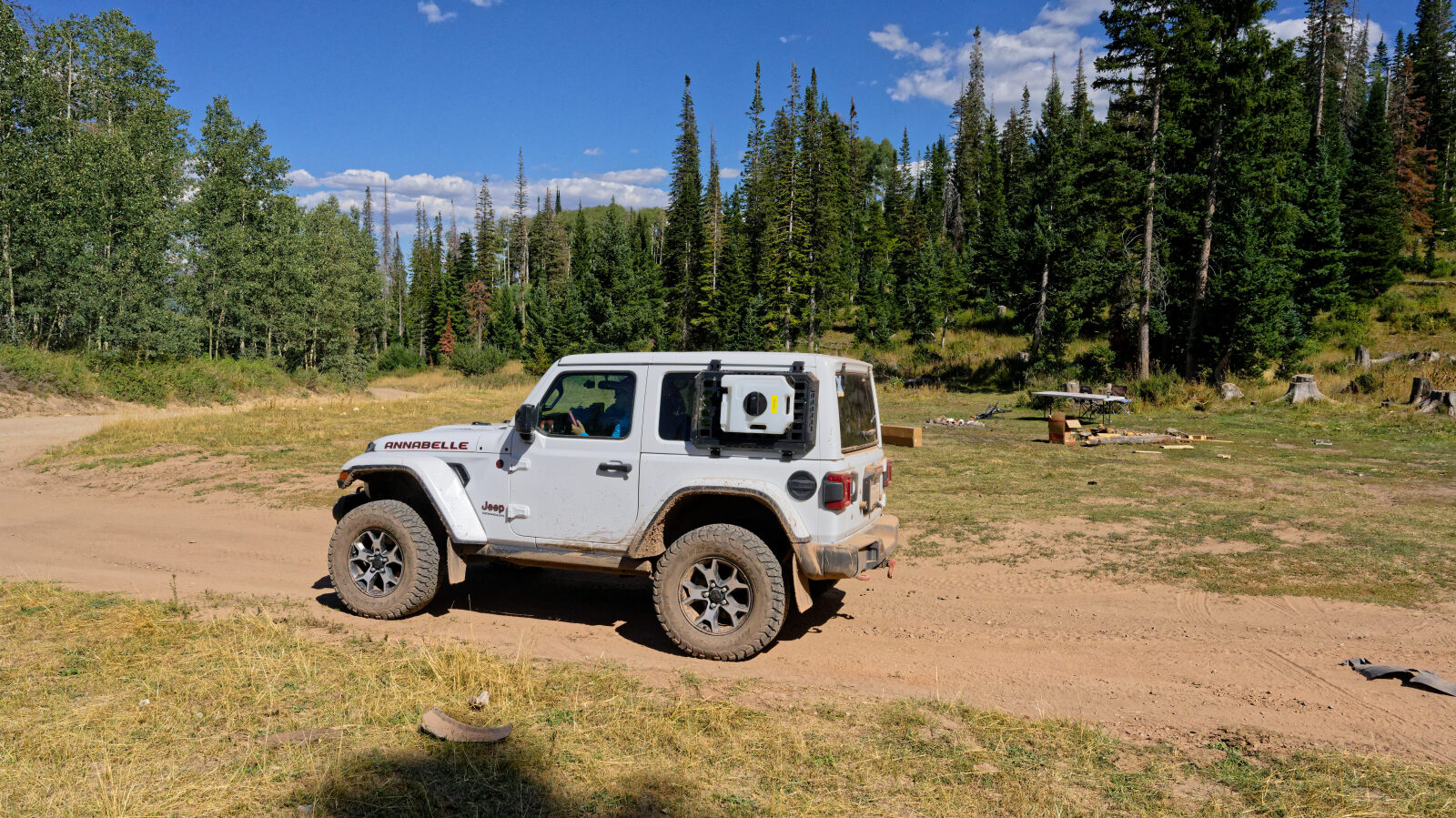
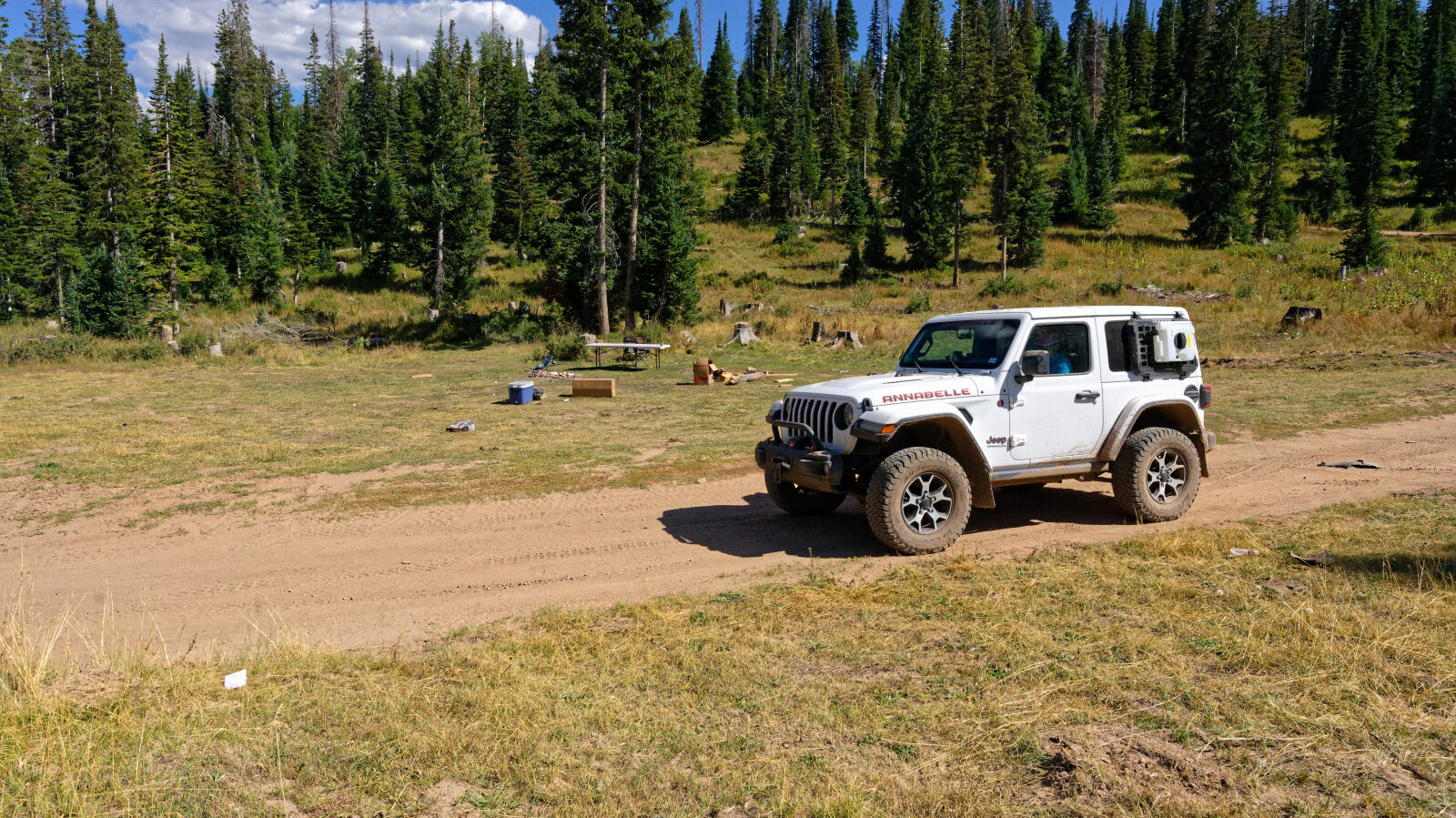
Upper Mud Creek - Level 2
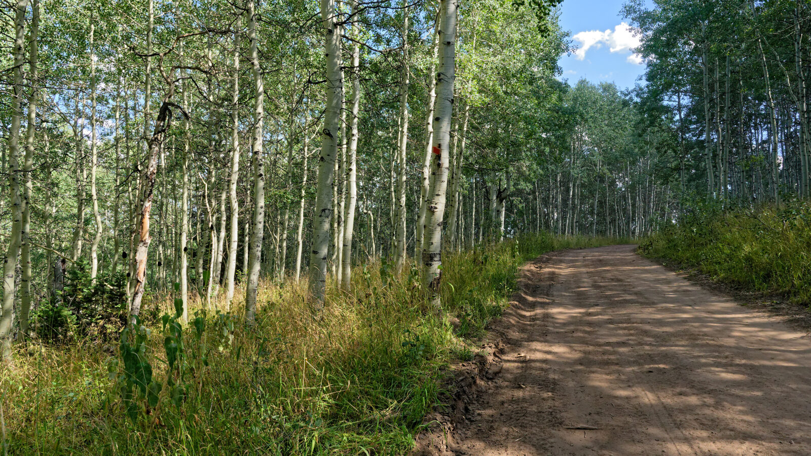
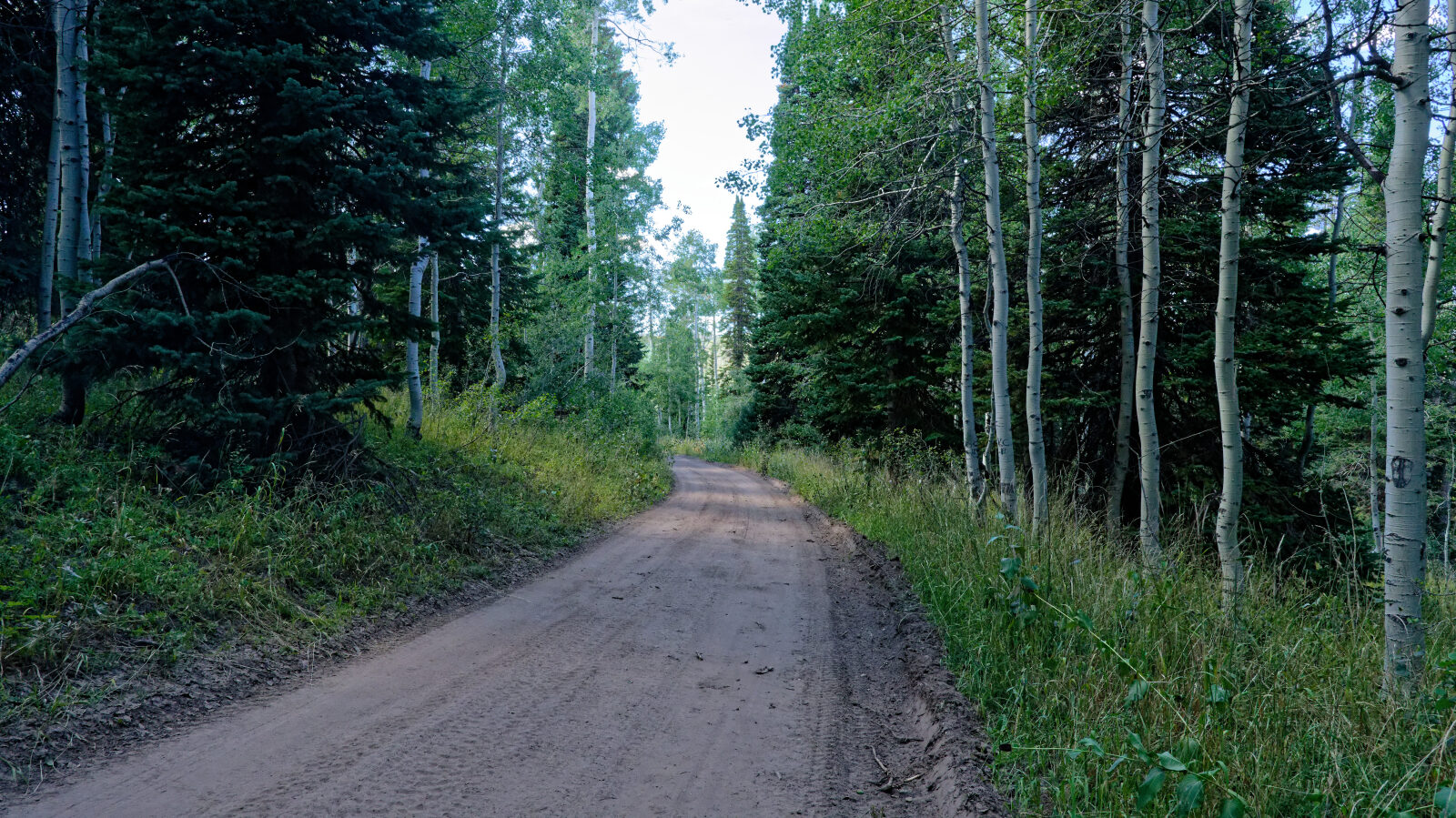
Upper Mud Creek is a short backcountry route in the Wasatch Mountains of Wasatch County, Utah, within the Uinta-Wasatch-Cache National Forest. It climbs through high-elevation forest and open mountain terrain east of the Wasatch Front, in an area used for dispersed camping, hunting and general recreation.
The route works as a quick outing or as a link to other forest roads in the area. Check current conditions with the Uinta-Wasatch-Cache National Forest before heading out, especially early in the season.
Trail Summary
- LocationWasatch County, Utah
- Distance2.4 miles
- DifficultyLevel 2
- Elevation8,530 ft to 9,178 ft with a 648 ft change
- Travel Time26 minutes
Difficulty
Typically suitable for high clearance 2WD
This trail is rated Level 2, which is Easy. It is typically suitable for a high clearance 2WD vehicle with stock equipment, though tire traction and ground clearance may be tested. Expect dirt and rocky sections with rocks, dips or ruts under 9 inches. Small ledges and shallow water crossings under 12 inches are possible. The road is usually unmaintained after rain or snow and is generally one to two vehicles wide. The driver's log has no specific obstacles to report.
Map
The interactive map needs JavaScript. Every waypoint is also listed below.
Waypoints
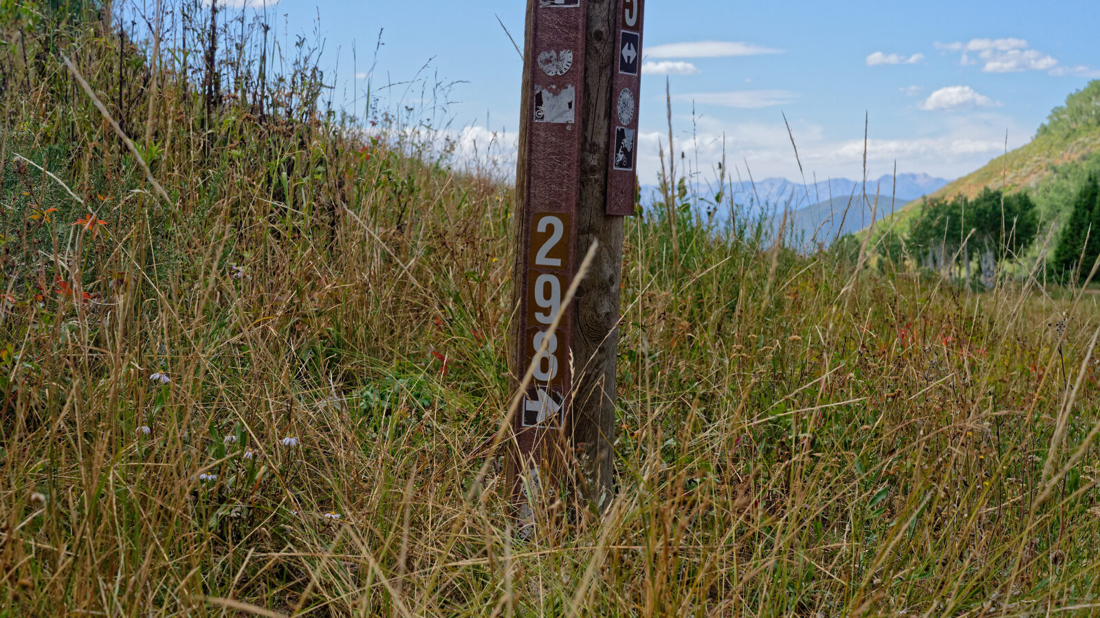
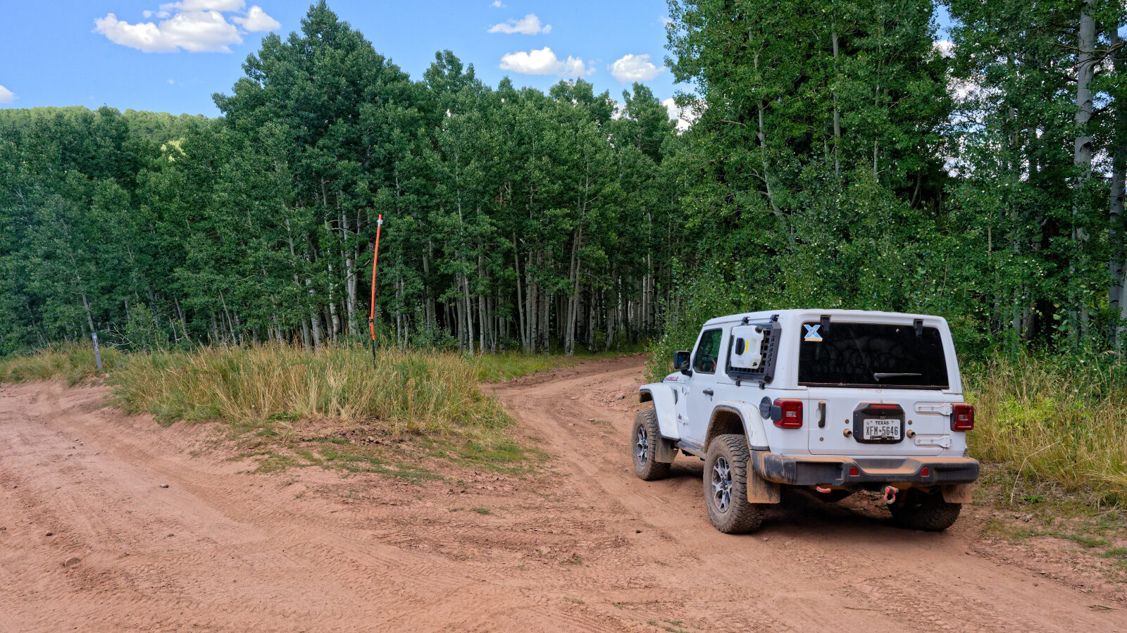
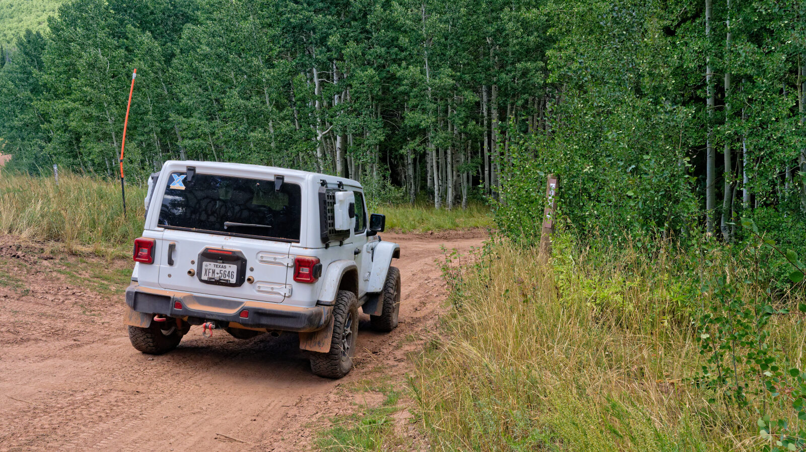
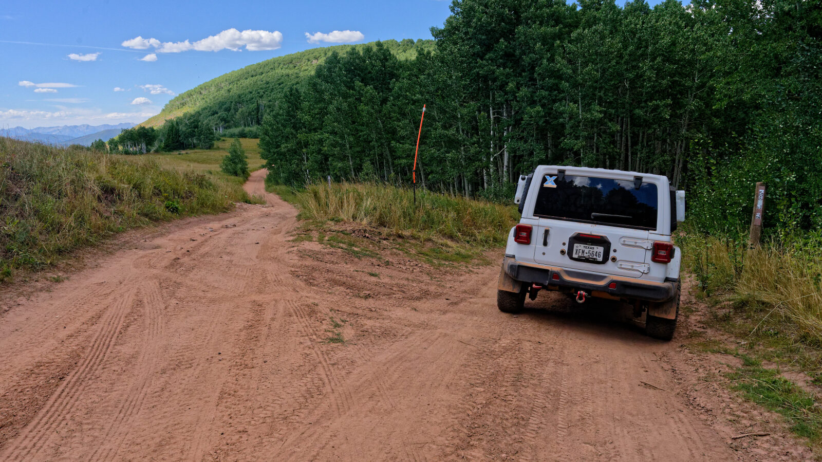
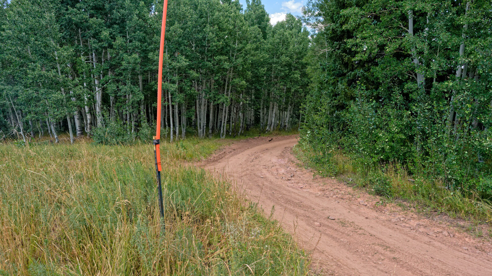
Waypoint 1 (40.20717, -111.26378)
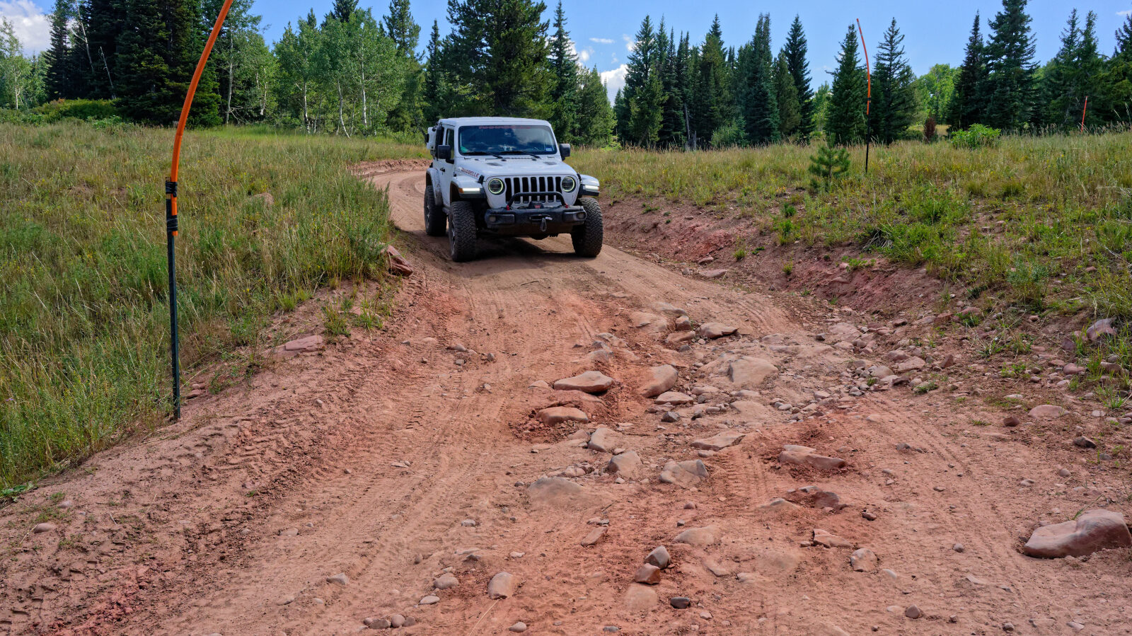
Waypoint 2 (40.20812, -111.26171)
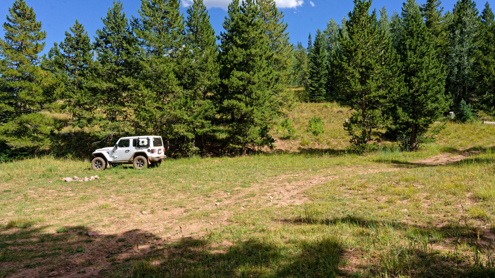
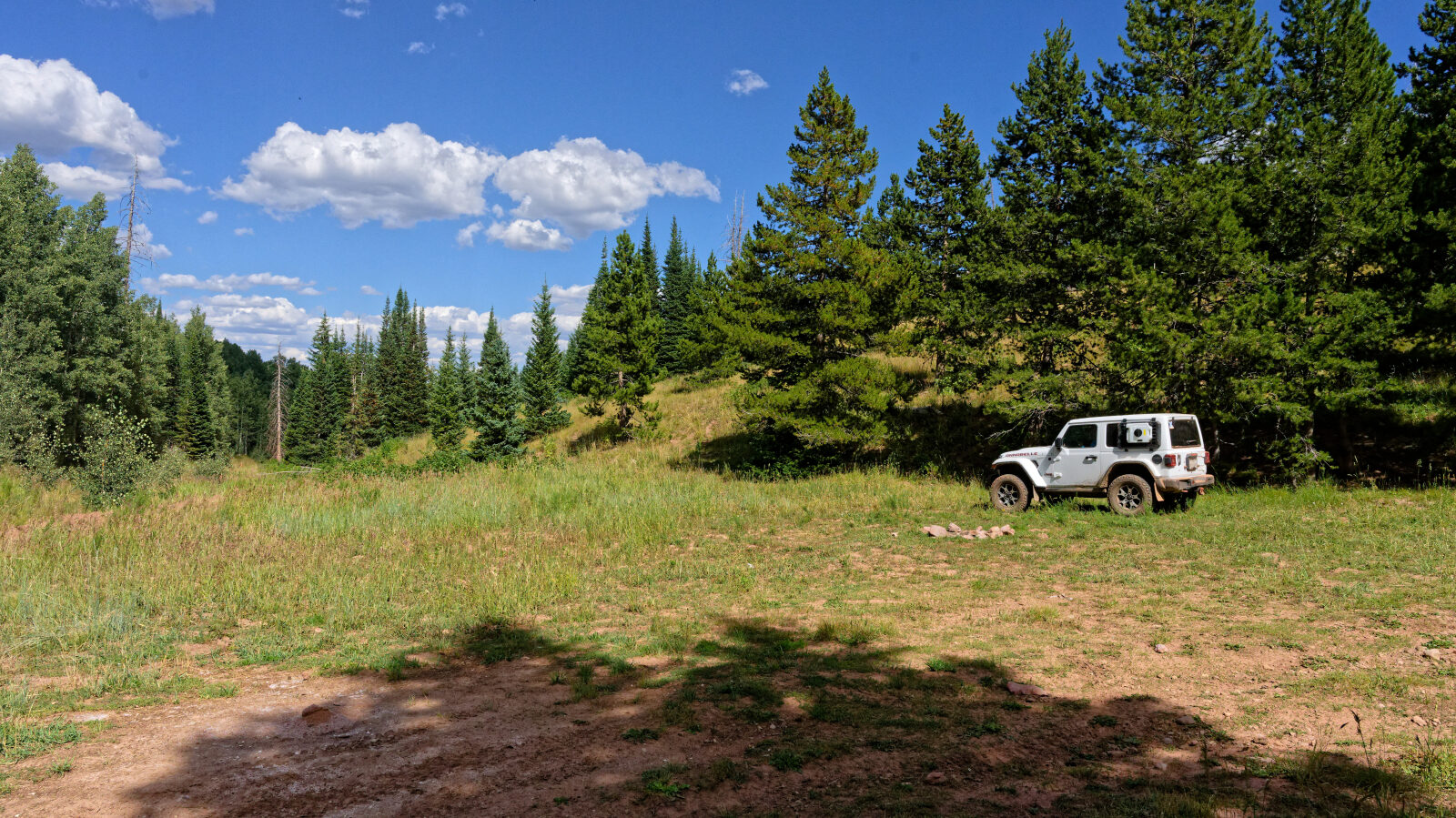
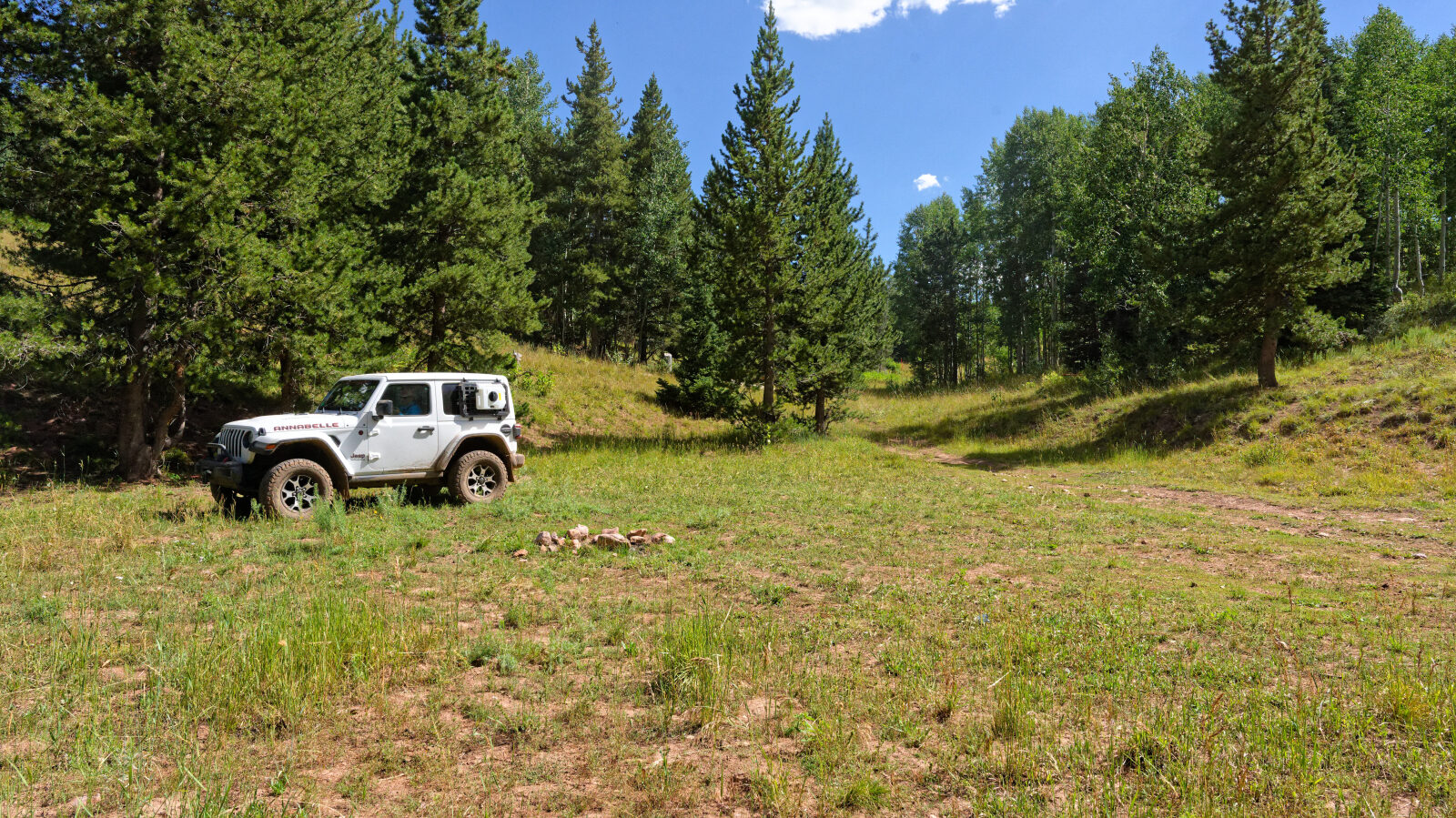
Waypoint 3 (40.20856, -111.25680)
Waypoint 4 (40.21569, -111.24084)