Upper White River - Level 3
Upper White River is a spur trail that branches off Vein Drill, route 701, in the high country of Wasatch County, Utah. It follows the upper reaches of the White River drainage through forested terrain in the Uinta-Wasatch-Cache National Forest.
The route is a quiet backcountry drive with limited traffic. It suits drivers who want a secluded outing off the main forest roads.
Trail Summary
- LocationWasatch County, Utah
- Distance14.2 miles
- DifficultyLevel 3
- Elevation8,298 ft to 8,937 ft with a 639 ft change
- Travel Time2 hours 14 minutes
Difficulty
Best suited for a high clearance 4x4
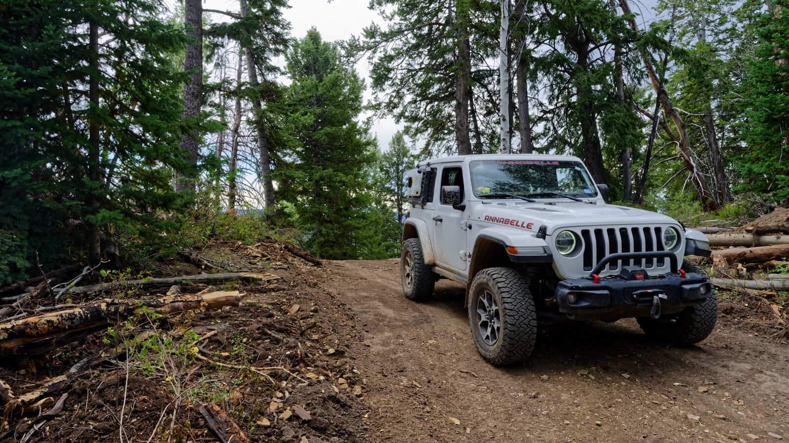
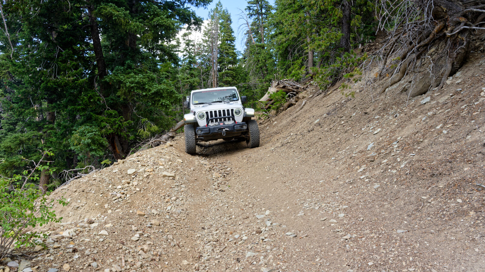
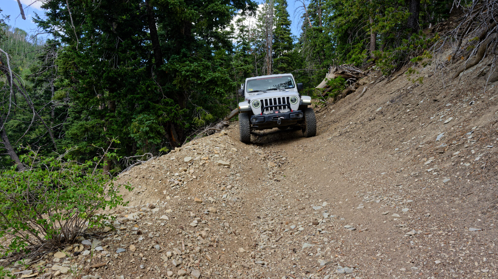
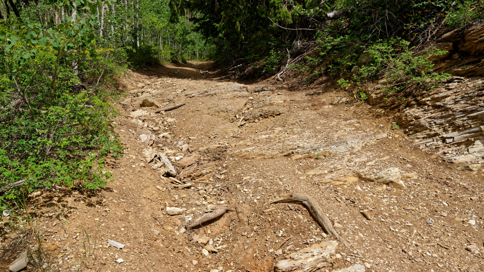
This trail is rated Moderate (level 3), best suited for a high clearance 4x4. Expect uneven, rutted dirt with loose rocks, possible mud, and obstacles up to about 12 inches, such as ledges and short steep grades. The road is generally one vehicle wide with places to pass. The log notes that the spur at the start is the hardest spot, a short section closer to a three and a half to four, so careful tire placement is needed there. The trail overall stays at level 3. Further along, the trail is a very narrow shelf road with off-camber spots and some exposure, so take care and watch your line.
Terrain
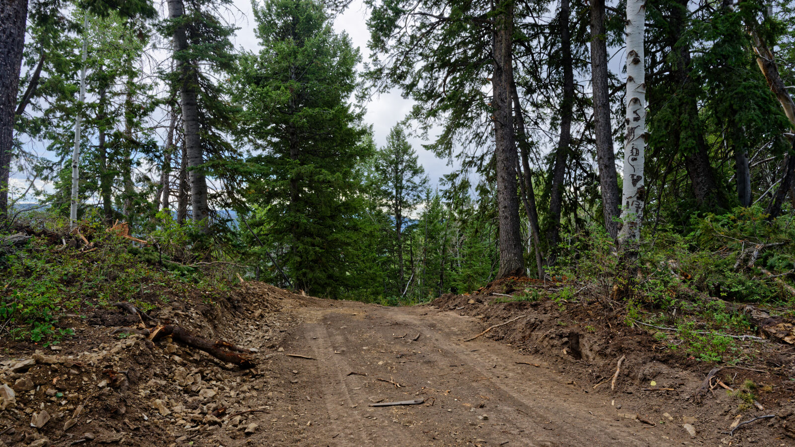
The route is a narrow forest road with a dirt surface, rocks and ruts. Parts of it are cut into a hillside as a shelf with off-camber sections and some exposure on the downhill side. Elevation stays in the high country, with timber and open slopes along the way.
Map
The interactive map needs JavaScript. Every waypoint is also listed below.
Waypoints
Waypoint 1 (40.02059, -111.05963)
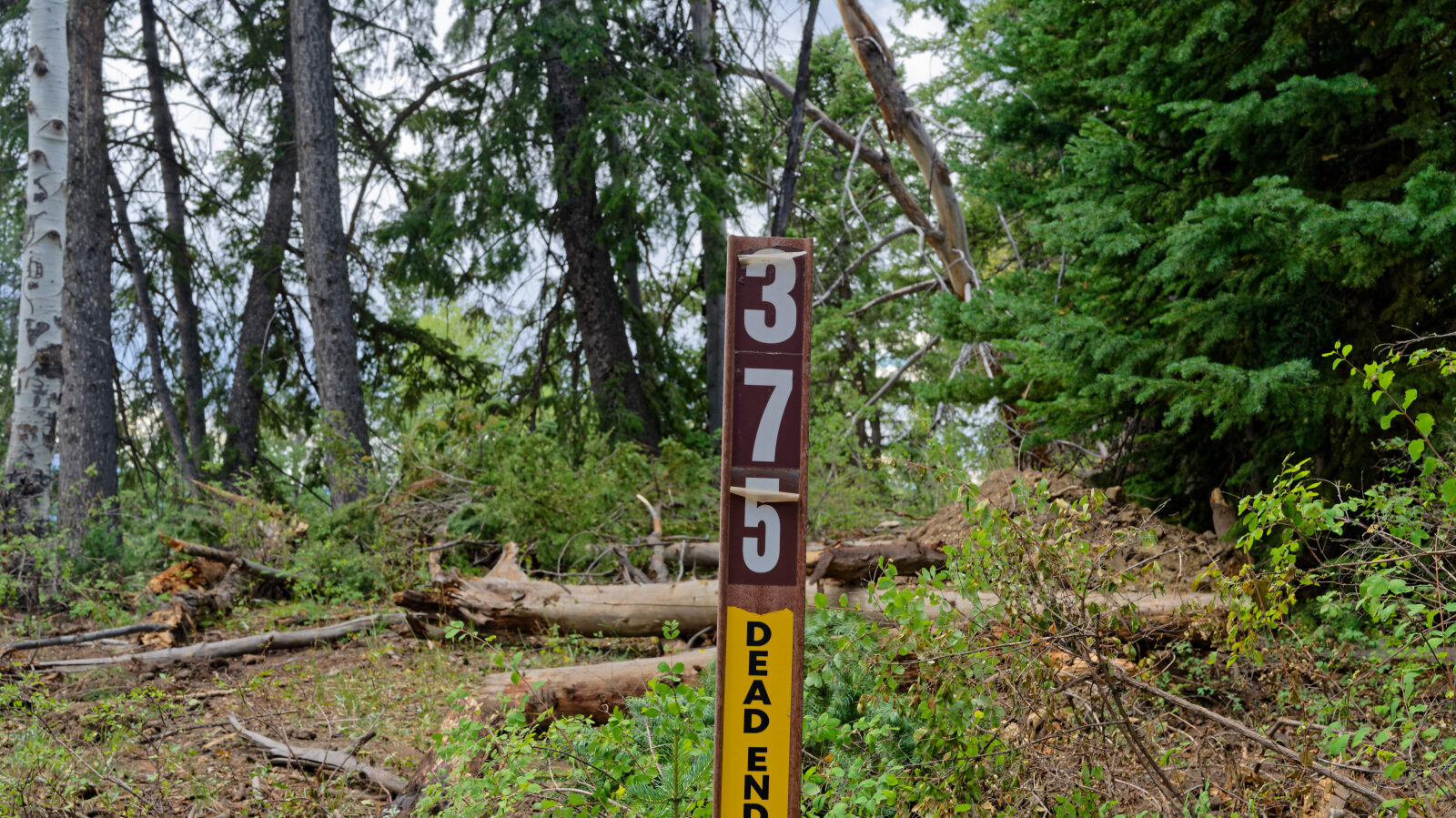
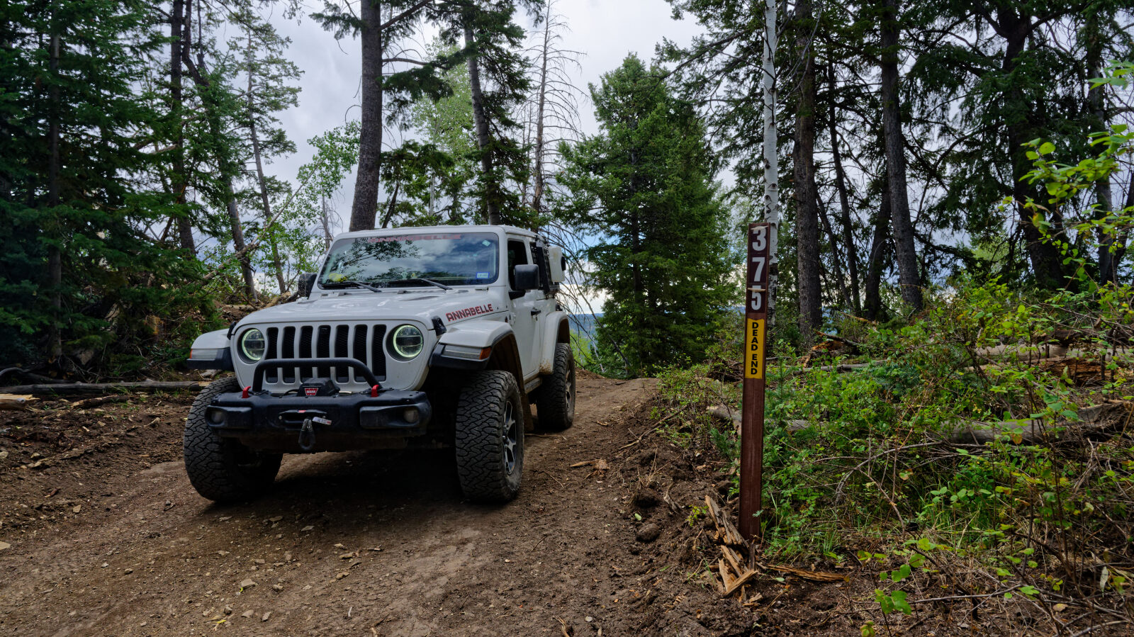
This is the spur off Vein Drill, 701. The spur number is 70375 and it is currently moderate.
Waypoint 2 (40.01946, -111.05986)
This is the hardest spot on the spur, about a level three and a half to four.
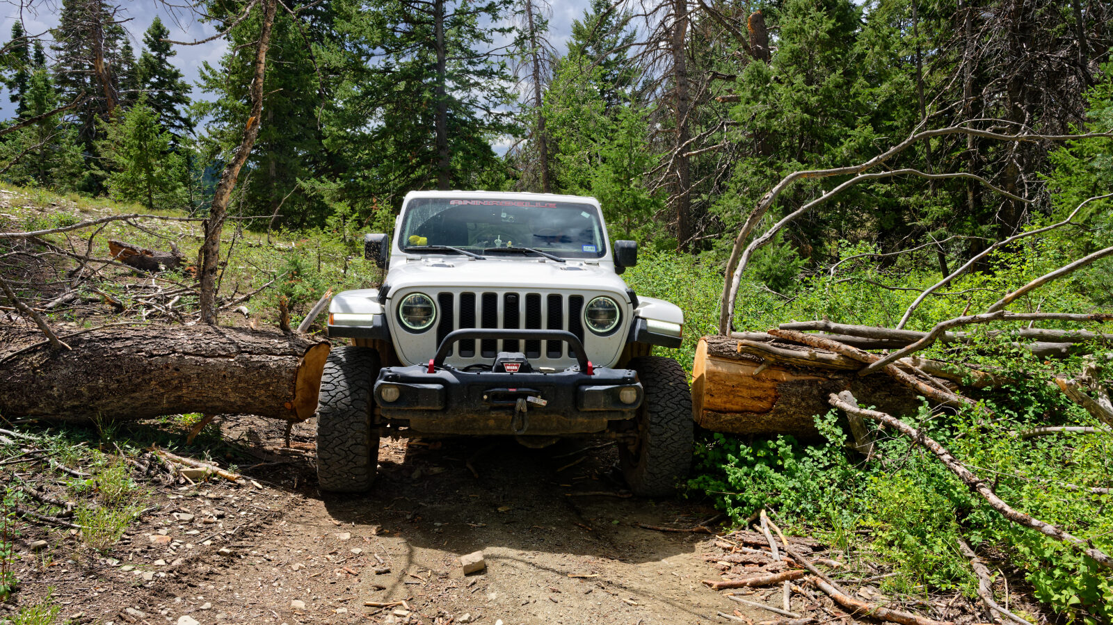
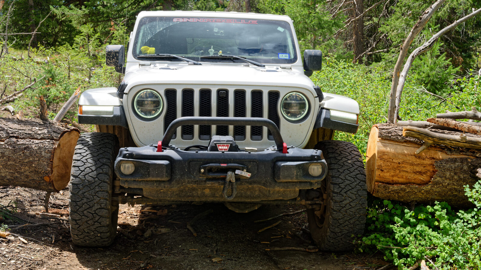
Waypoint 3 (40.01639, -111.05475)
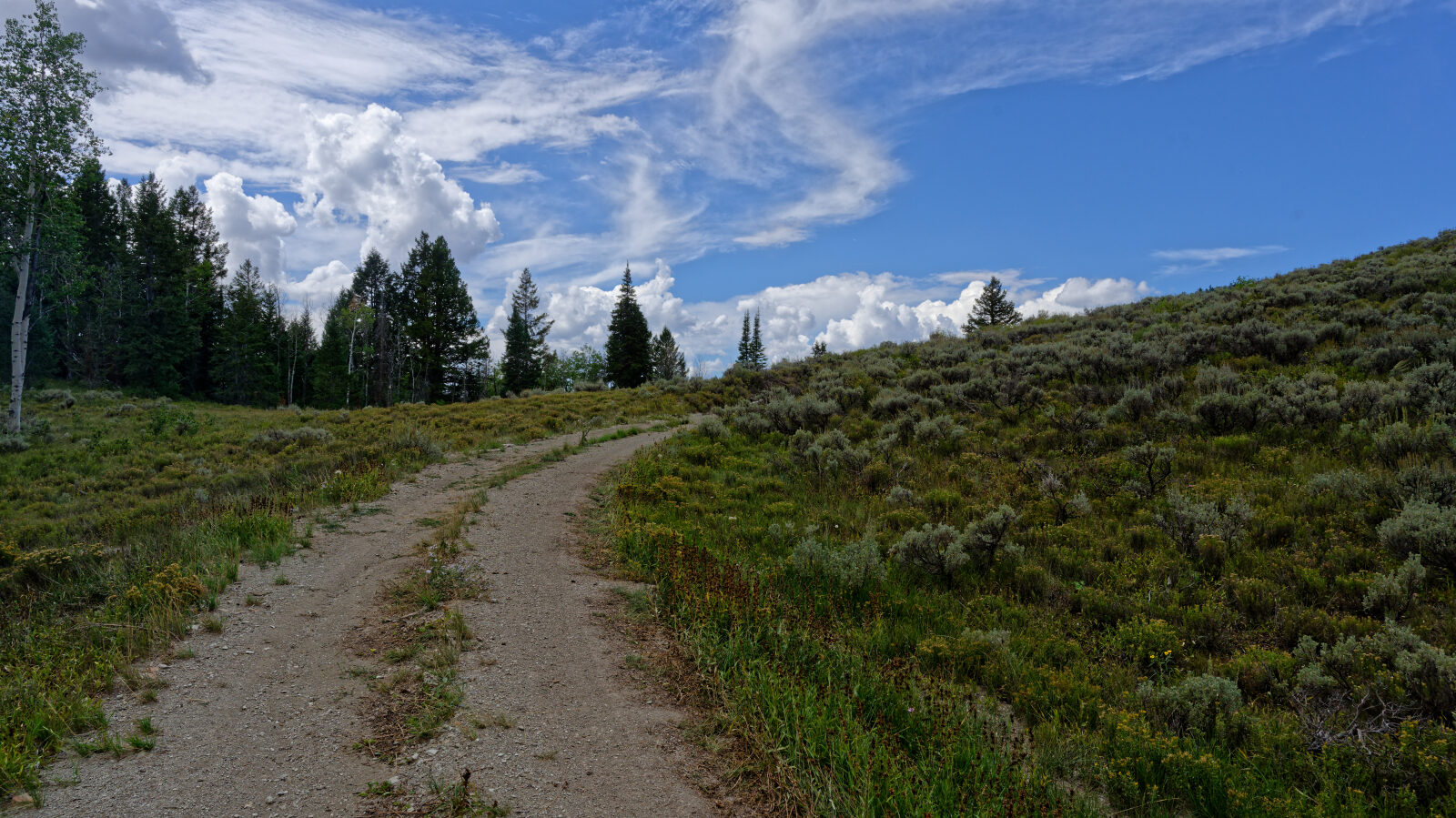
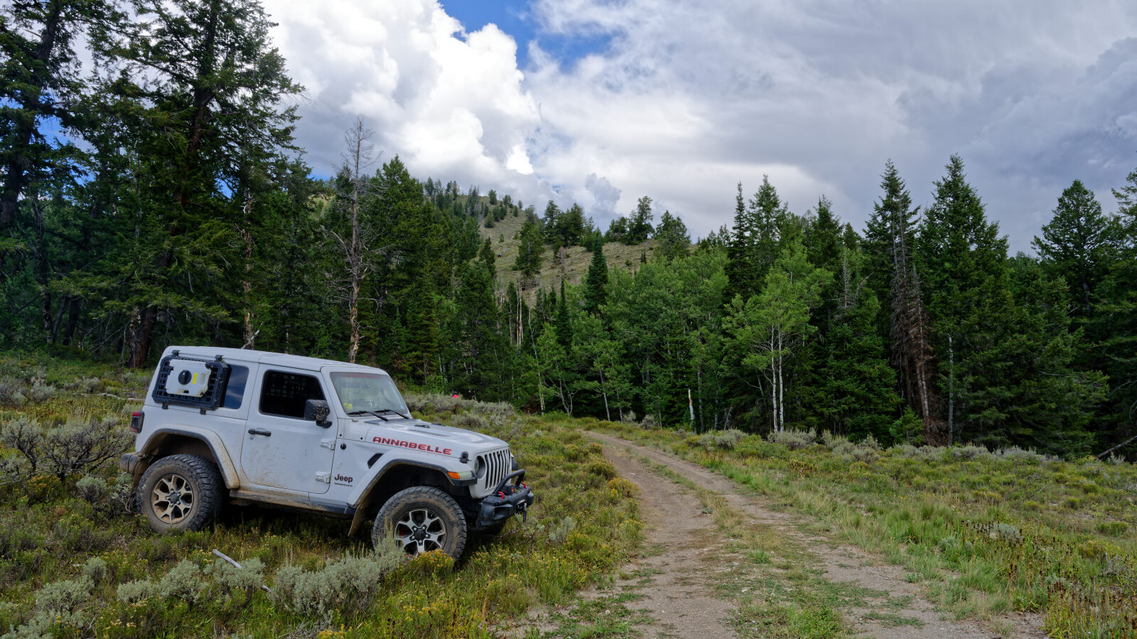
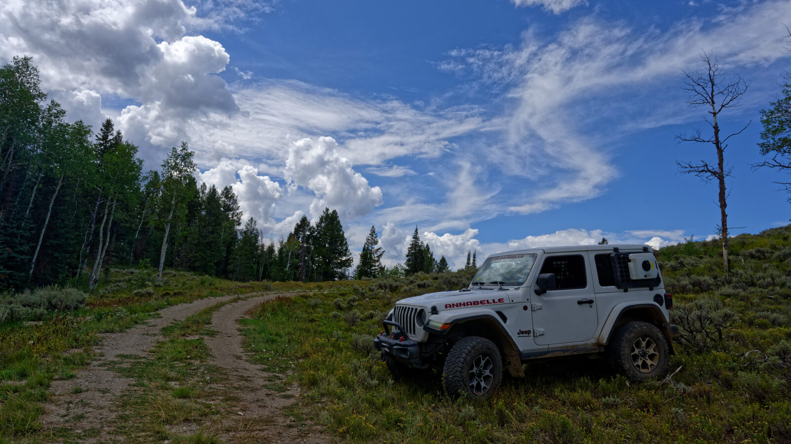
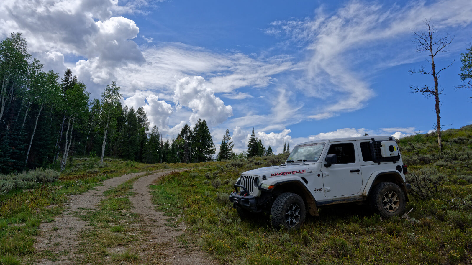
Waypoint 4 (40.01481, -111.05215)
Waypoint 5 (40.01843, -111.05884)
The trail is a shelf road here. It is very narrow, with off-camber spots.